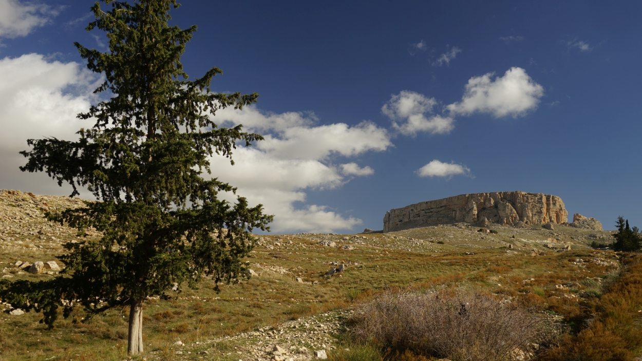
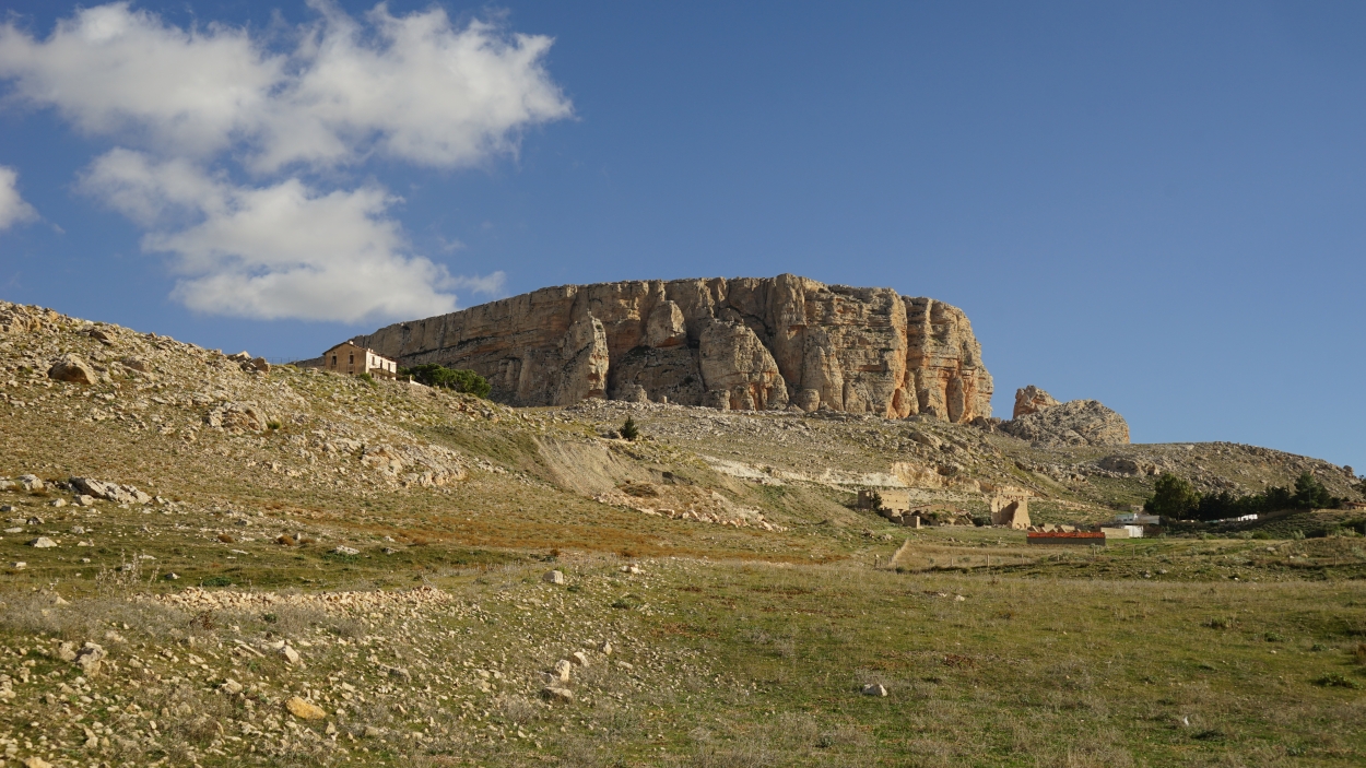
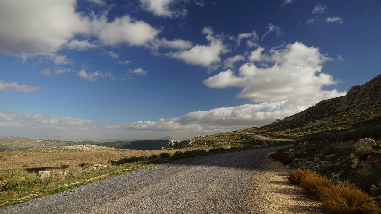
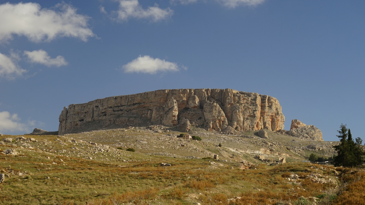
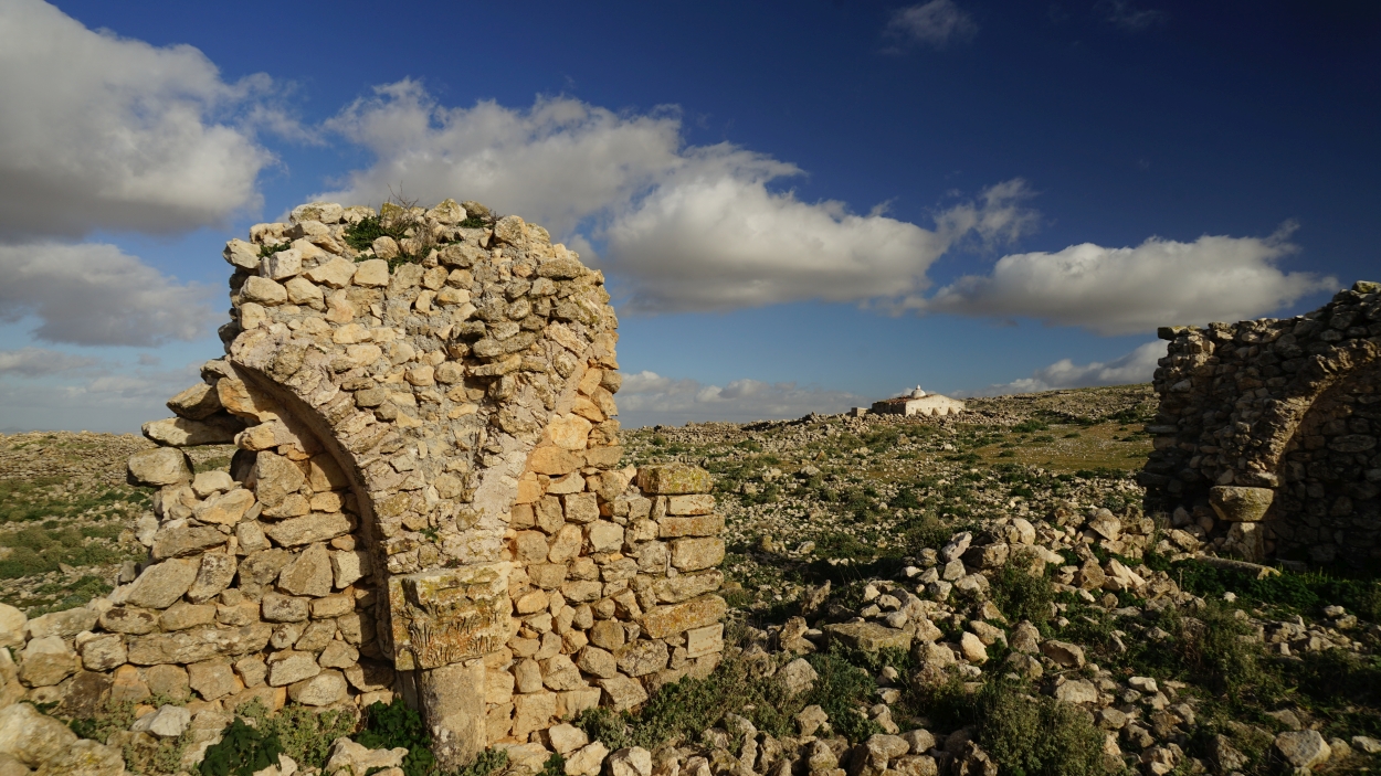
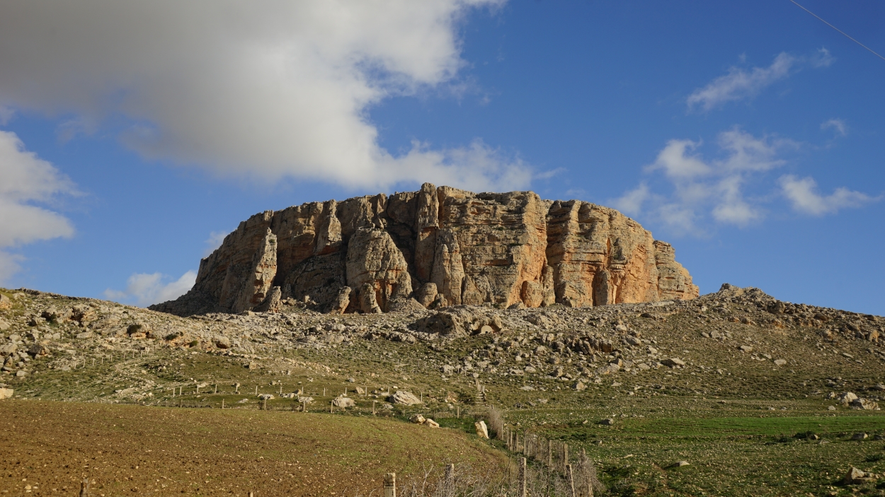
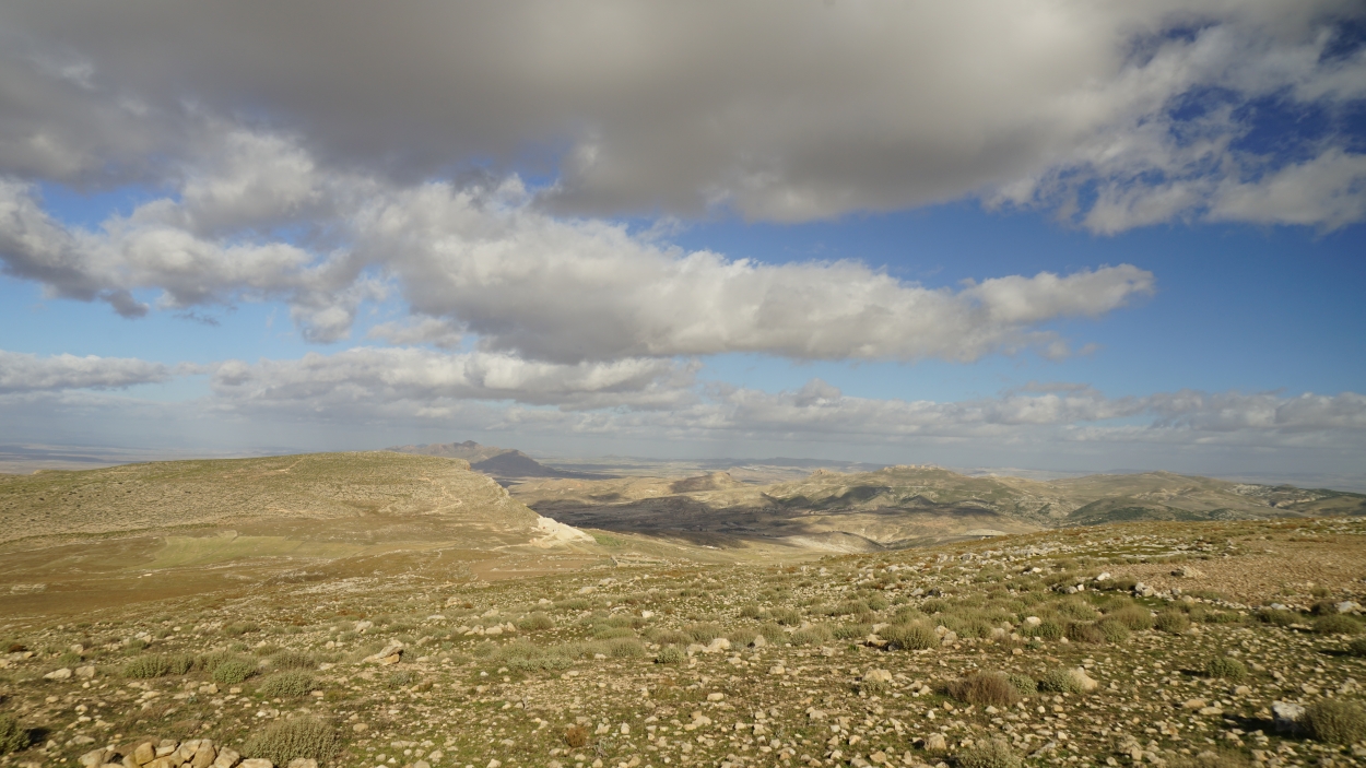
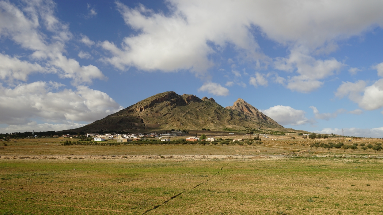
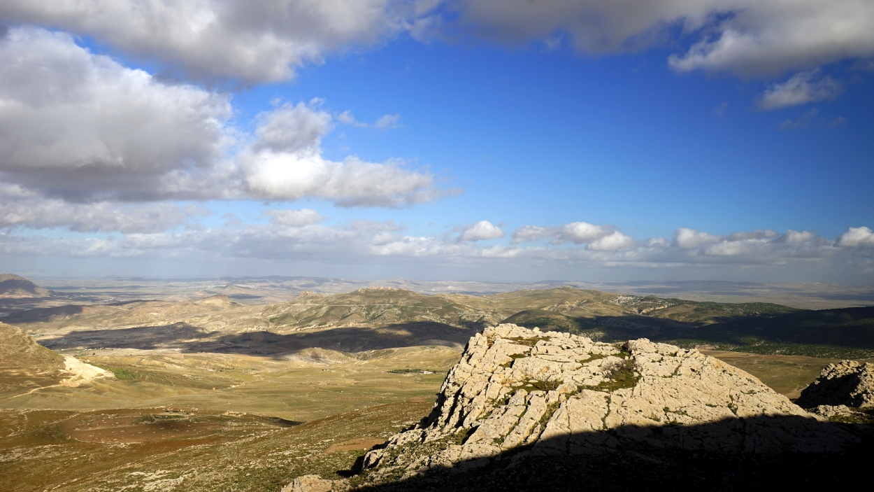
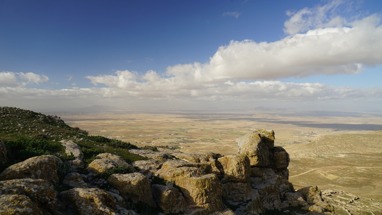
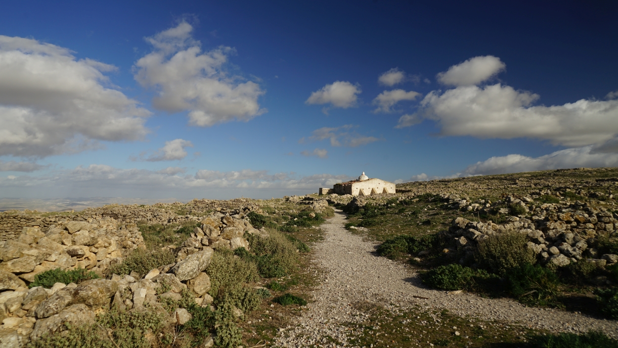
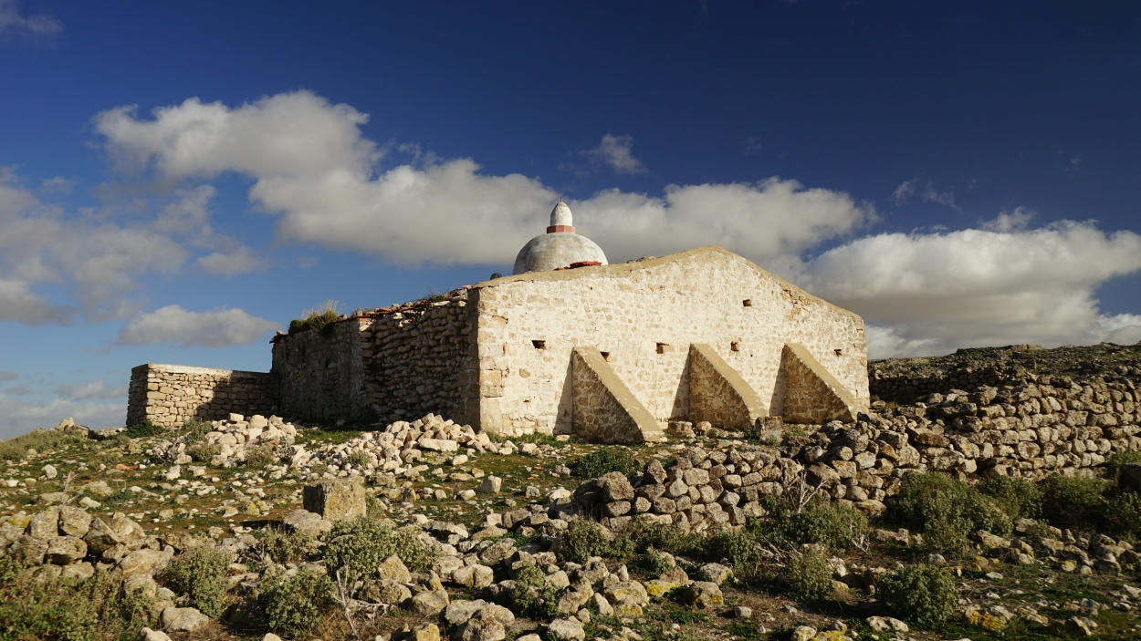
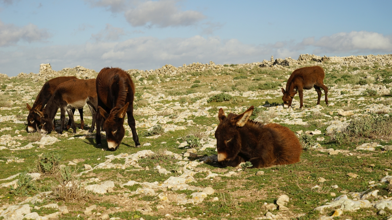
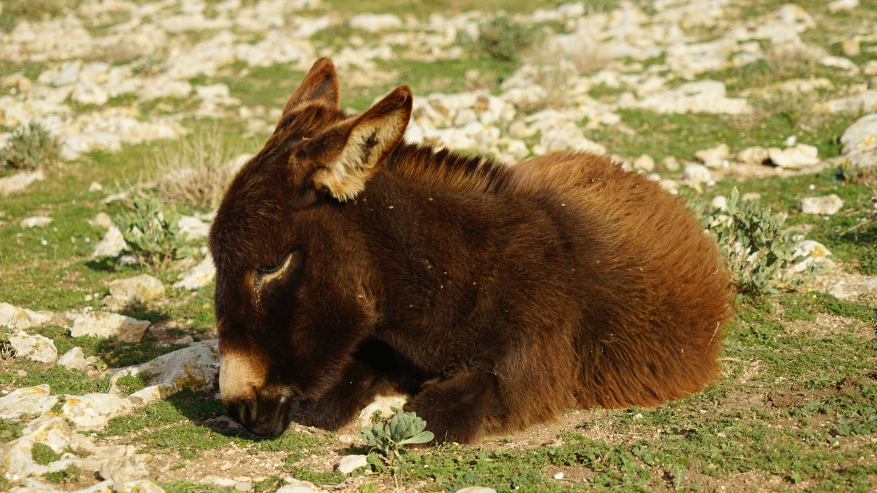
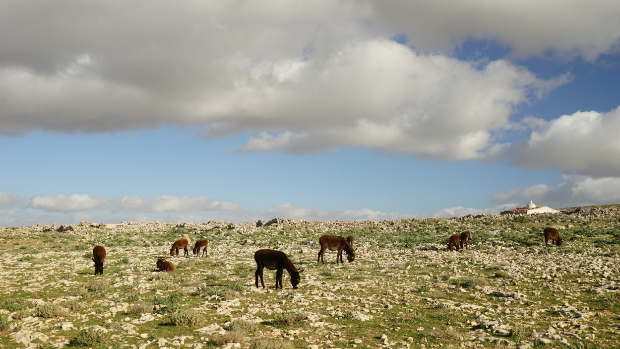
We were waiting at the checkpoint (around 40 km from the mountain) for the national guard patrol. They arrived after 30 minutes and lead us to town Kalaat es Senam. Then we climbed the curvy narrow road to the parking place below the mountain (bakshis to shepherd – 1 TND). This spectacular flat-topped mountain (1271 m) rises almost vertically from the surrounding plains. Its sheer, impregnable walls make it a superb natural fortress. The mountain bears the name of the ruthless Numidian king Jugurtha, who used it as a base during his seven-year campaign against the Romans (112–105 BC). This 1500 meters long and 500 meters wide geologic feature is known as an inverted relief. Millions of years ago, the hard limestone top of the mesa was actually the bottom of a valley. Over the years, the softer surrounding hills were worn away by erosion, leaving the Tableland – and former low point – as the highest point on a plain. Shepherds graze their herds on the rocky plateau, passing over piles of stones and small caves. A few abandoned buildings made from local rocks dot the landscape.
Parking location – Jugurtha’s Table: 35.745179N 8.384214E