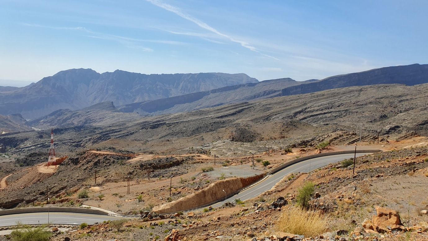
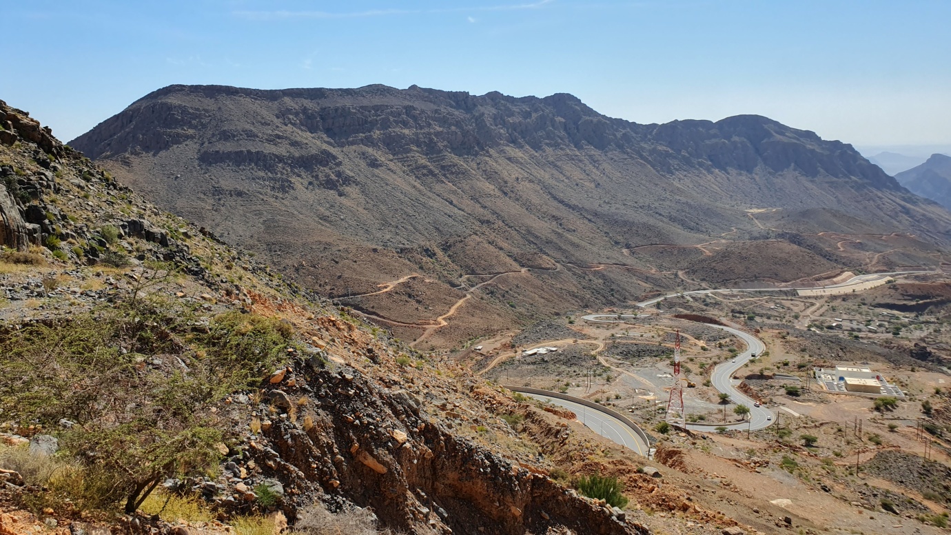
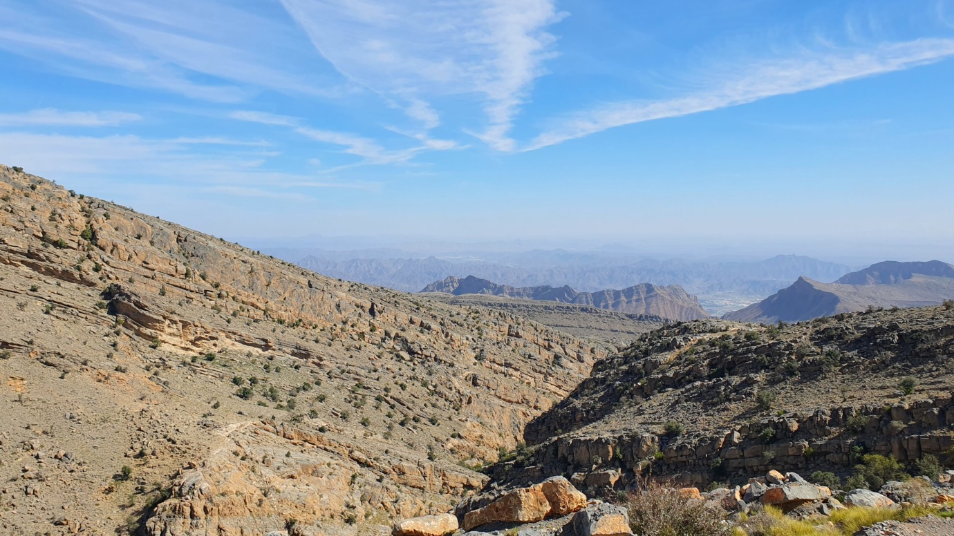
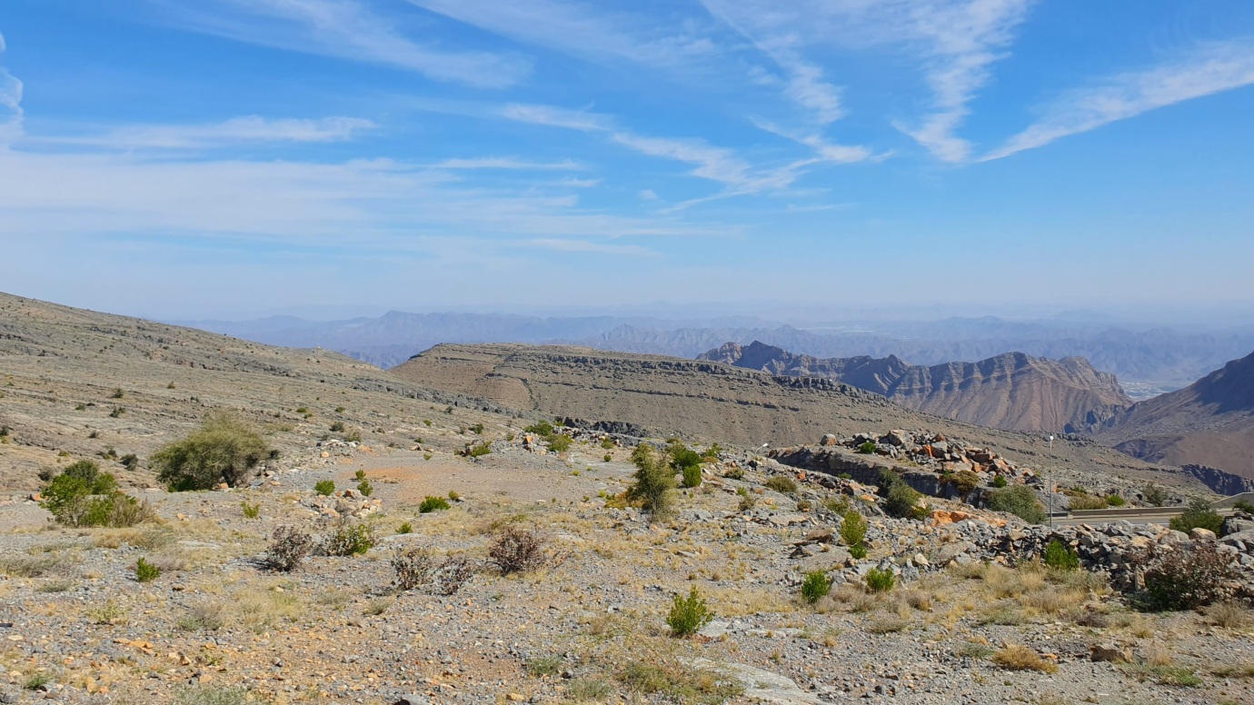
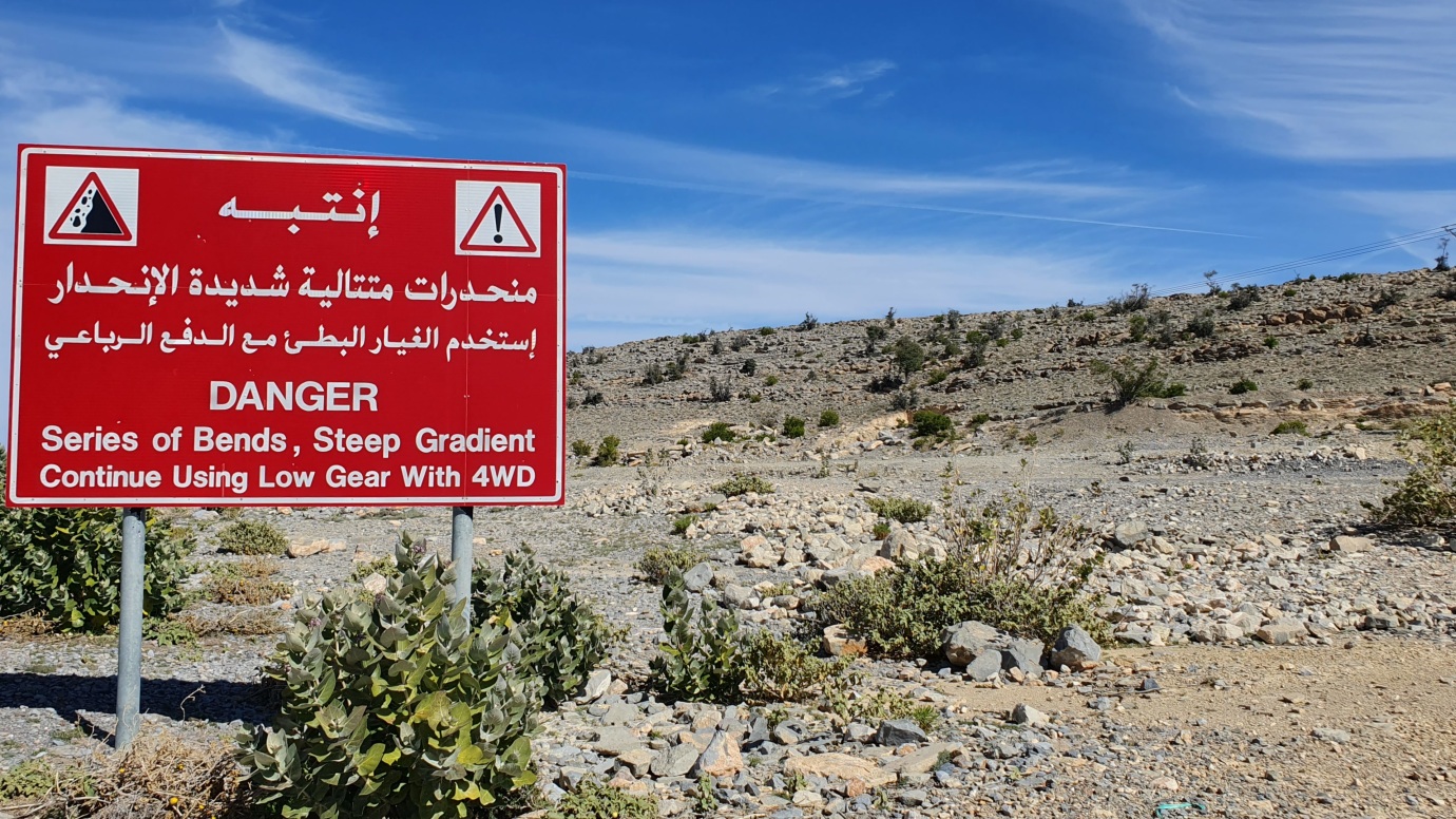
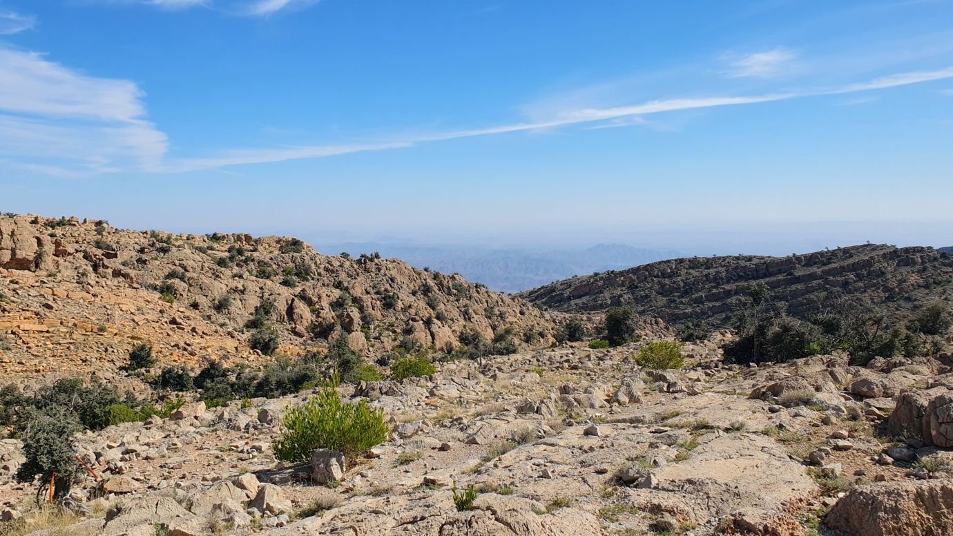
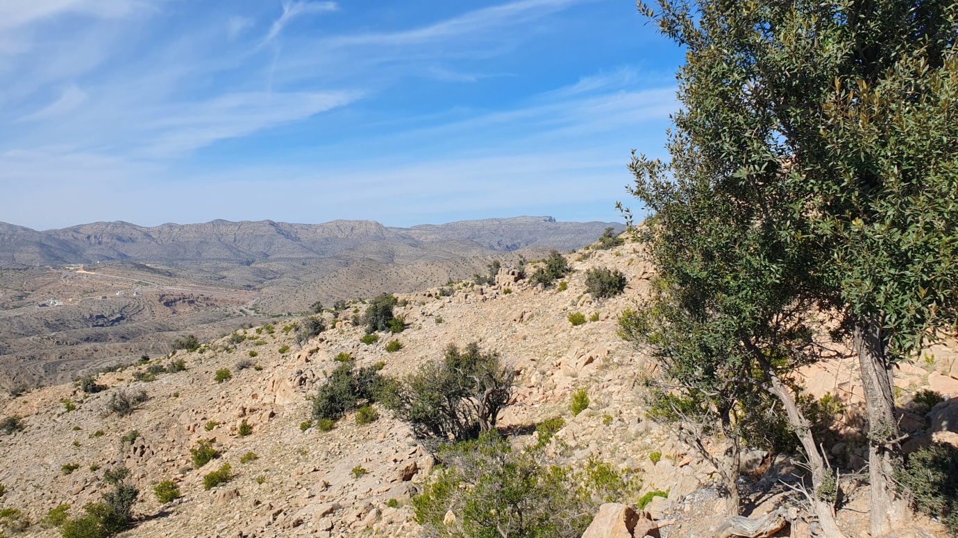
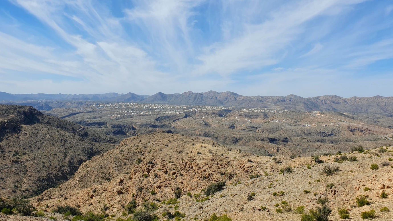
We drove through the dramatic Al-Hajar Mountains Range from Nizwa to Jabal Akhdar, located on the Sayyaq Plateau. It is the highest mountain range within the eastern Arabian Peninsula, above 2,000 meters in elevation. Al-Ḥajar reaches its most significant height at Mount Shams (2,980 meters). Geologically, the mountain chain comprises a series of superimposed sheets called nappes. Nappes made of ophiolites (slices of the ocean floor that have been thrust onto continental crust) that were laid down during the Cretaceous Period (145 million to 66 million years ago) sit above nappes made of sedimentary rocks that were laid down earlier during the Cretaceous.
Bowl-like valleys are carved into the northern face of Al-Ḥajar by northward-flowing wadis and contain tiny agricultural settlements connected with the coast by graded tracks. Al-Ḥajar is generally bleak except for Jabal Al-Akhḍar, where more significant rainfall permits the growth of some alfalfa, date palms, lime bushes, and fruit trees. Some wildlife species include leopards and the Arabian tahr, a wild goat not found in the rest of the country.
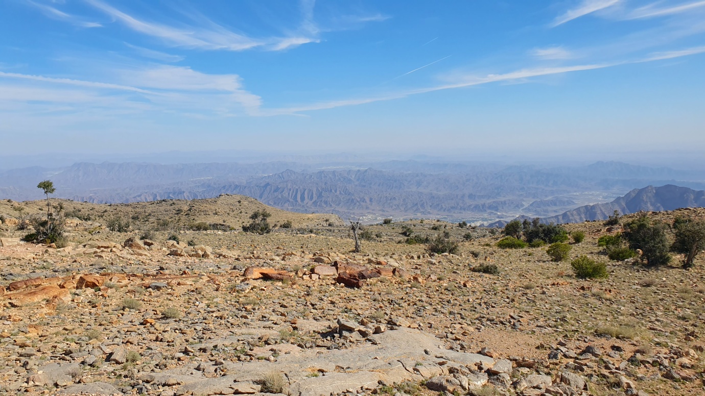
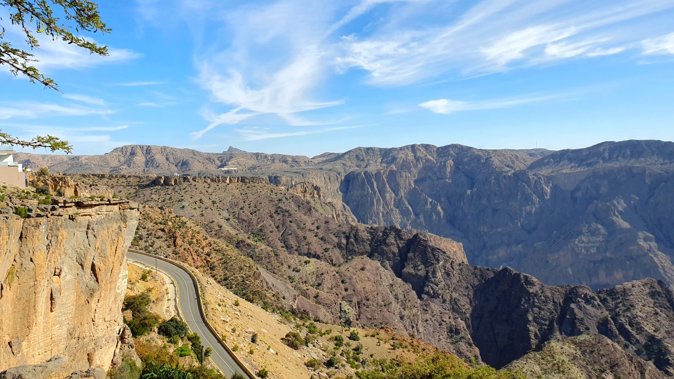
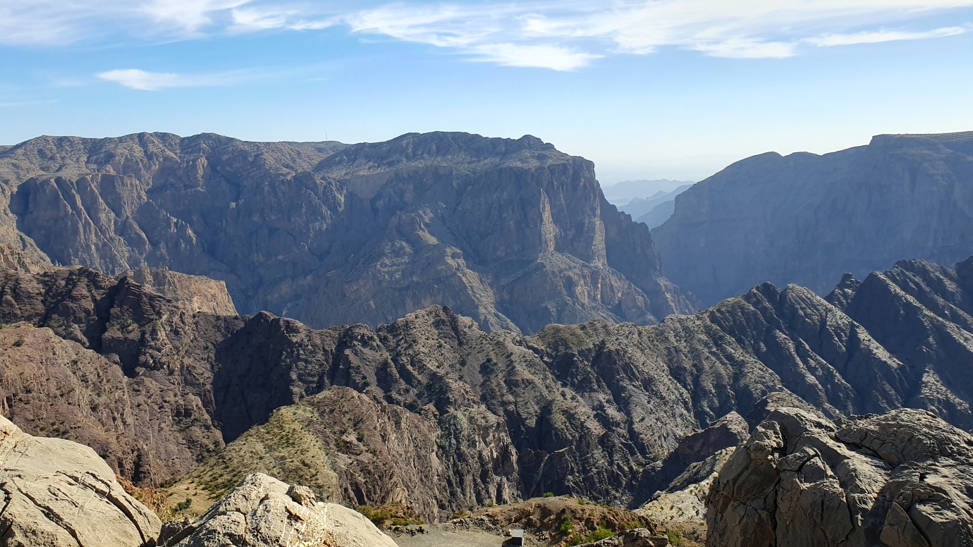
After a two-hour steep drive, we reached the famous Diana’s Viewpoint with a celebrated panoramic view. This spectacular vista has a royal connection. Diana, Princess of Wales, enjoyed this spot on a royal visit to Oman with the future British king in 1986.
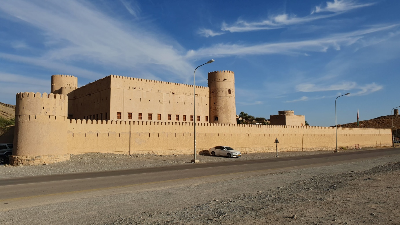
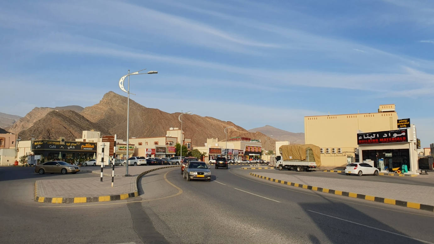
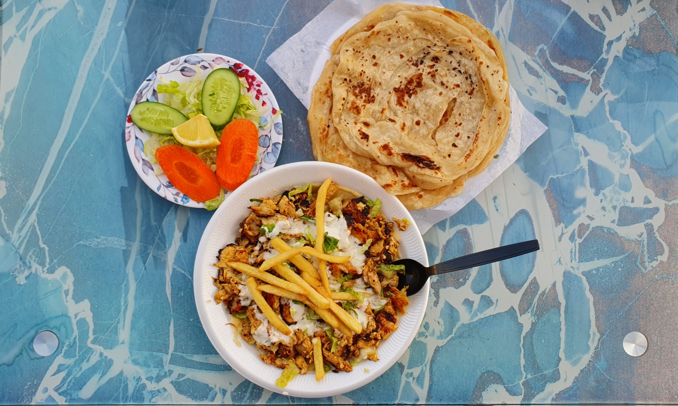
It was a dangerous, slow drive back due to a steep and long descent to Birkat Al Mouz. In the end, our wheels reached a crazy 104 °C. We parked next to the castle and went for dinner before our overnight (Schwarma plate, salad, paratha bread, water, Pepsi, and local energy drink – 1,60 OMR).
Parking location – Birkat Al Mouz: 22.925764N 57.666455E