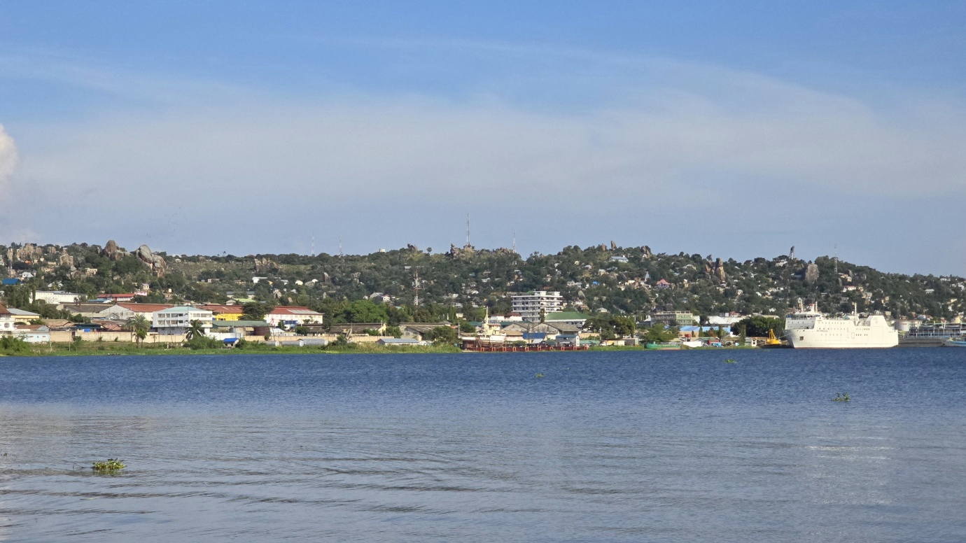
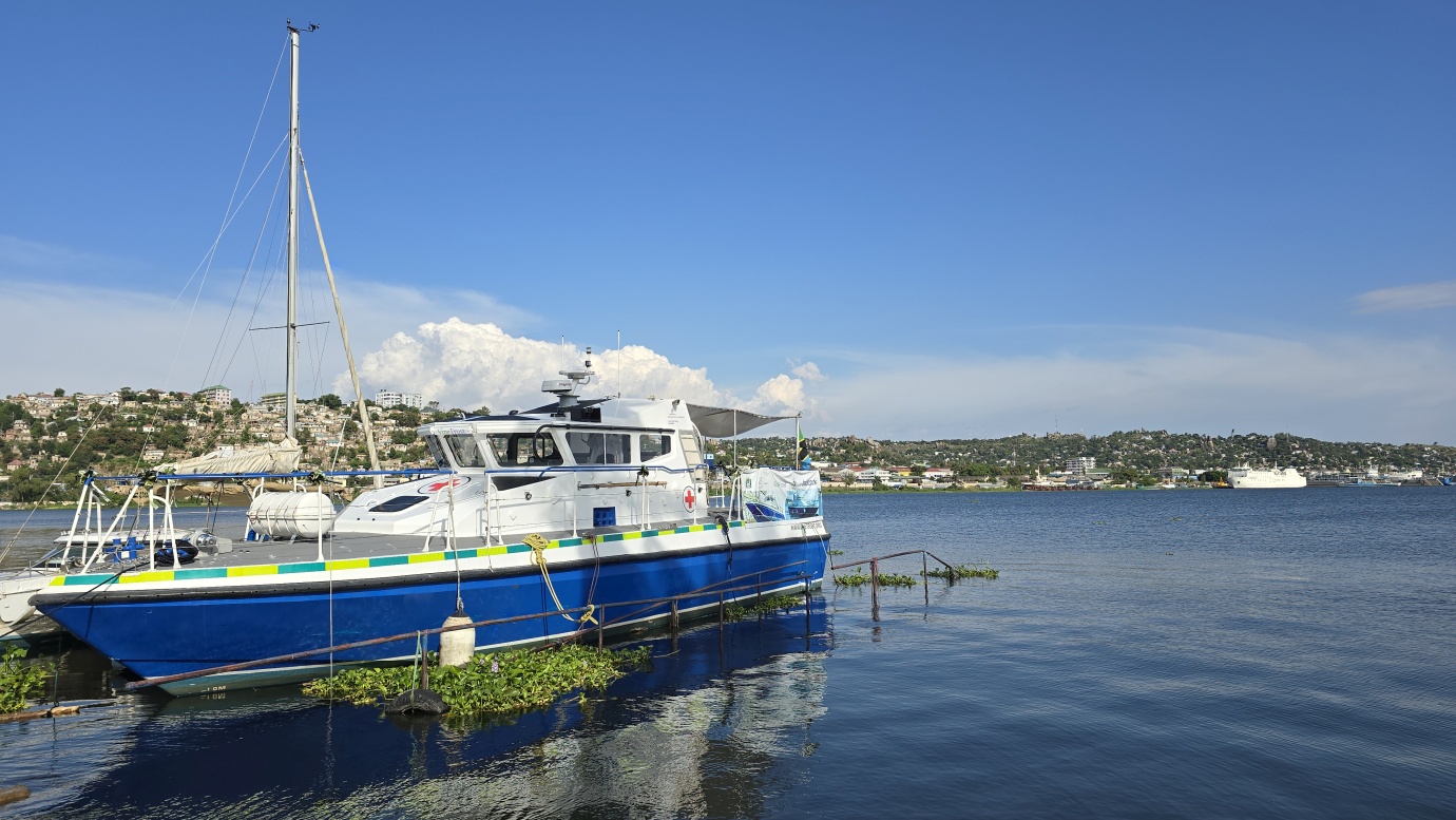
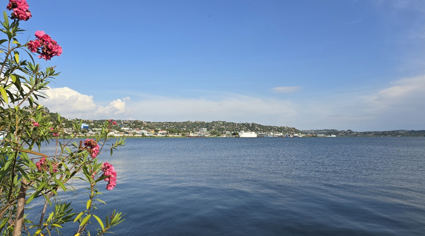
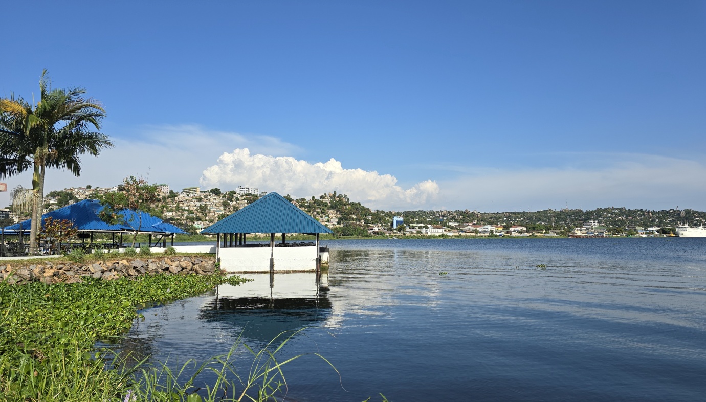
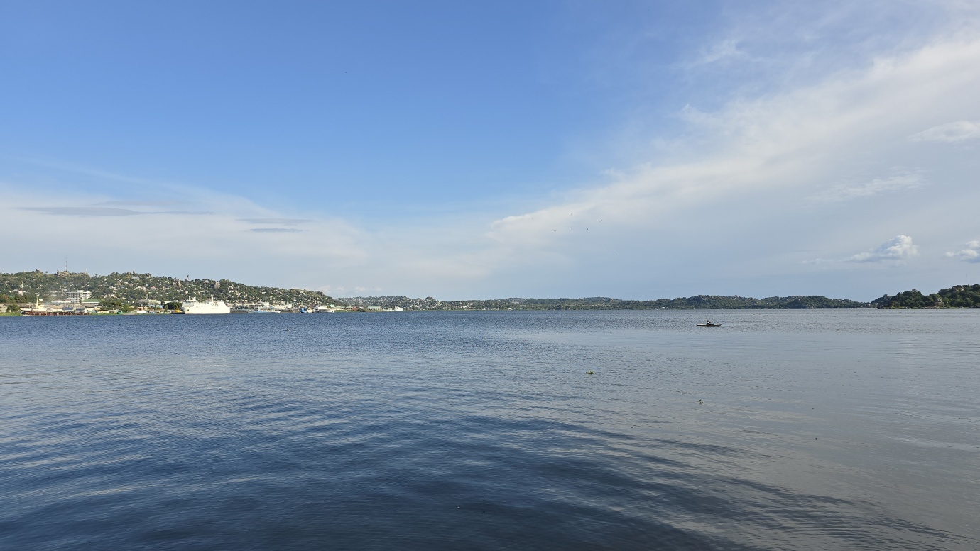
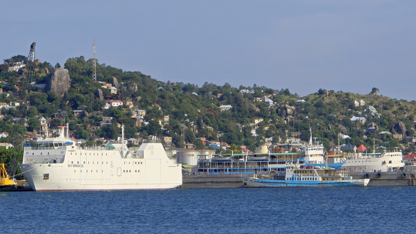
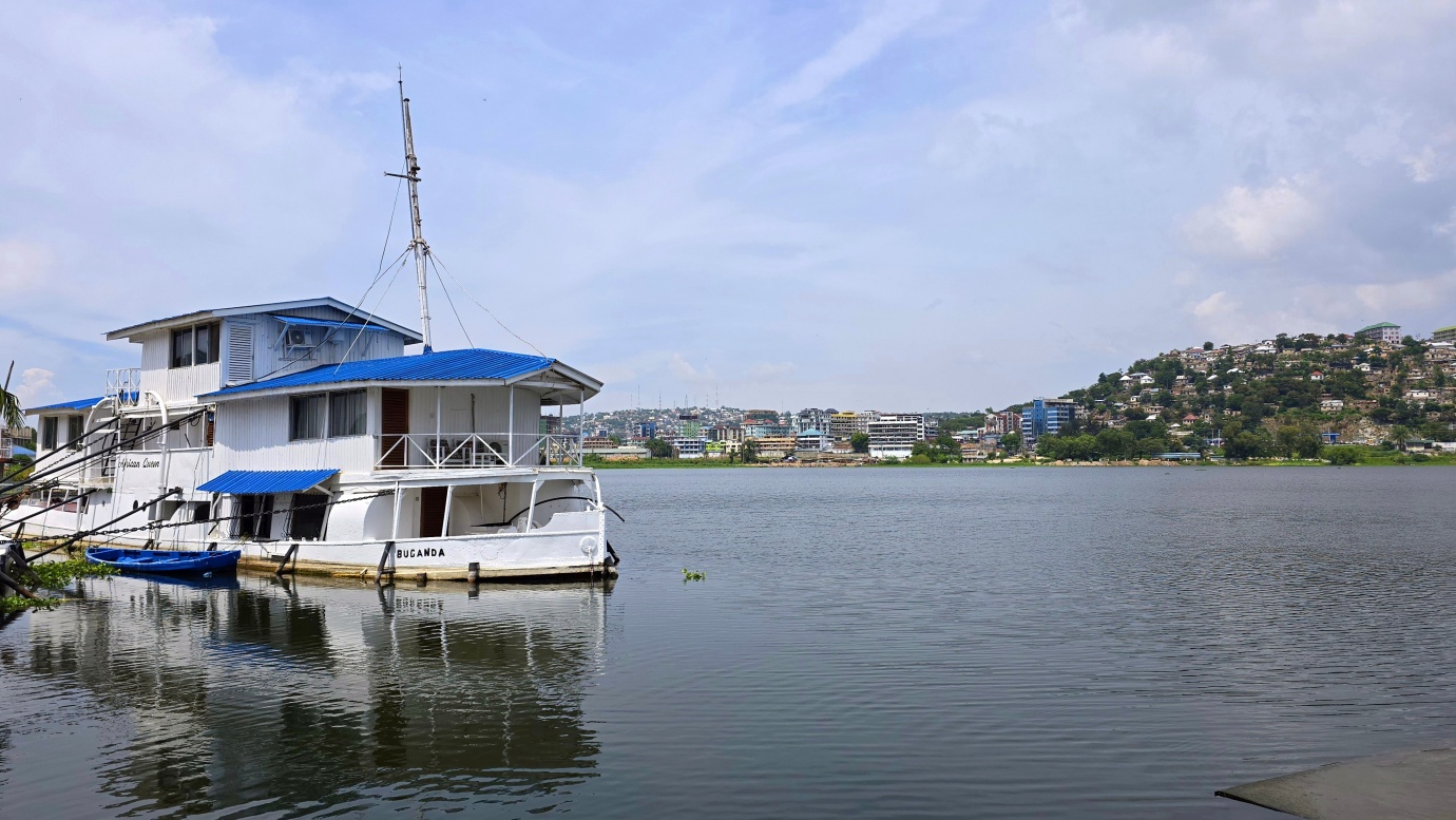
We spent a considerable amount of time on the shores of Lake Victoria, traveling for three months through Kenya and Uganda, and never made a post about this majestic lake. Here we go on our final approach to Lake Victoria, the largest lake in Africa and the primary source of the Nile River.
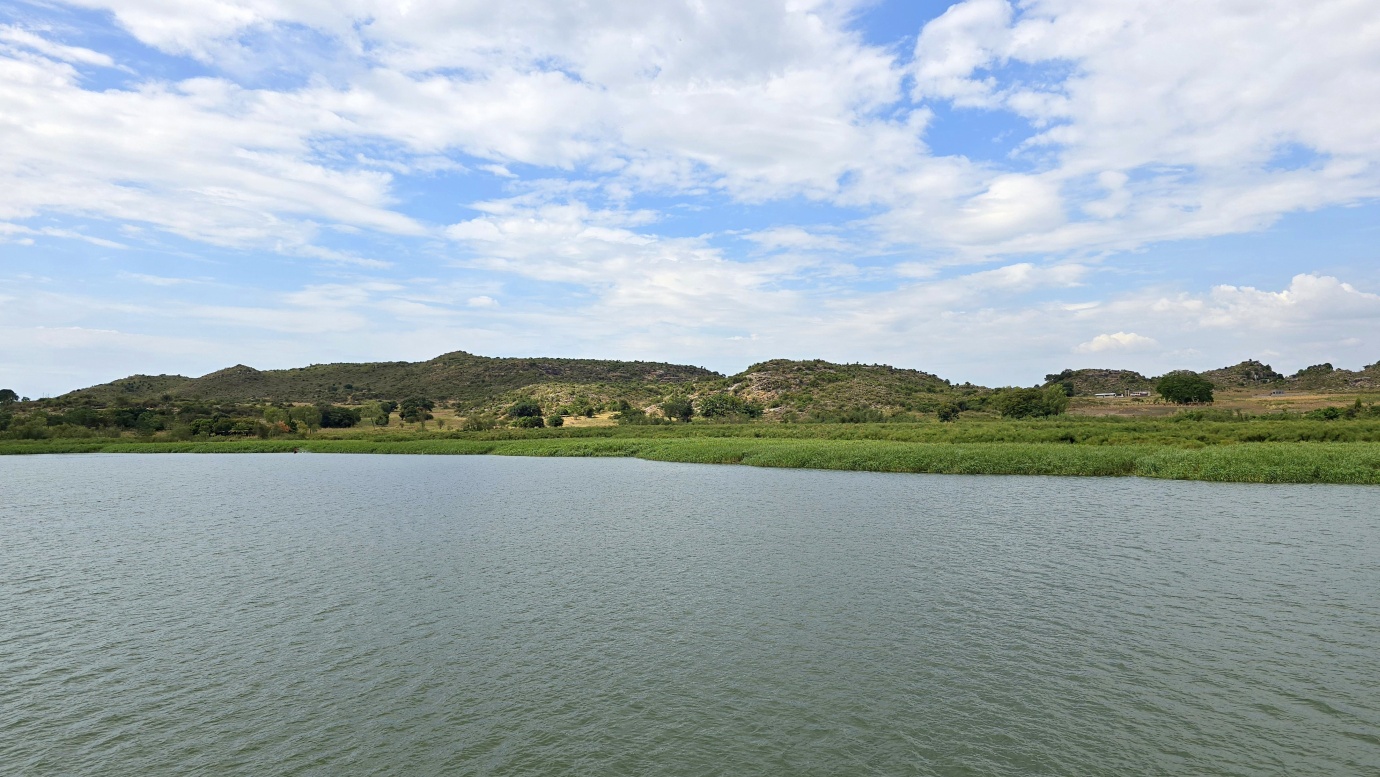
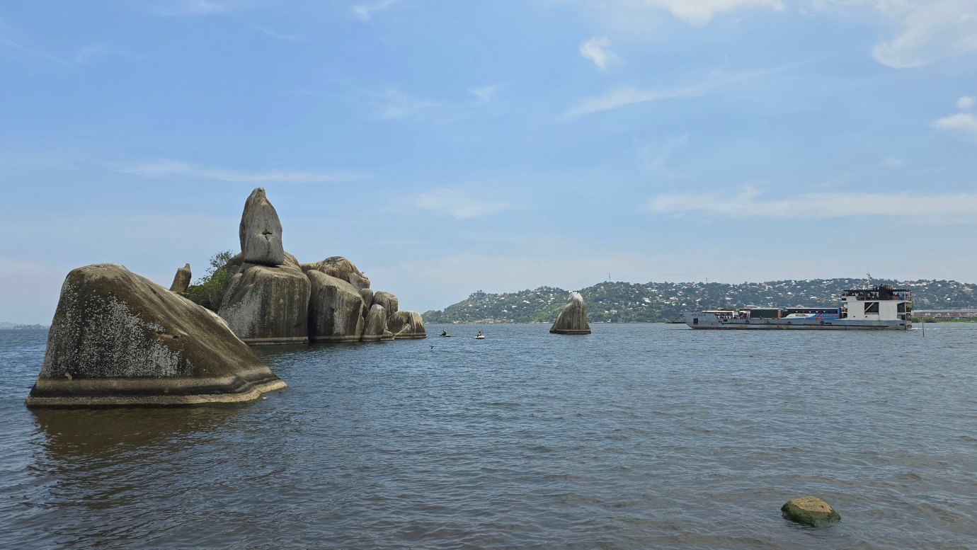
It is the third-largest freshwater lake, located 1134 meters above sea level, covering an area of 69,484 square kilometers. Its waters fill a shallow depression in the centre of the great plateau that stretches between the Western and Eastern Rift Valleys. Its greatest length from north to south is 337 km, its greatest breadth 240 km, and its greatest ascertained depth is 82 metres. There are many archipelagos and cliffs, and more than 200 species of fish, of which the Tilapia is the most economically important. The lake’s basin area covers 92,240 square miles (238,900 square km). The Kagera and Katonga Rivers are the most important of the lake’s affluents. The lake’s only outlet is the Victoria Nile, which exits from the northern coast.
The search by Europeans for the source of the Nile led to the sighting of the lake by the British explorer John Hanning Speke in 1858. Formerly known to the Arabs as Ukerewe, the lake was named by Speke in honour of Queen Victoria of England. A detailed survey of the lake was made by Sir William Garstin in 1901. Plans for gradually raising the level of the lake’s waters were completed in 1954 with the construction of the Owen Falls Dam (now the Nalubaale Dam) on the Victoria Nile at Jinja, Uganda. The dam generates hydroelectric power on a large scale, making the lake a vast reservoir of water. A second dam, Kiira, was constructed in 1999 near Nalubaale. In the late 20th and early 21st centuries, the lake and its surrounding areas were threatened by the consequences of overfishing as well as by ecological damage from pollution and invasive species.