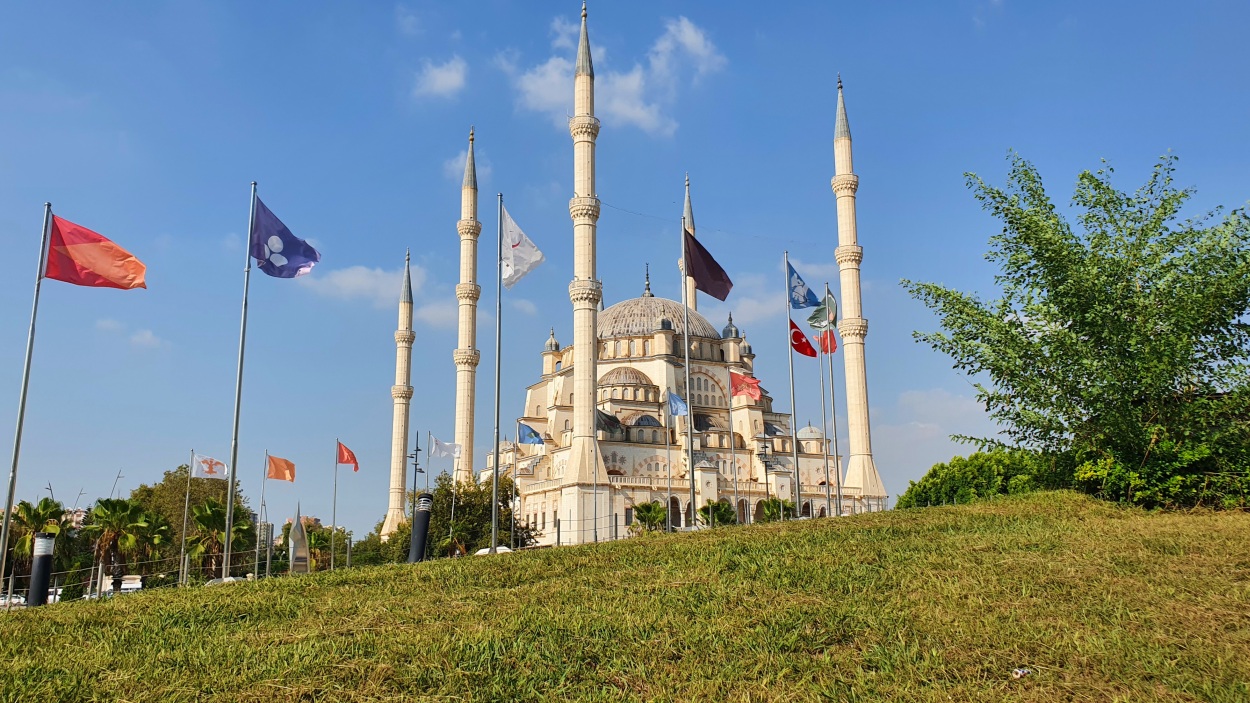
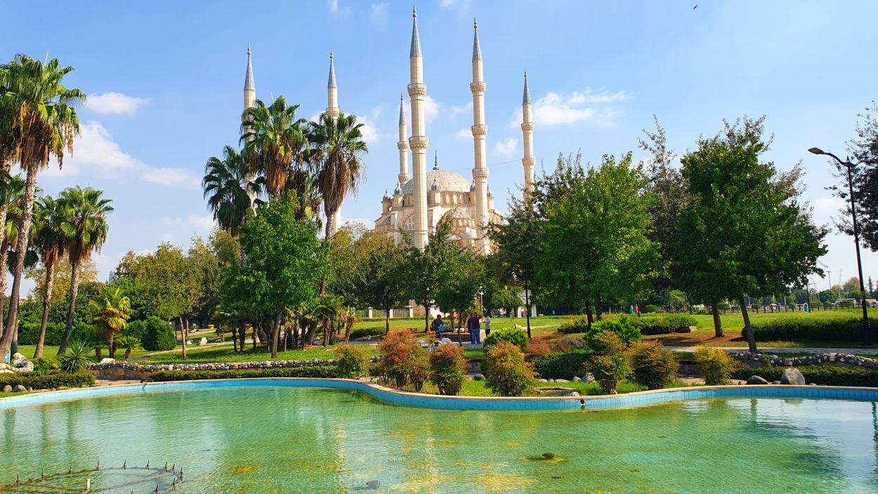
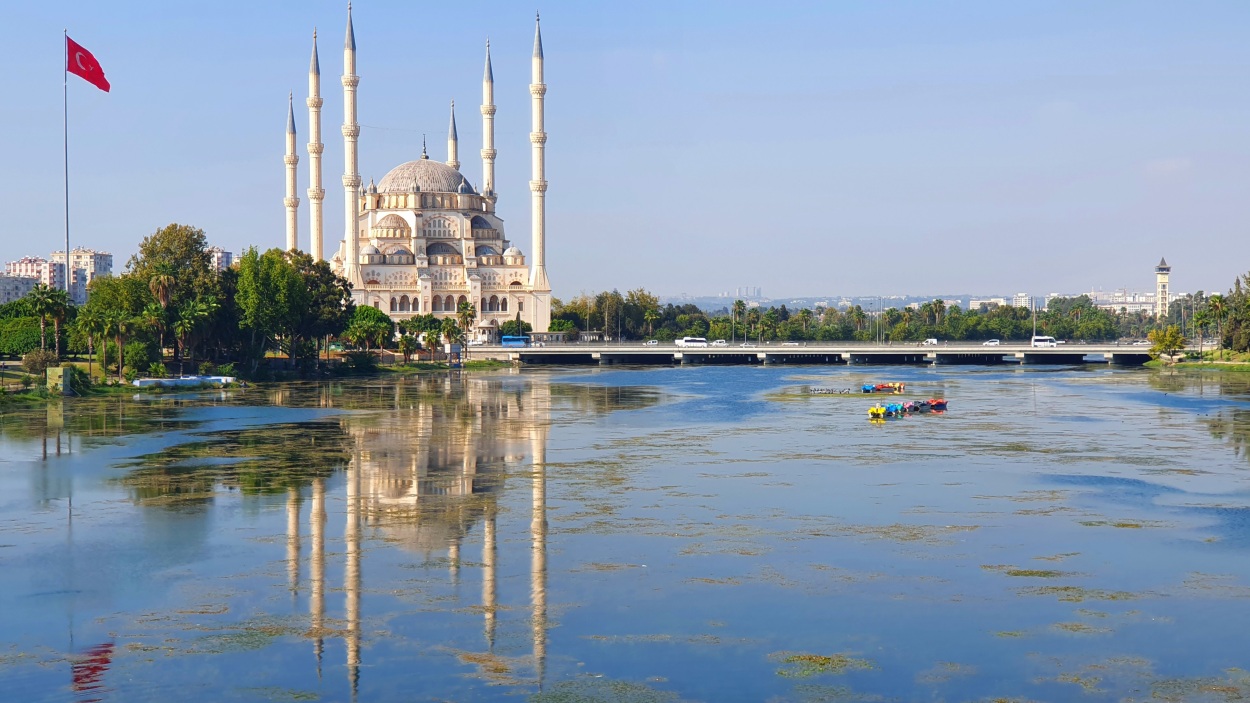
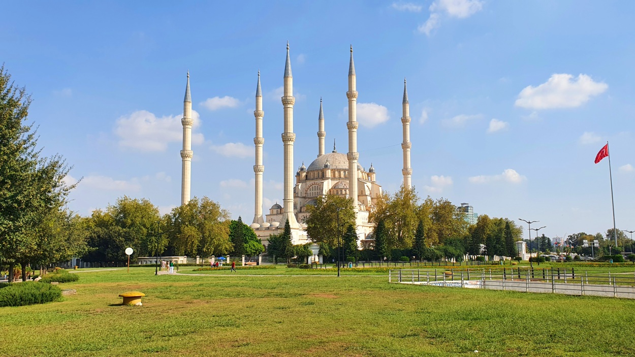
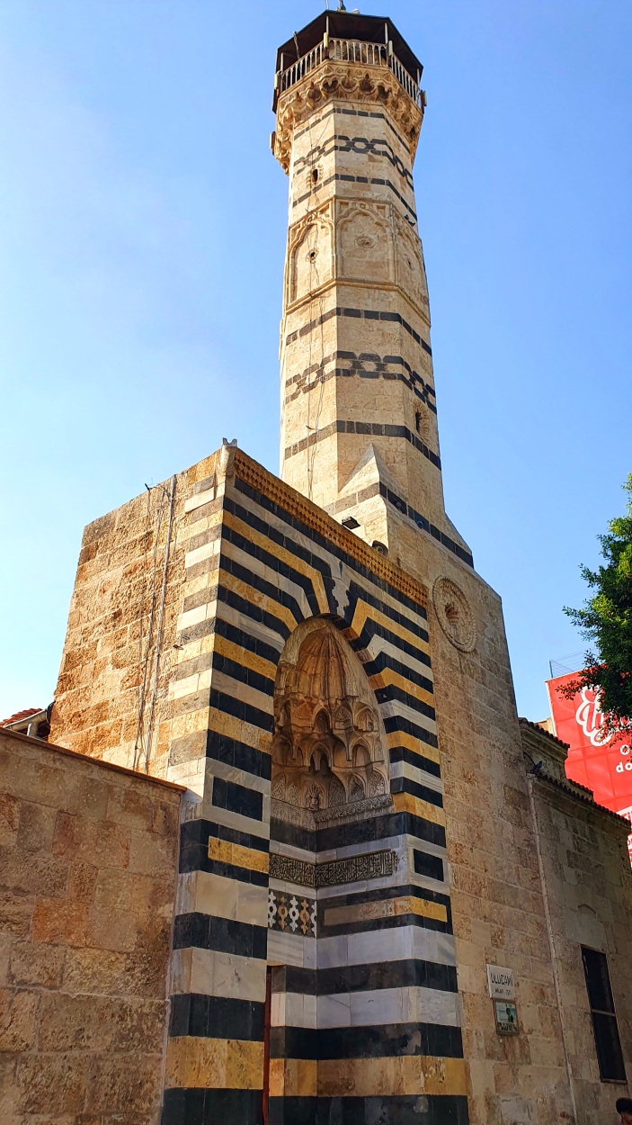
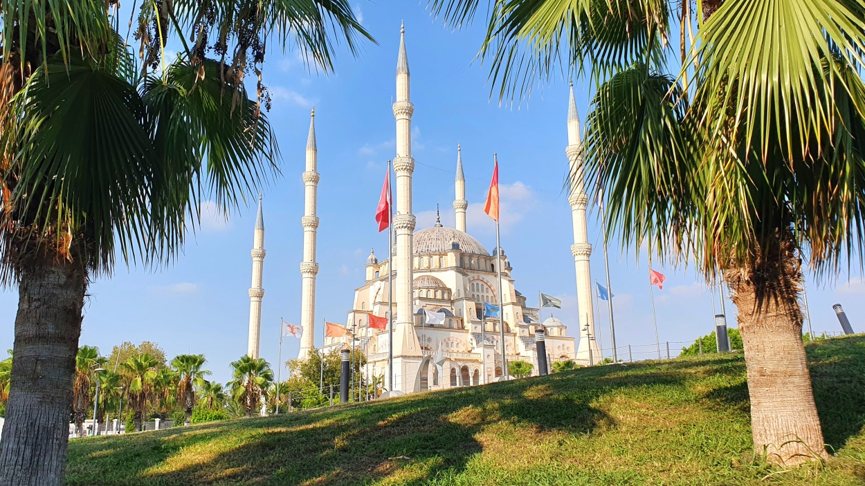
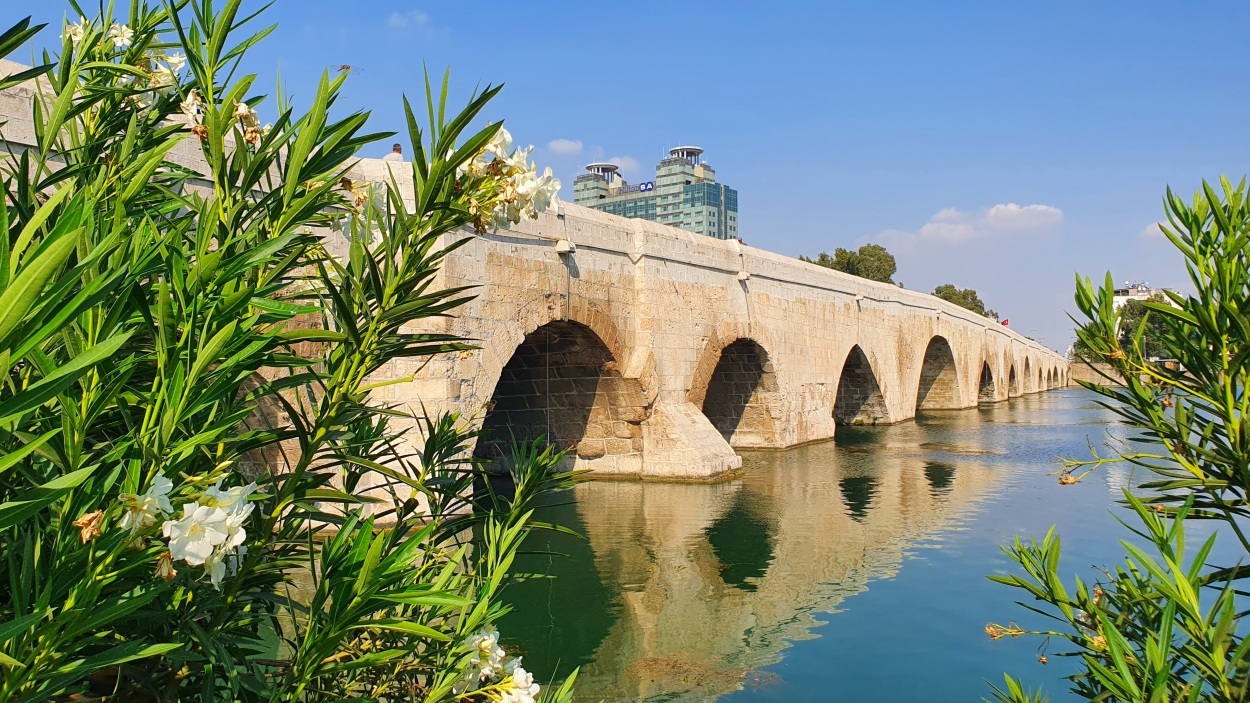
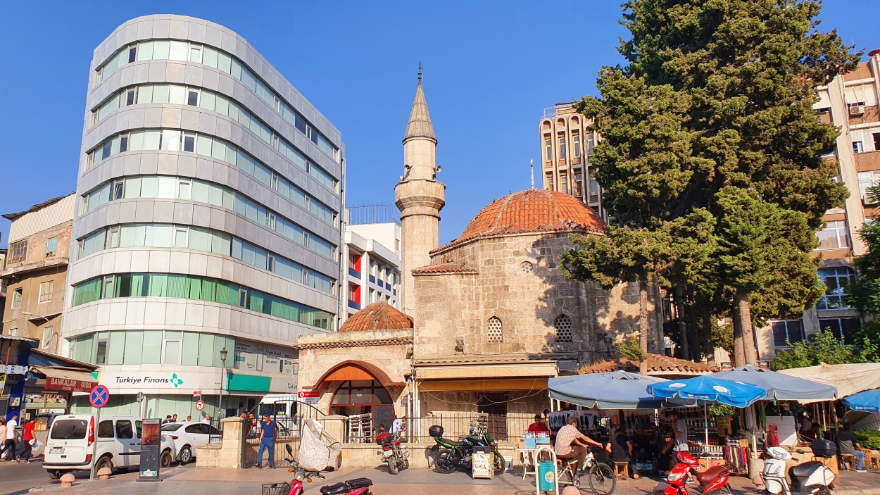
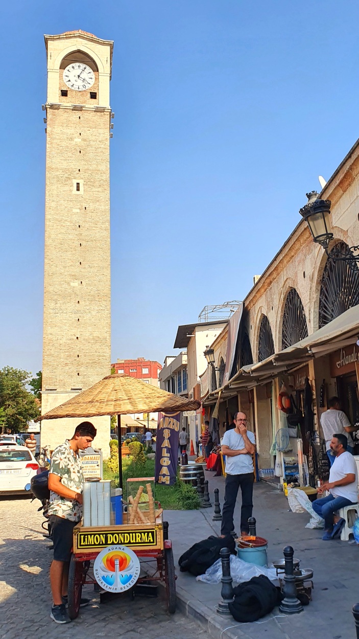
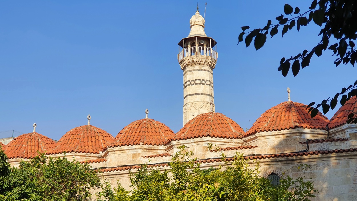
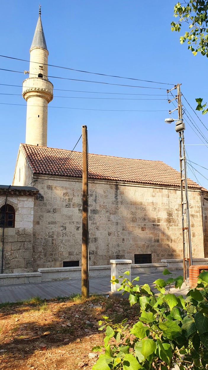
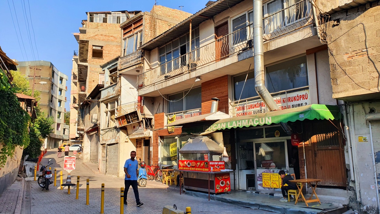
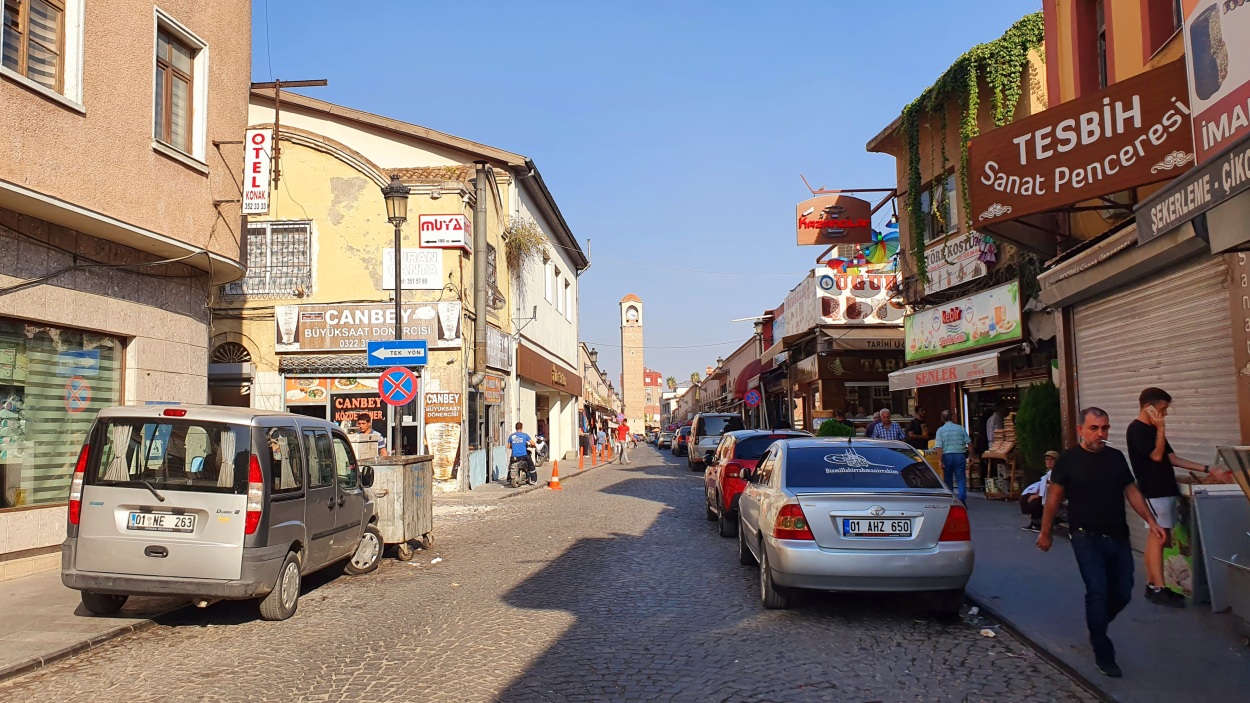
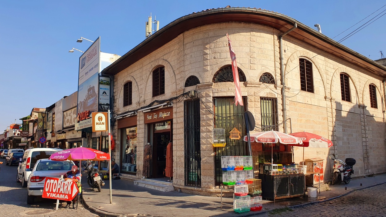
Adana, the country’s fourth largest city, is situated in the plain of Cilicia, on the Seyhan River. We parked in the center just next to the highlight of Adana – the largest mosque between İstanbul and Saudi Arabia. The six-minaret Sabancı Merkez Camii rising gracefully from the left bank of the Seyhan River. It was built by the late industrial magnate Sakıp Sabancı (1933–2004), a philanthropist and founder of the second-richest family dynasty in Turkey, and is covered top to tail in marble and gold leaf. With a 54m-high central dome, it can accommodate an estimated 28,500 worshippers. Adana probably overlies a Hittite settlement that dates from approximately 1400 BC. Its history has been profoundly influenced by its location at the foot of the Taurus Mountain passes leading to the Syrian plains. Conquered by Alexander the Great in 335–334 BC, it came under the rule of the ʿAbbāsid Arabs at the end of the 7th century CE. It changed hands intermittently in the next 600 years until the establishment of the Turkmen Ramazan dynasty in 1378. The Ramazan rulers retained control of local administration even after Adana was conquered by the Ottoman sultan Selim I in 1516. In 1608 Adana was reconstituted as a province under direct Ottoman administration. Adana became a provincial capital in 1867. We walked on a stone bridge 200 meters long spanning the Seyhan River, dating from the time of the Byzantine emperor Justinian I and restored by several Arab rulers of the area in the 8th and 9th centuries. The principal mosque, the Ulu Cami, dates from 1542. Adana’s prosperity has long come from the fertile valleys behind it and its position as a bridgehead on the Anatolian-Arabian trade routes. In the evening, we do recommend trying Maki restaurant for dinner (Veal Steak – 150 TRY, Chicken skewer – 75 TRY, Water – 17 TRY, Lemonade – 29 TRY, Ayran – 18 TRY, Diplomat cocktail – 110 TRY) and next to it The North Shield pub for beer (Efes – 0,5 l / 50 TRY).
Parking location – Adana: 37.001203N 35.335255E (🚻 – 06:00-24:00)