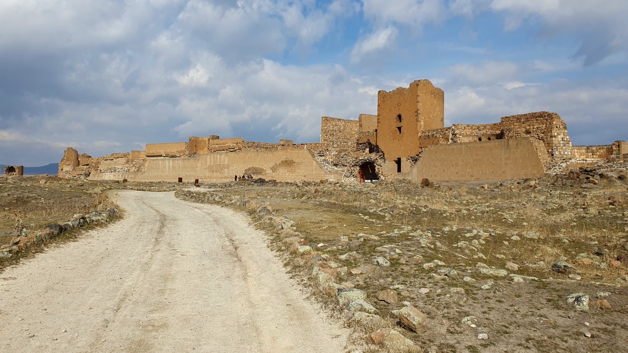
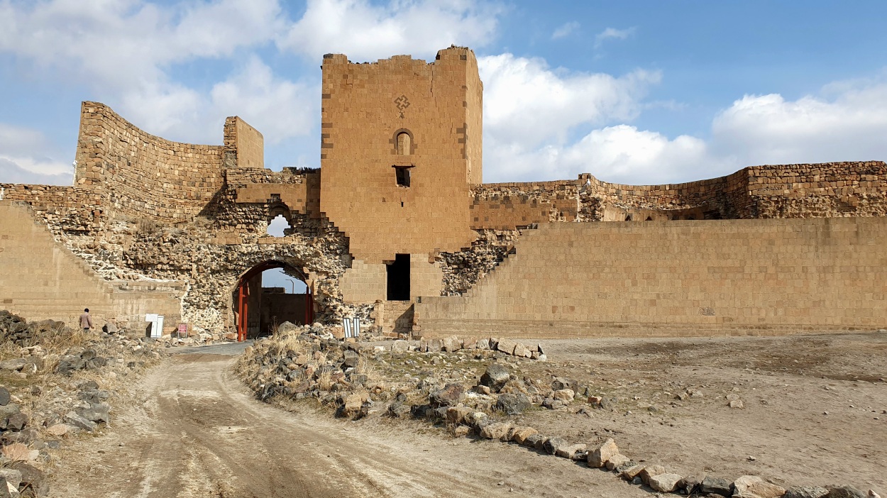
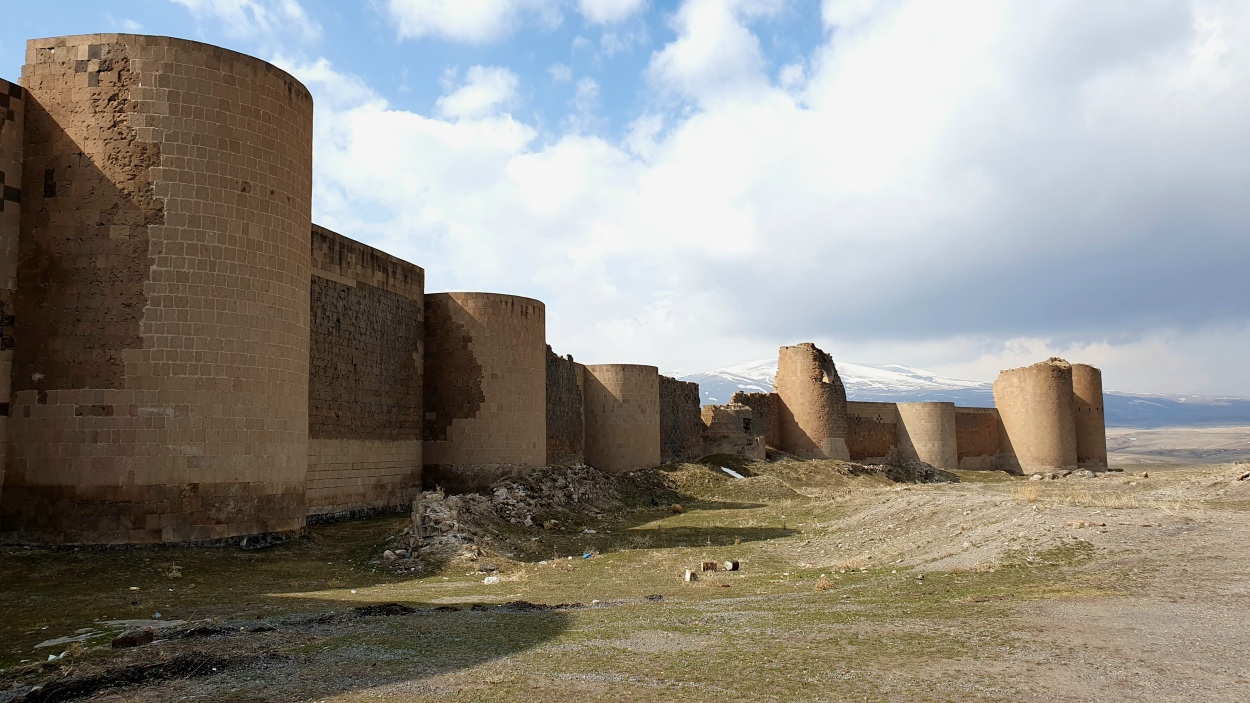
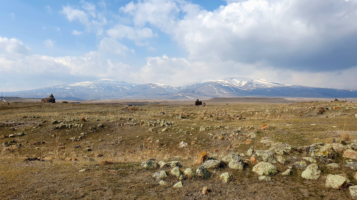
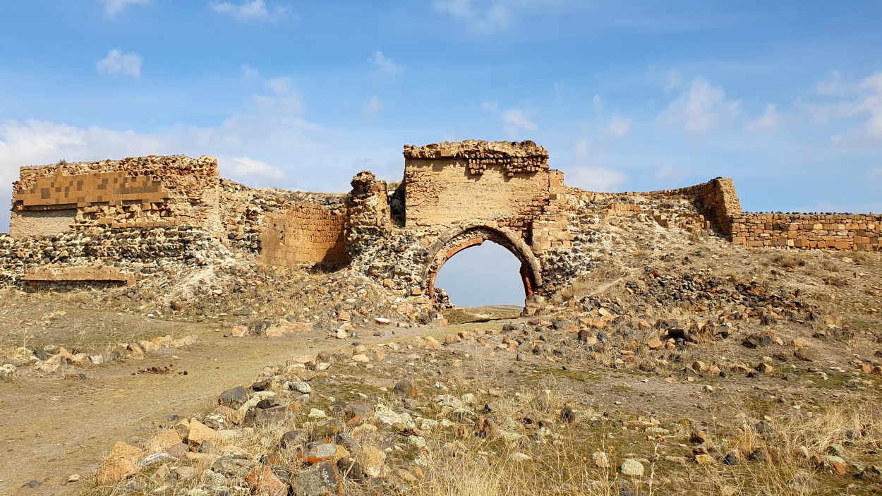
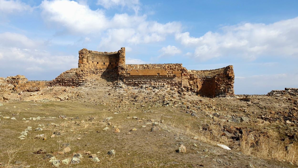
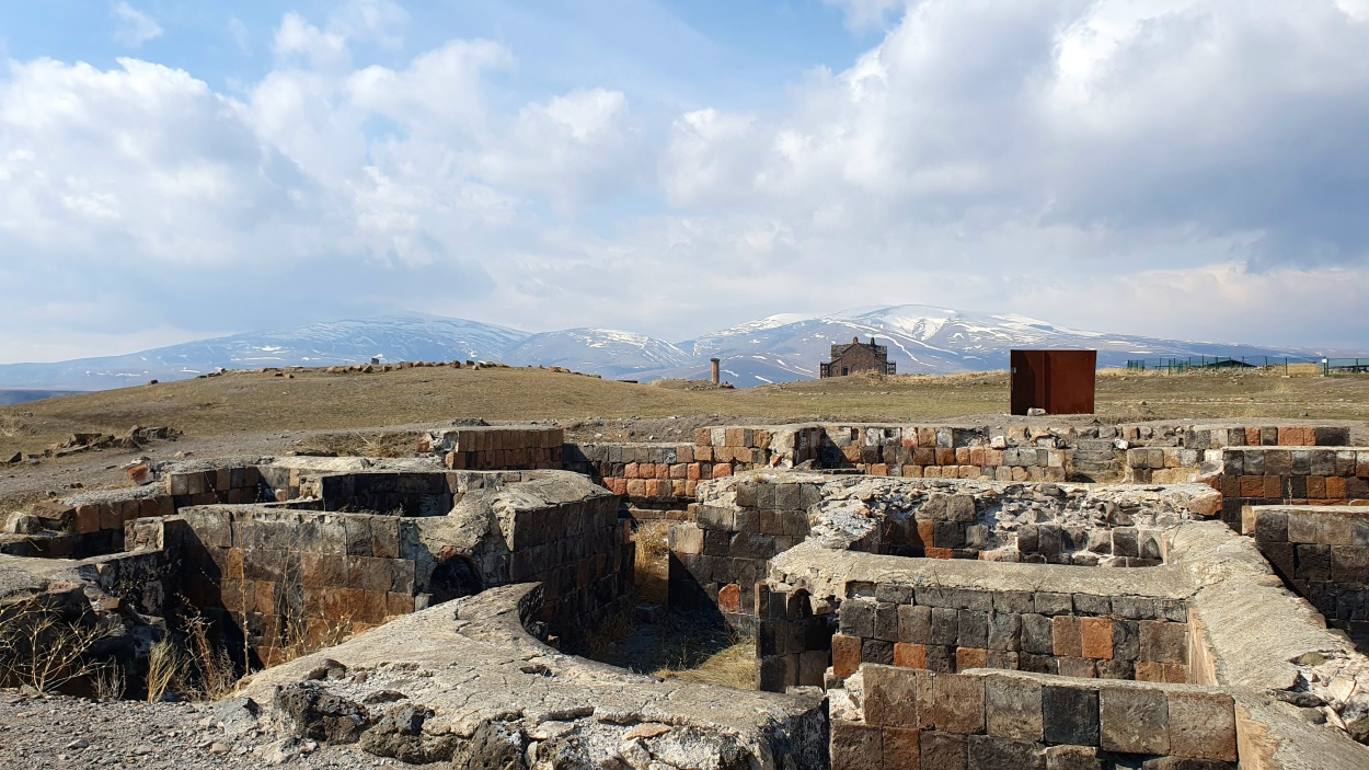
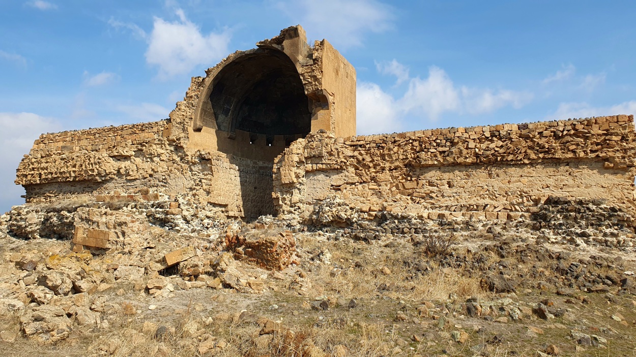
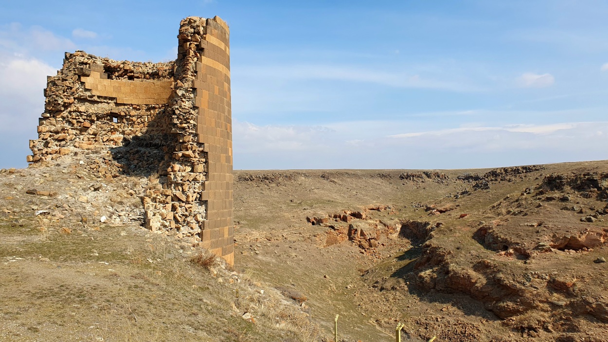
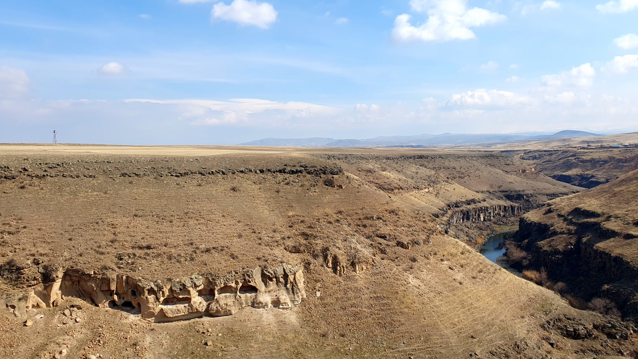
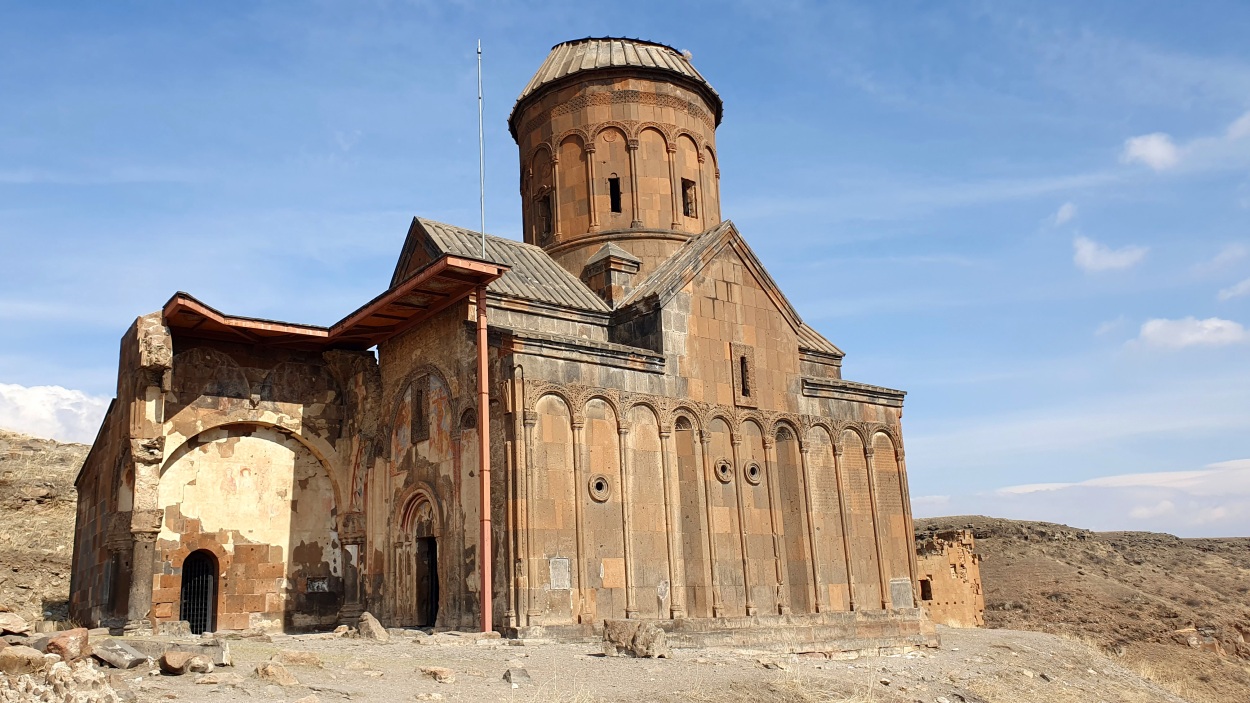
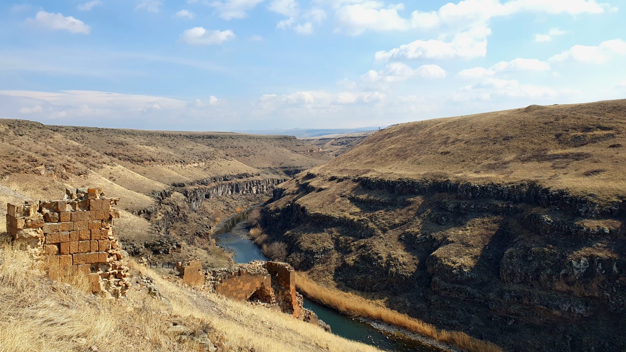
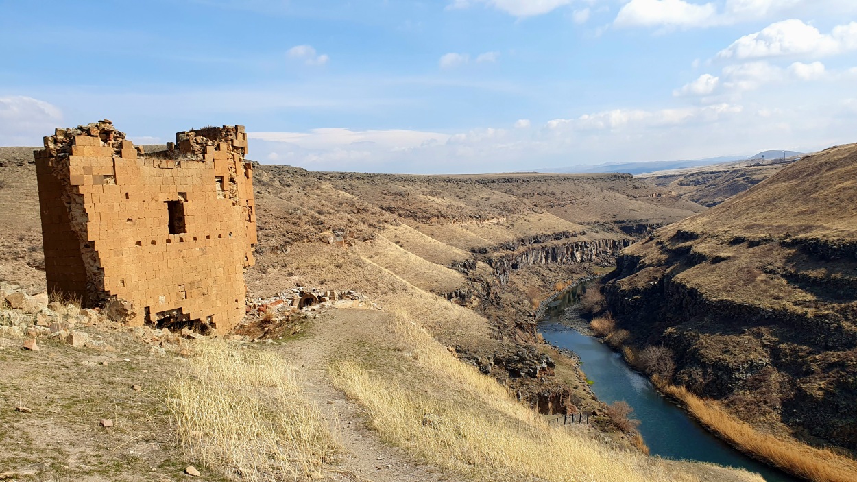
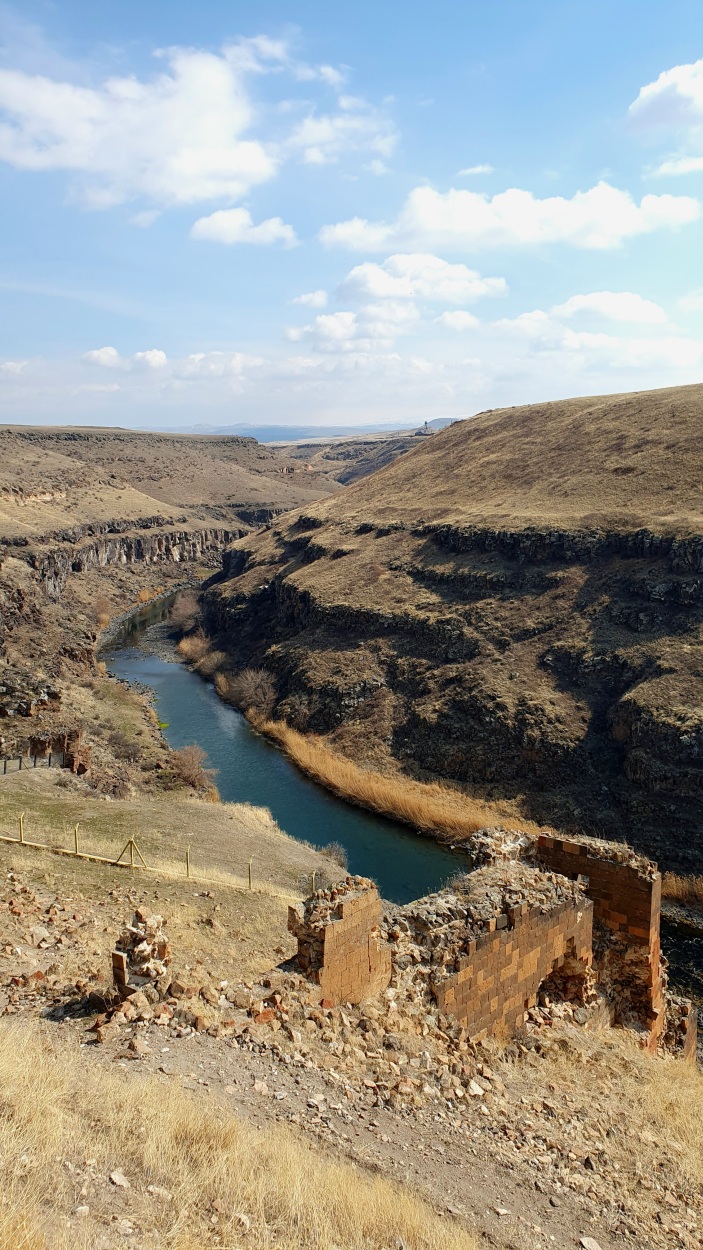
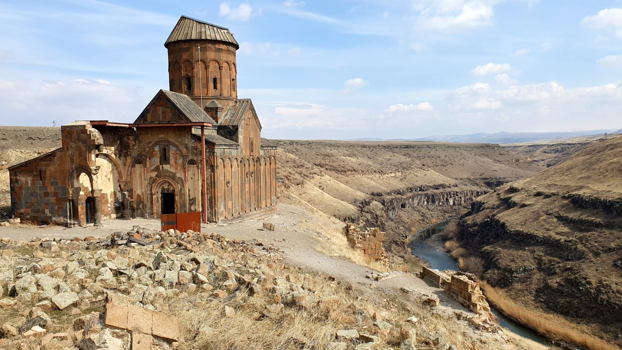
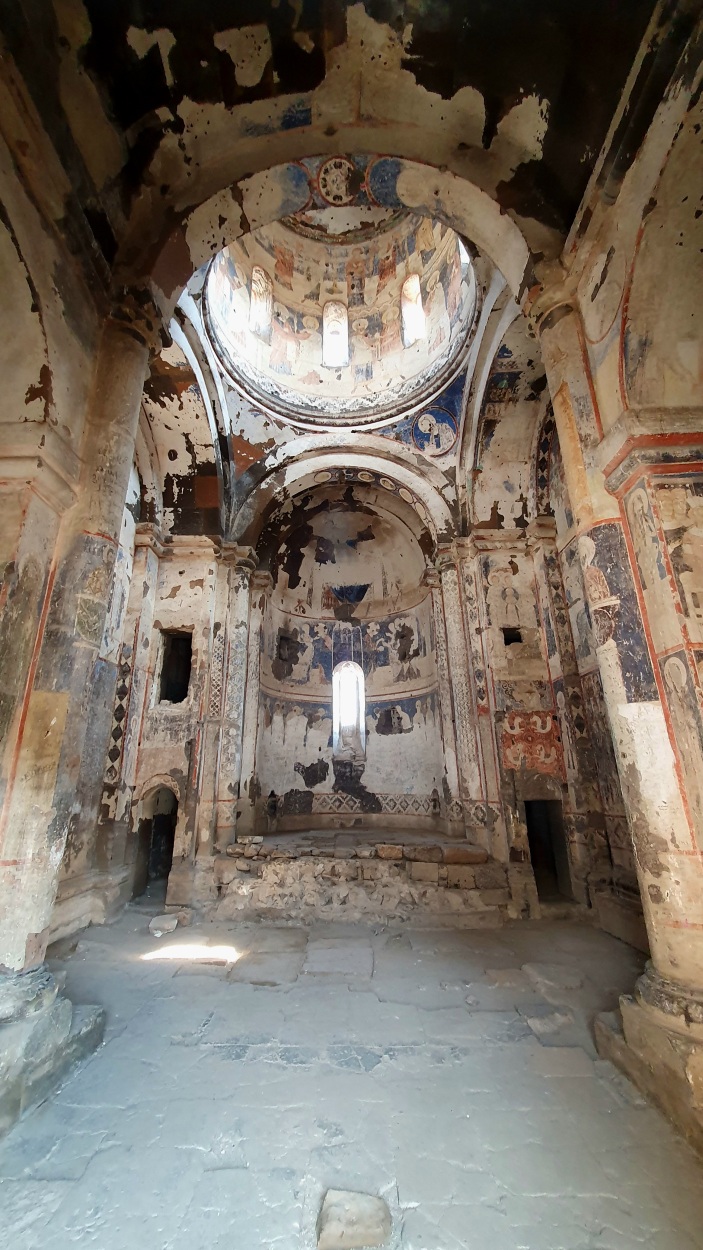
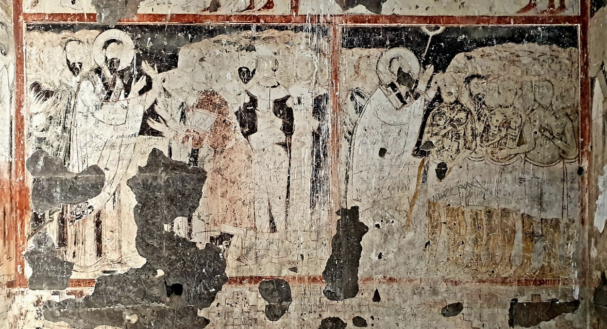
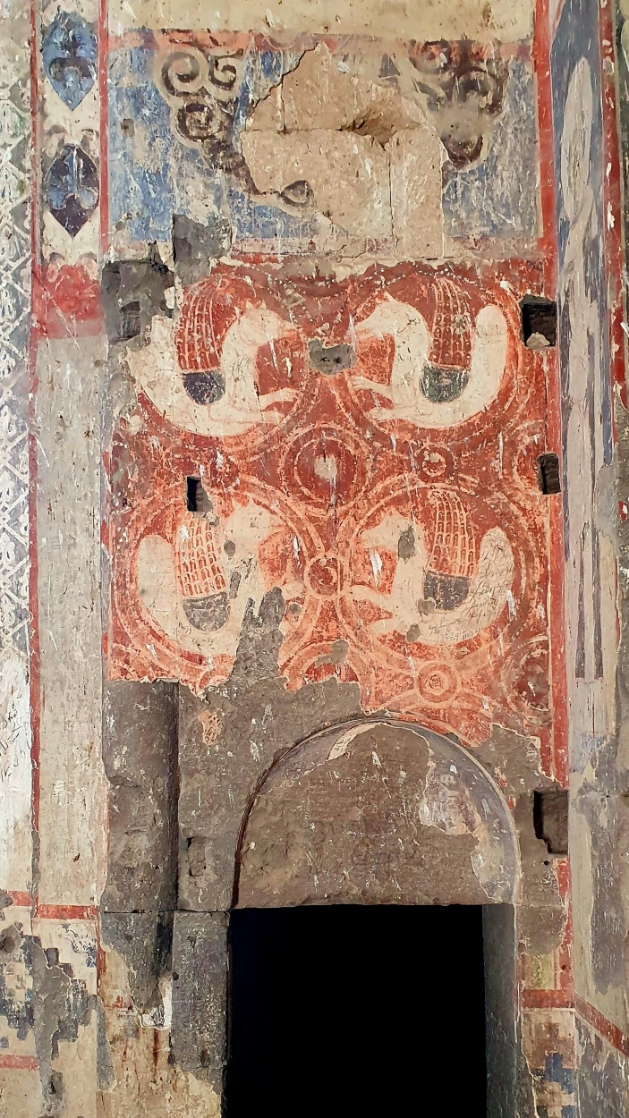
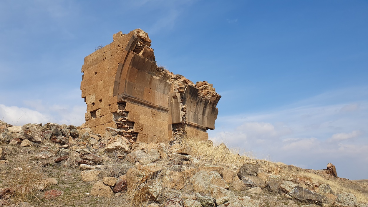
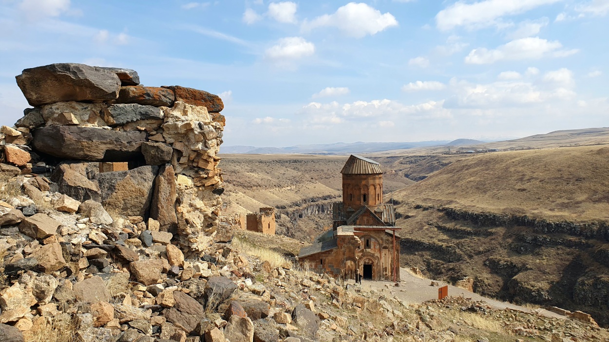
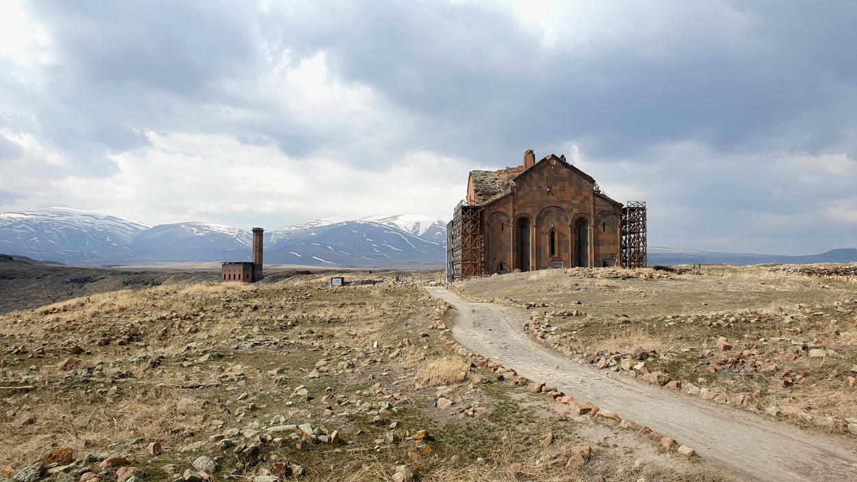
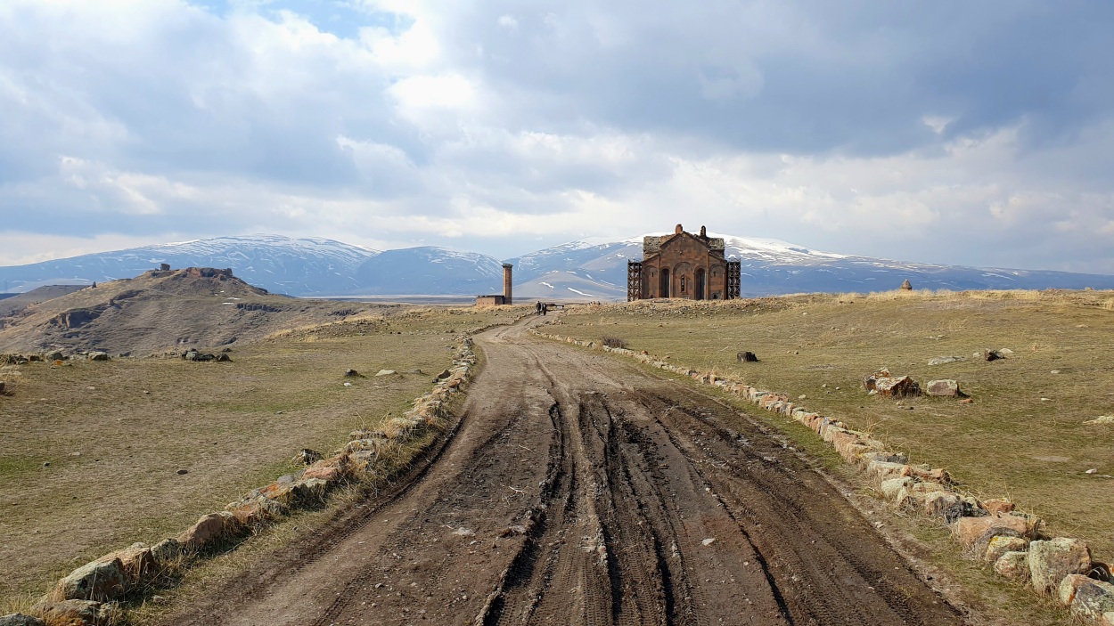
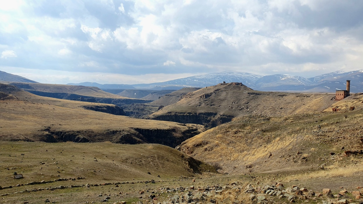
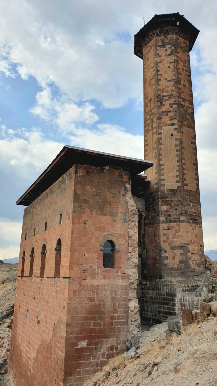
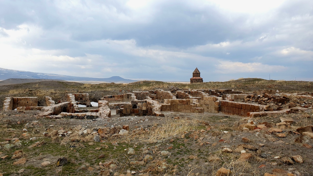
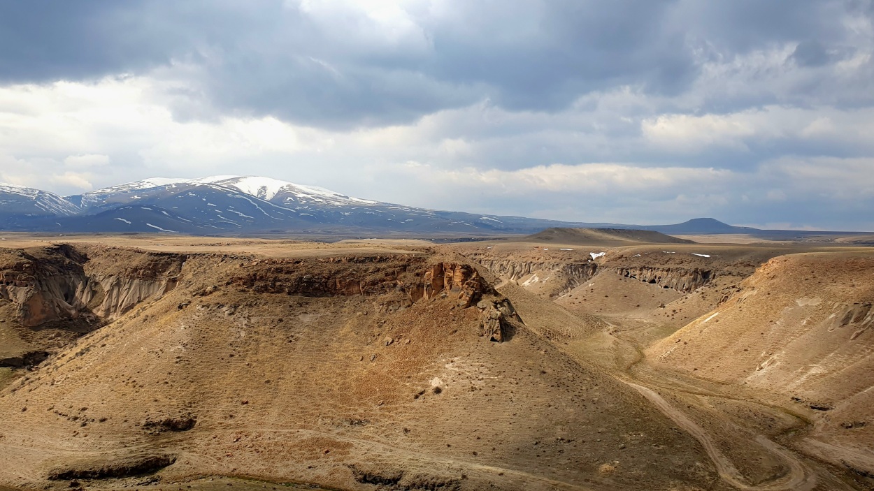
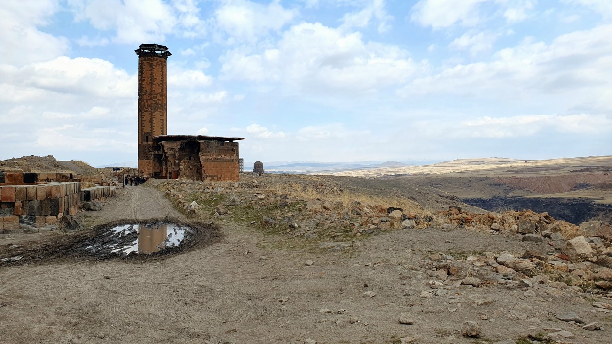
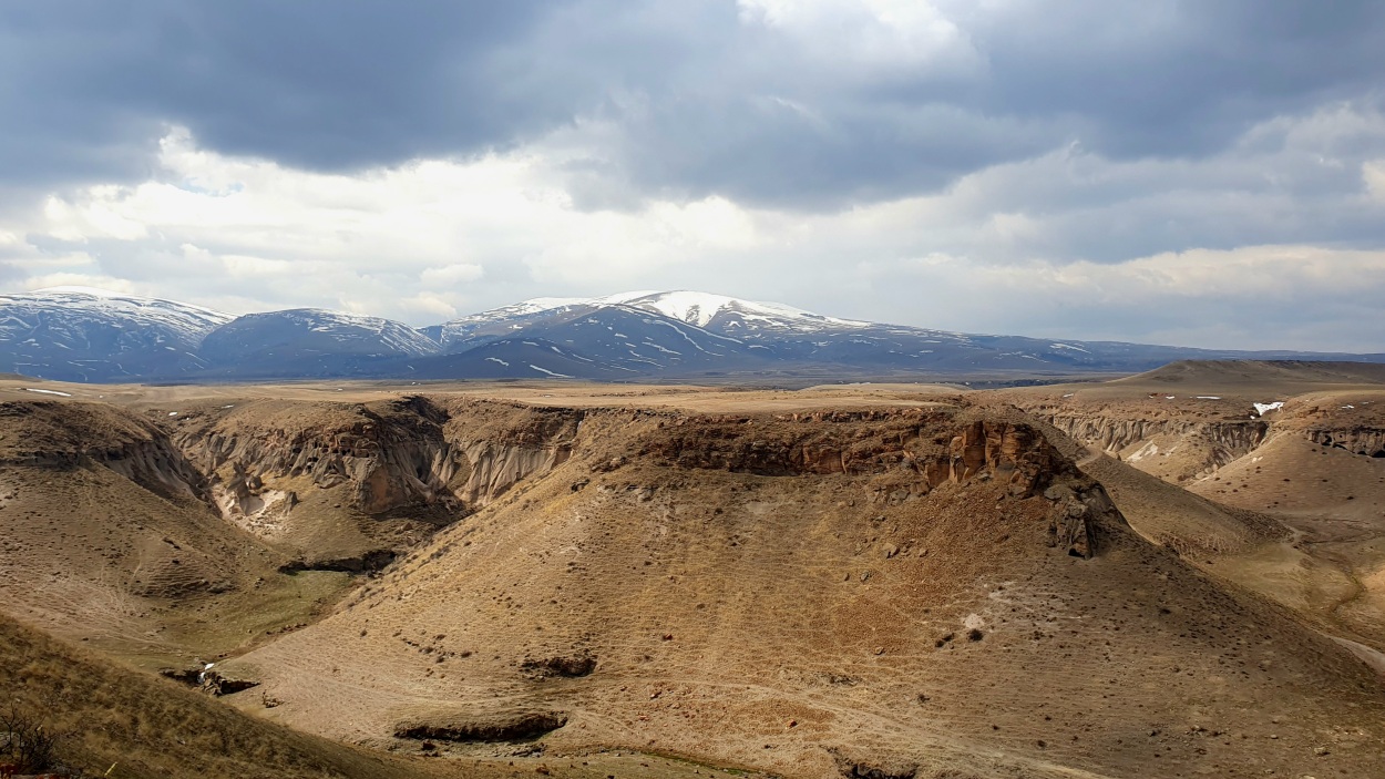
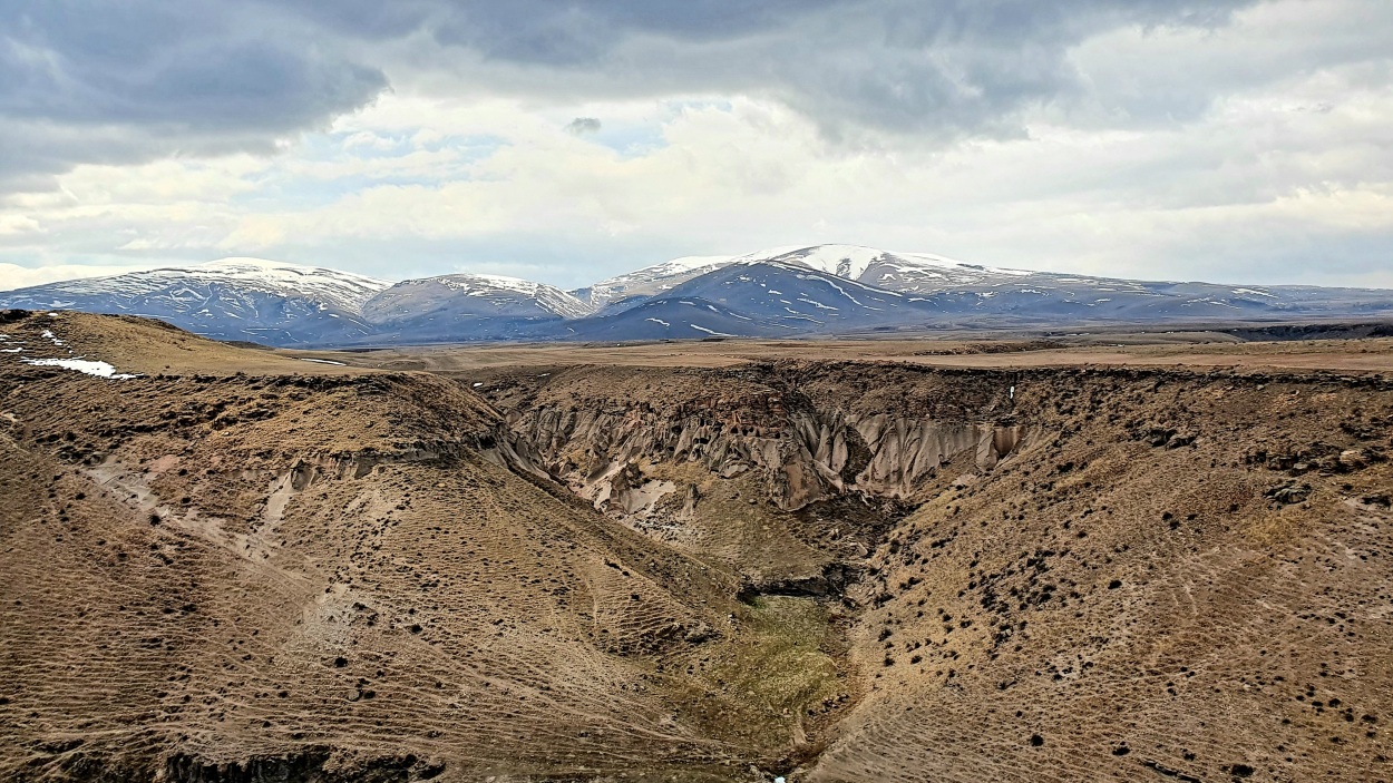
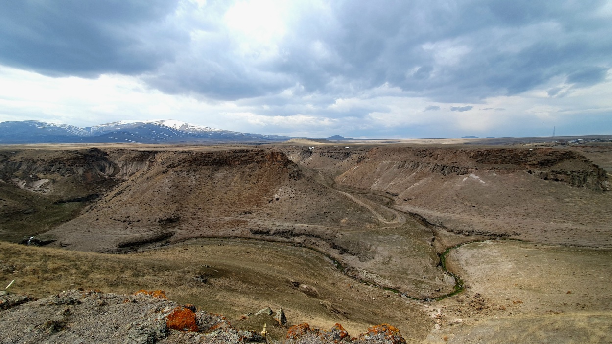
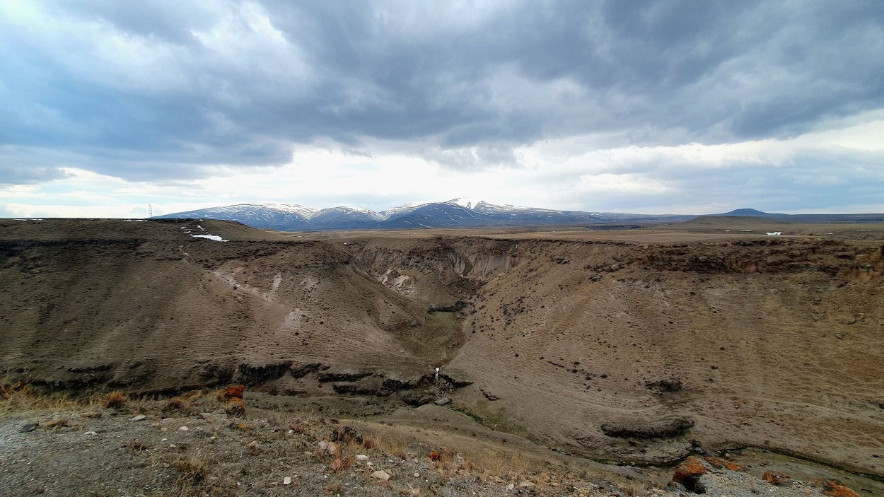
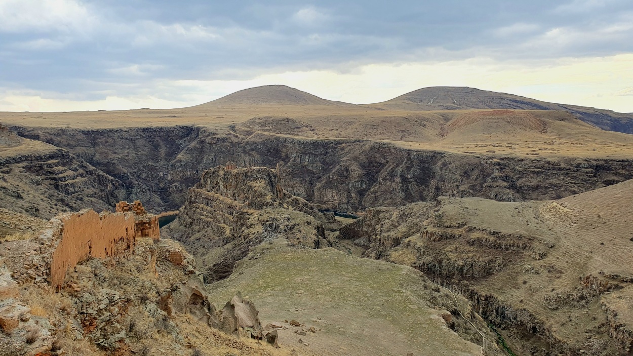
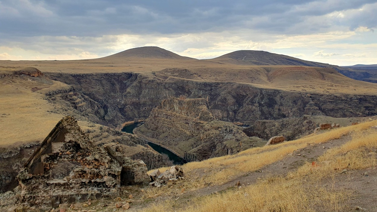
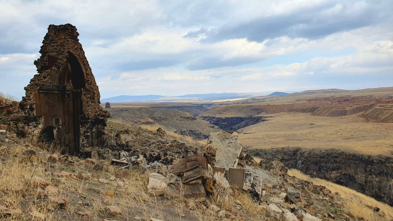
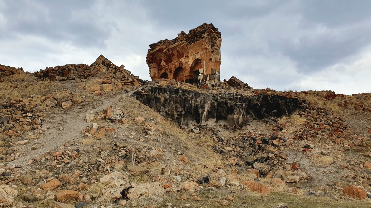
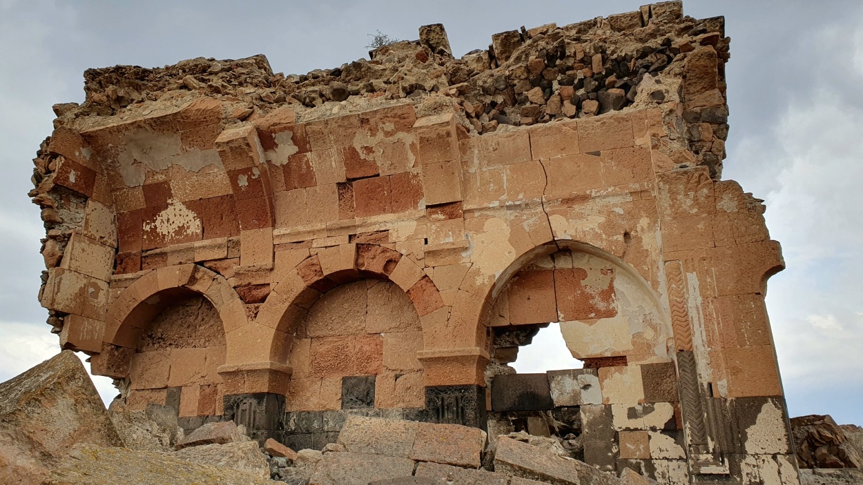
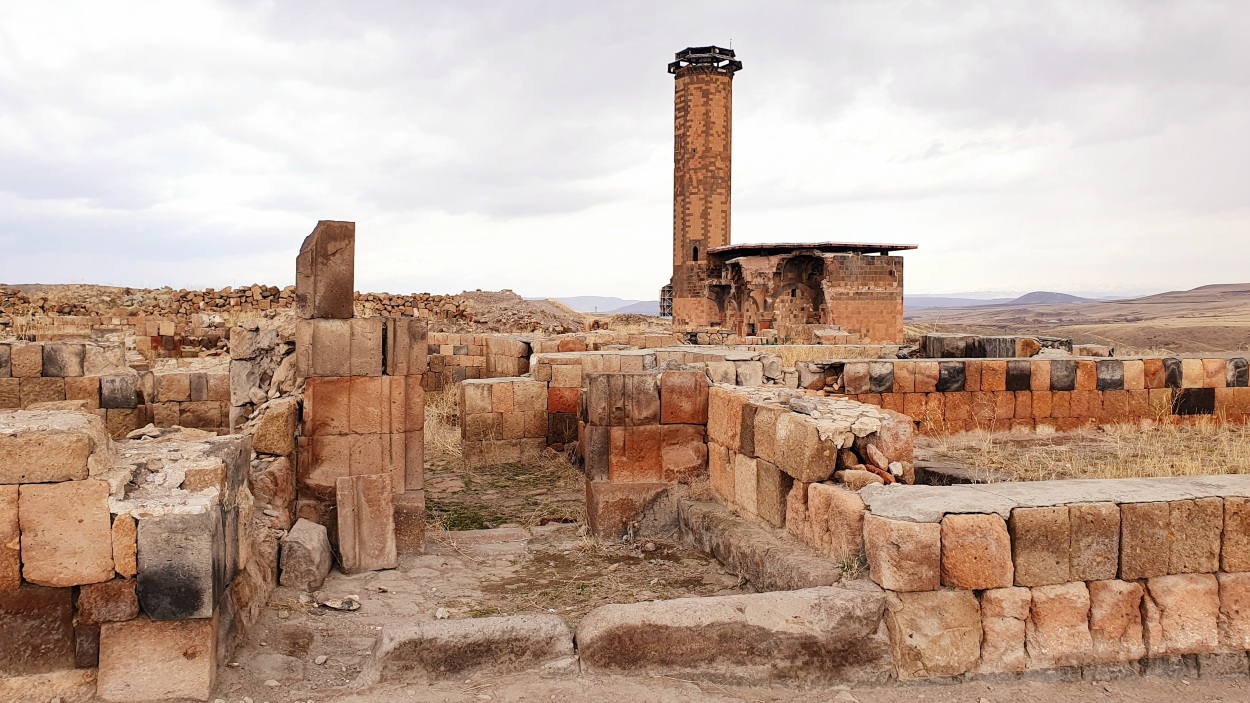
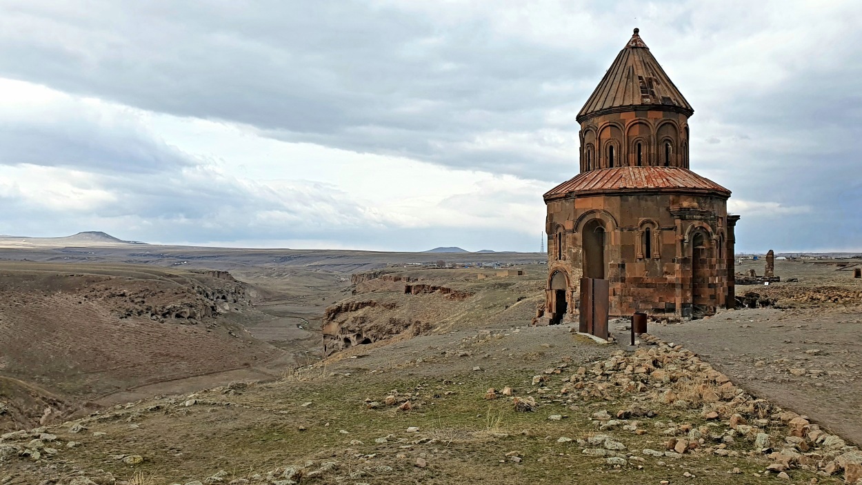
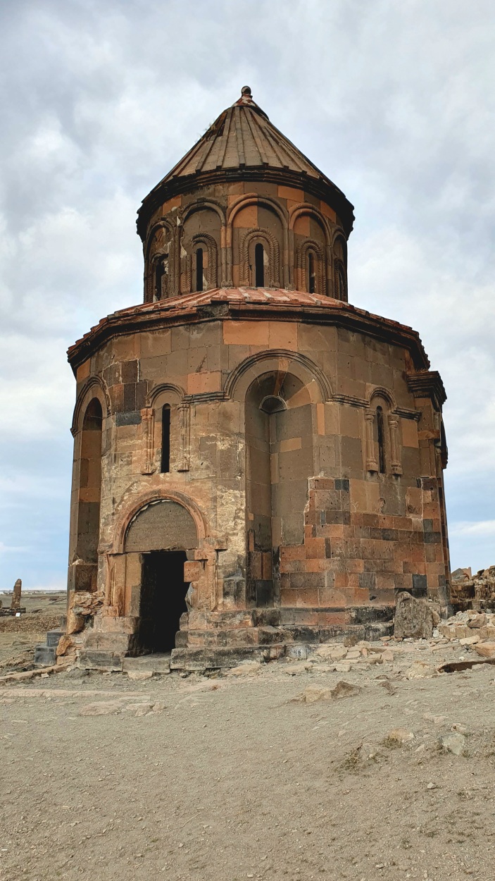
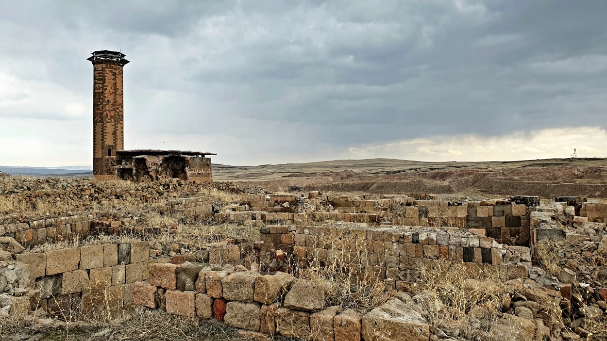
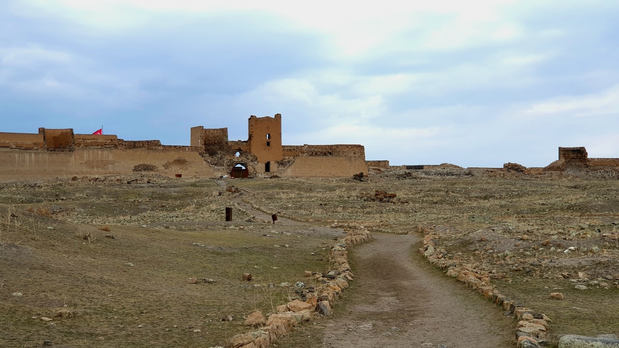
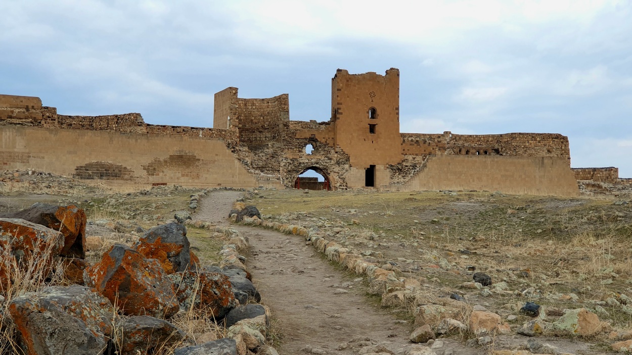
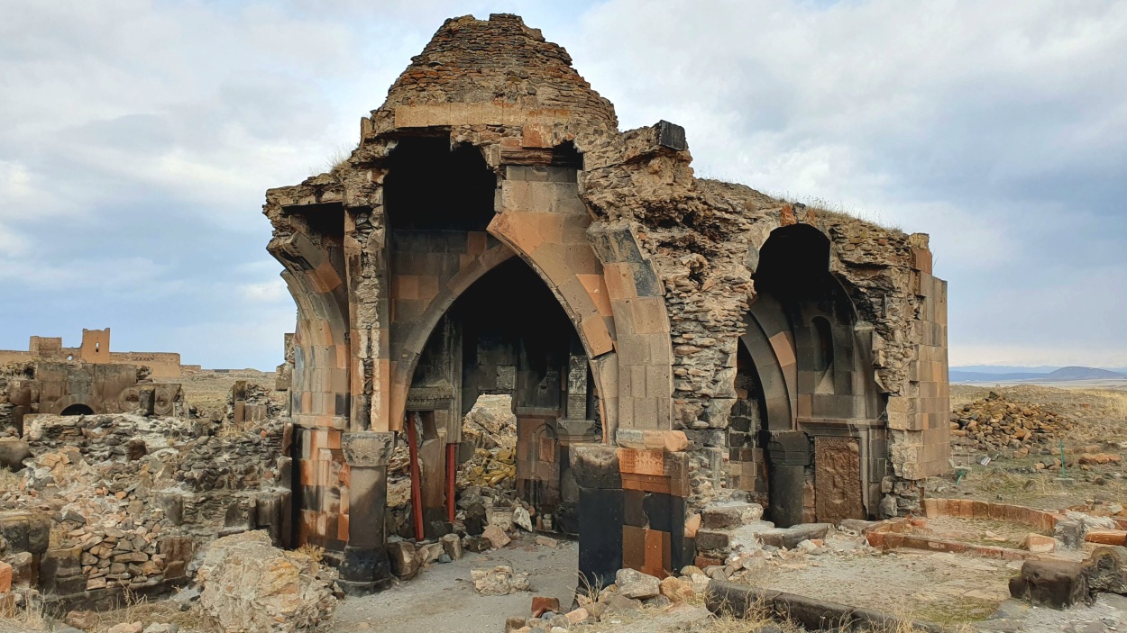
We drove 45km east of Kars to Ani ruins (🎫 50 TRY). We arrived there around 7 PM at large parking near the entrance. To our surprise, nobody was around that time, but to our luck, they left the toilets open. Ani lies east of Kars and along the Arpaçay River, which forms the border with Armenia to the east. Situated along a major east-west caravan route, Ani first rose to prominence in the 5th century AD and had become a flourishing town by the time Ashot III the Merciful (reigned 952–977), the Bagratid king of Armenia, transferred his capital there from Kars in 961. Thus began a golden age for the city, beautified under two subsequent Bagratid rulers. The many churches built during this period included some of the finest examples of medieval architecture. Although the population estimate made in the Middle Ages of about 100,000 in the early 11th century is unreliable, Ani was substantial in its size and magnificence. It remained the chief city of Armenia until Mongol raids in the 13th century, a devastating earthquake in 1319, and shifting trade routes sent it into an irreparable decline. Eventually, the site was abandoned. The surviving churches and the remnants of the city walls attest to the extraordinary quality of Armenian stonework during the Middle Ages. The modern Turkish village of Ocaklı is nearby. We entered the site through gigantic fortress walls that looked like they fell off a crusader castle. Beyond lie the sparsely scattered wrecks of great stone buildings adrift on a sea of undulating grass, landmarks of a ghost city.


Parking location – Ani: 40.514095N 43.573425E (🚻)