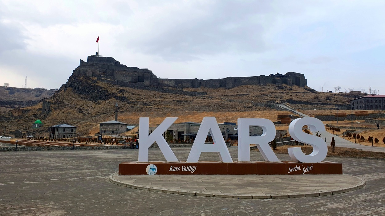
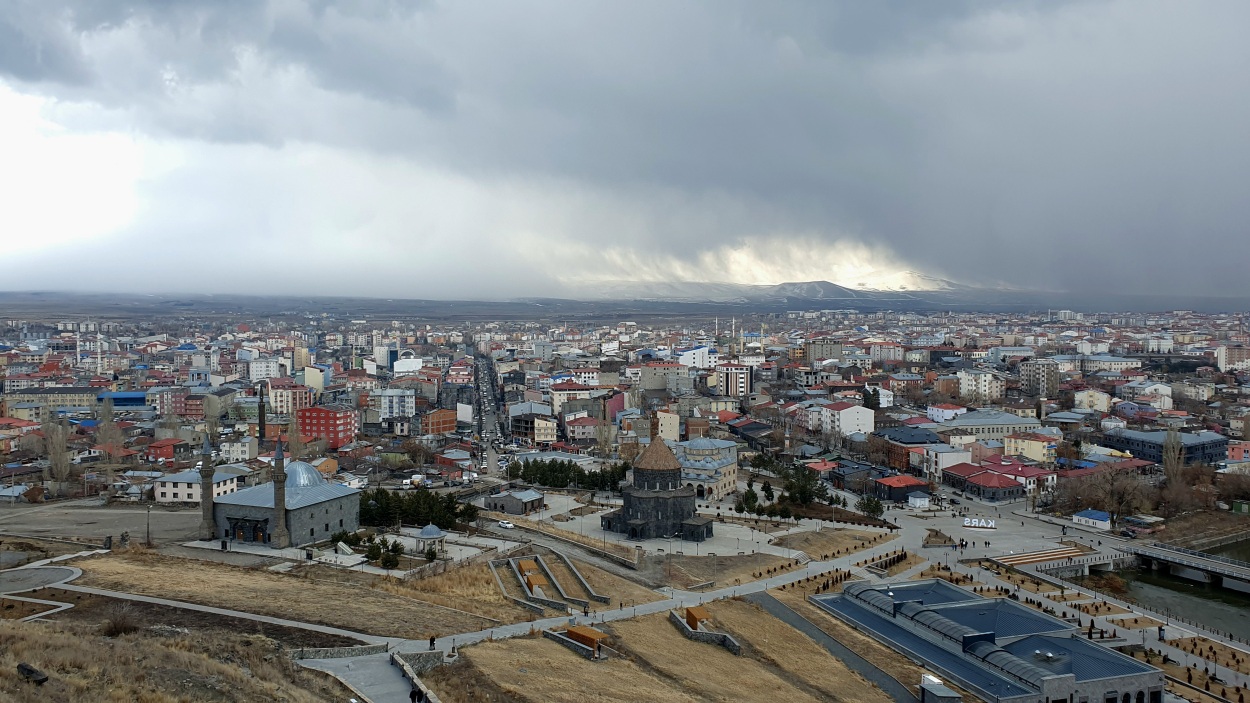
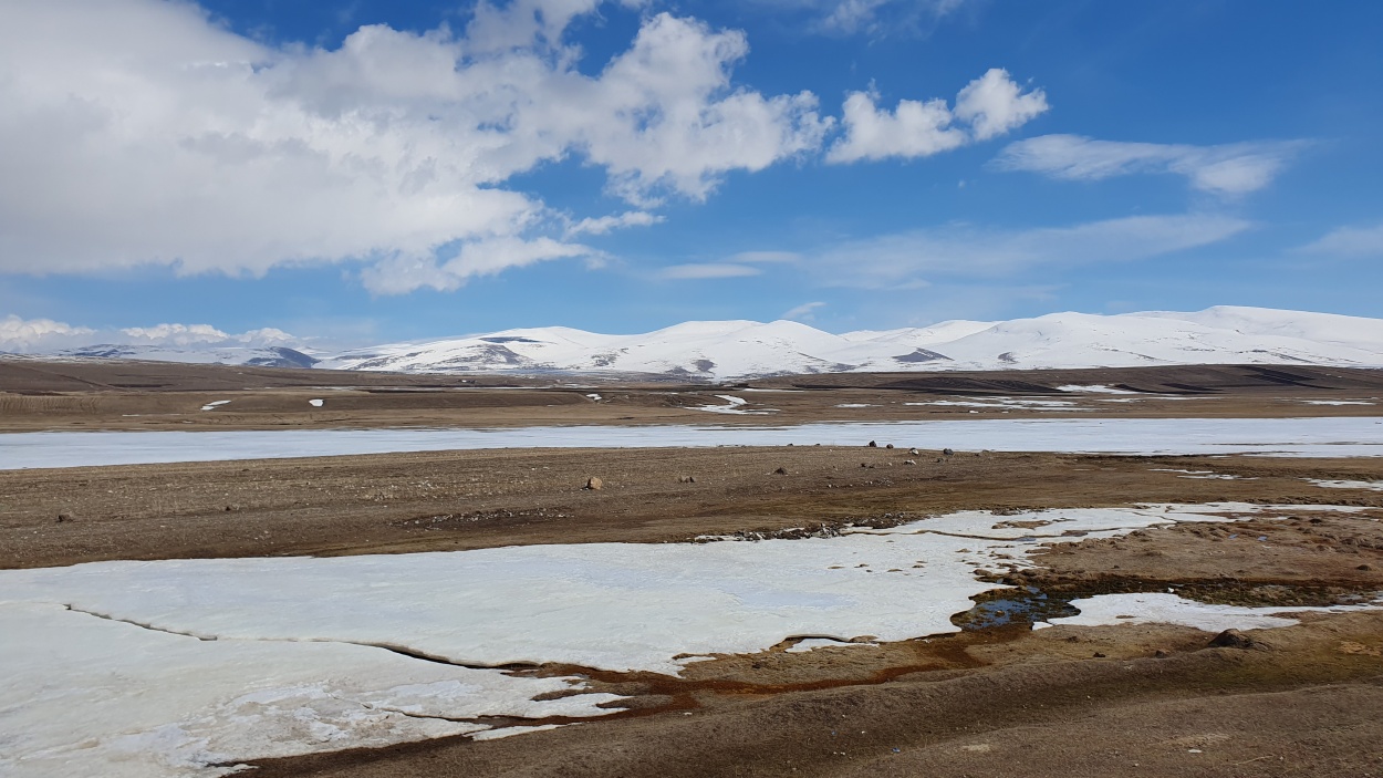
Our first stop on our second trip through Turkey was Kars, a city in northeastern Turkey situated on a plateau 1750 meters above sea level on the Kars River, close to the border with Armenia. The city, divided into an older upper section and a newer part to the south, stretches out on either side of the Kars River. The two areas of the city are linked by an ancient bridge built by the Seljuq Turks. The town was the seat of an independent Armenian principality during the 9th and 10th centuries. The Seljuqs captured Kars in the 11th century. Taken by the Mongols in the 13th century and by Timur (Tamerlane) in 1387, it was incorporated into the Ottoman Empire in 1514. After withstanding a siege by Iranians in 1731 and successfully resisting the Russians in 1807, it fell to the Russians in 1828 and 1855 and was formally annexed by Russia in 1877–78. It was returned to Turkey in 1918, though the Soviet Union later (1945–47) tried unsuccessfully to reclaim it as part of the Armenian Soviet Socialist Republic. The city’s mix of influences – Kurdish, Azeri, Turkmen, Turkish, and Russian – adds to its distinct feel.
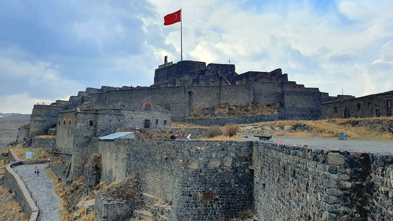
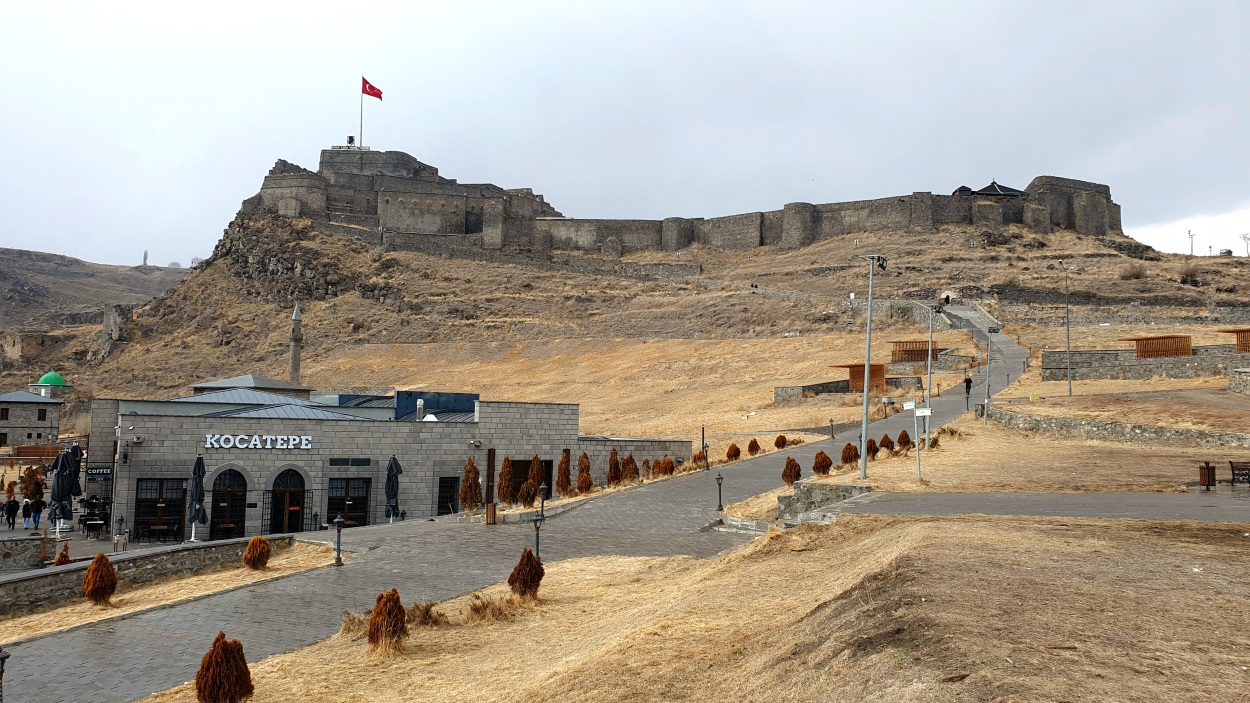
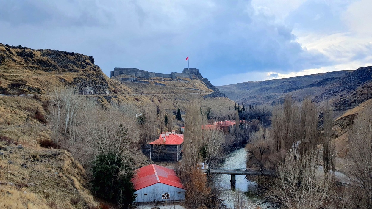
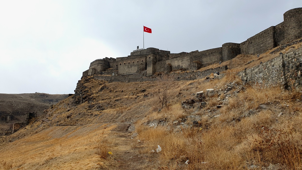
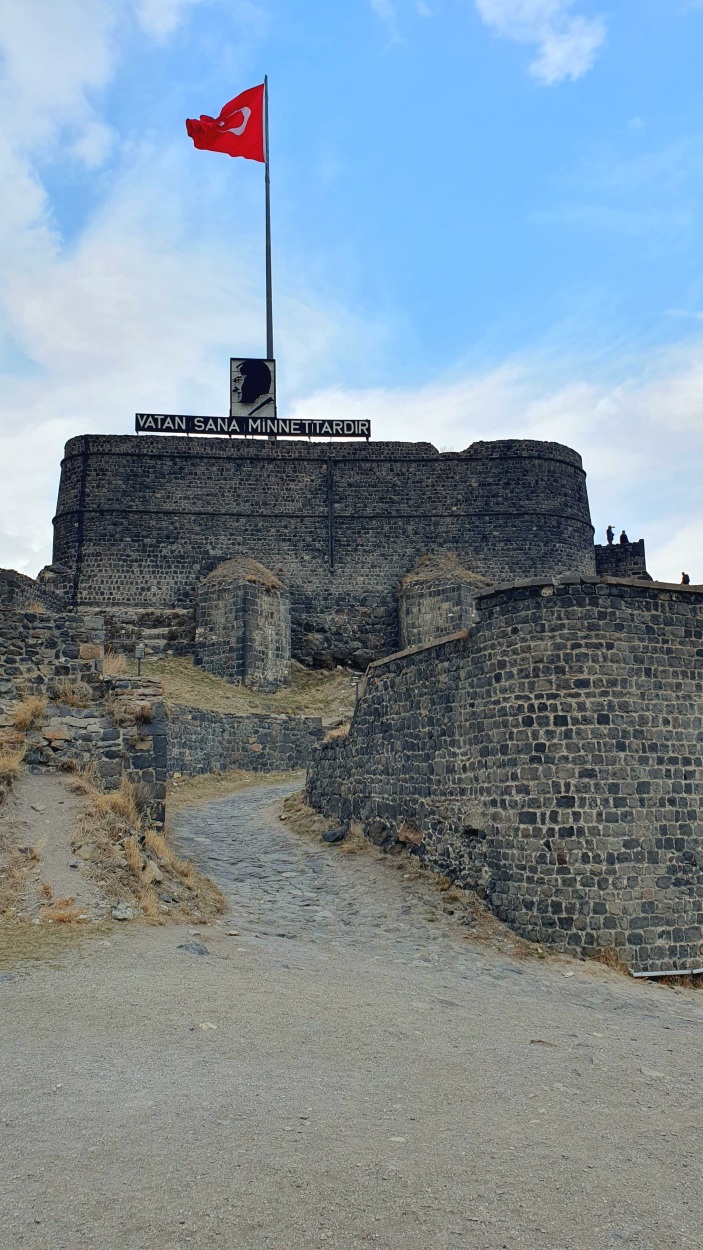
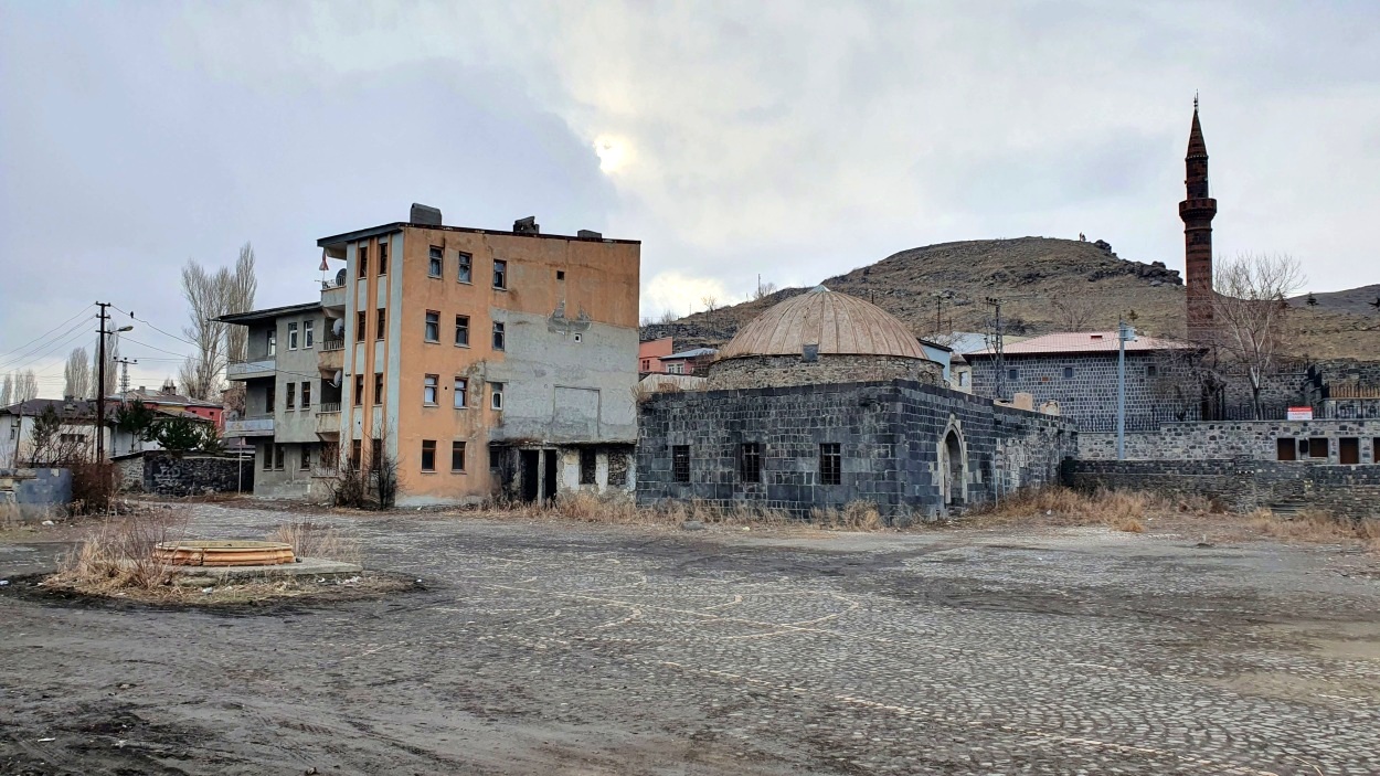
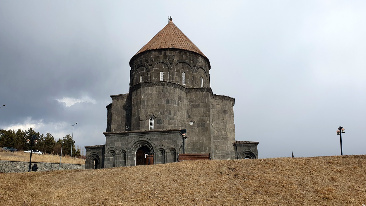
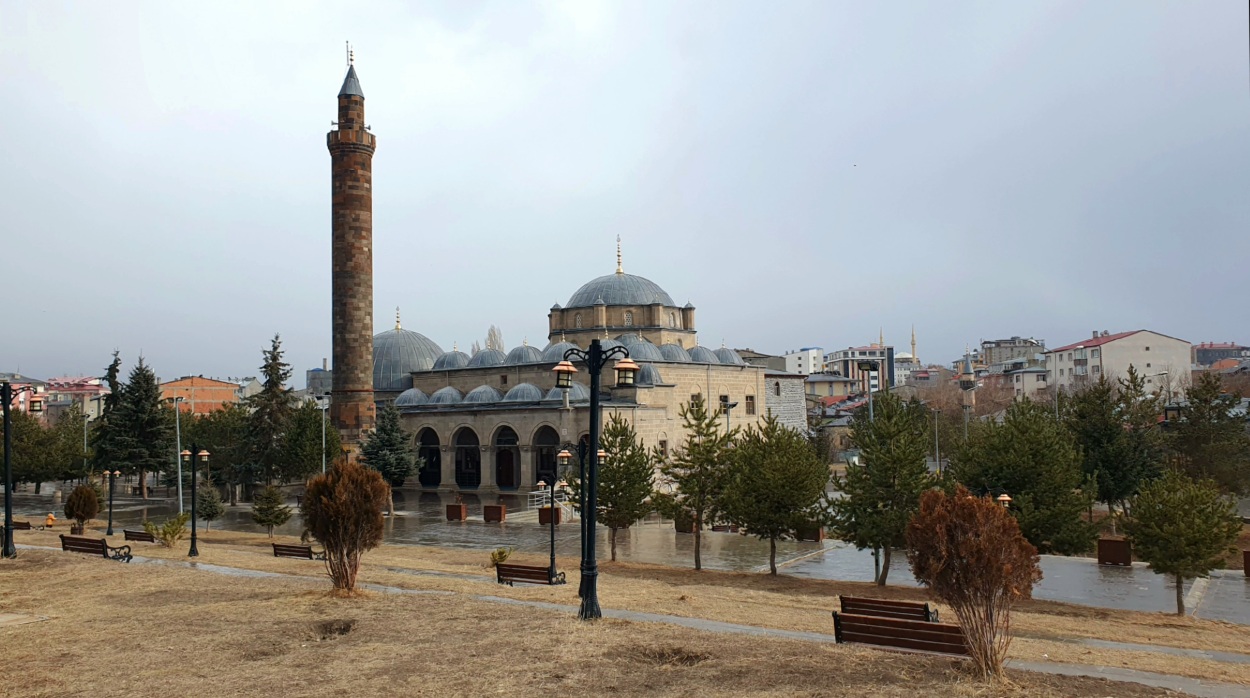
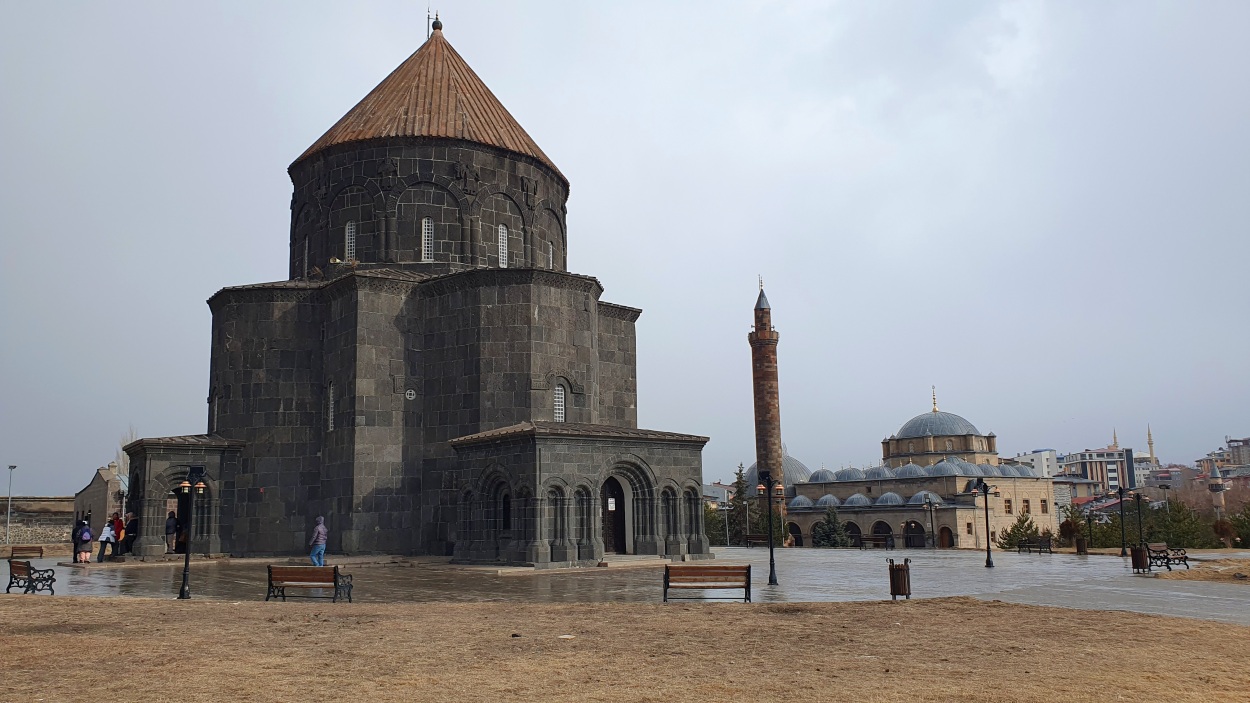
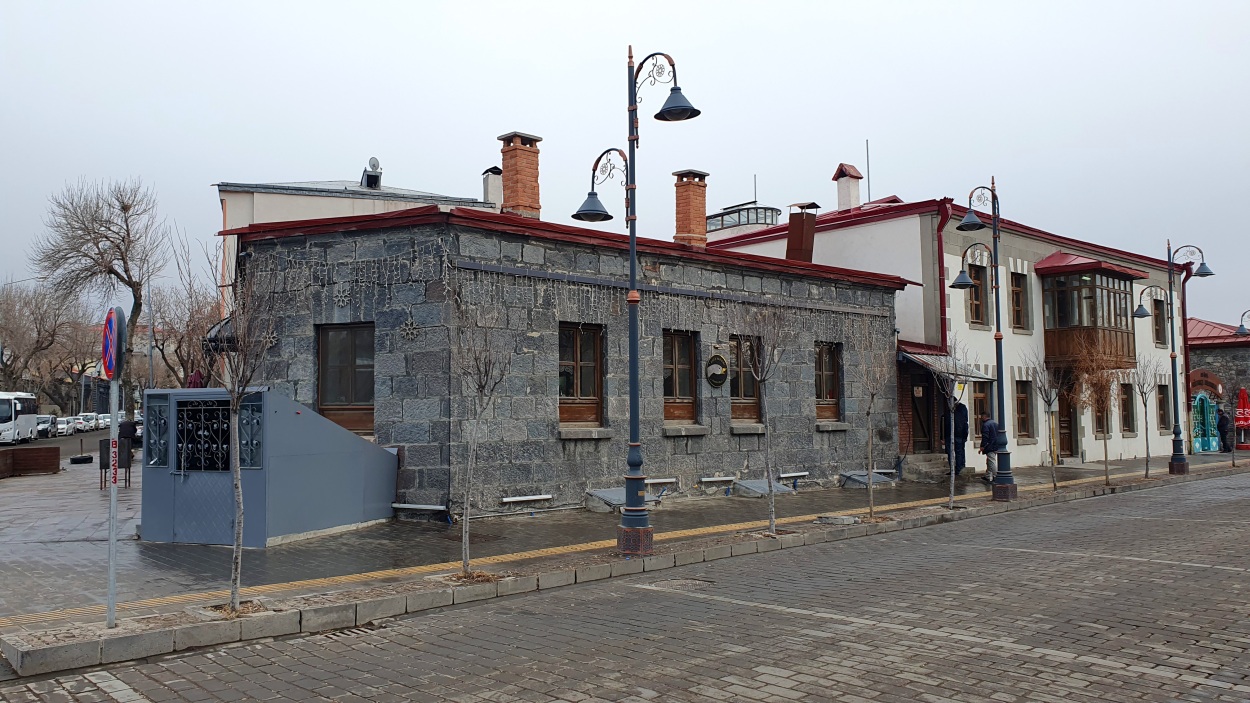
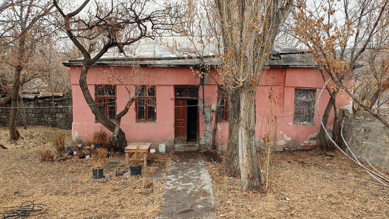
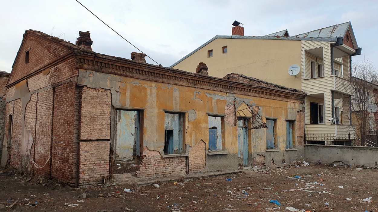
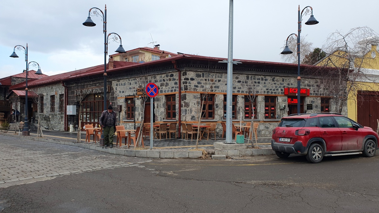
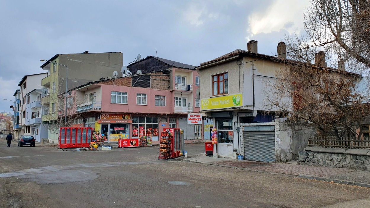
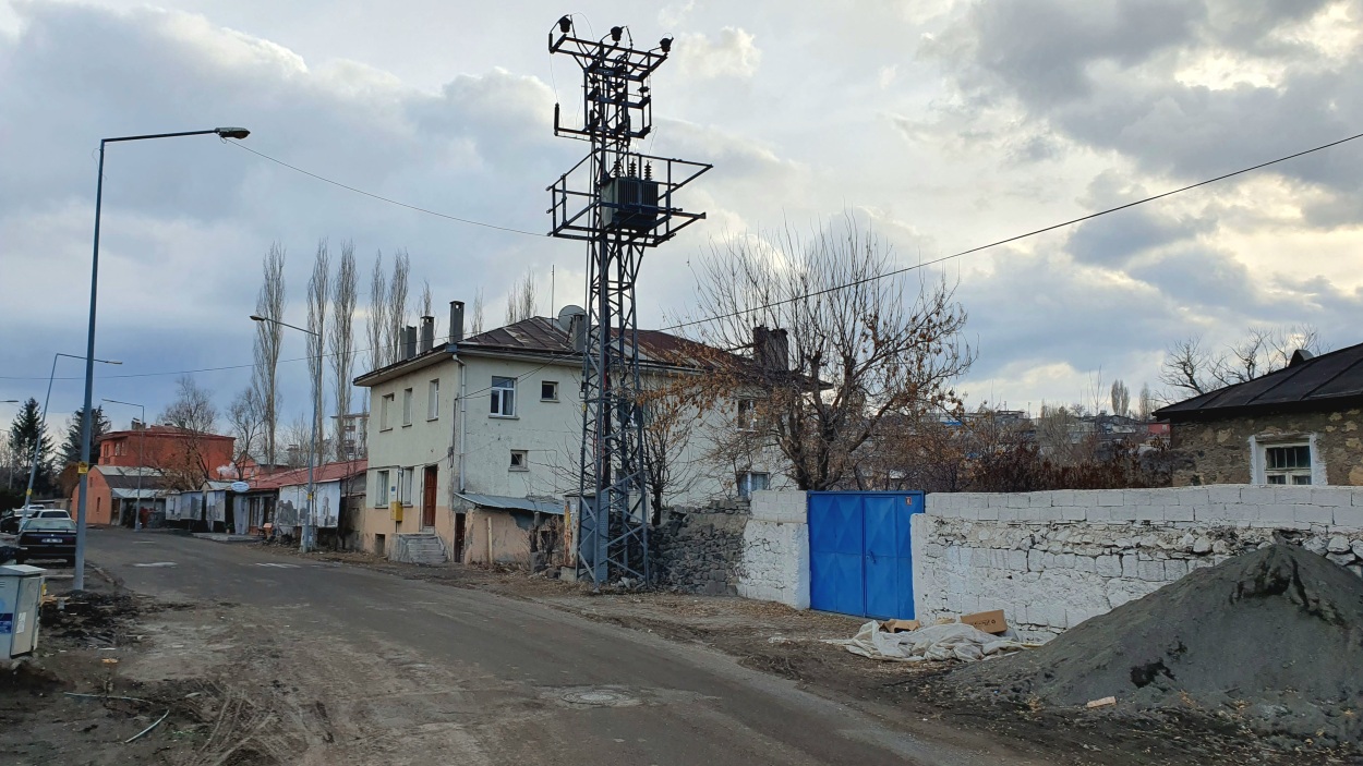
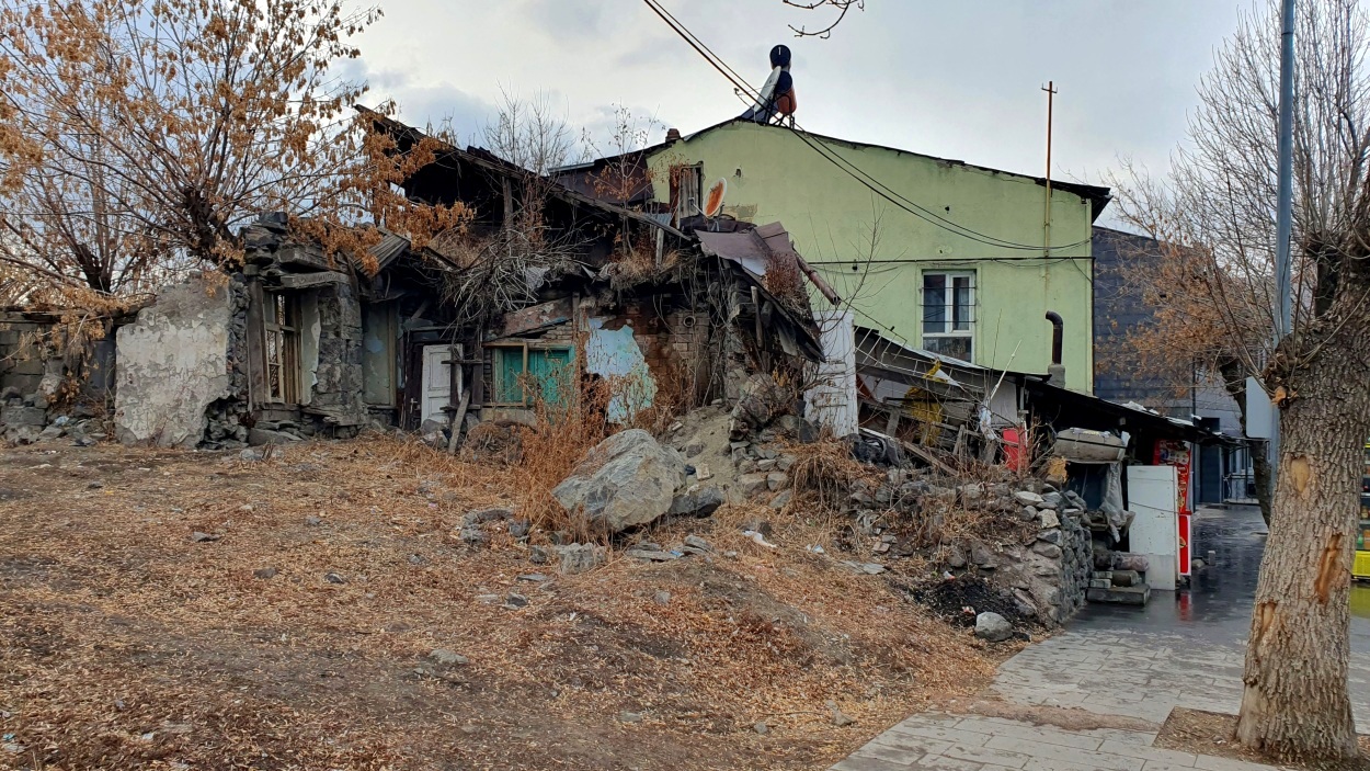
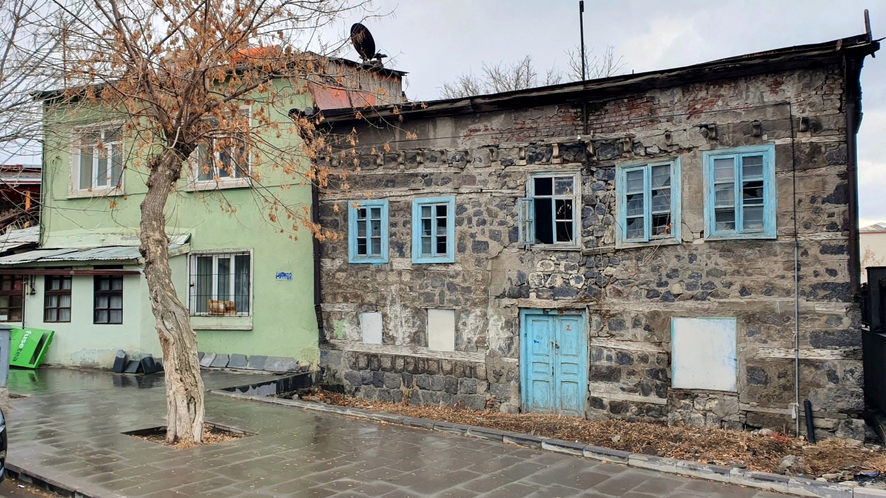
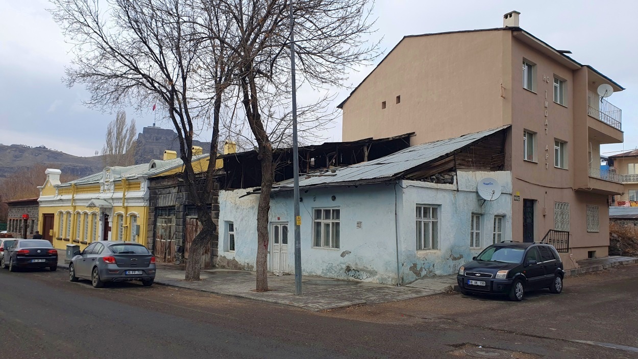
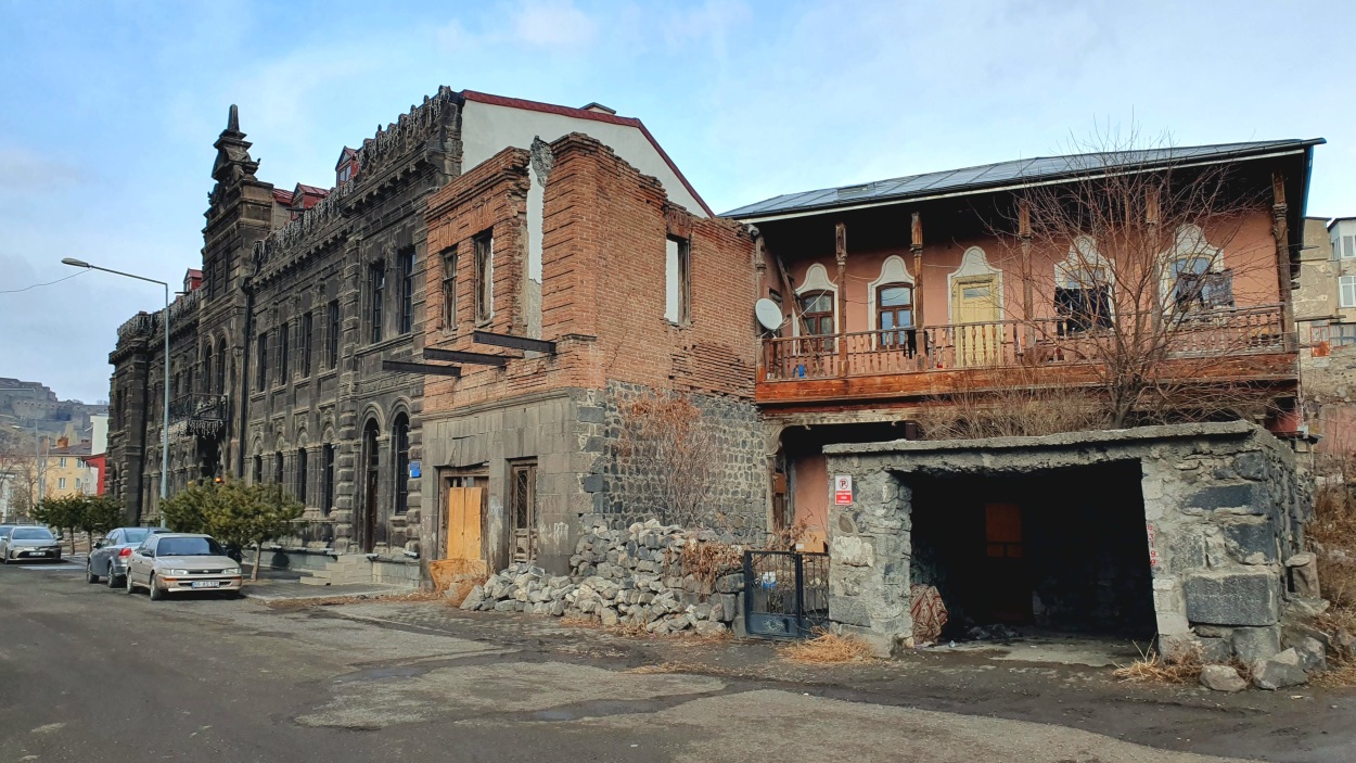
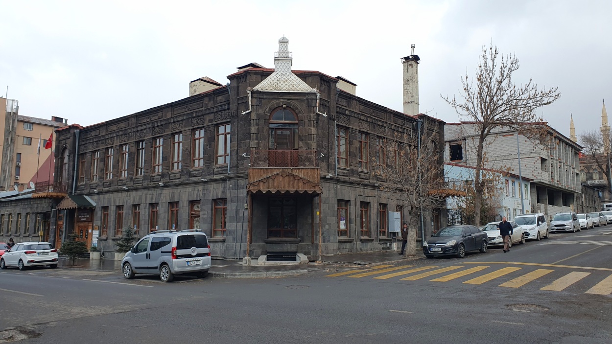
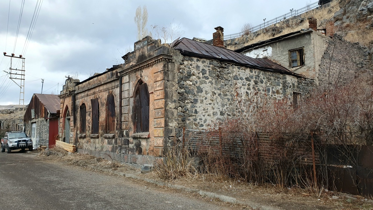
We took a taxi for 70 TRY to the Kars Castle, built in 1153 over the craggy ridge that dominates the city center’s northern edge, fronted by a series of historic mosques. We enjoyed the view and then walked down around hefty, dark-stone walls to see Kümbet Camii (“Church of the Apostles”), an Armenian church that was converted into a mosque, a bath dating from the Ottoman period, and an old citadel overhanging the river that was once a solid military post (probably late 16th century). Then we wandered in cold rainy weather around ruined pastel-colored stone buildings dating from the 19th-century Russian occupation back to our truck.