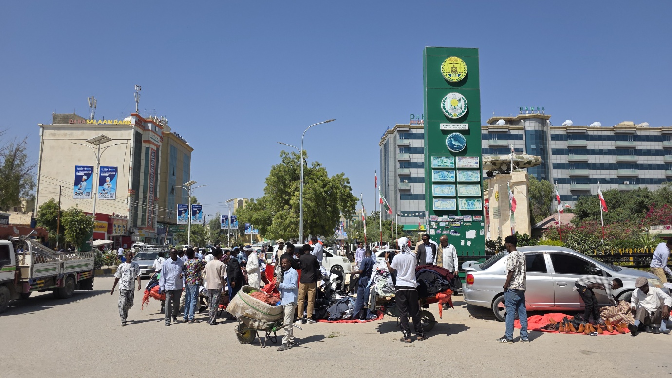
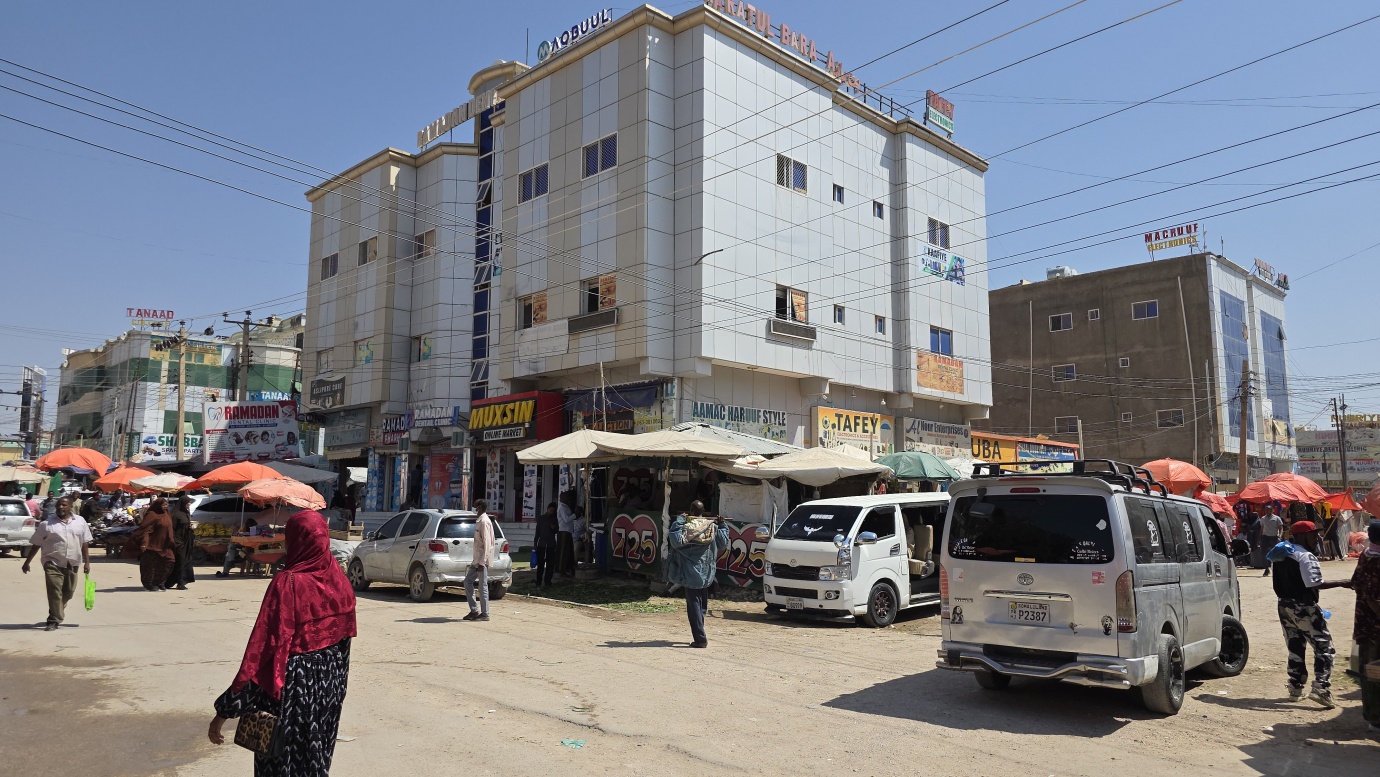
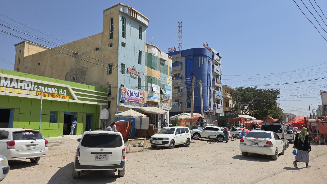
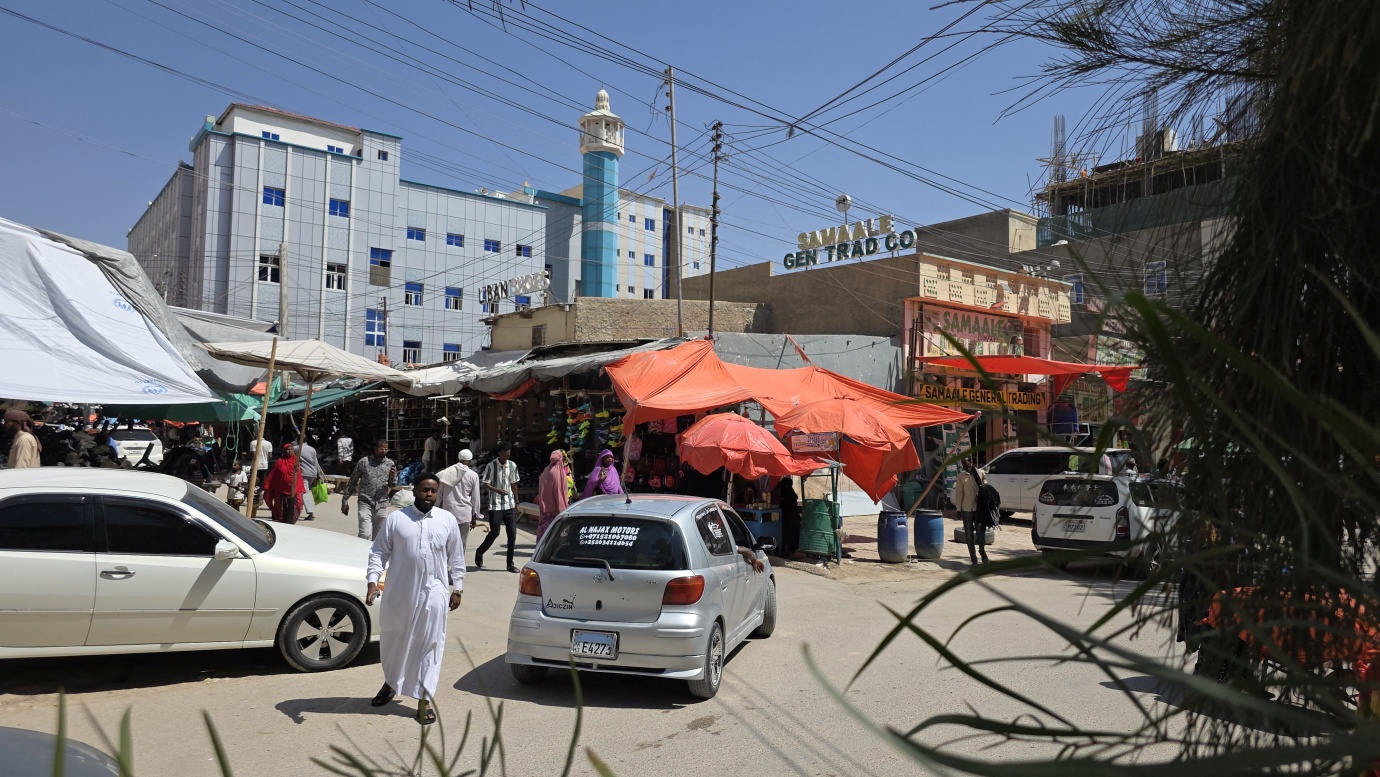
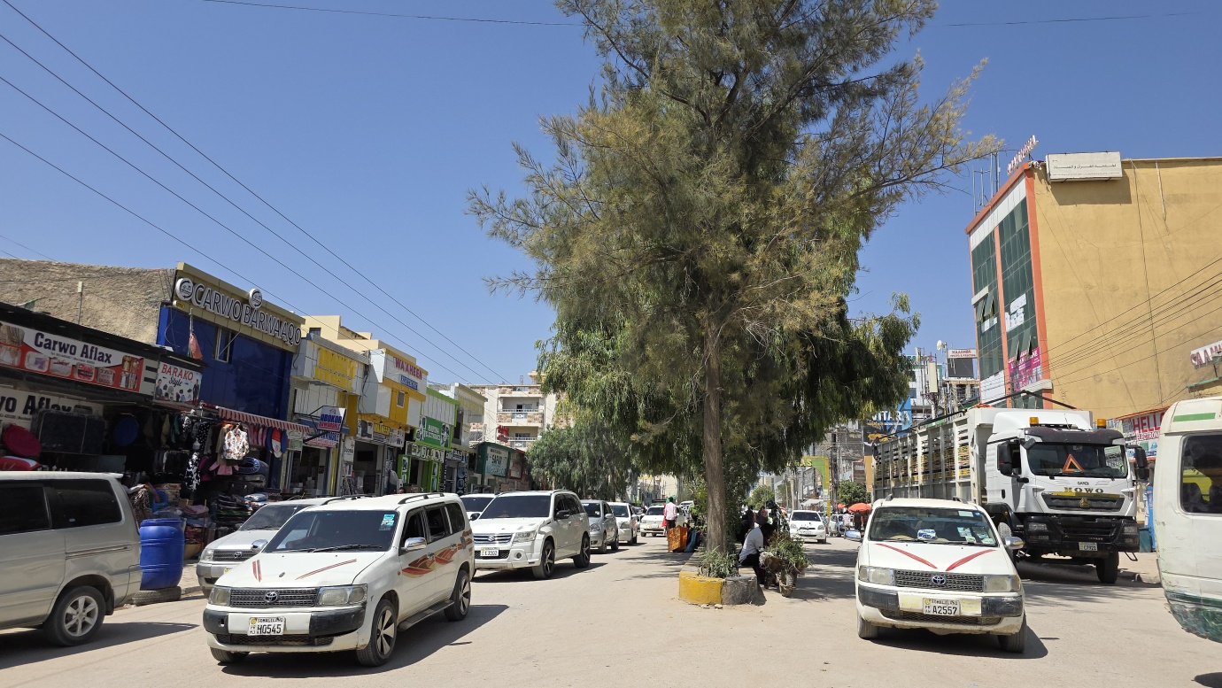
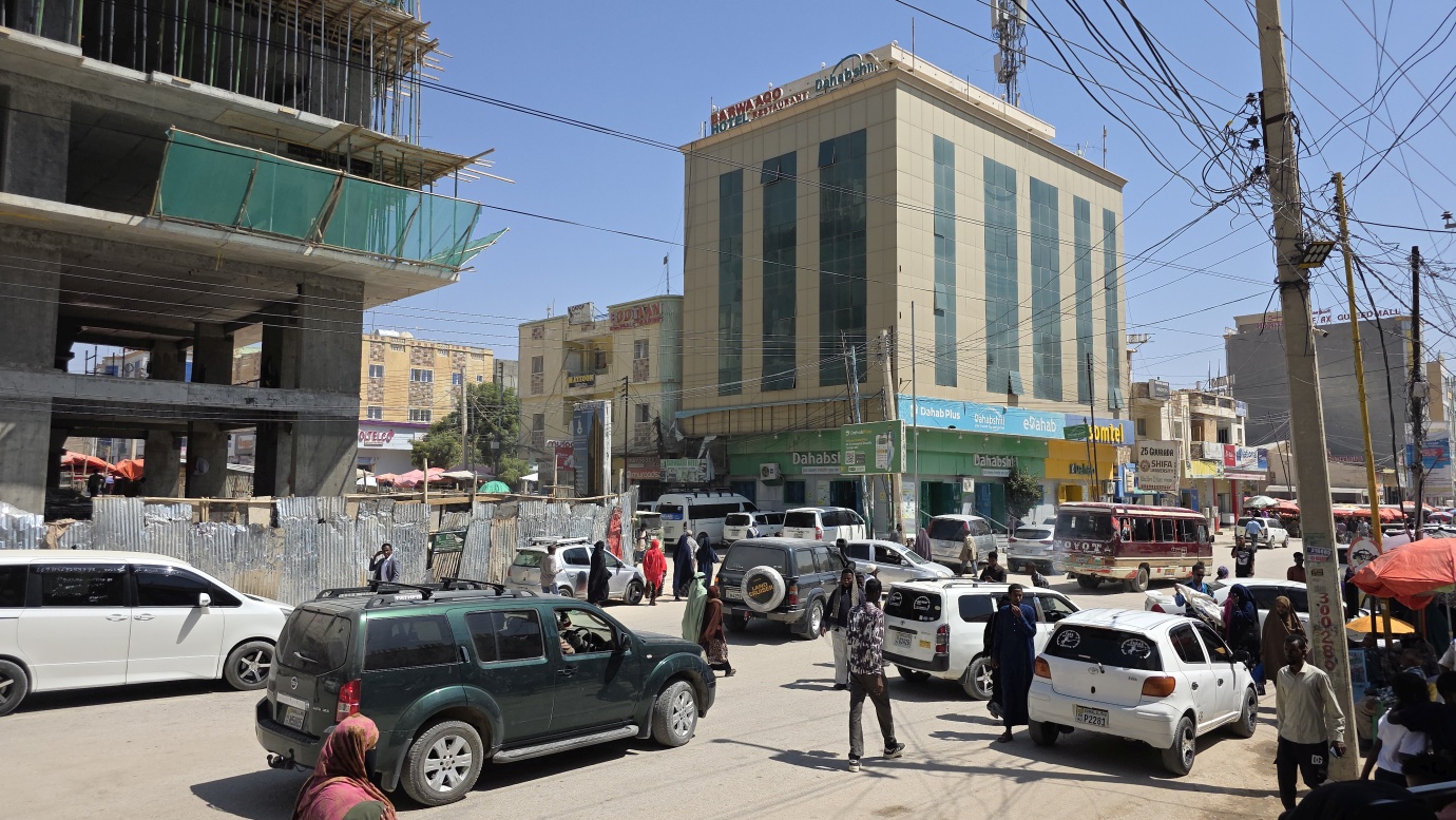
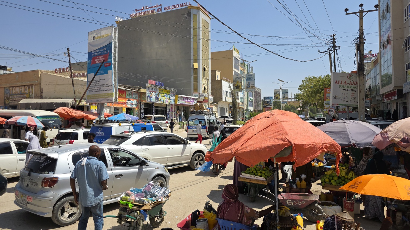
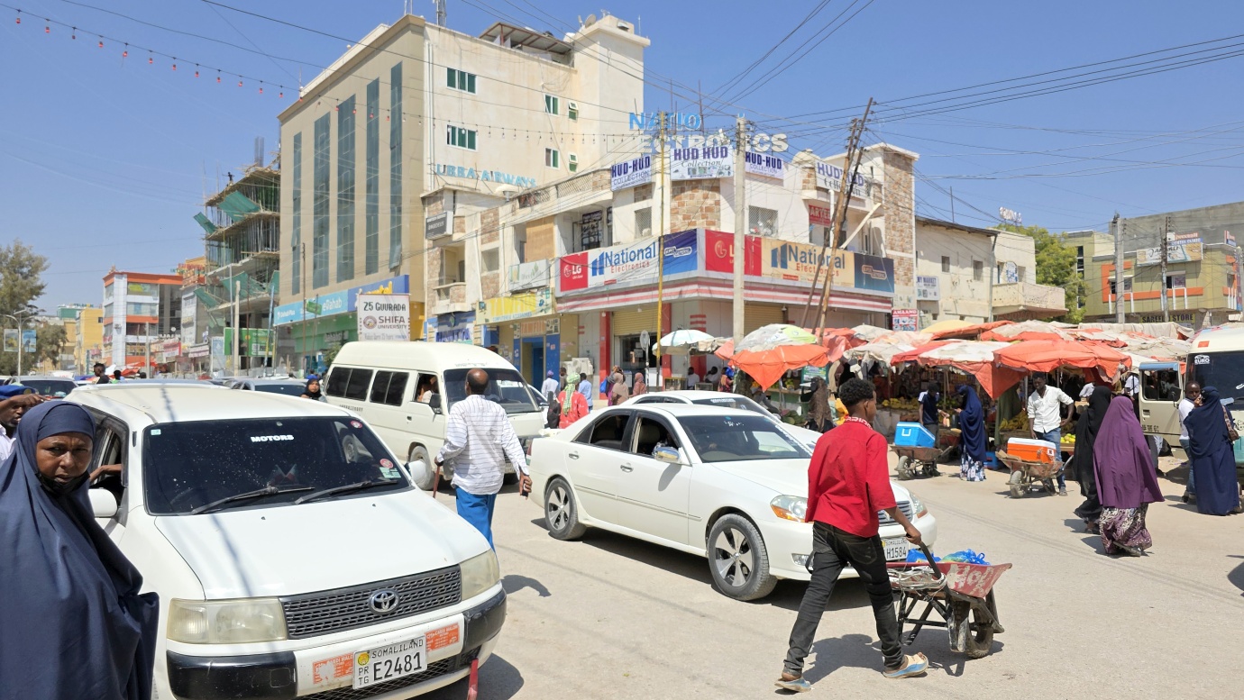
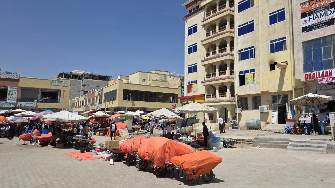
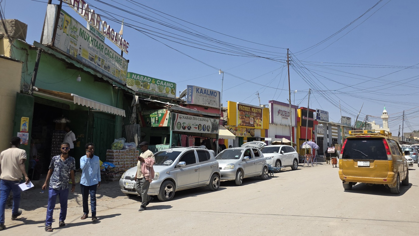
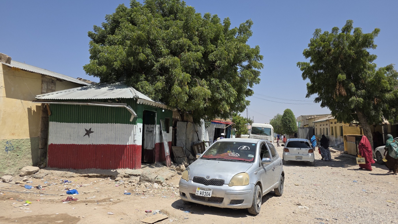
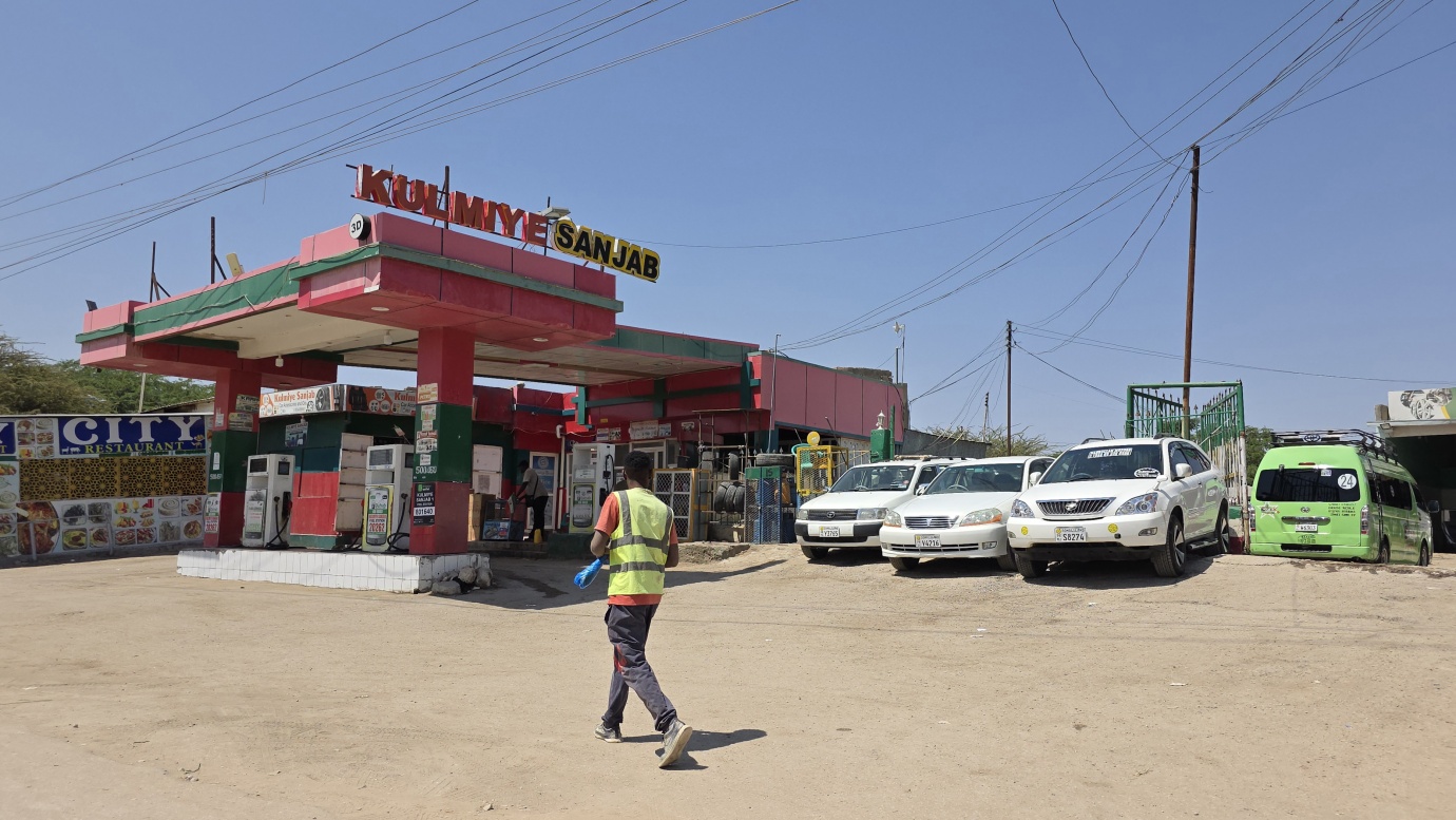
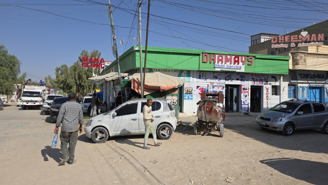
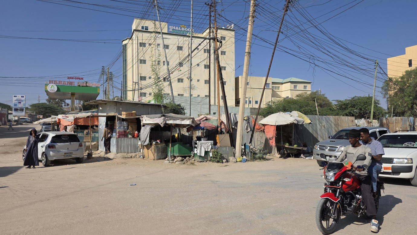
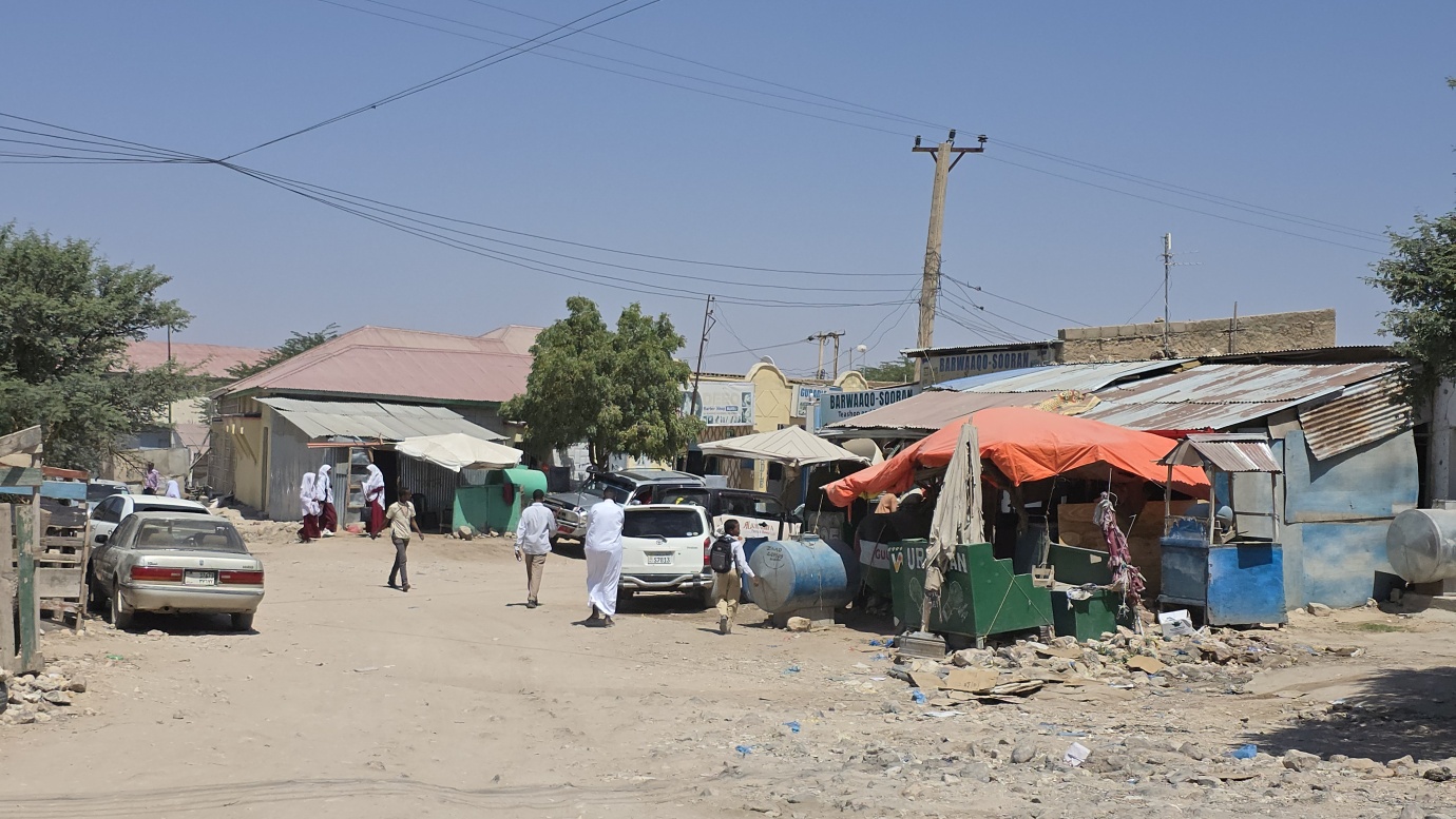
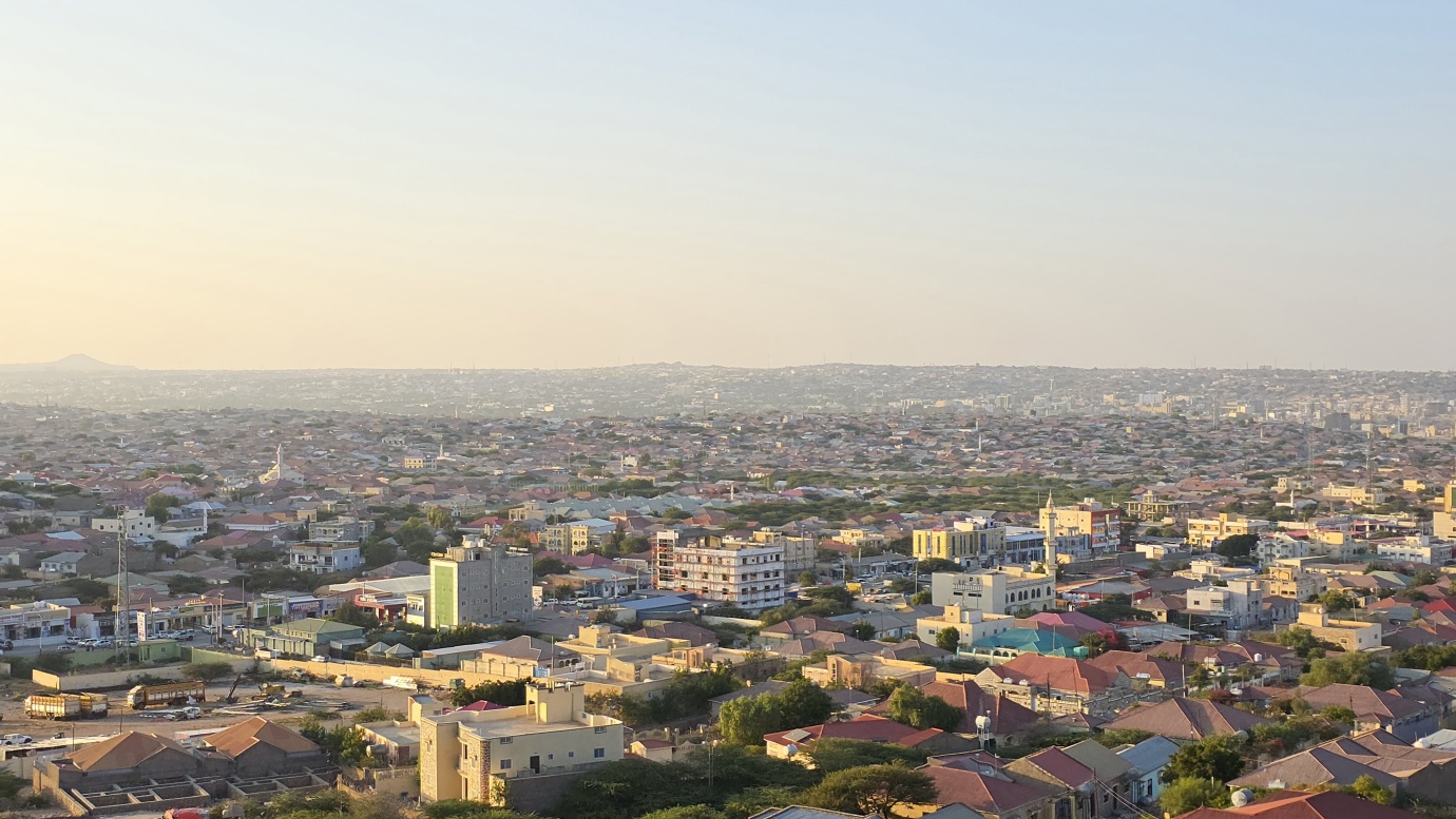
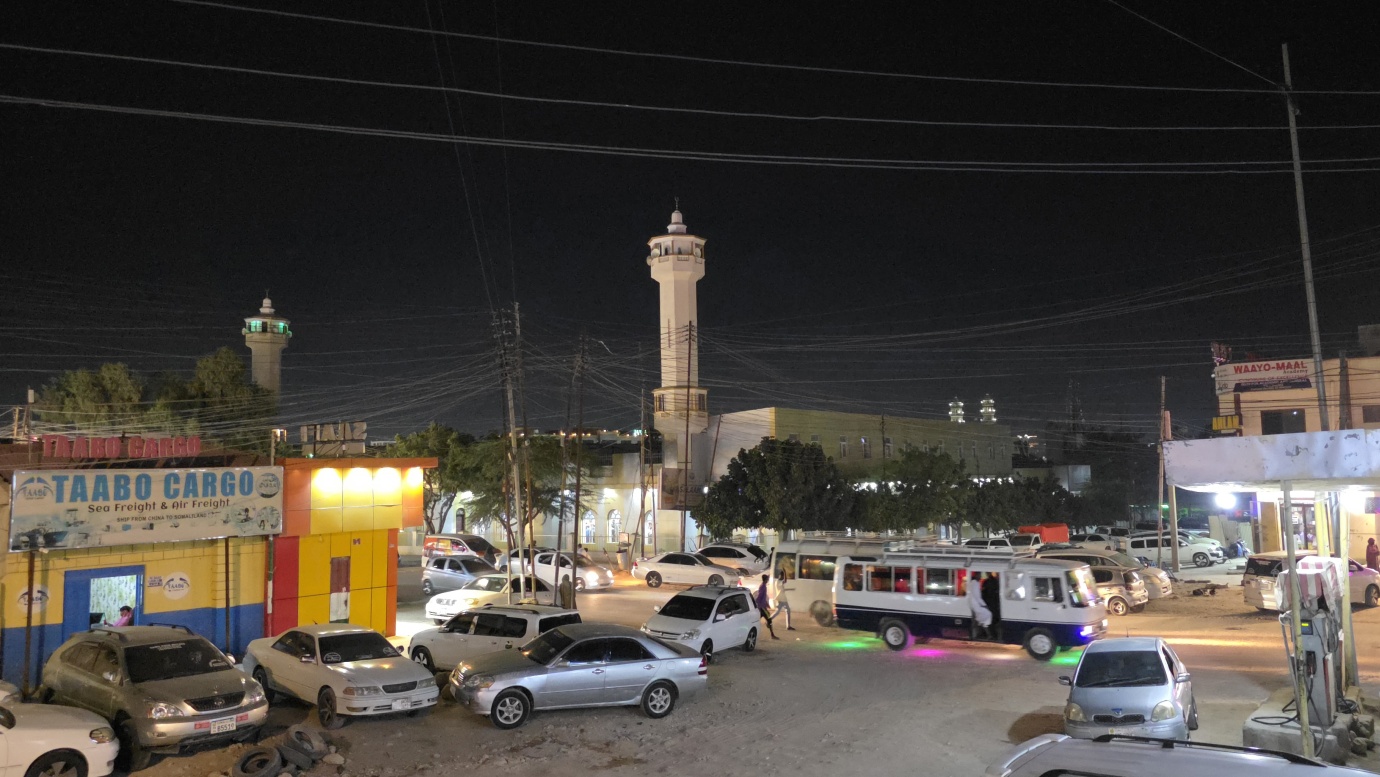
We spent one day in Somaliland’s capital, located in a valley within the Galgodon (Ogo) highlands of northwestern Somaliland, at an elevation of approximately 1,334 meters. Hargeisa’s history began as a watering and trading stop founded by the Isaaq Sultanate in the 19th century, and it became a key location for traders and herders, growing in prominence after it was incorporated into the British Somaliland protectorate in 1884. Under British rule, it grew into a significant administrative and commercial centre, eventually replacing Berbera as the capital in 1941. The city was the capital of British Somaliland before uniting with former Italian Somaliland in 1960 to form the Somali Republic. Hargeisa was nearly destroyed during the Somaliland War of Independence in the late 1980s, when the Siad Barre regime’s military launched a brutal campaign against the region, leading to the near-total destruction of the city and a significant loss of life. City has since been largely rebuilt and is now the capital and economic hub of the de facto independent Somaliland.
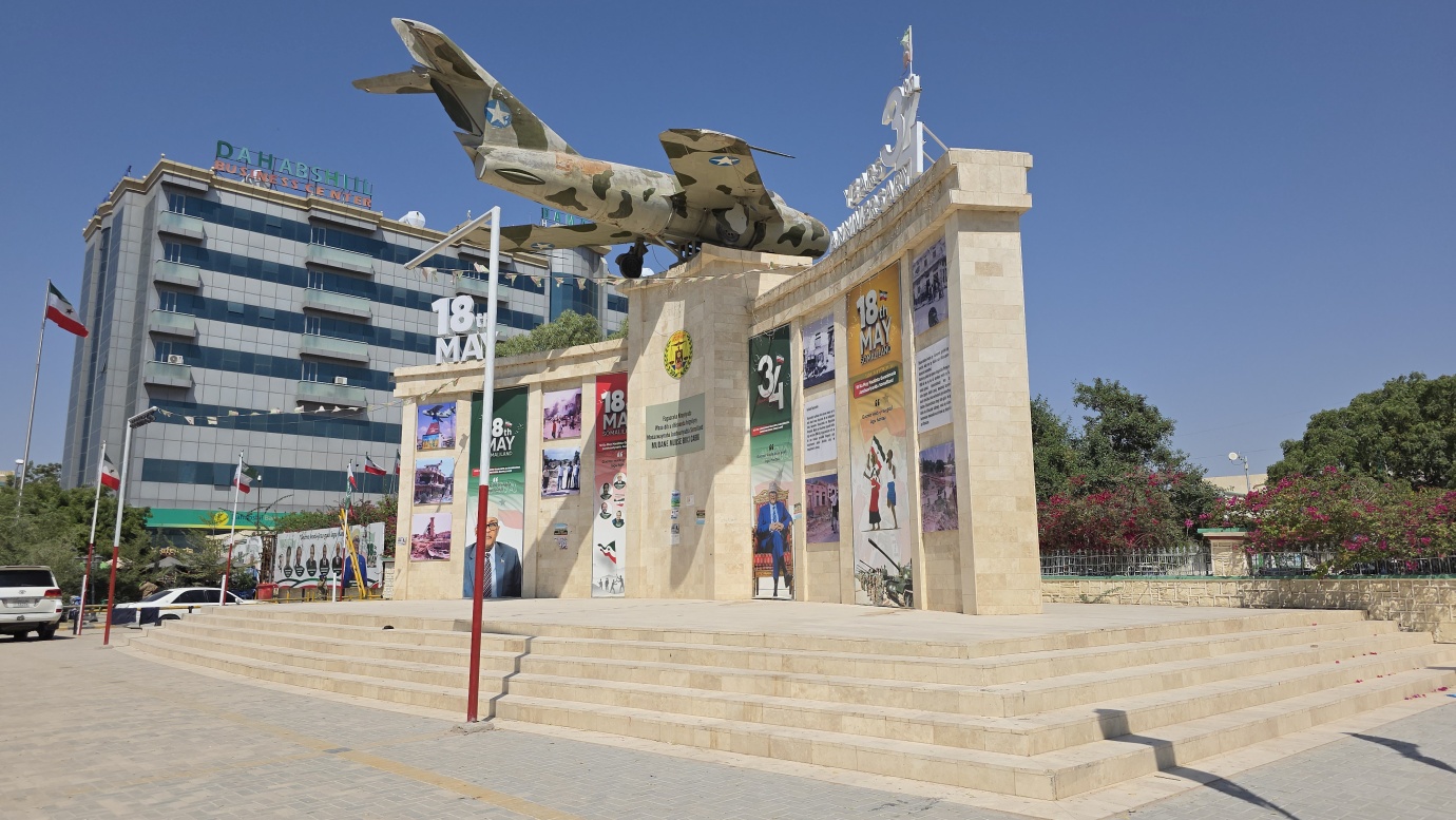
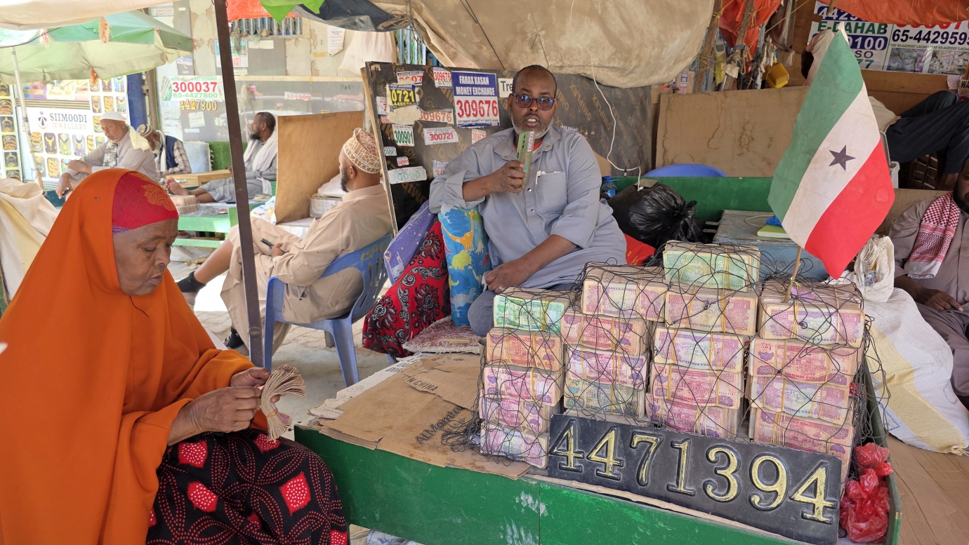
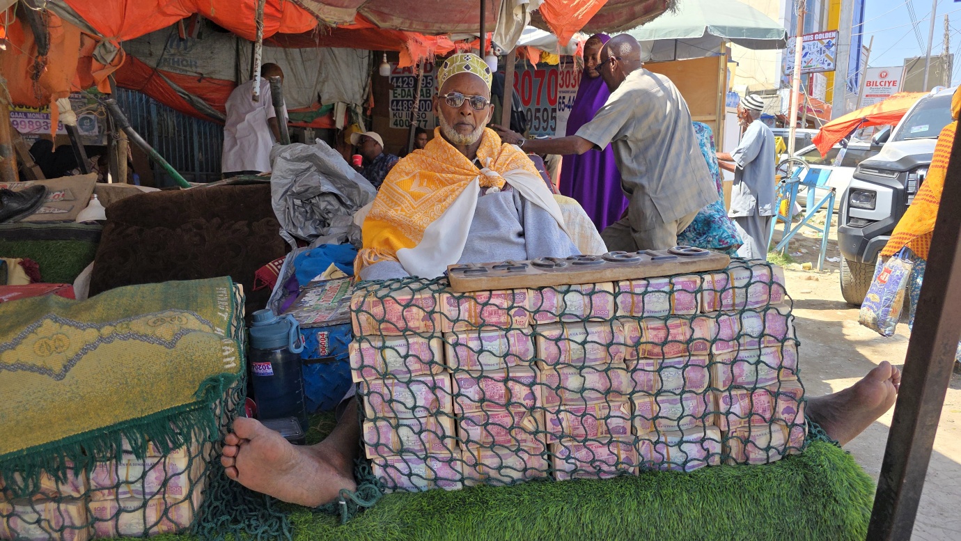
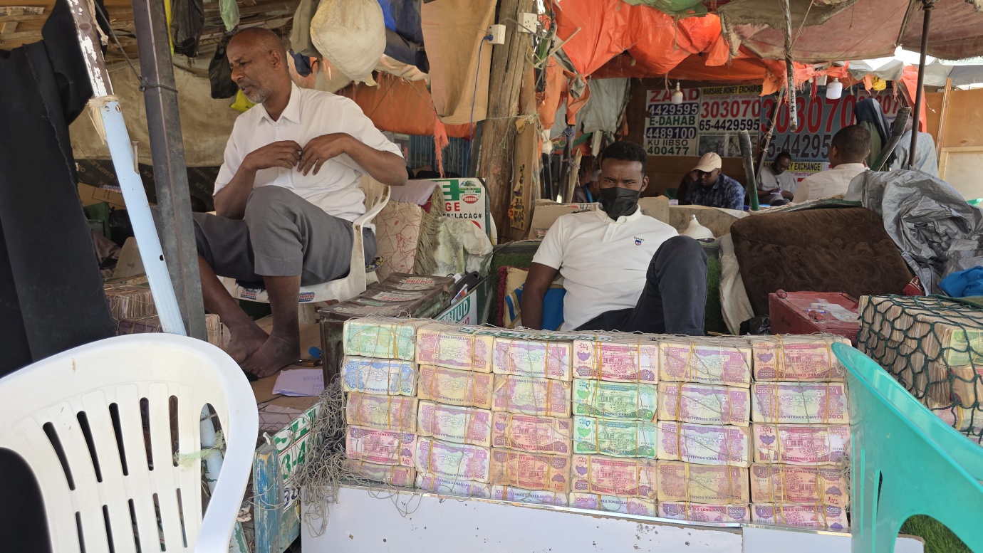
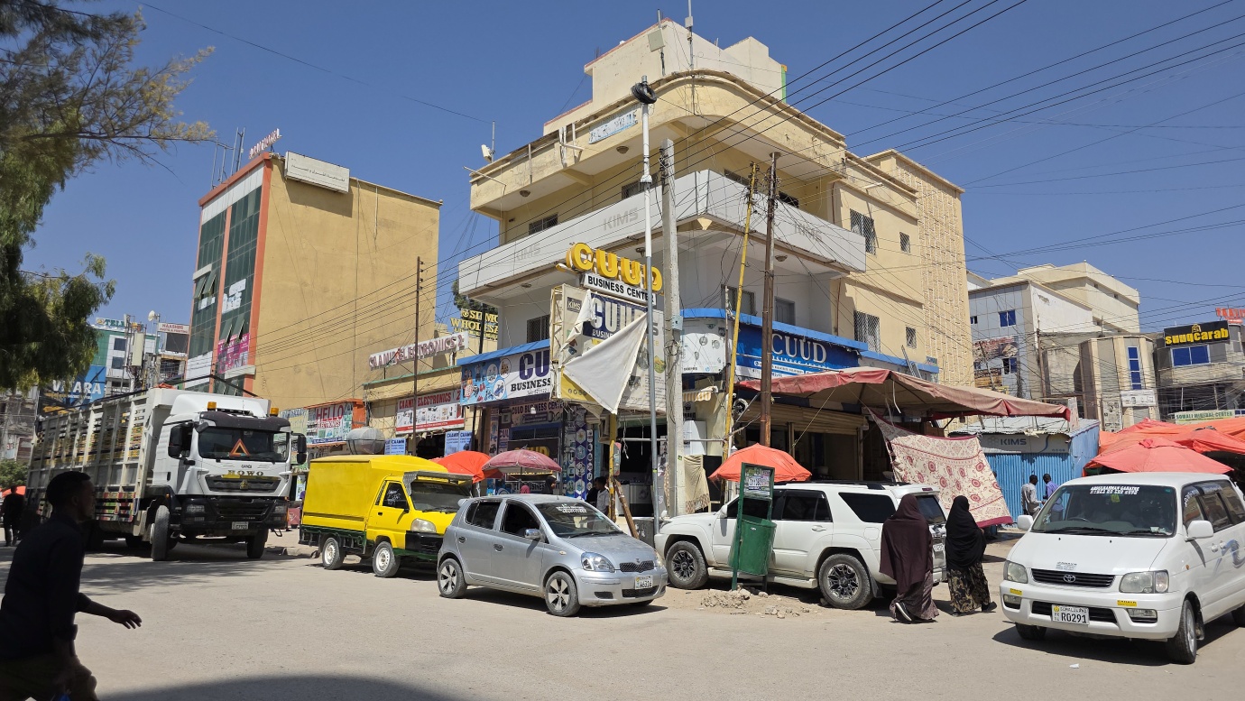
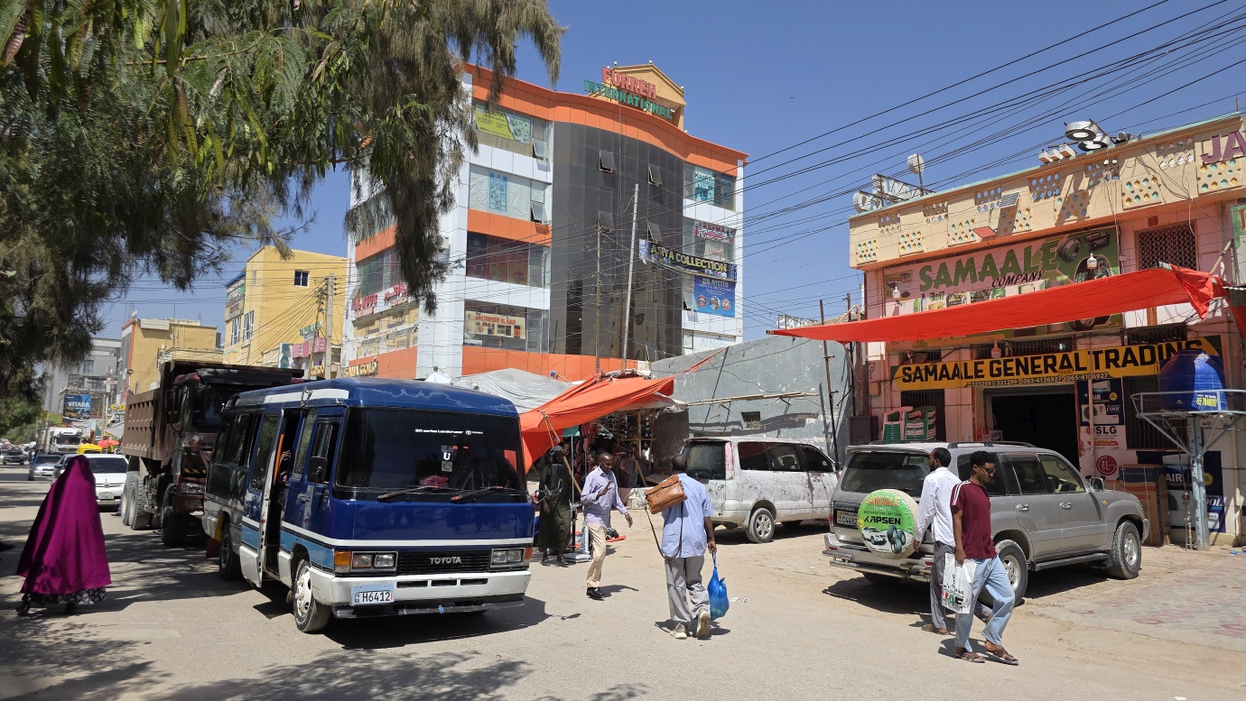
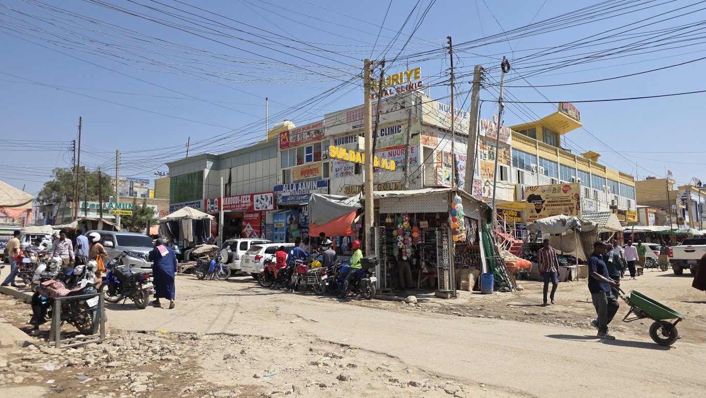
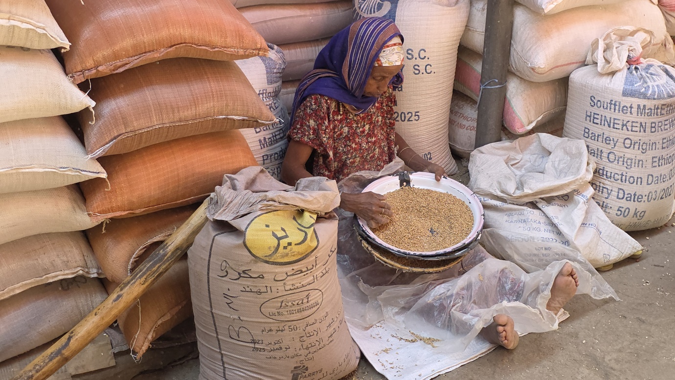
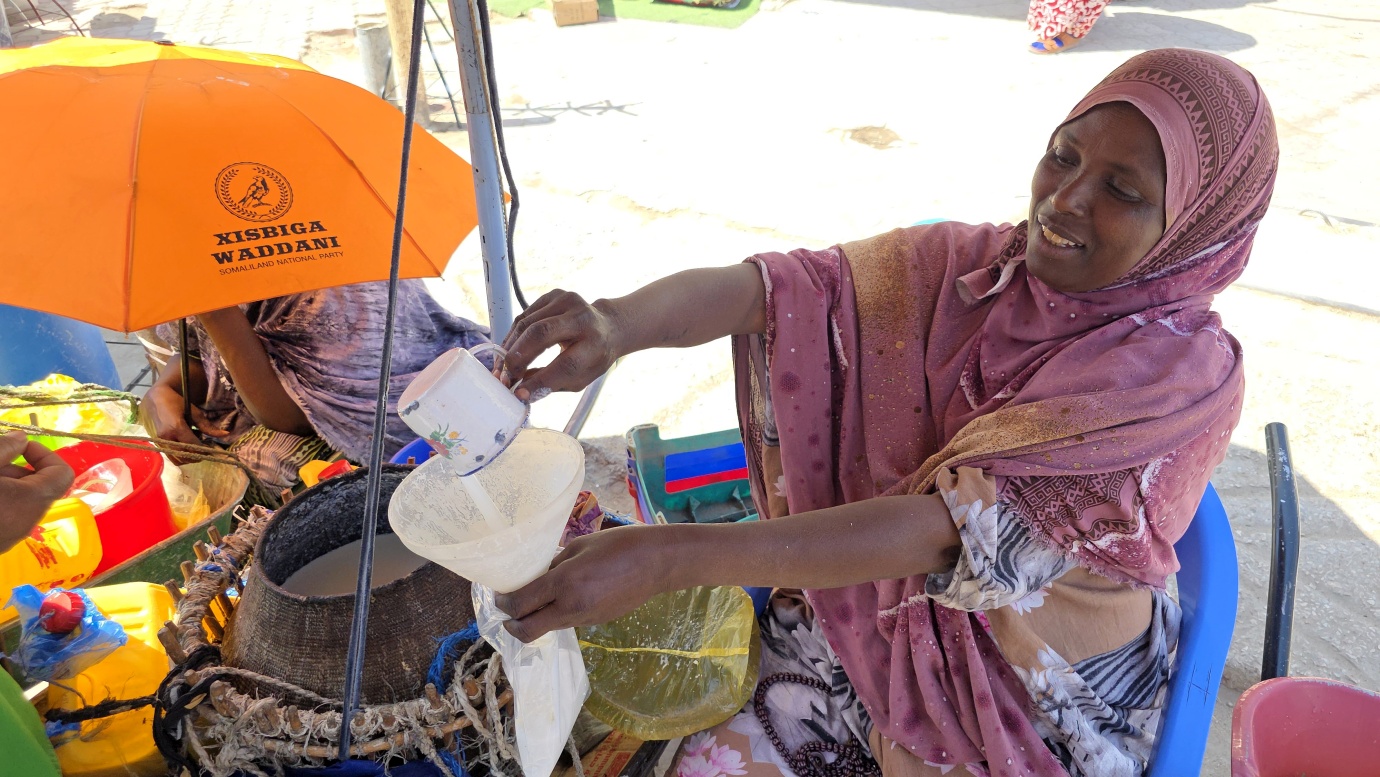
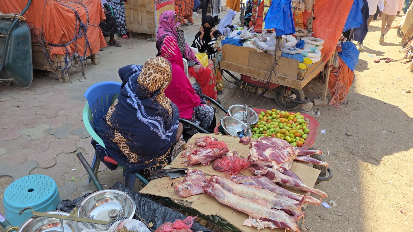
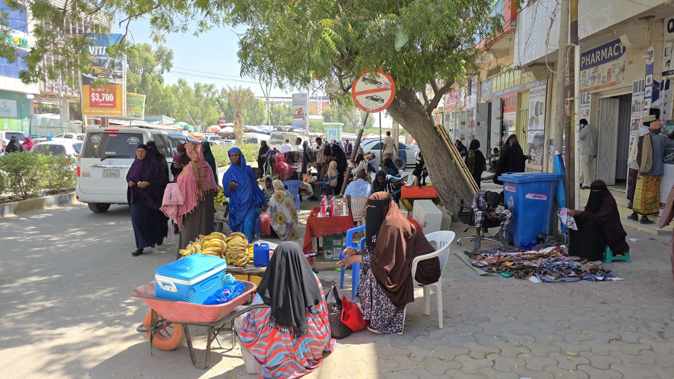
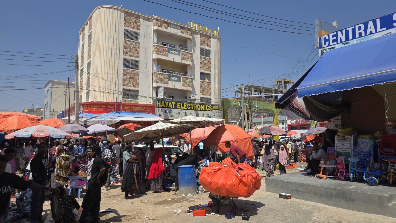
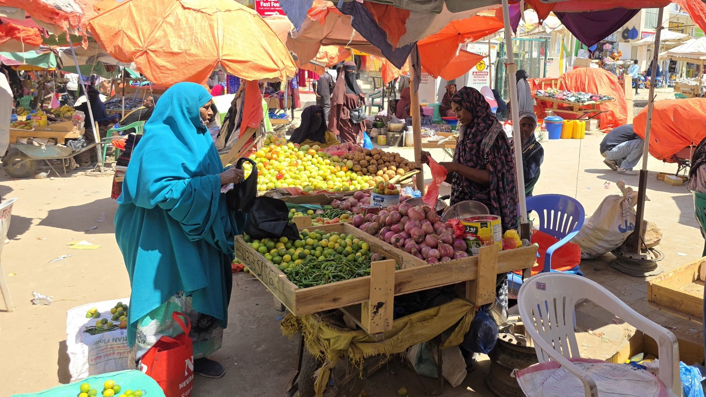
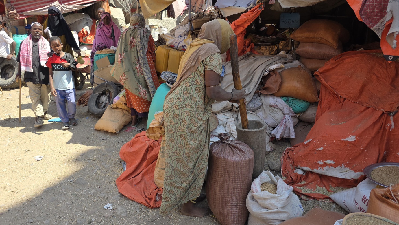
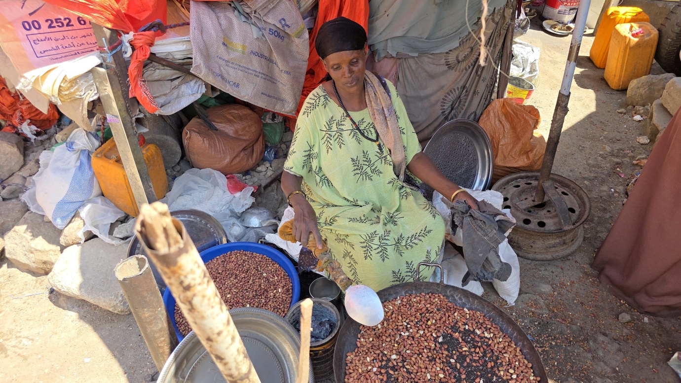
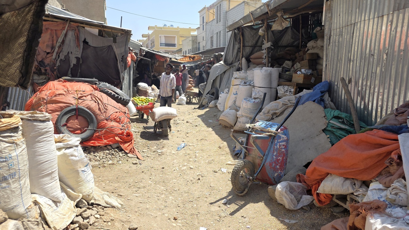
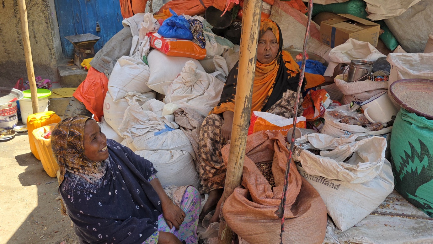
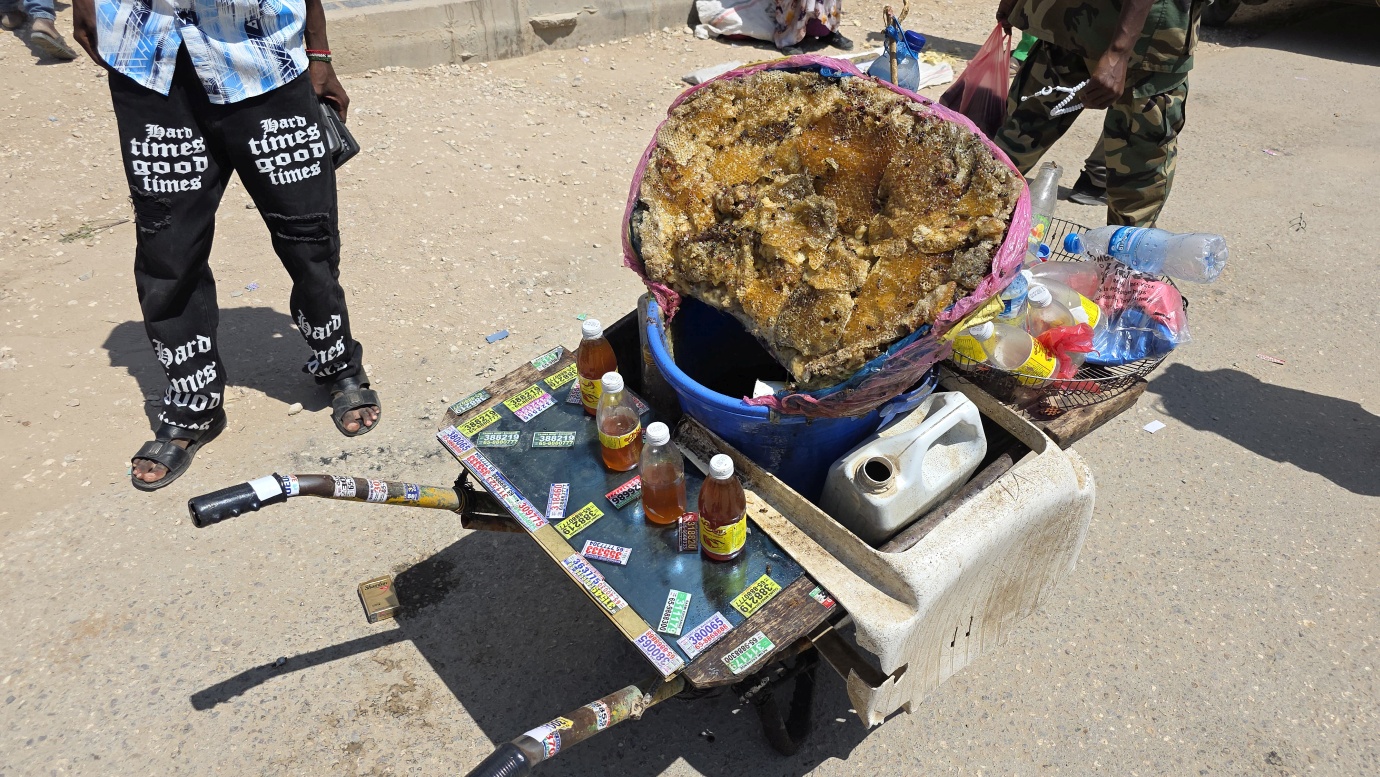
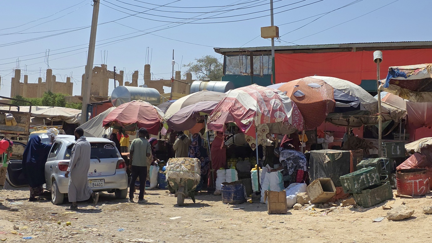
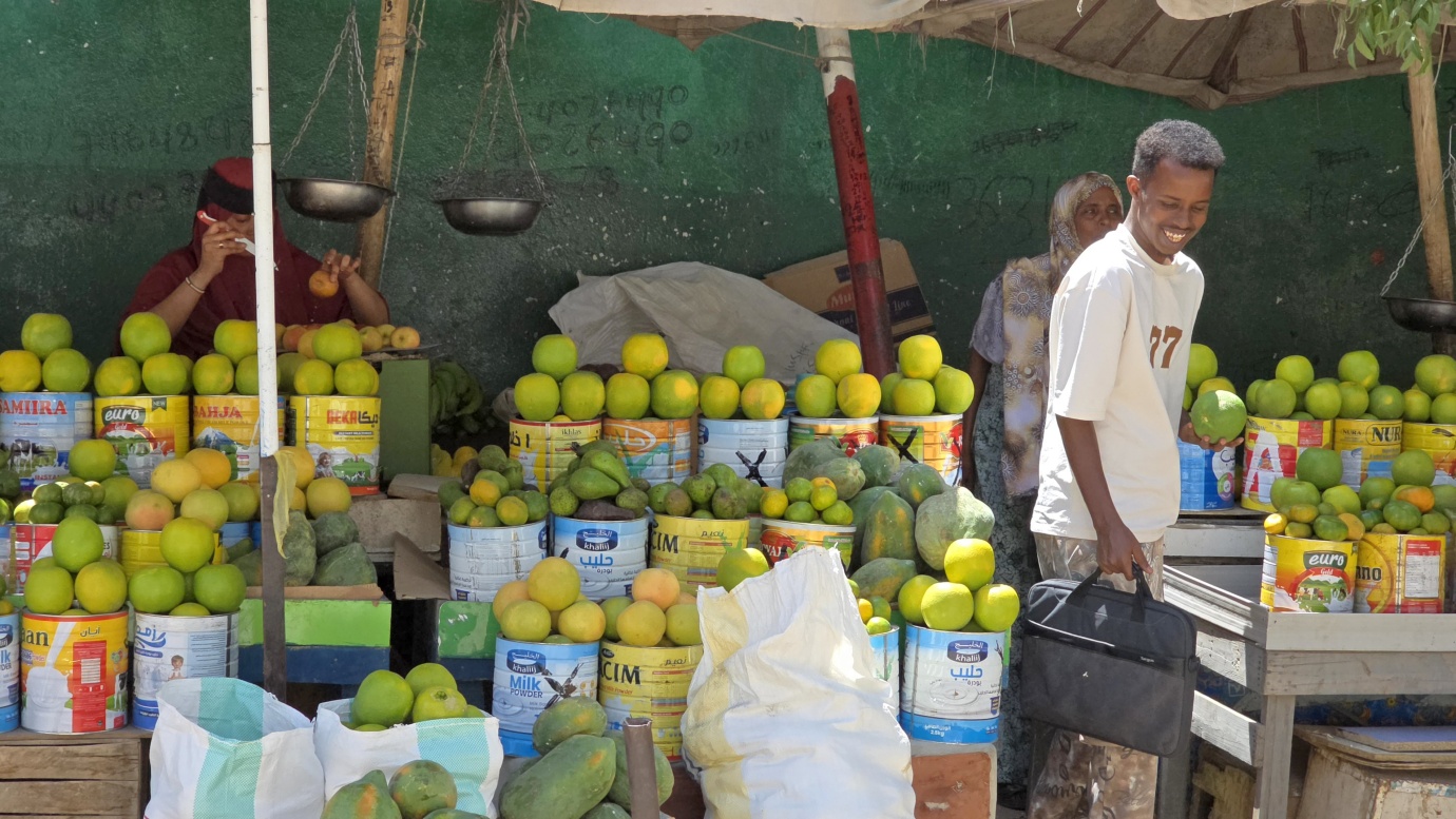
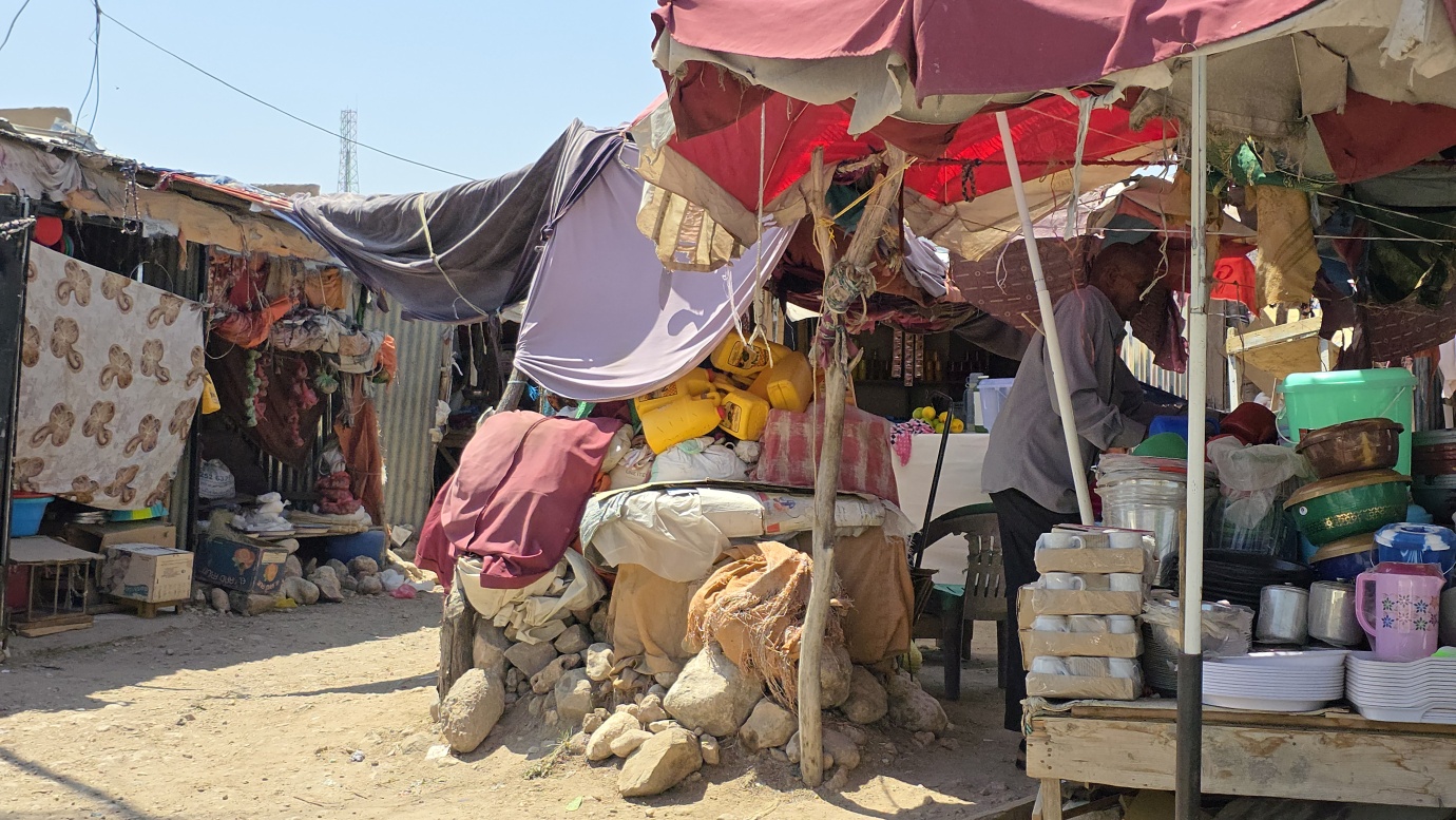
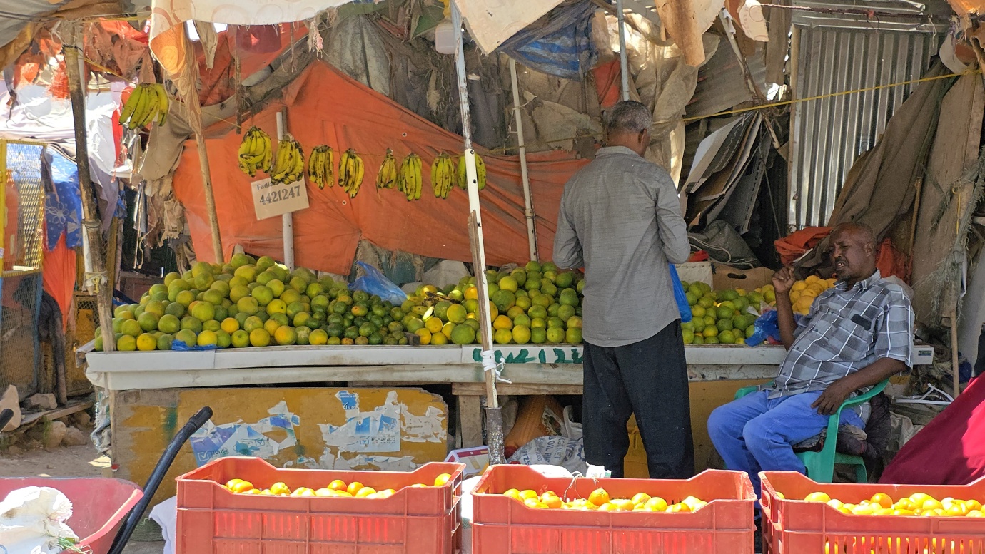
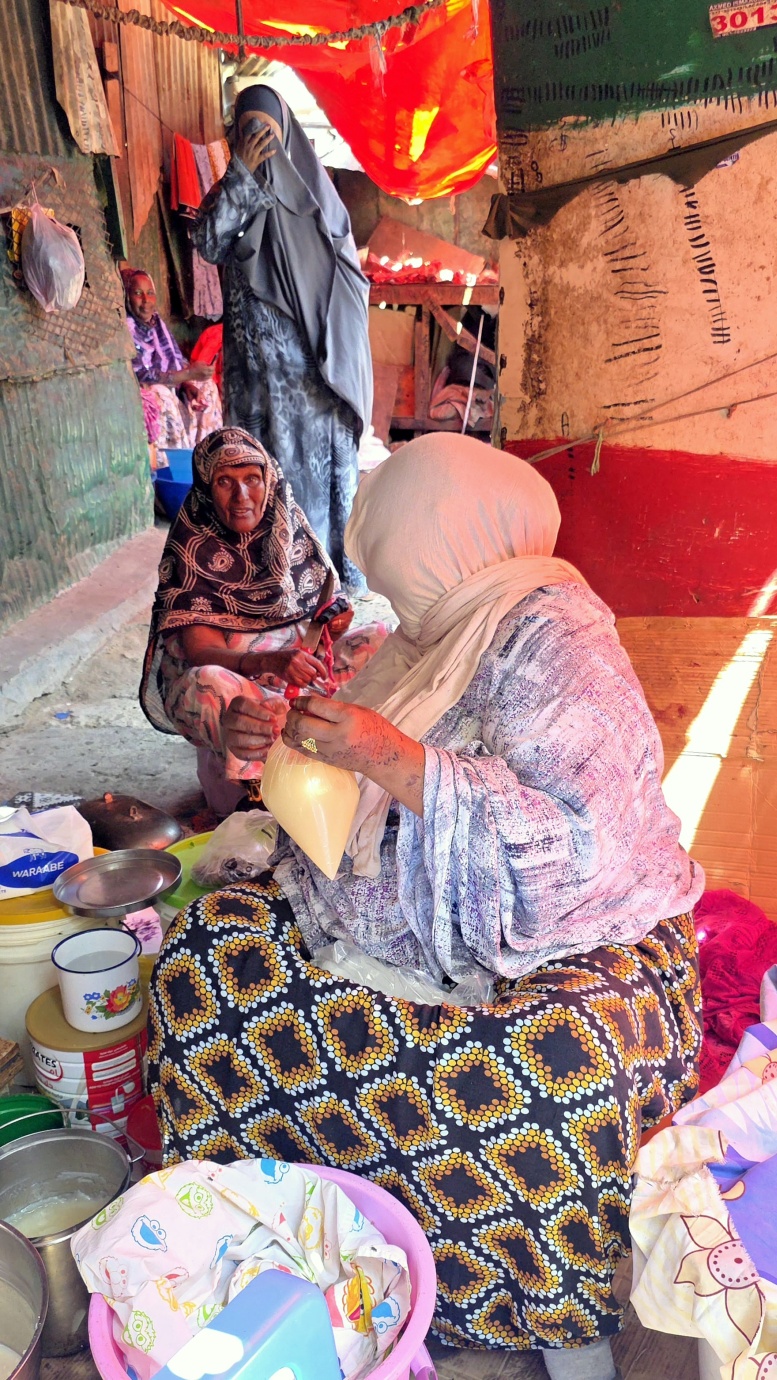
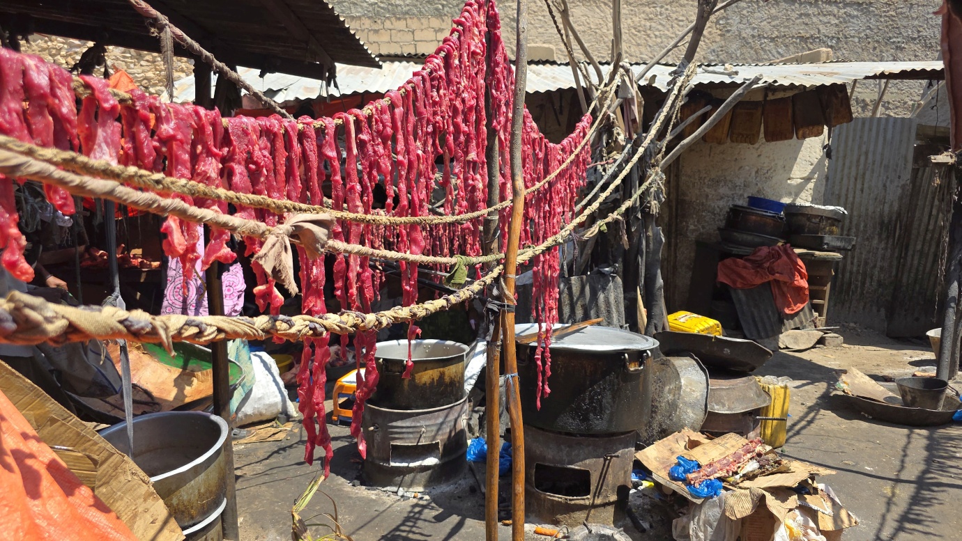
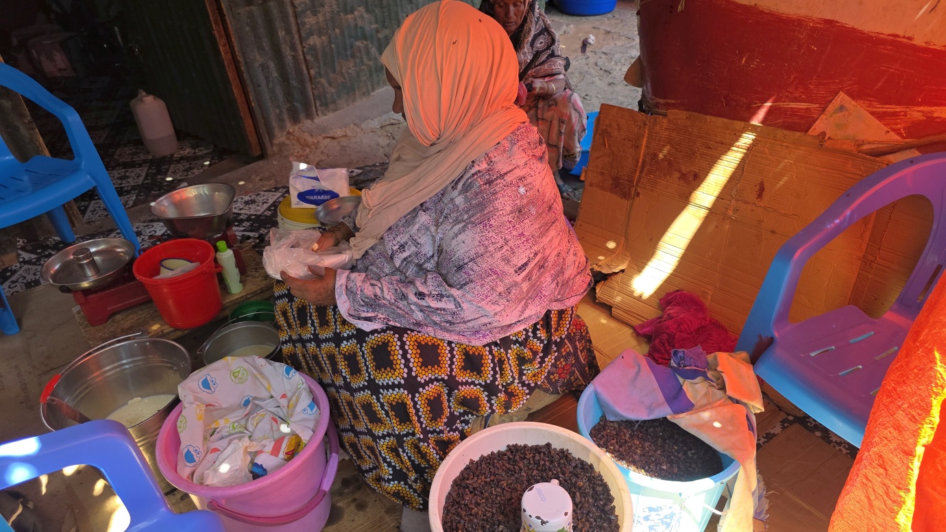
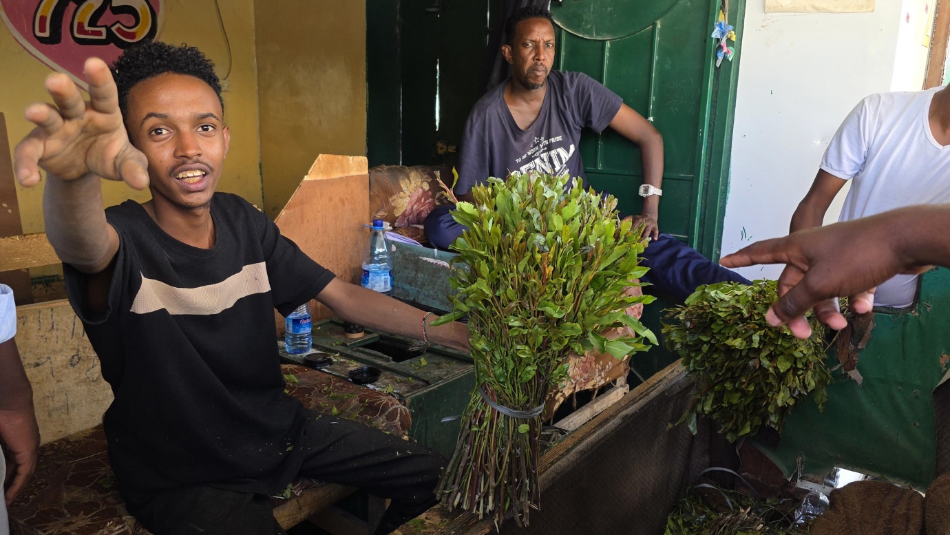
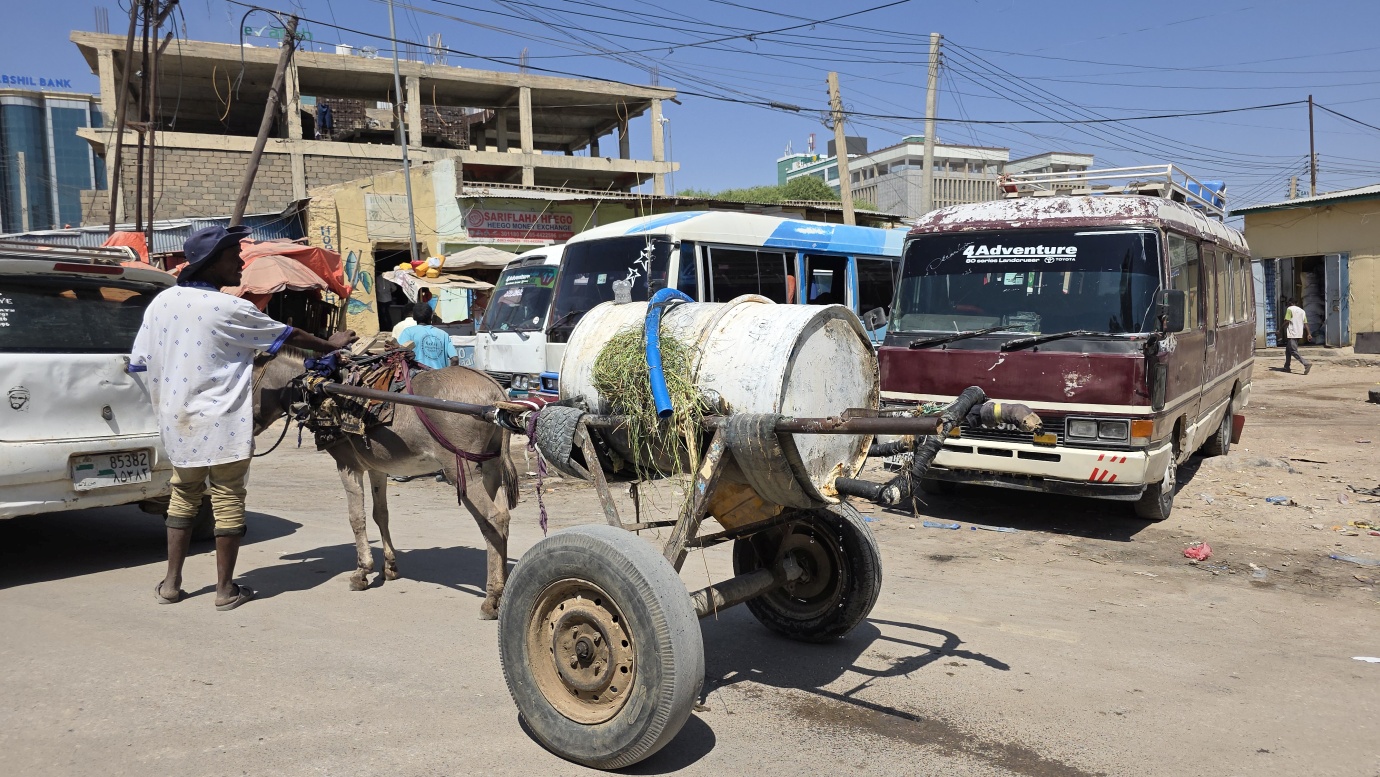
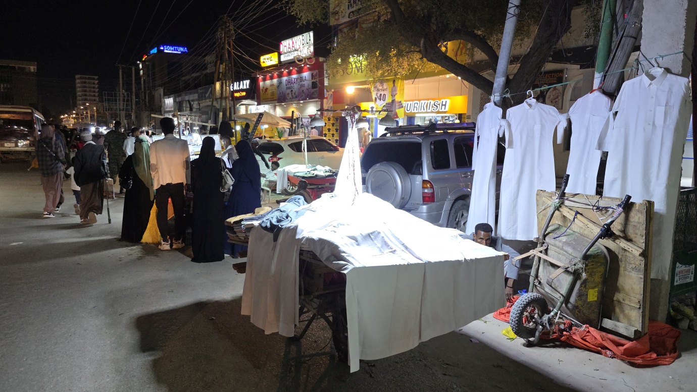
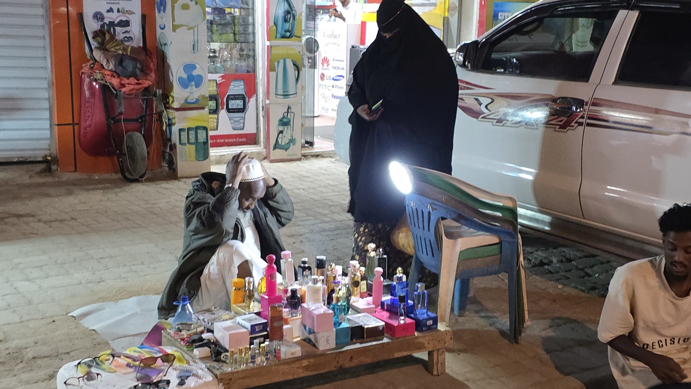
We had a walking city tour with a local guide and a security man. It was not unfriendly, but still extremely difficult to take any photos around the market area, the Hargesa War Memorial with a MIG-17 fighter, and the livestock market. Even if you make a deal, such as buying something or giving a tip, people still do not want to be in front of the camera. If you make a deal that they will be in a photo, others behind you do not like it at all and disturb the whole scene, so it was the most challenging place for photography we have ever been.
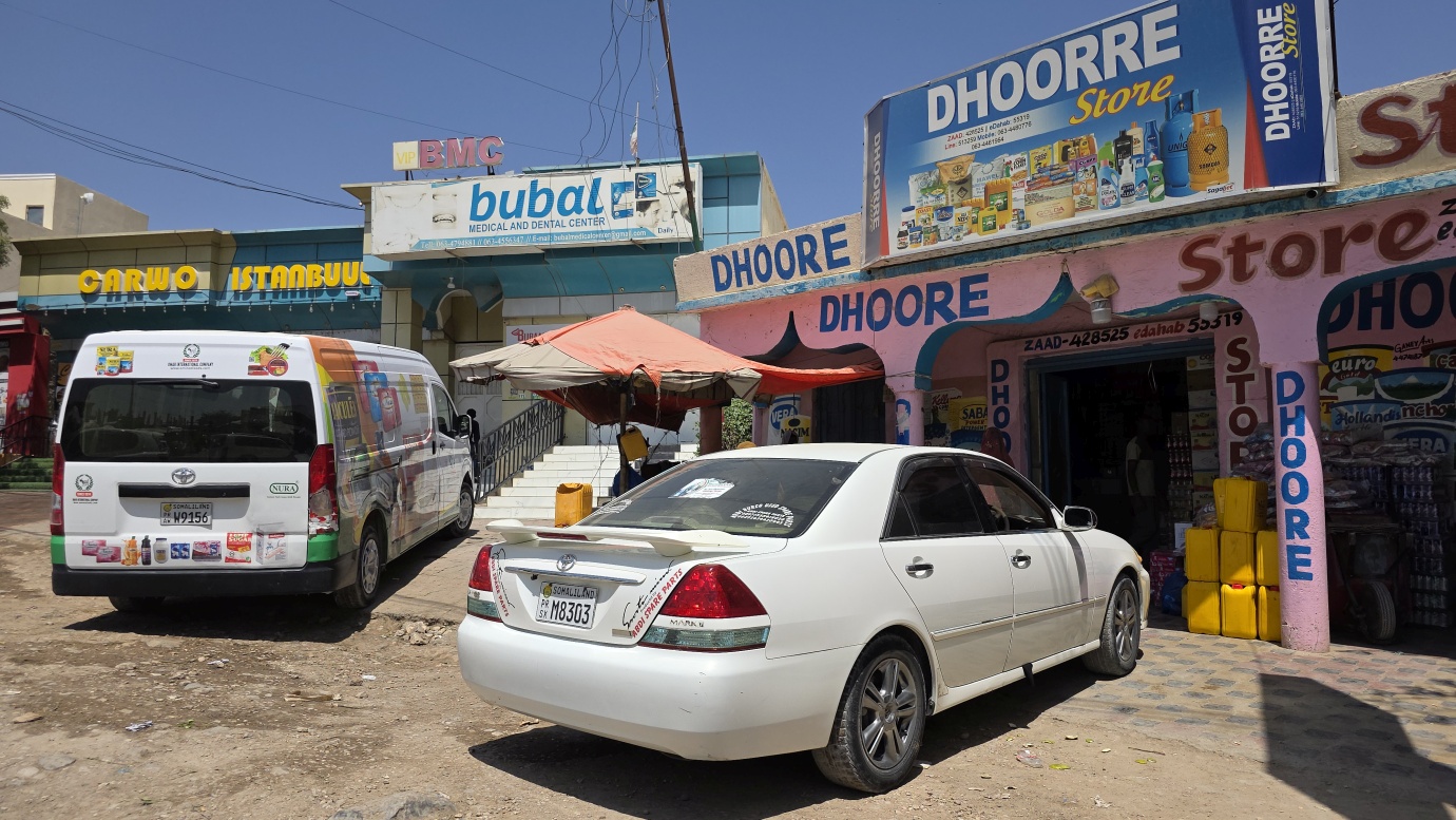
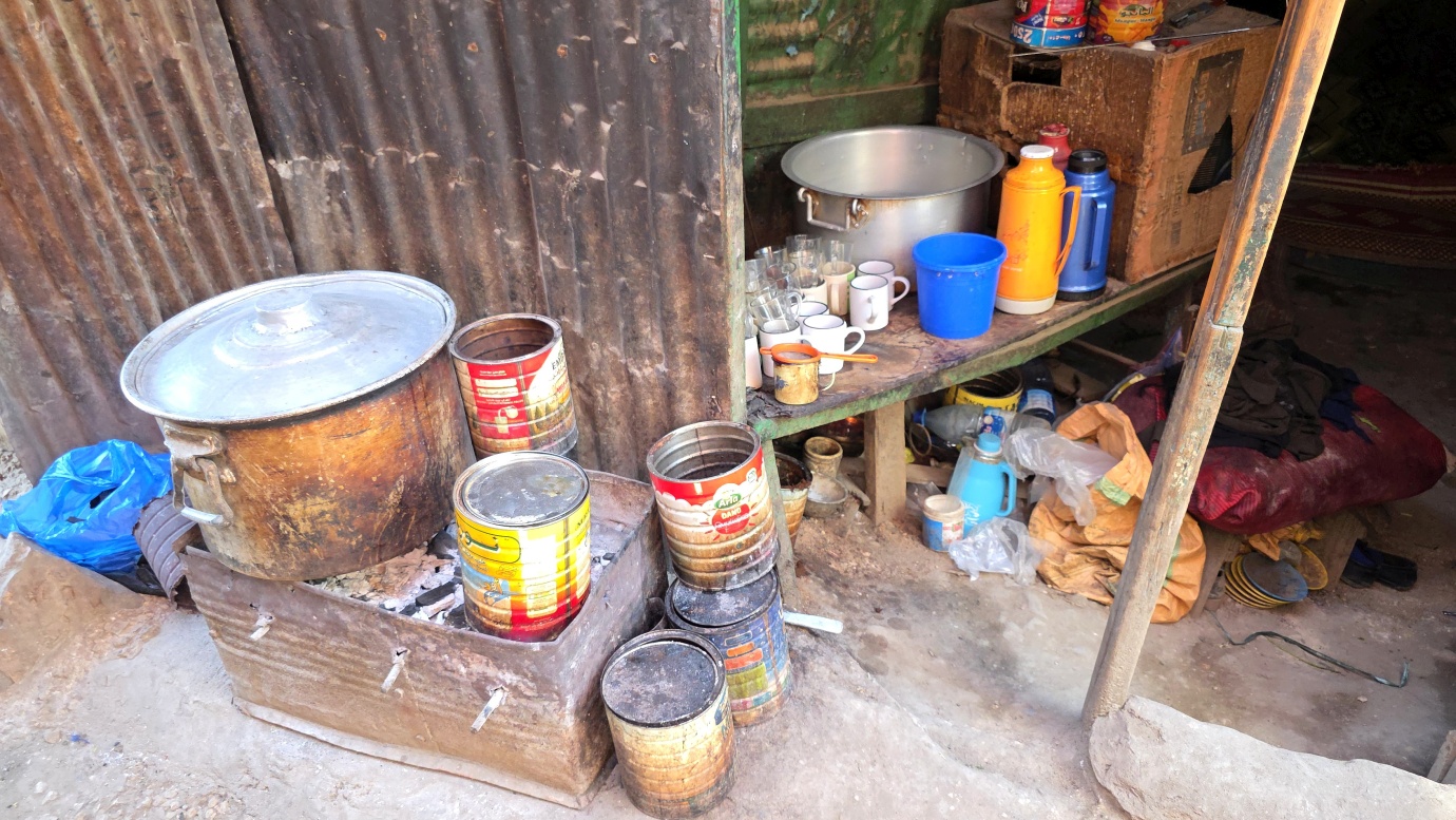
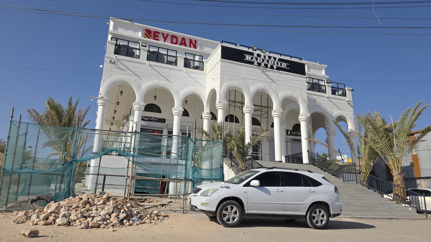
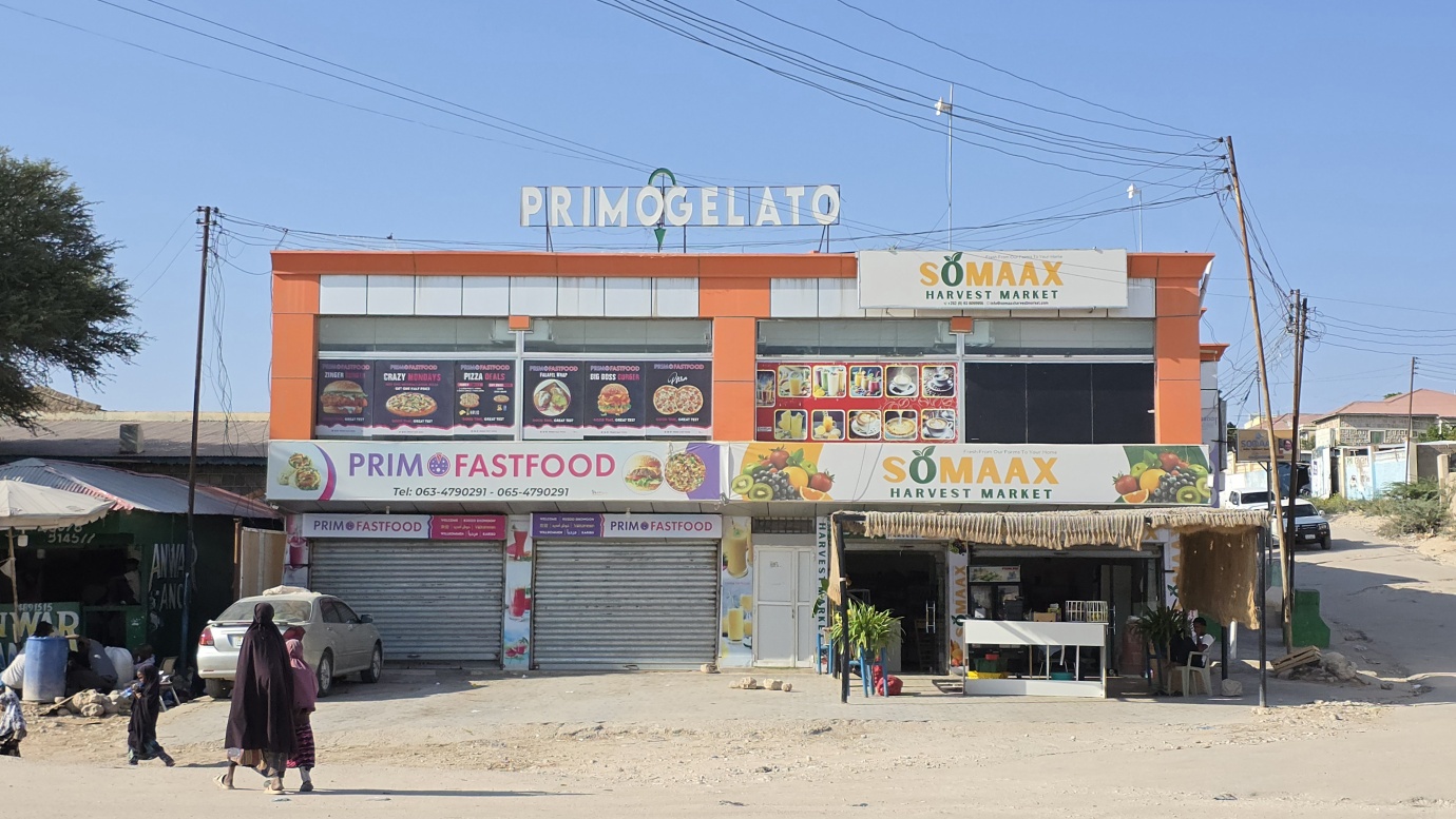
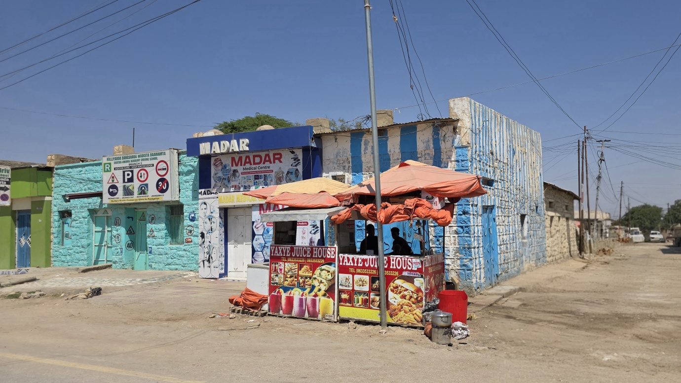
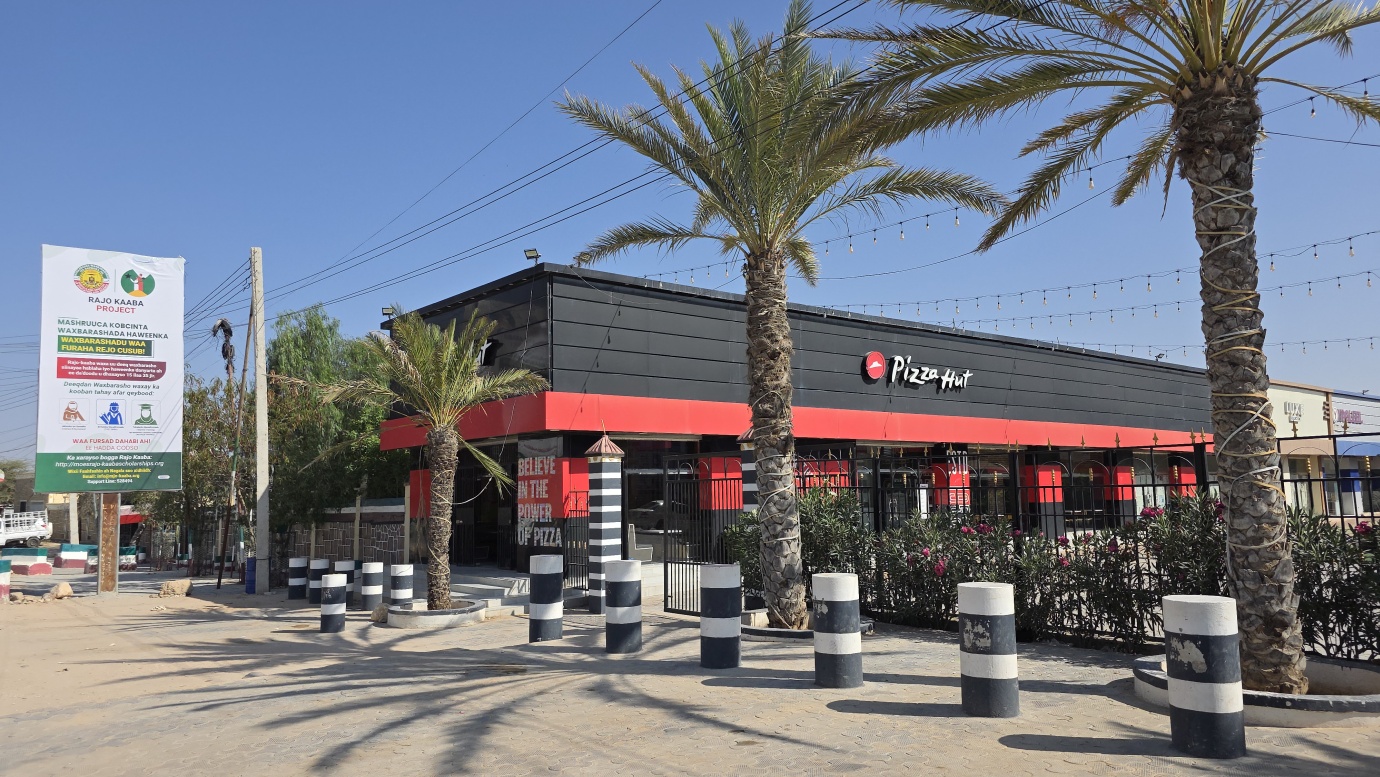
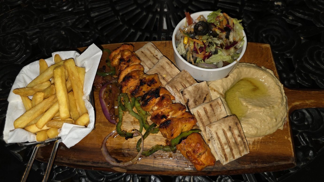
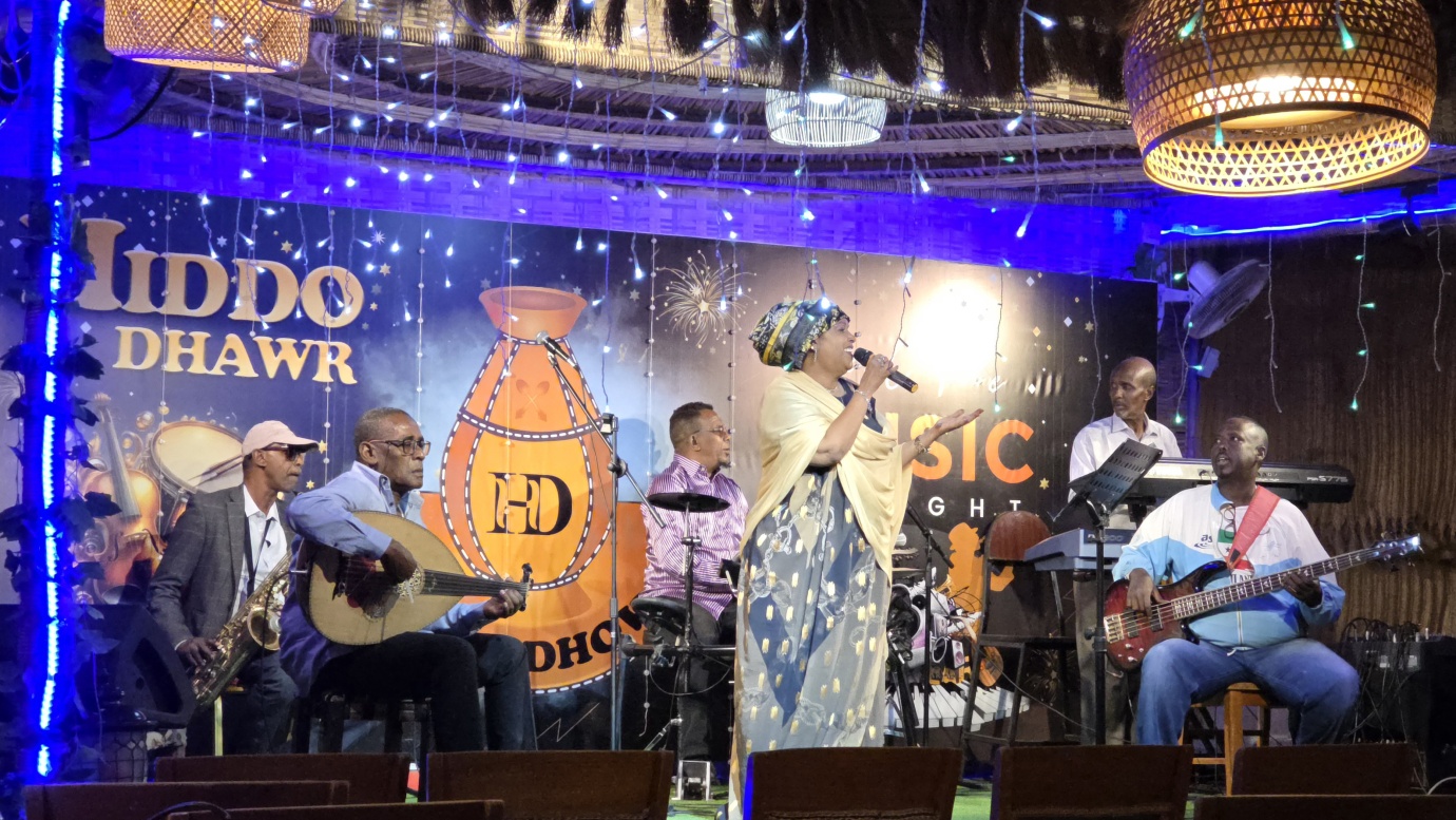
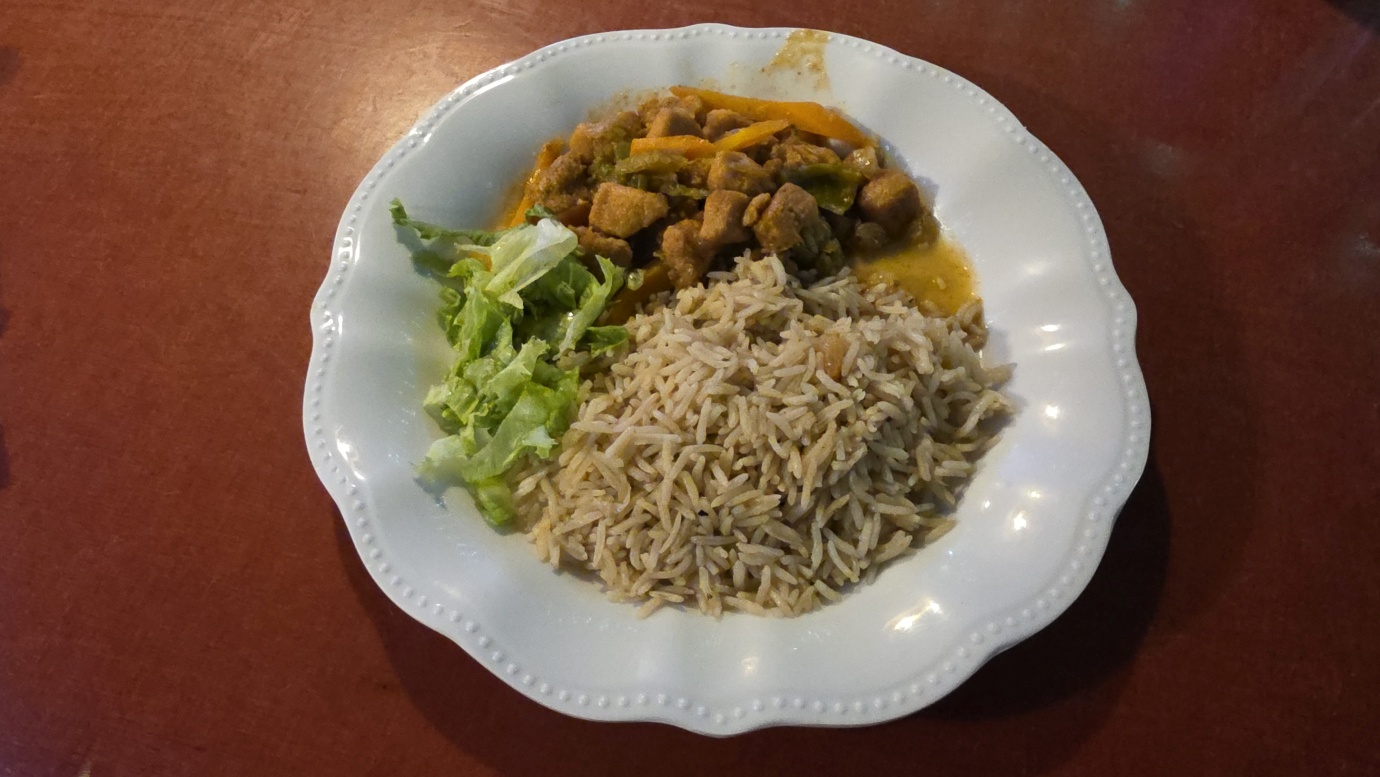
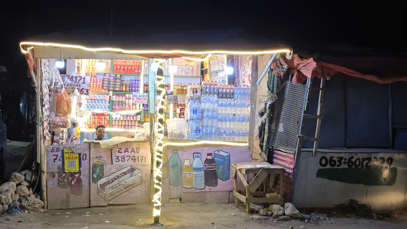
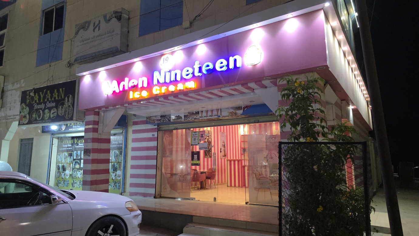
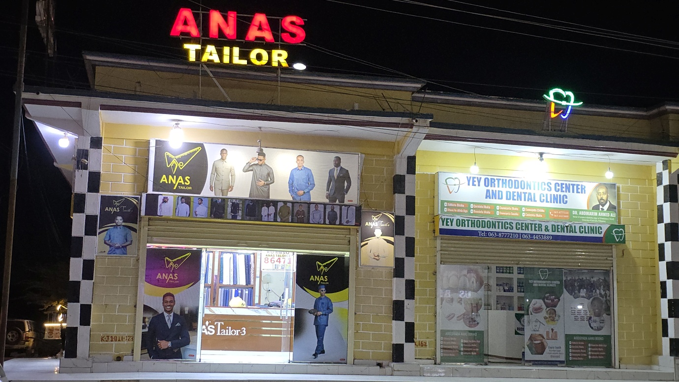
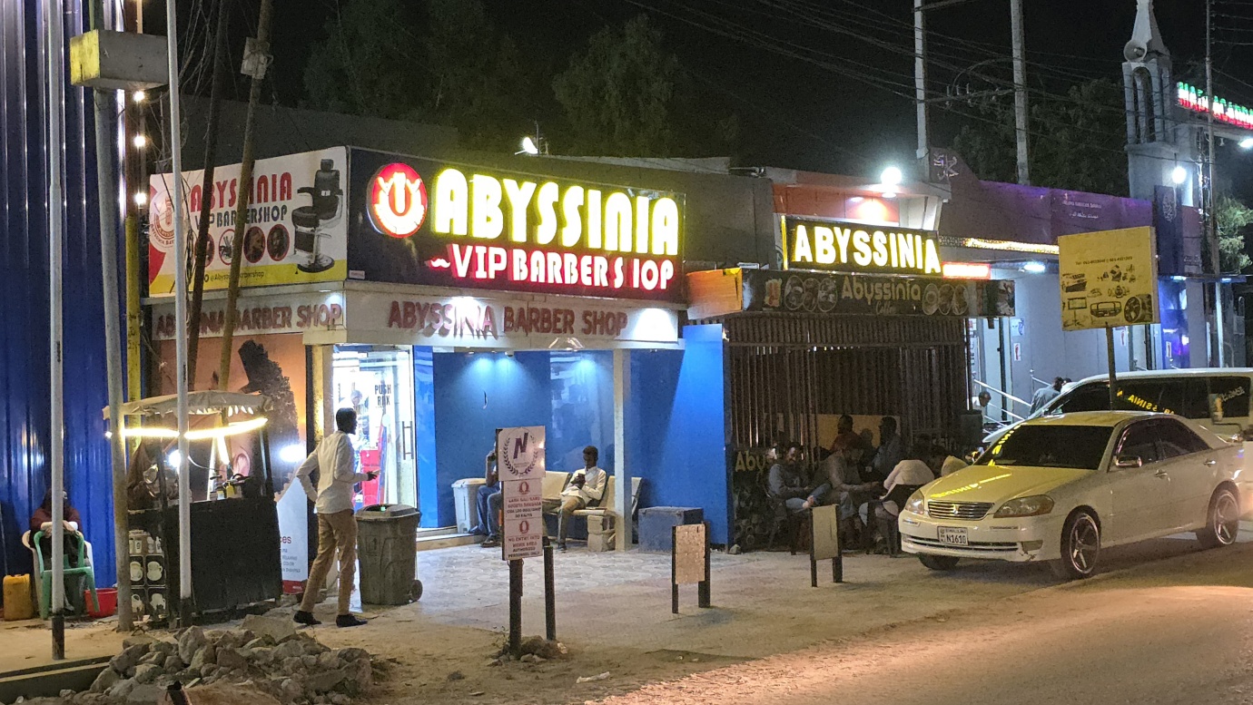
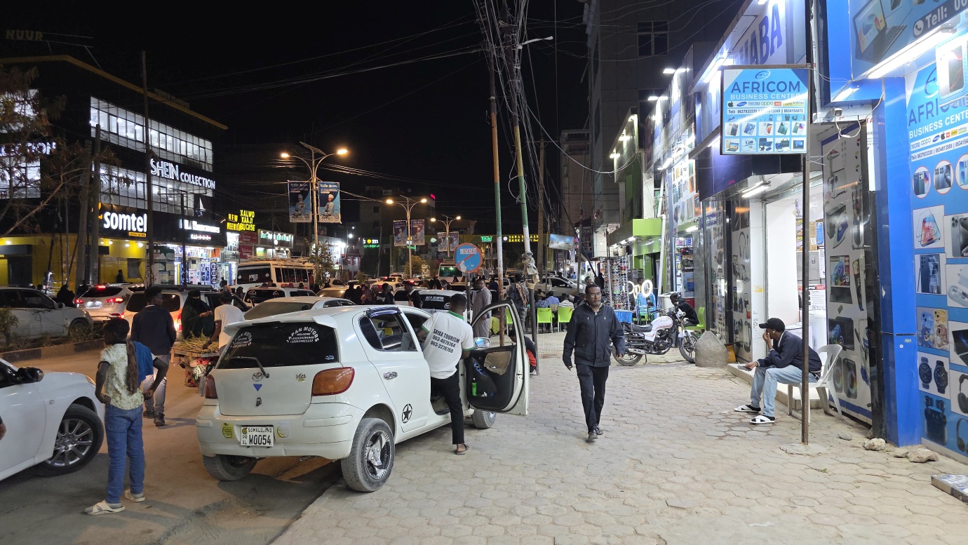
Also, what really surprised us was that most of the coffee shops and restaurants we visited served delicious food at reasonable prices, which was pretty refreshing after a year around East Africa, like Café Laas Geel, Damal, and Pappa Roti. There is not much to do in the evening, unless you will be there on Thursday or Friday night, in which case we recommend taking a taxi to the cultural show at Hiddo Dhawr. The ticket includes a basic dinner with soft drinks. Wait till midnight, when the dimmed lights signal to all locals that they can start dancing. In the end, the cultural show transforms into a lively nightclub with a great atmosphere, and without hijab — the only place in Somaliland.