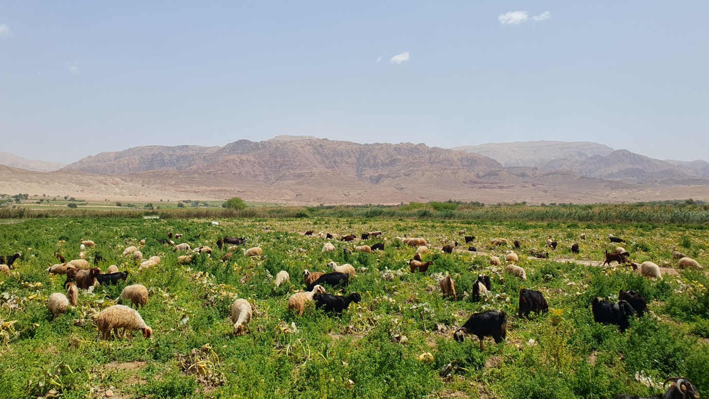
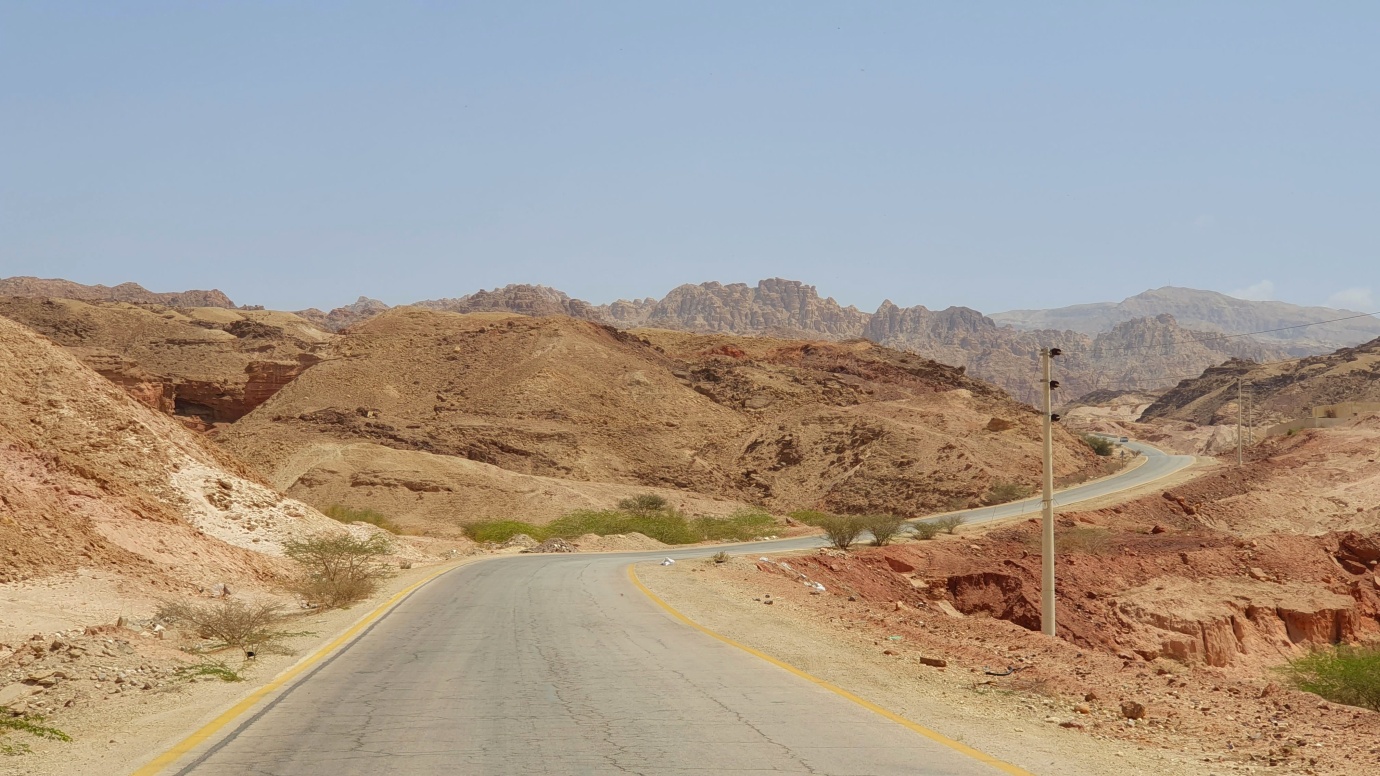
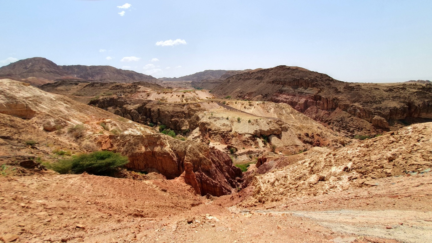
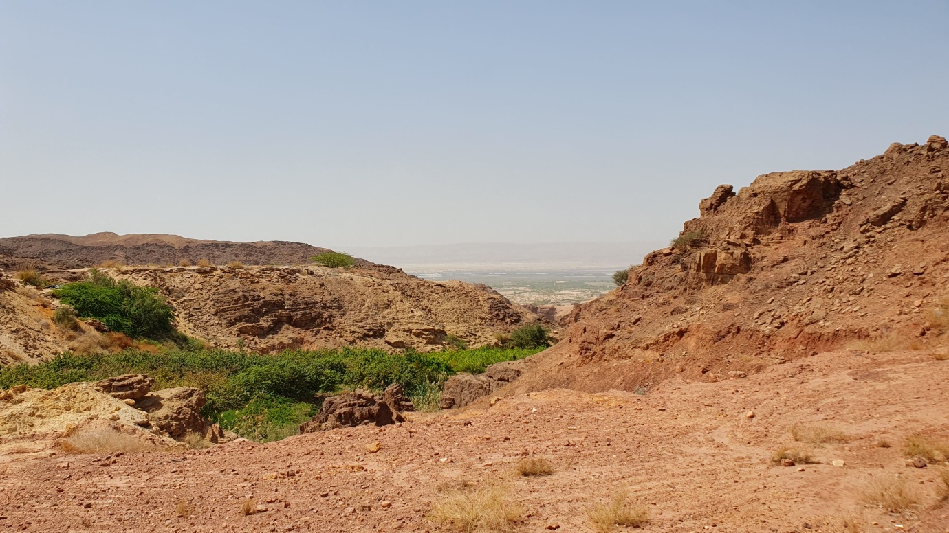
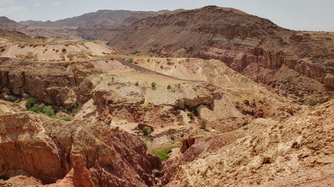
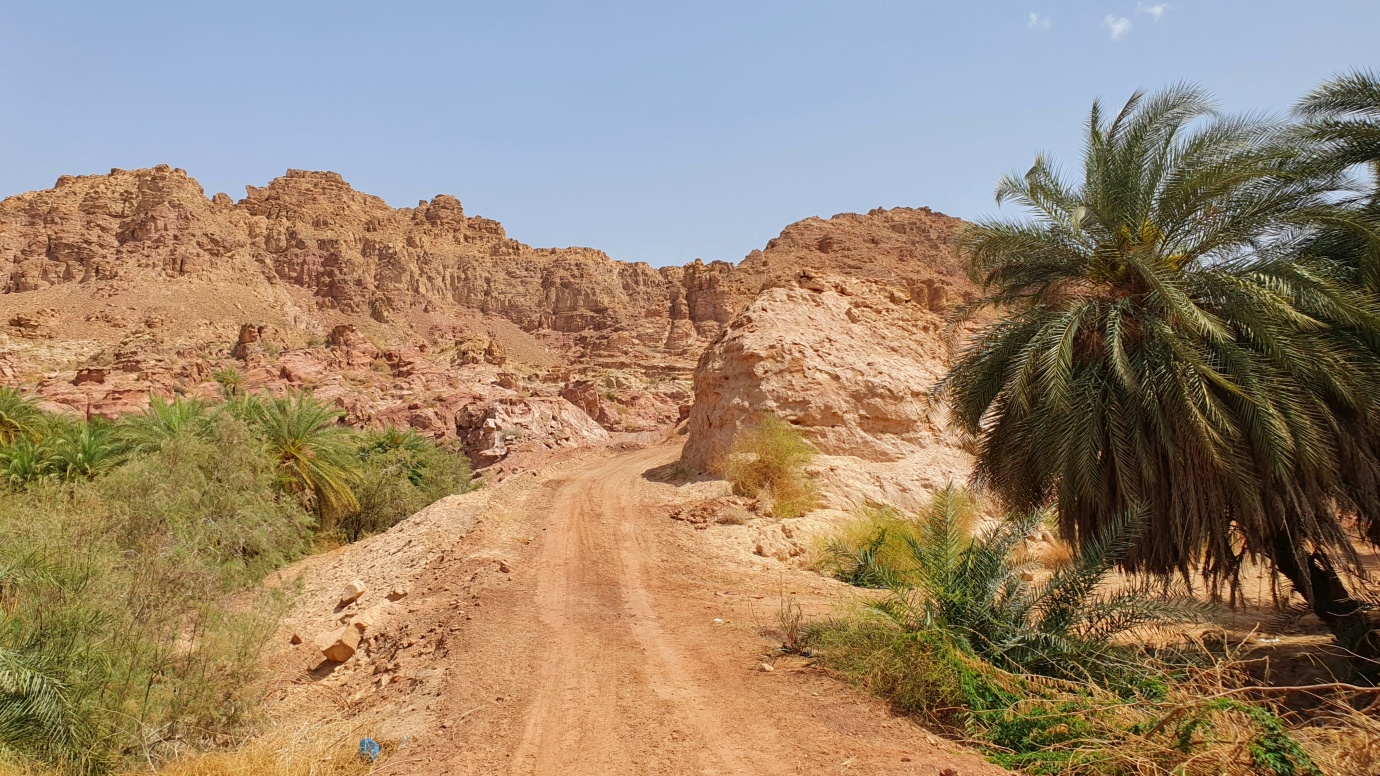
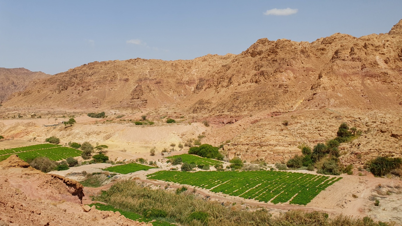
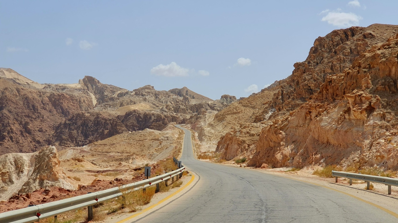
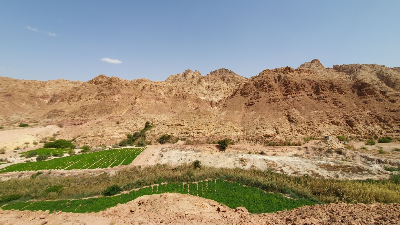
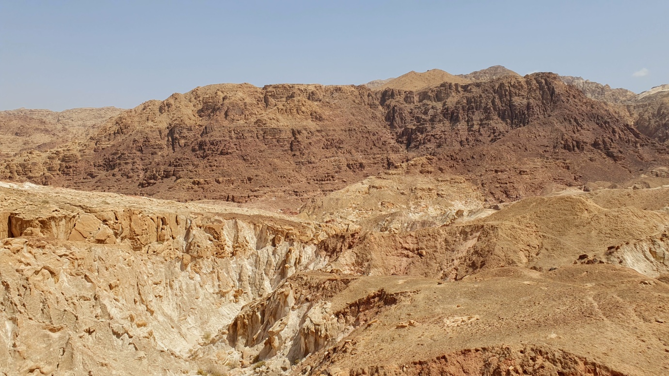
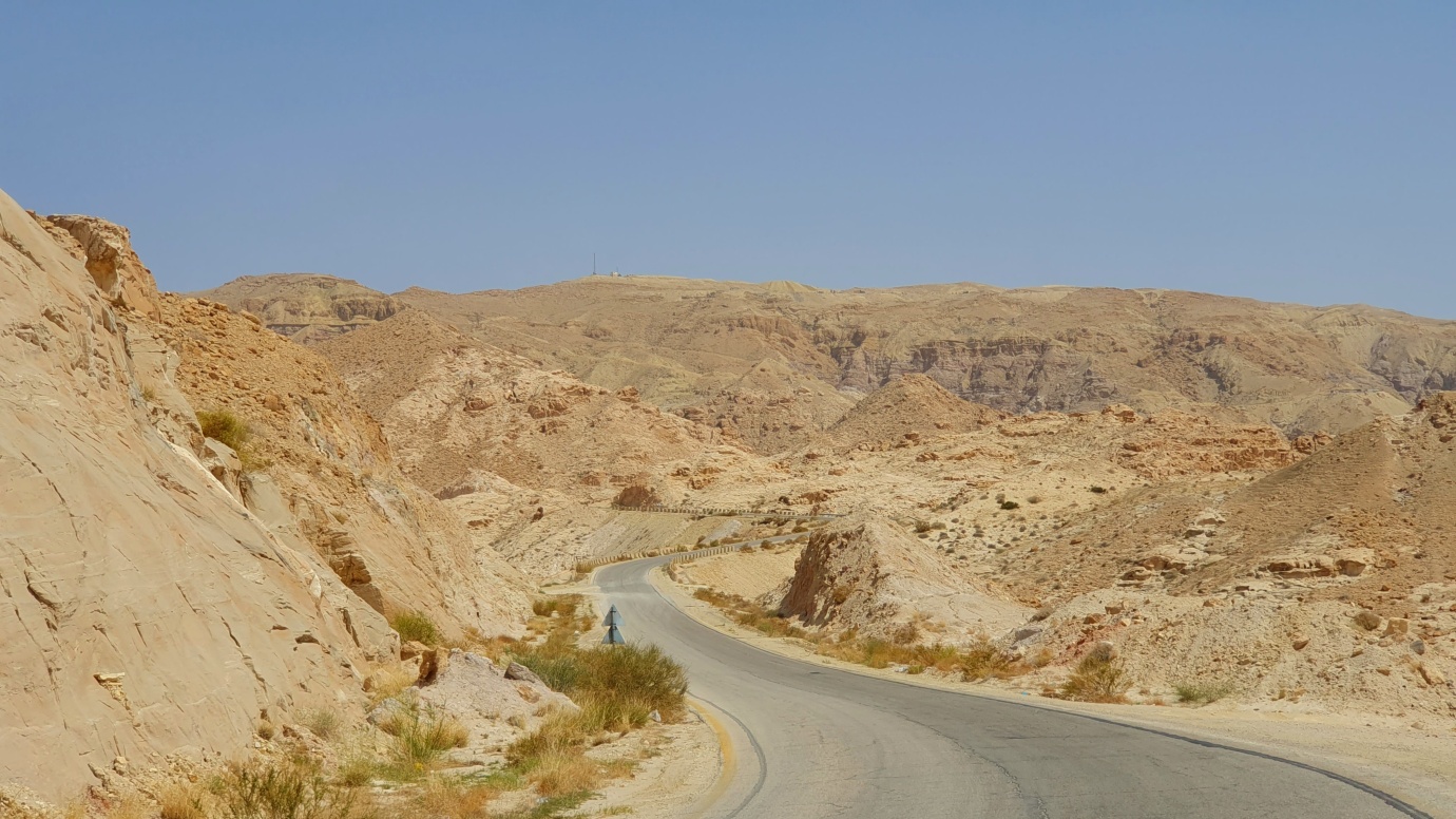
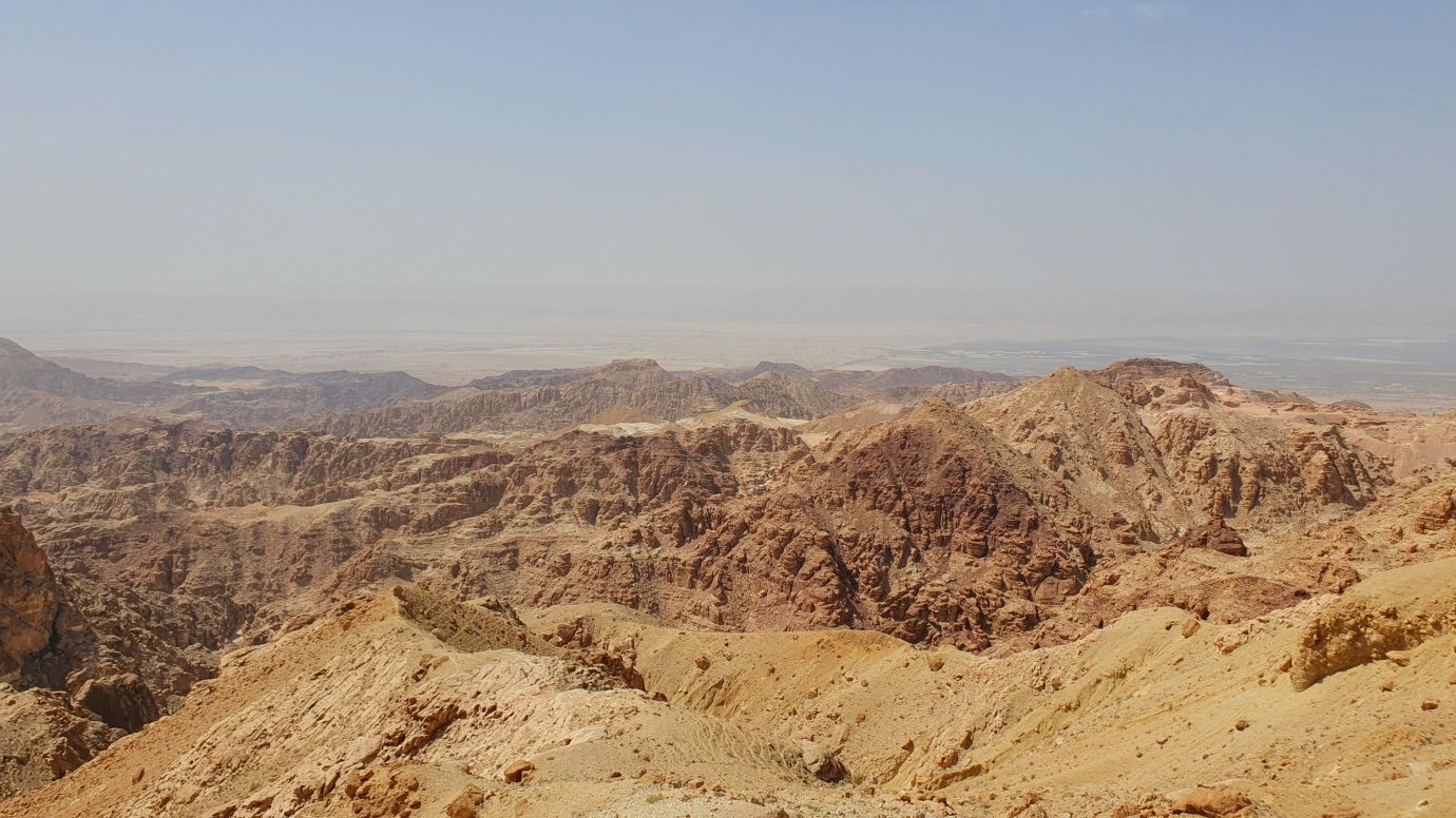
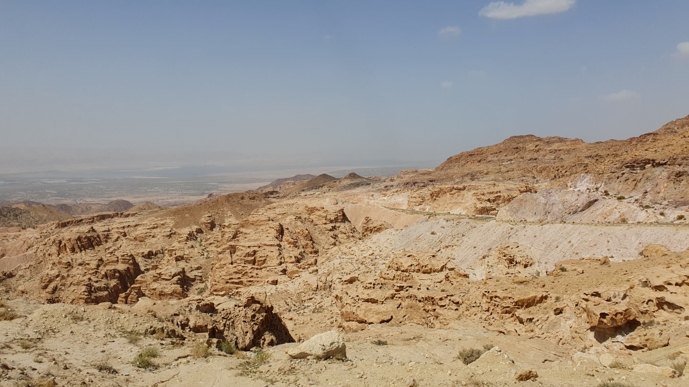
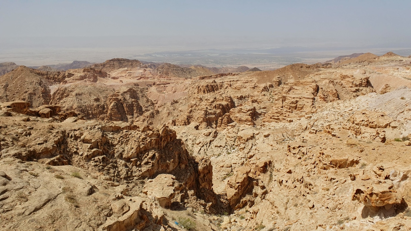
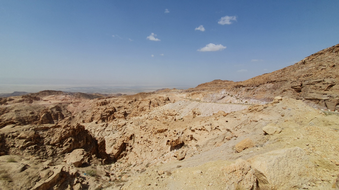
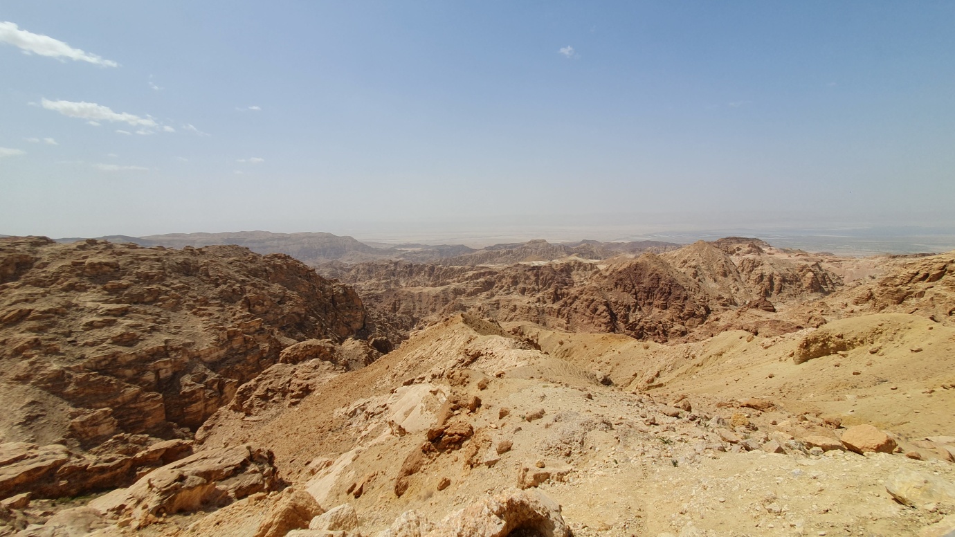
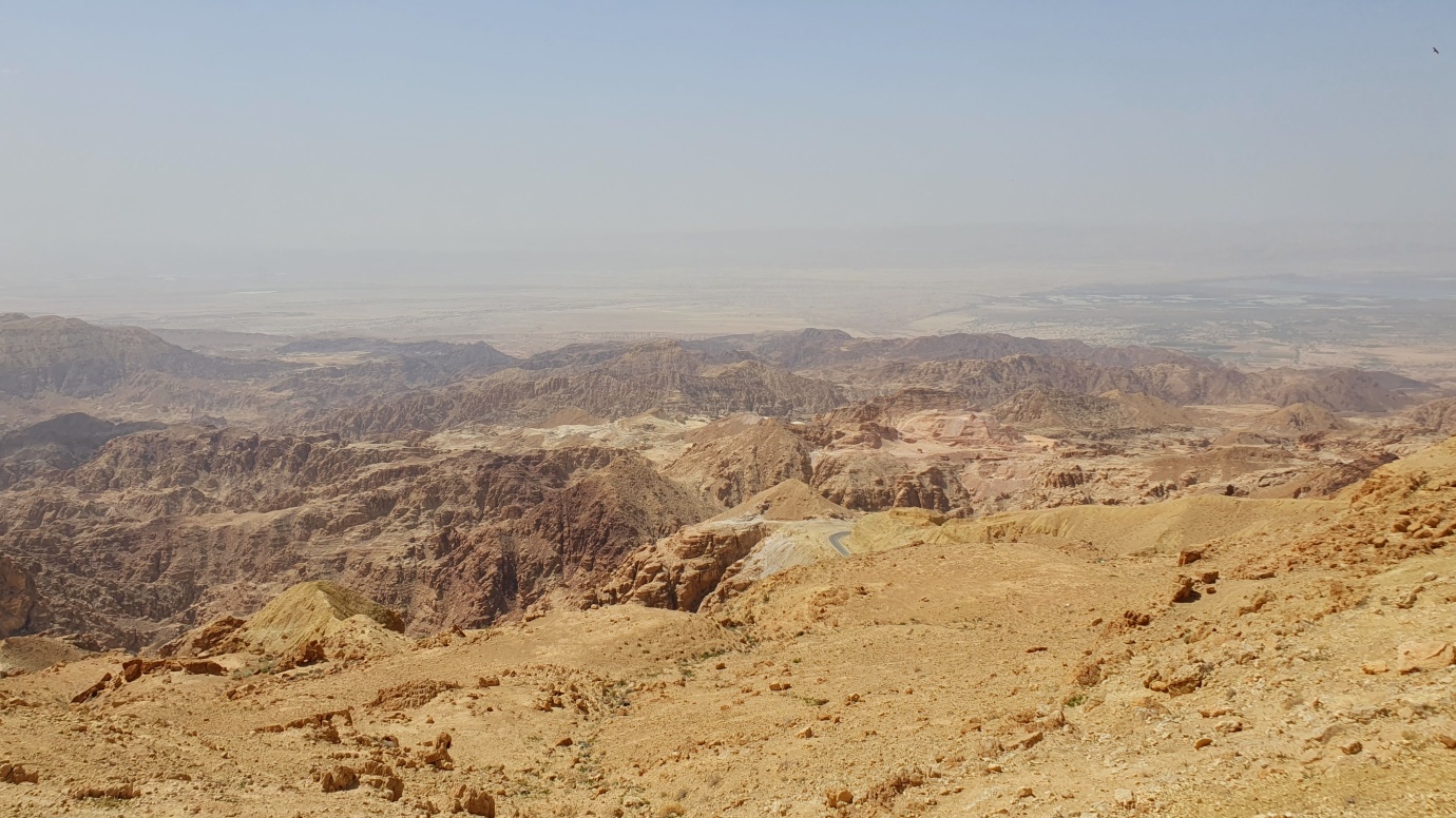
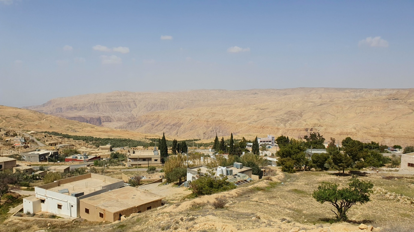
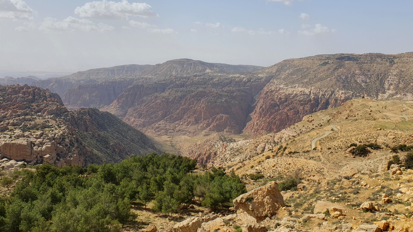
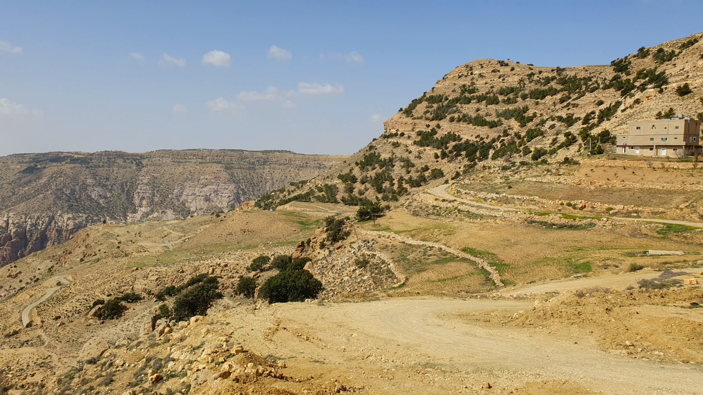
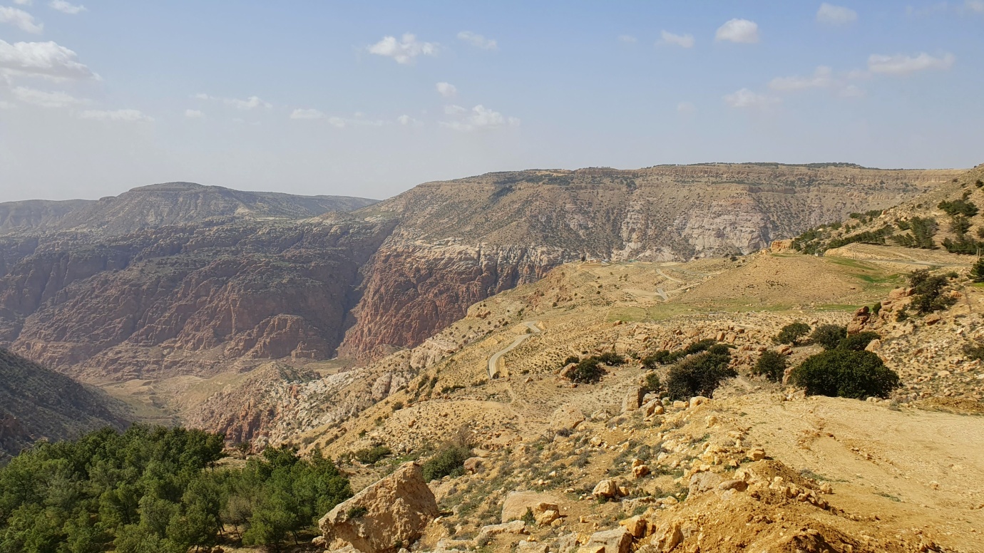
After the “death” Dead Sea, we rushed to Petra to use our expensive Jordan Passes before their expiry. So we took a scenic route through the Moab Mountain Ridge and the Highlands, where slopes drop steeply 1,000 meters or more towards the Dead Sea Rift. This region is intersected at several points by deep wadis, such as the Wadi Mujib and Wadi Yabes, shaped like canyons.
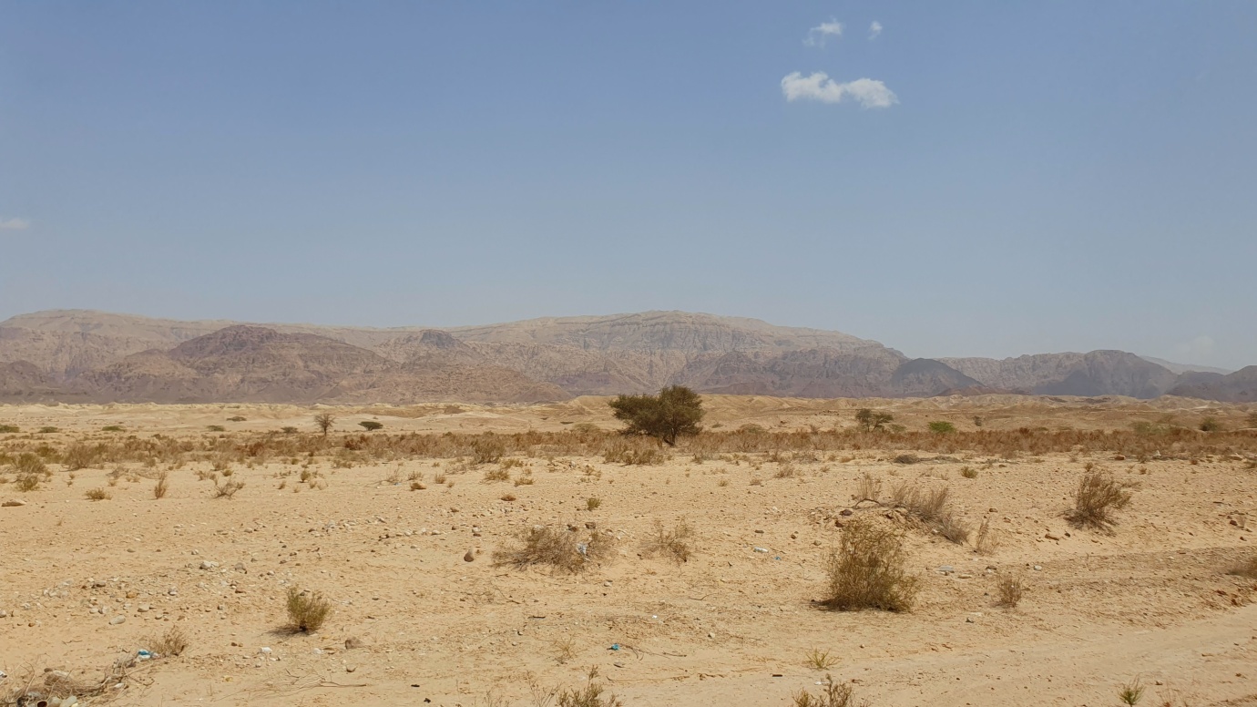
The Jordanian Highlands extend about 300 km north to south. The highlands are bounded on the north by the deeply incised Yarmouk River valley, which forms part of the border between Jordan and Syria. They extend south to Jordan’s border with Saudi Arabia. The highlands appear as a series of hills from the plateau to the east. To the west, the highlands drop steeply 1,000 meters or more to the Jordan Rift Valley, which contains the Jordan River and the Dead Sea, a saline lake with a surface below sea level.
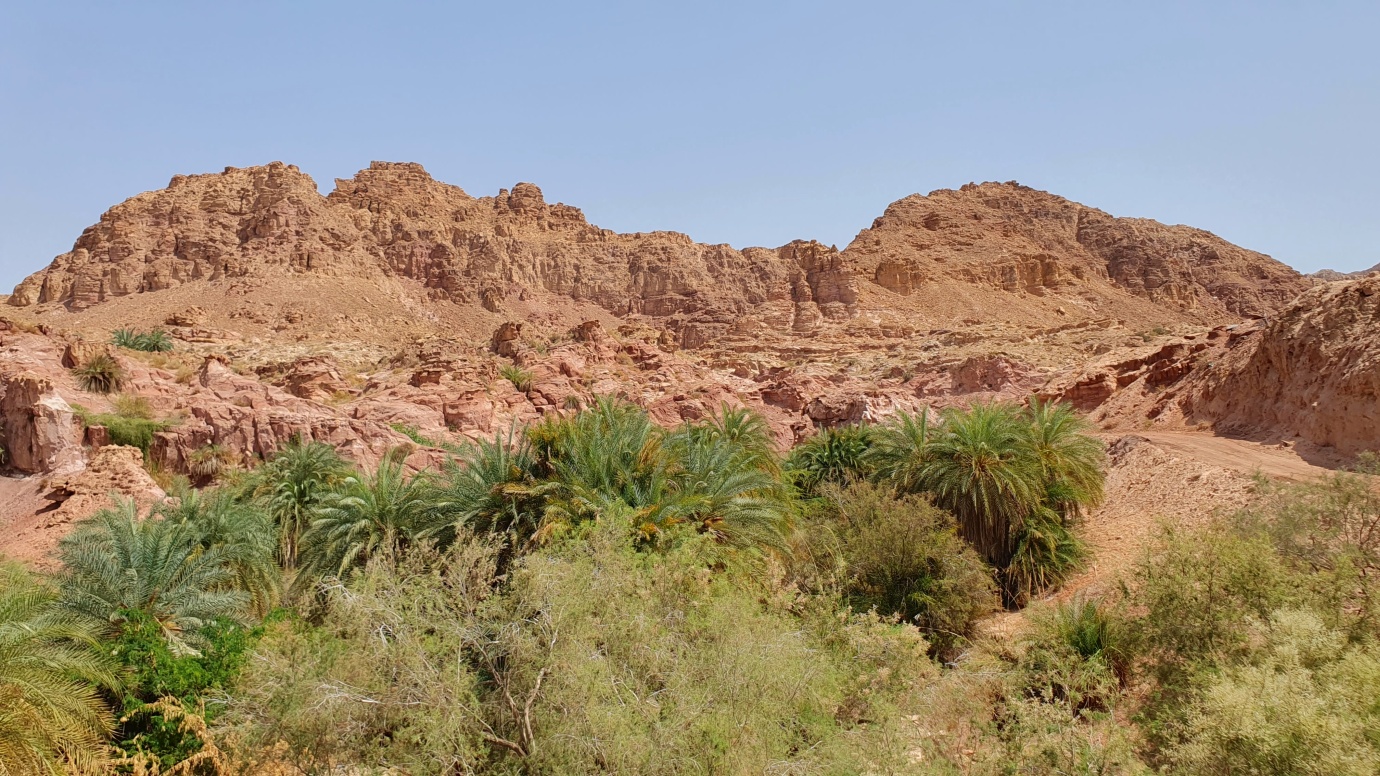
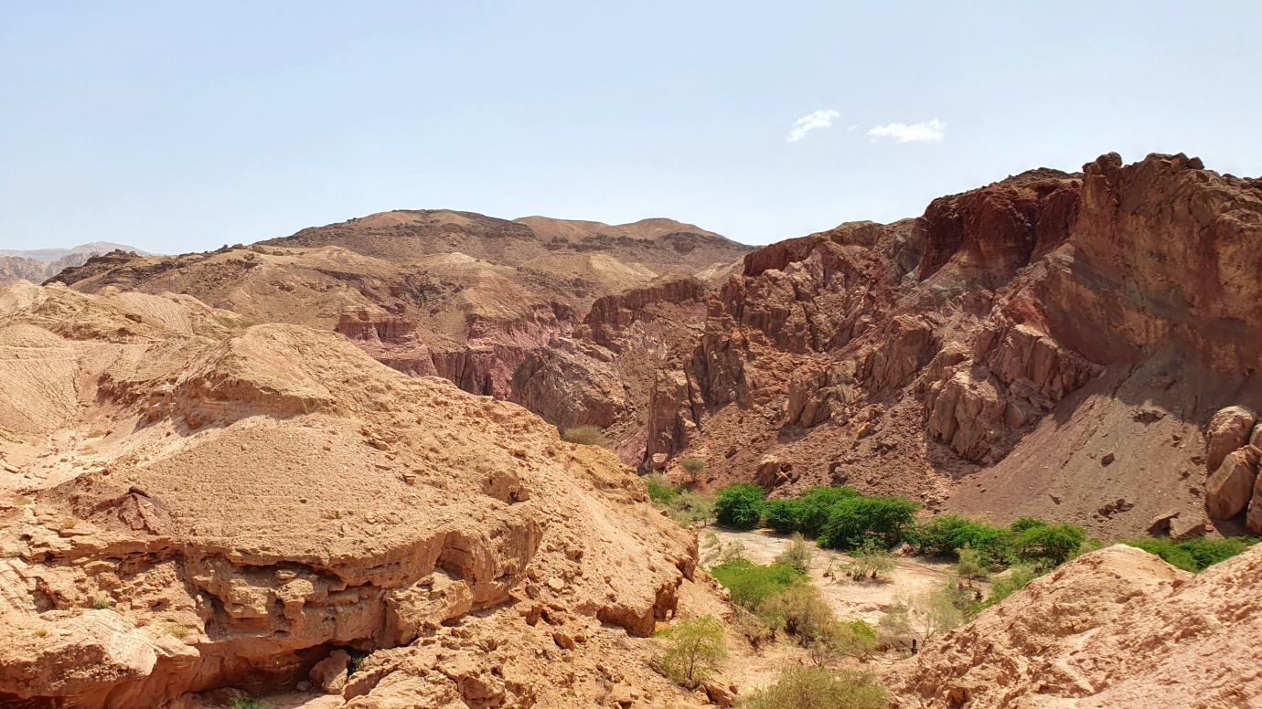
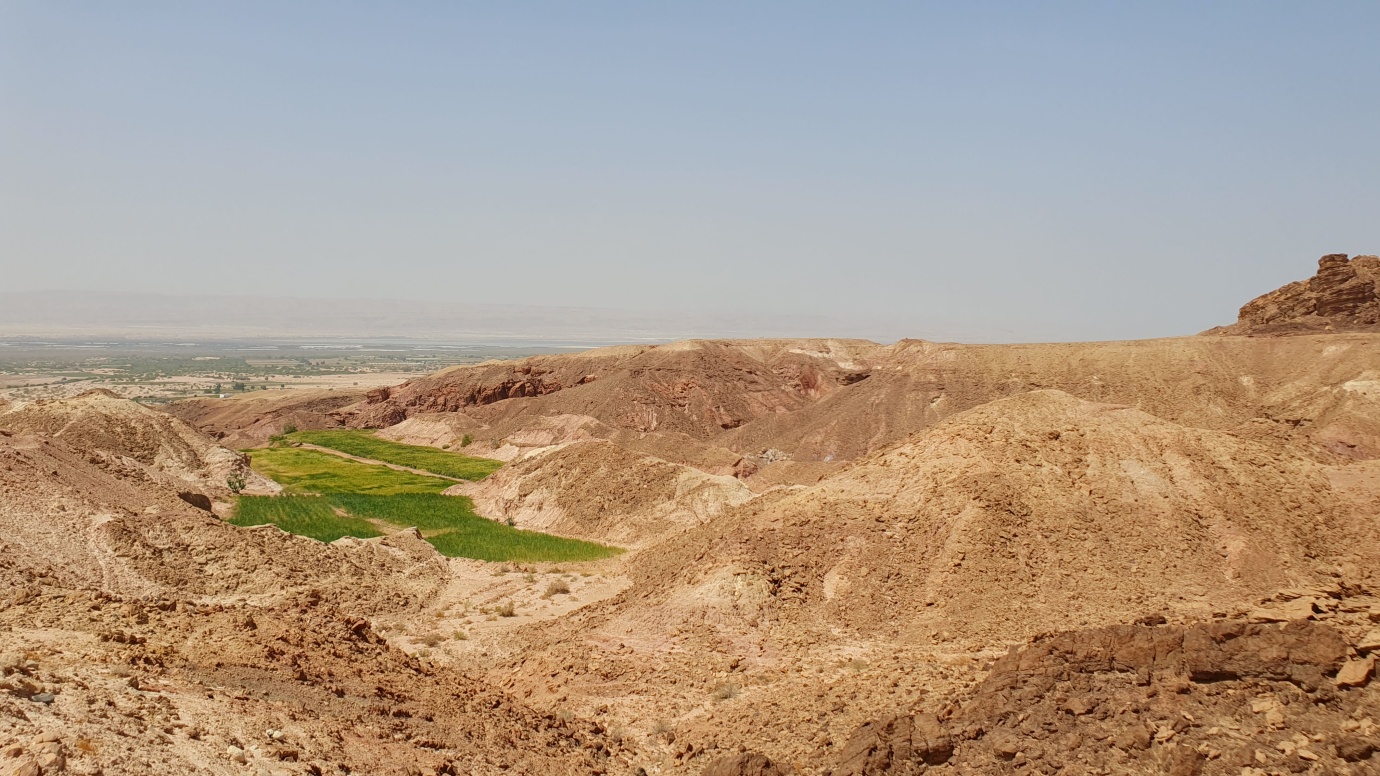
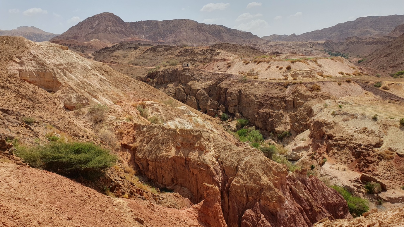
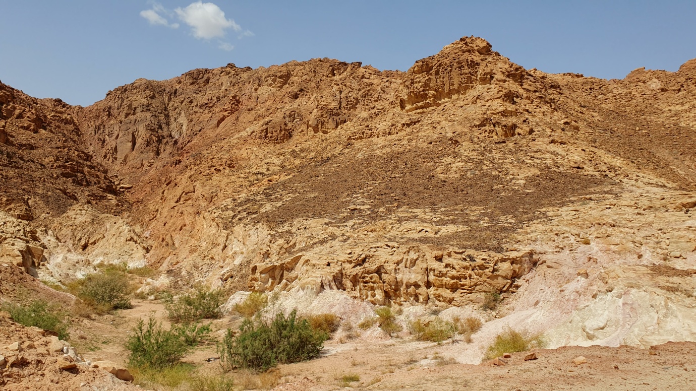
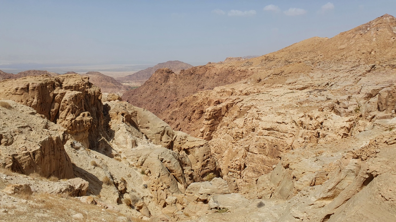
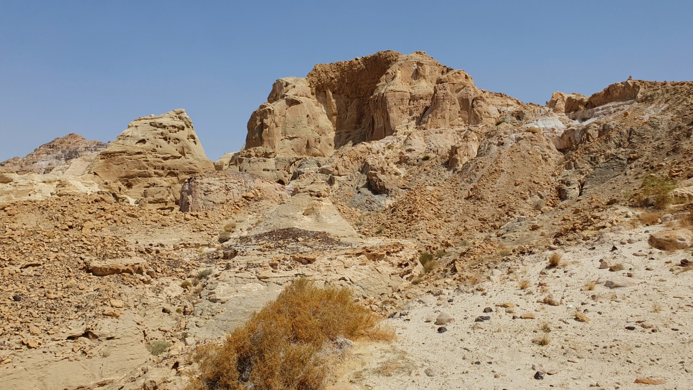
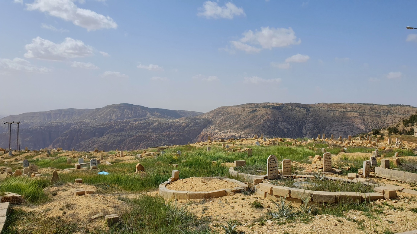
The elevation of the higher peaks ranges from over 1,200 meters in the north to 1,700 meters at Jebel Mubarak in the south. The highlands are crossed by several east–west wadis, or canyons, carved by permanent or intermittent streams. The northern wadis empty into the Jordan River, which flows southward into the Dead Sea. The southern wadis empty into the Wadi Araba, which flows northward into the Dead Sea.
The highlands are divided into three main portions. The northern portion lies between the Yarmouk River on the north and the Zarqa River on the south. Irbid, Jordan’s second-largest city, and Ajloun are the largest cities in this portion.
The central portion is the Balqa Heights, which extends from the Zarqa River south to Wadi al-Mujib. Amman, Jordan’s capital and largest city, is in this portion, as are the towns of Al-Salt and Madaba.
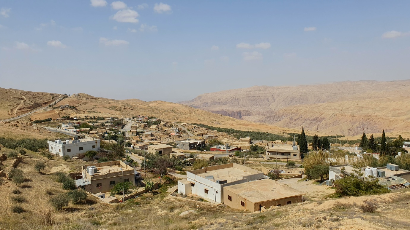
The southern portion is called the Bilad al-Sharat or Jabal al-Sharat. Al-Karak is the largest city in this portion, near the southern end of the Dead Sea. The ancient city of Petra is also in this portion of the highlands, on the western side of the highlands facing Wadi Araba.