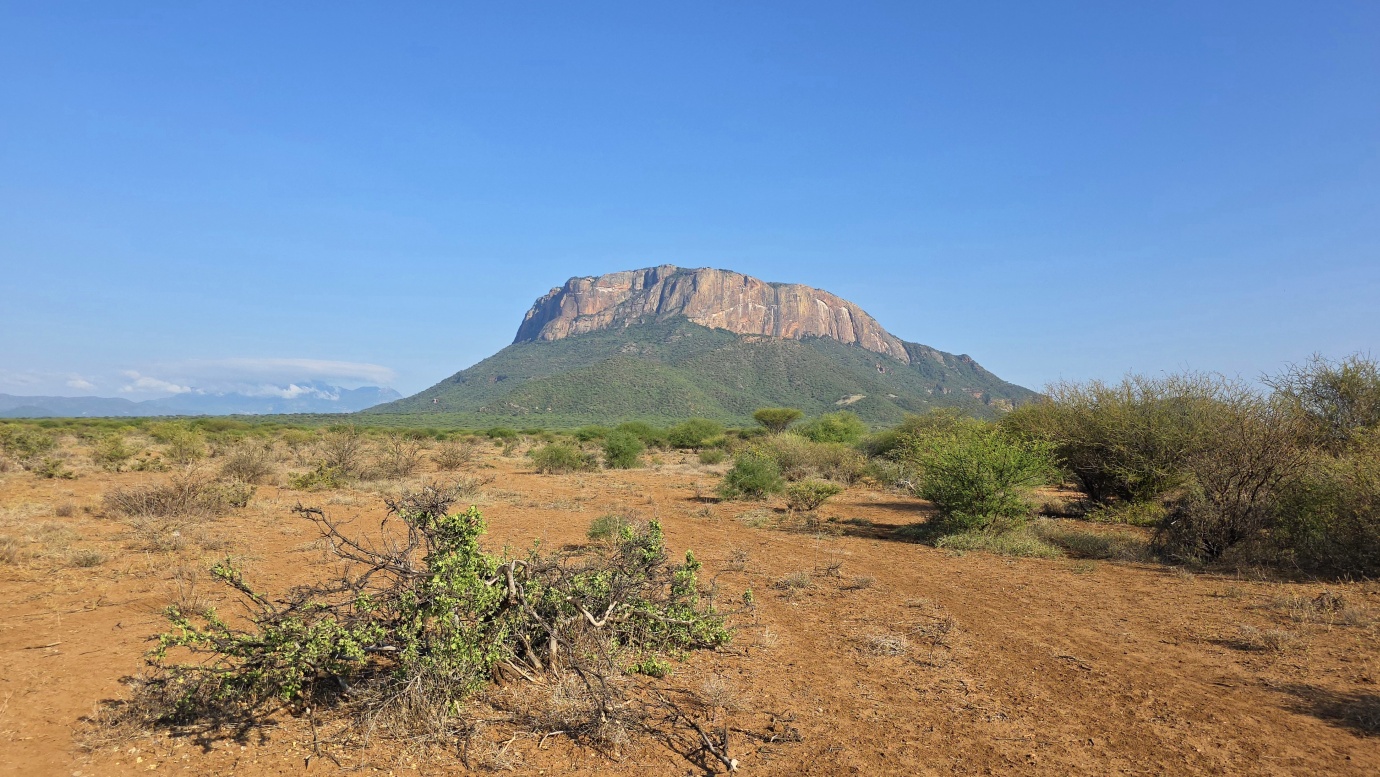
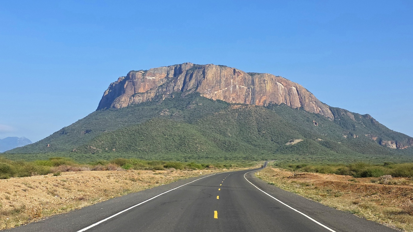
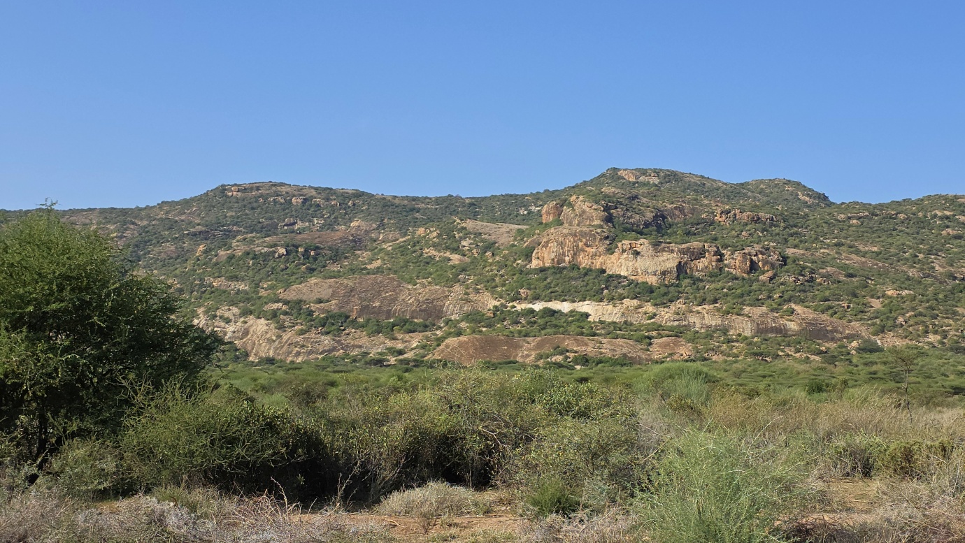
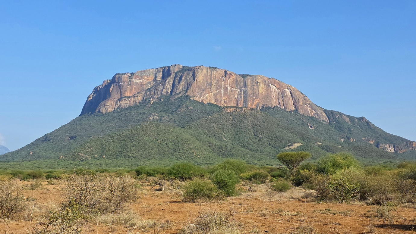
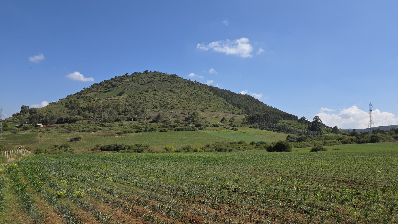
Today we woke up really early to drive at 06:00 towards Isiolo and Archer’s Post, the gateway to the Samburu region. It took us around three hours to get there. We went through heavy army checkpoints up to Mount Ololokwe, a distinctive, flat-topped mountain with a sheer rock face that makes it a striking landmark visible from the Isiolo-Marsabit highway. It is considered sacred by the local Samburu people, who use it for cultural ceremonies, prayers, and as a vital water source for their livestock. Then, we spent a whole day around the Samburu villages.
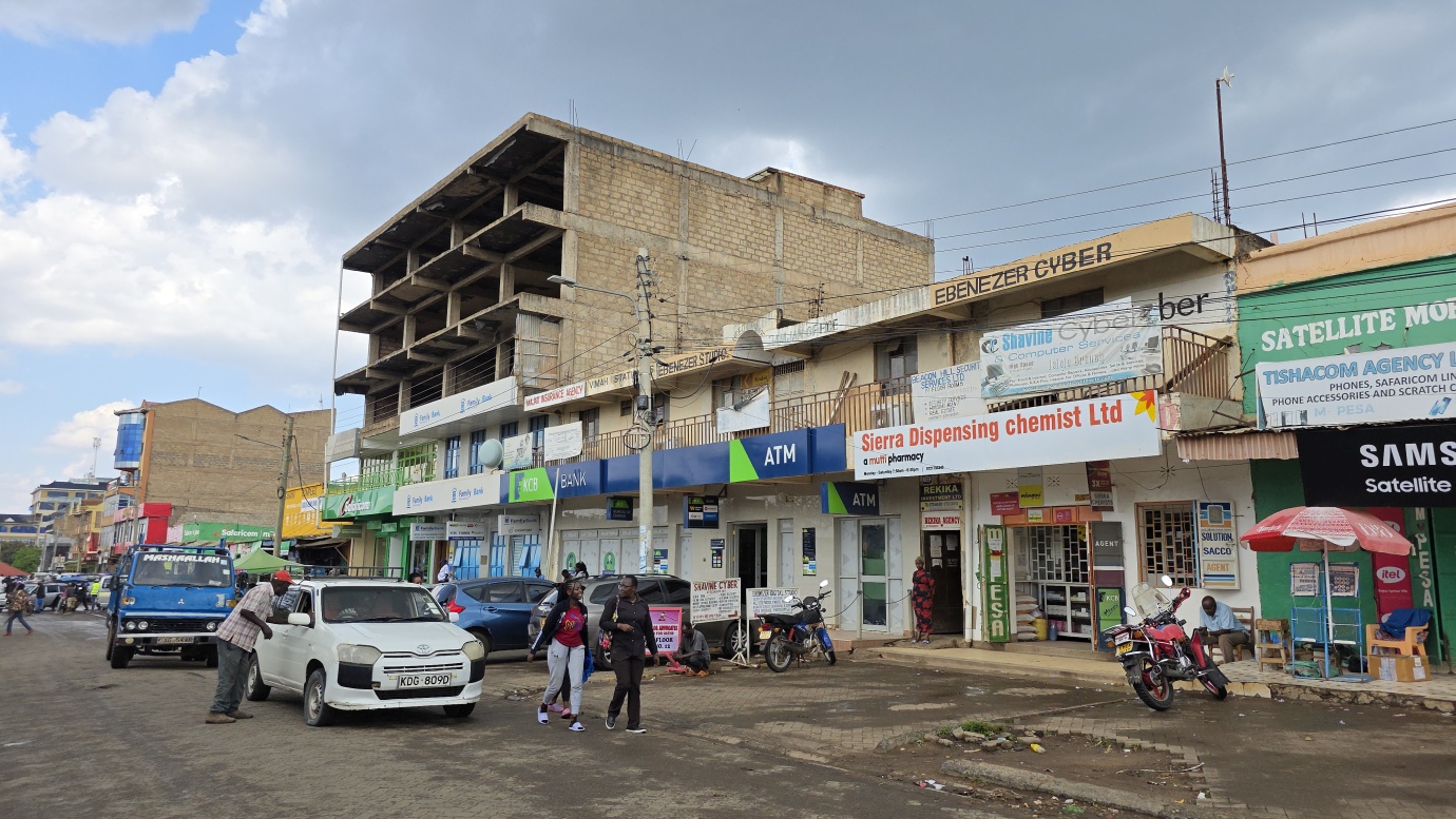
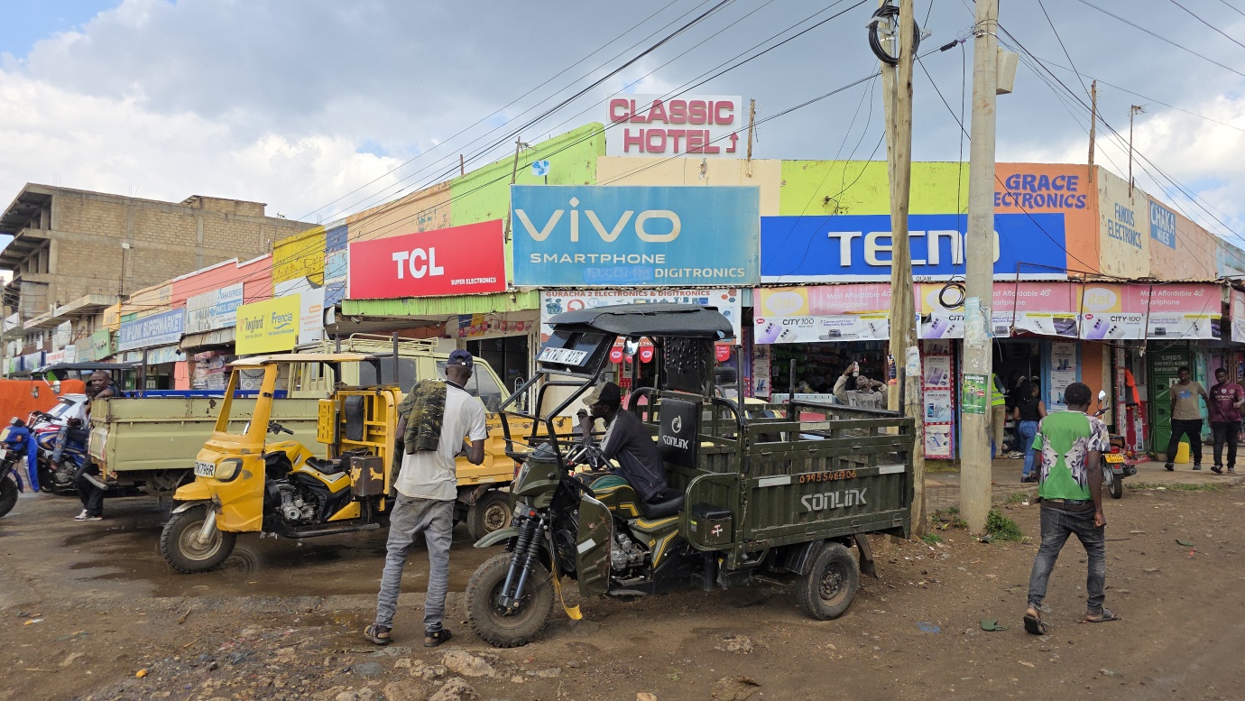
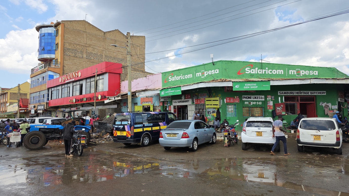
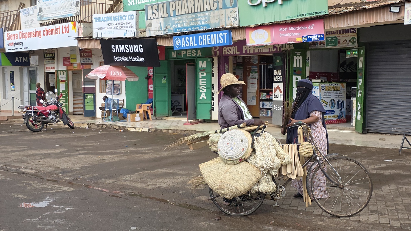
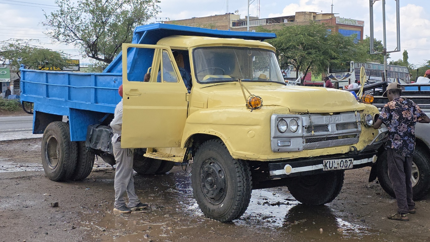
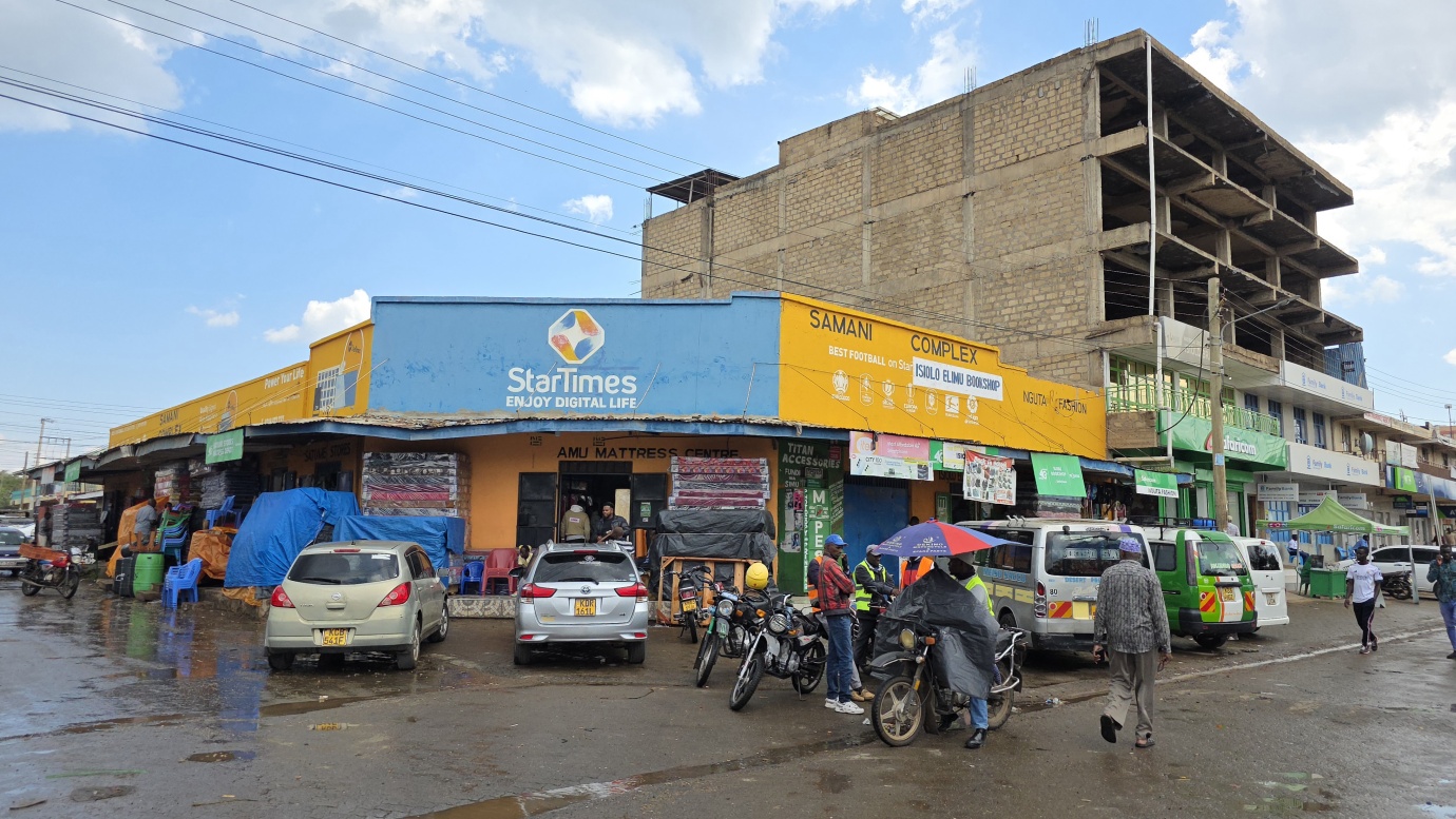
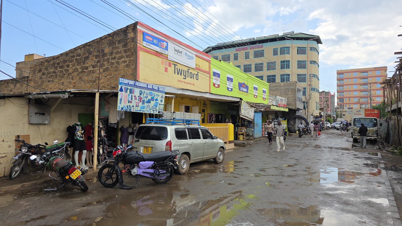
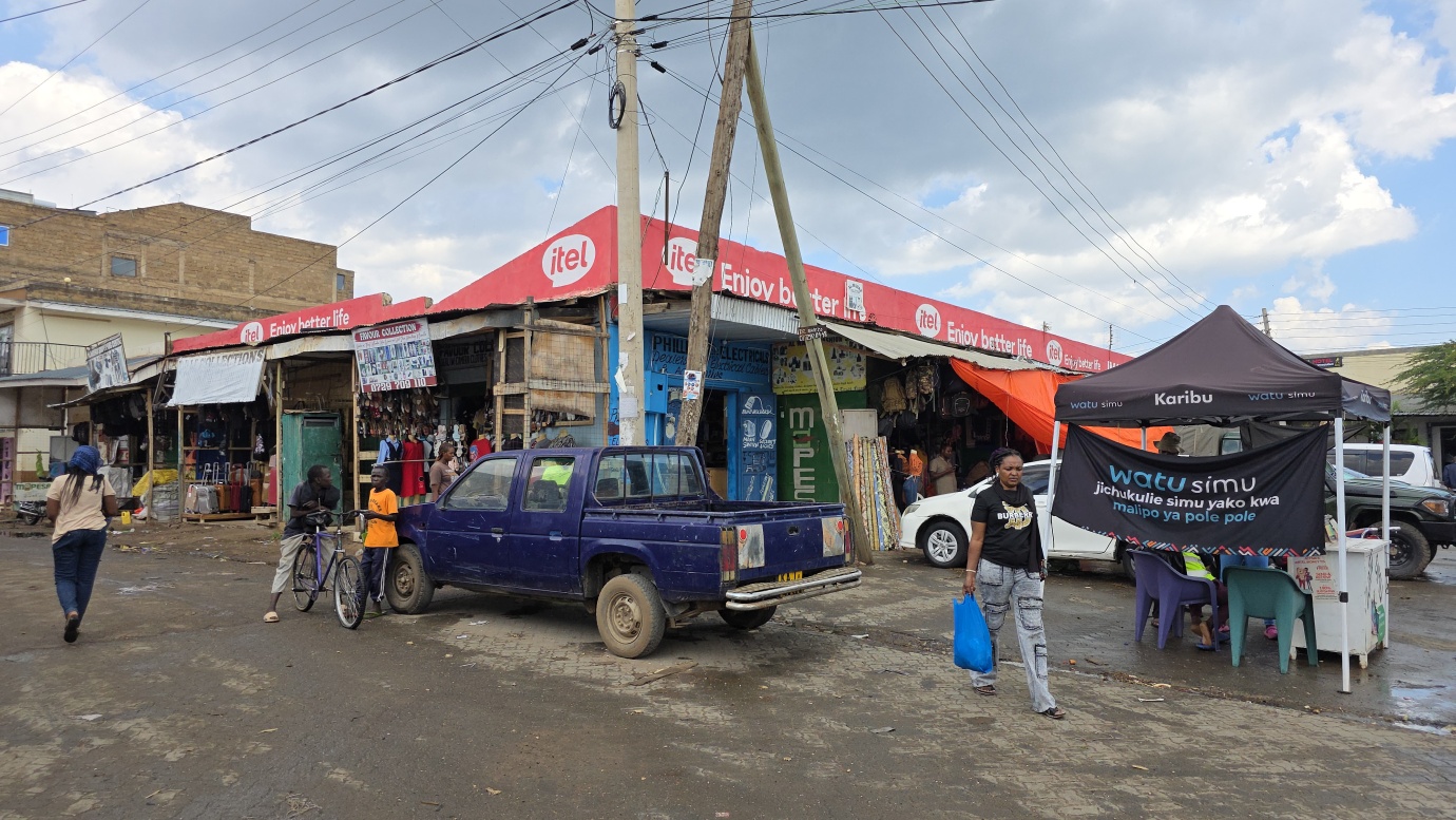
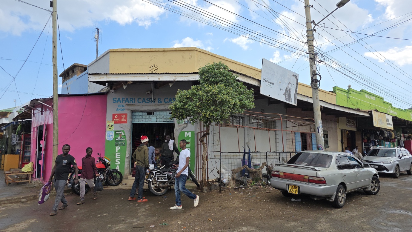
On the way back, we stopped in Isiolo, located on the plains with an arid-to-semiarid climate, near the Mt. Kenya highlands. The town’s altitude is around 1100 meters. Isiolo is considered the geographical centre of Kenya. Isiolo’s history is marked by its colonial administrative origins, its central role in the pastoralist economy of northern Kenya, and its complex ethnic and land-related conflicts. Initially established in the early 1900s as a colonial outpost and administrative district, it later became the capital of Isiolo County following the 2010 constitution. The area has been shaped by the settlement and interaction of various tribes, particularly the Borana, Samburu, and Ameru, as well as the Somali community in the town, and has faced ongoing challenges with land rights, resource competition, and historical conflicts.