

We spent a day in Maseru, Lesotho’s capital and largest city, on the border with South Africa. The city lies along the Caledon River, which forms part of the western border between Lesotho and South Africa’s Free State. Its name is believed to derive from the Sesotho word for “red sandstone” or “lace of red sandstone”, referring to the distinctive sandstone cliffs and plateaus surrounding the area. At an altitude of around 1,600 metres above sea level, Maseru is also one of southern Africa’s highest-elevation capitals.
King Moshoeshoe I founded Maseru in 1869 as a small police camp after the Free State–Basotho Wars, and that same year it became the capital of the British protectorate of Basutoland. During the Gun War of 1880–1881, much of the town was damaged or burned, but Maseru was rebuilt and restored as the capital when Basutoland became a British Crown Colony in 1884. When Lesotho gained independence in 1966, Maseru retained its status as the national capital. Since then, the city has grown rapidly, expanding beyond its original centre and incorporating surrounding villages to become the country’s main commercial, political, and cultural hub.
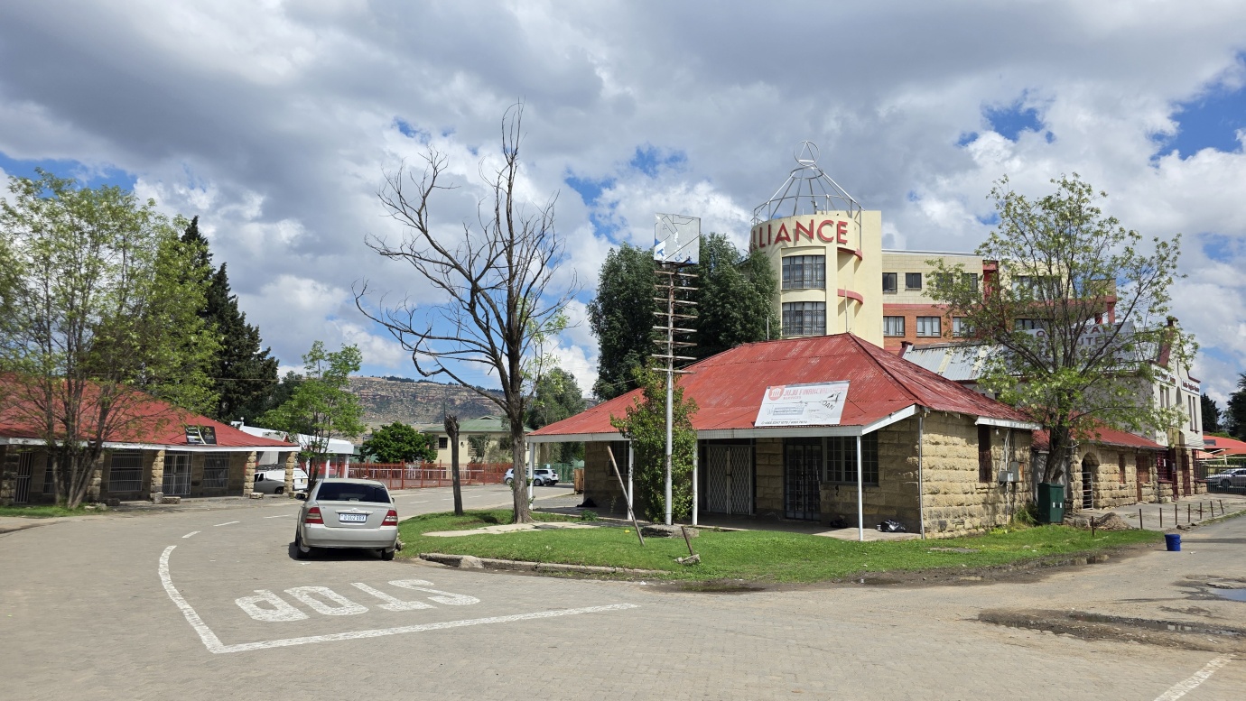
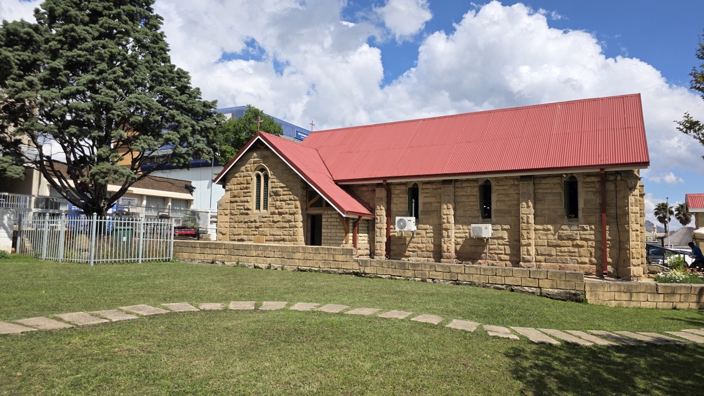
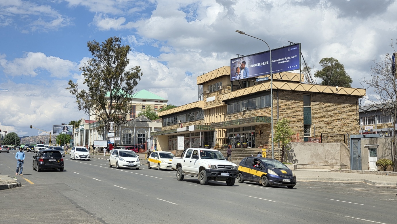
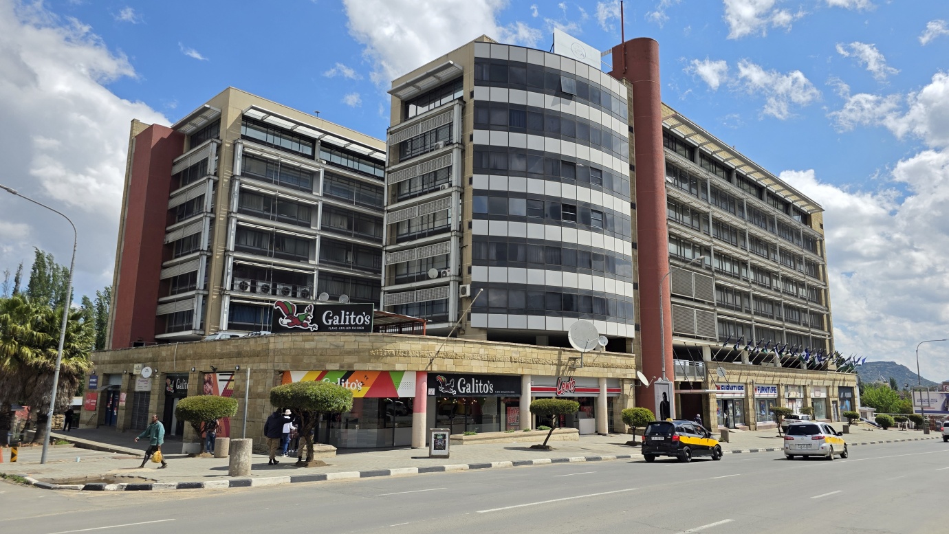
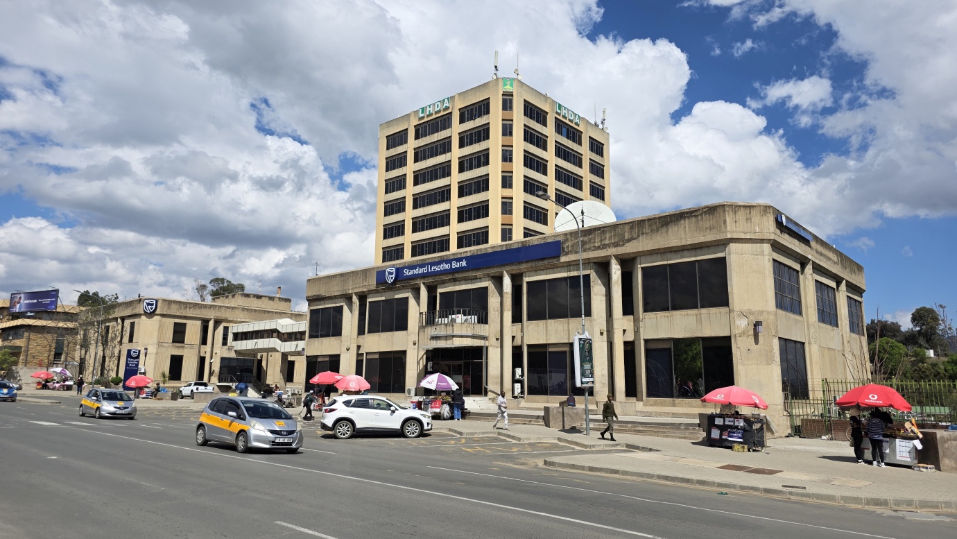
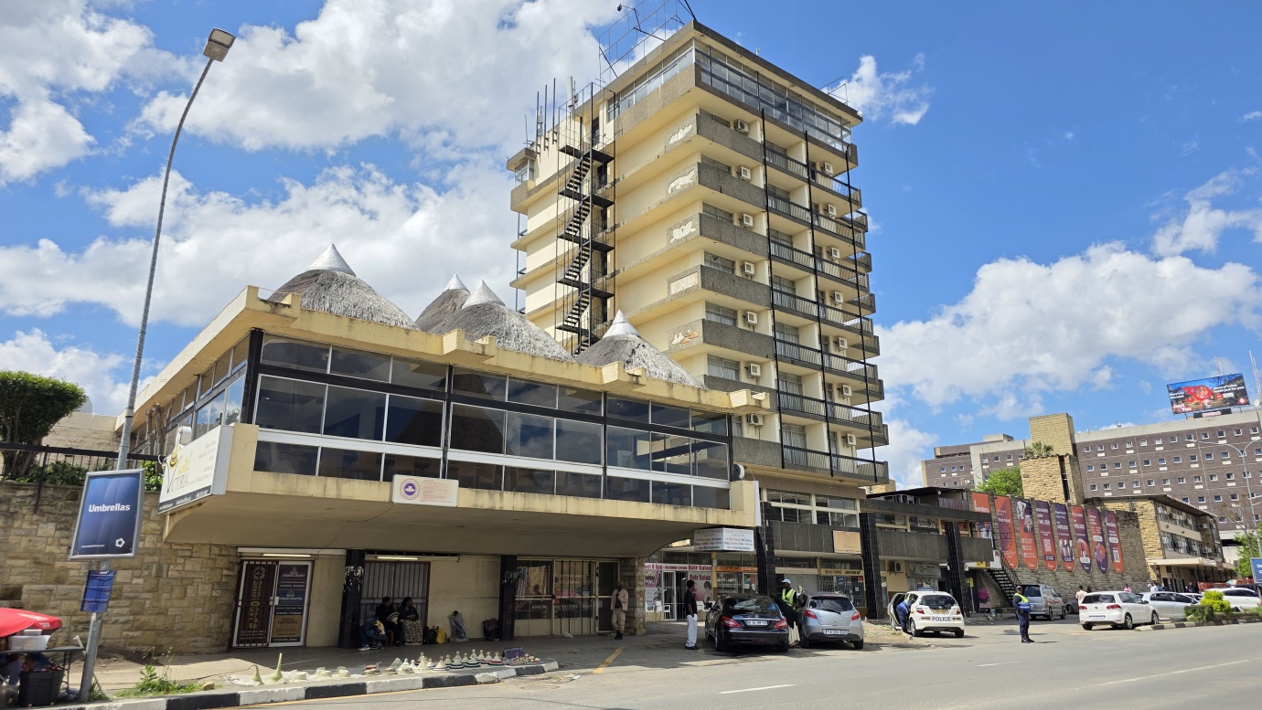
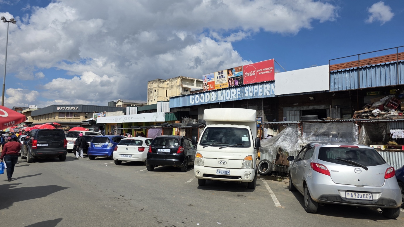
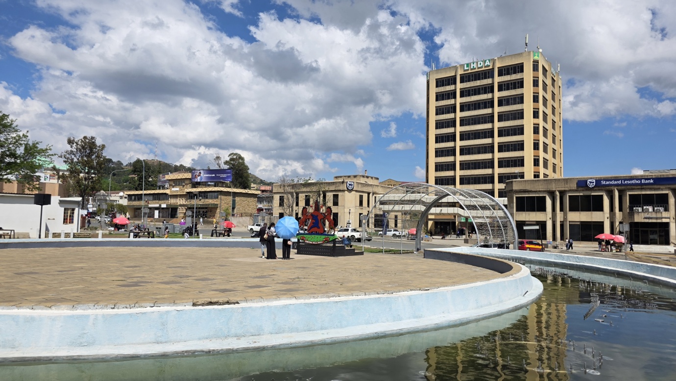
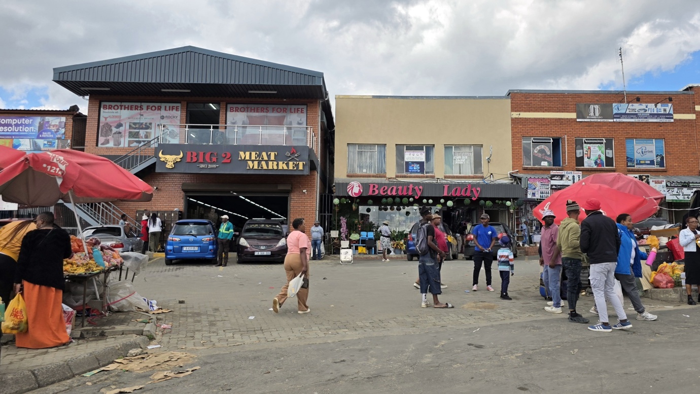
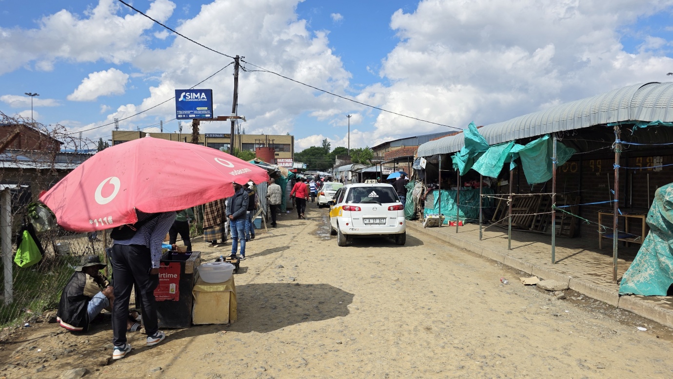
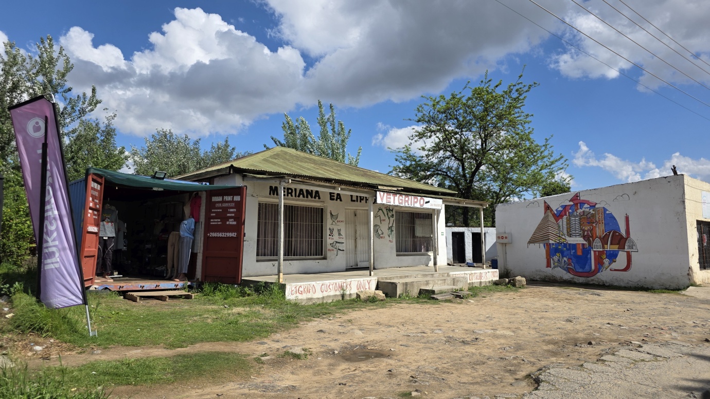
Despite this history and its status as a national capital, Maseru still feels like an oversized village rather than a major African city. There aren’t many traditional sightseeing attractions, so we took the day at a relaxed pace and explored the centre on foot.
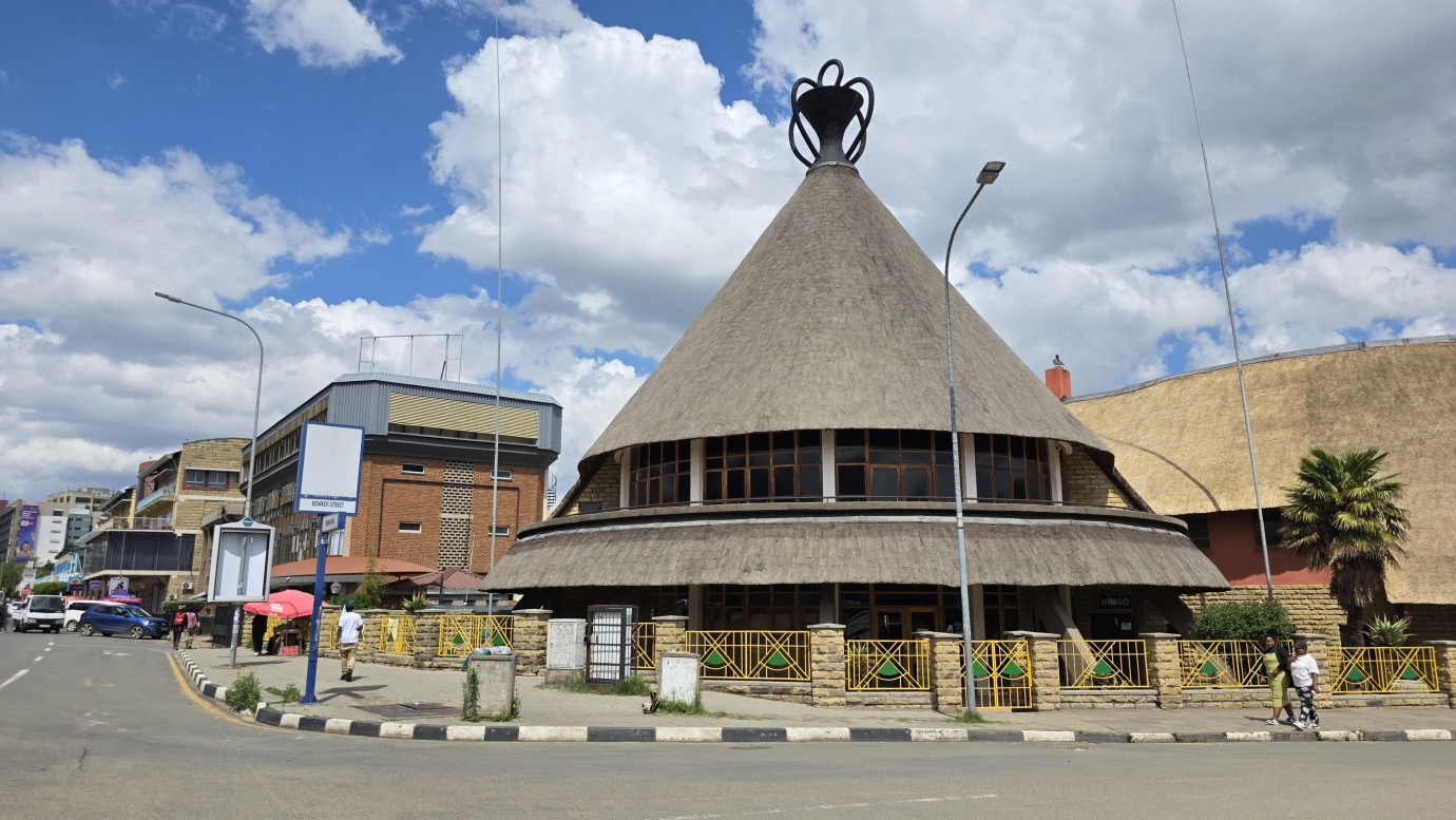
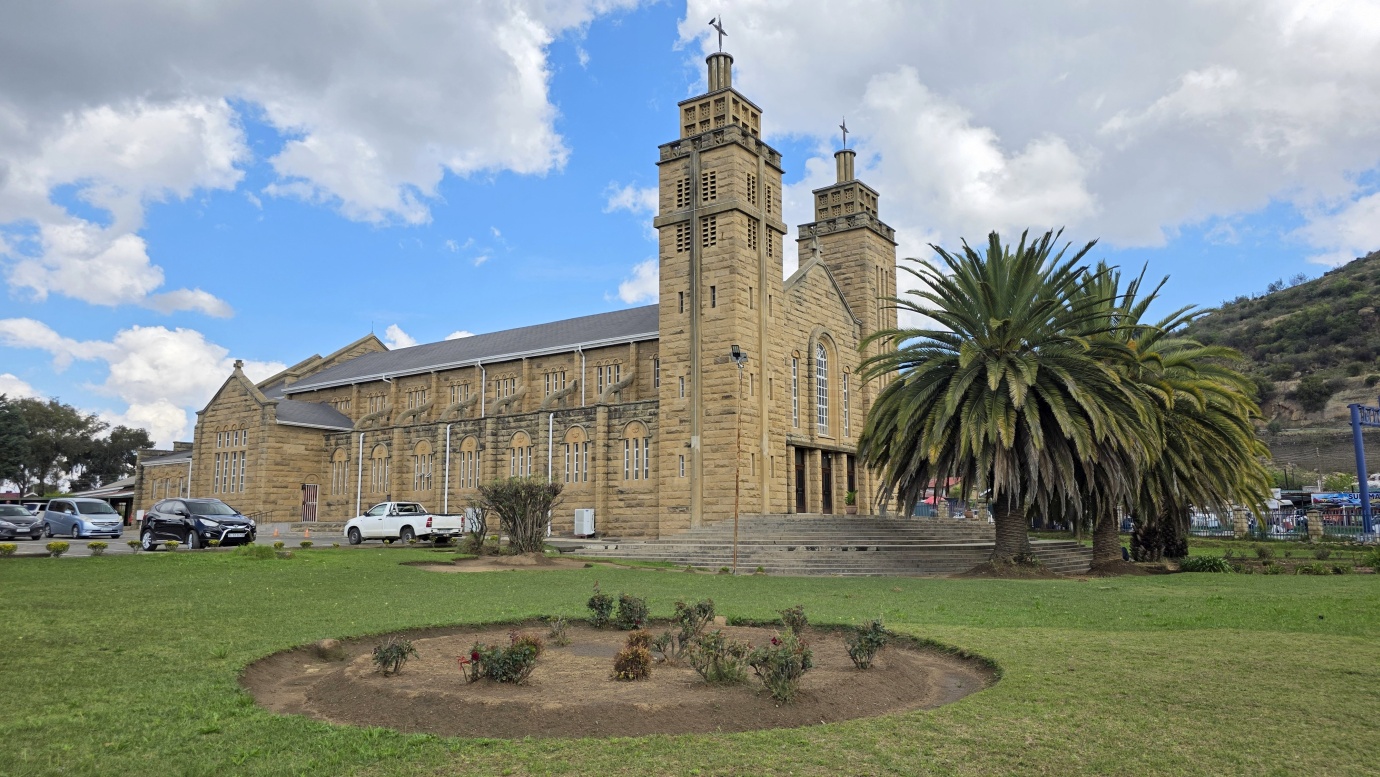
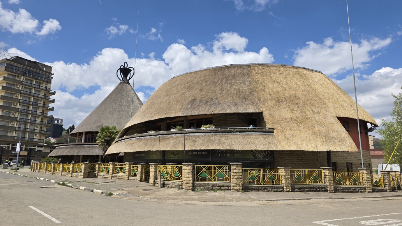
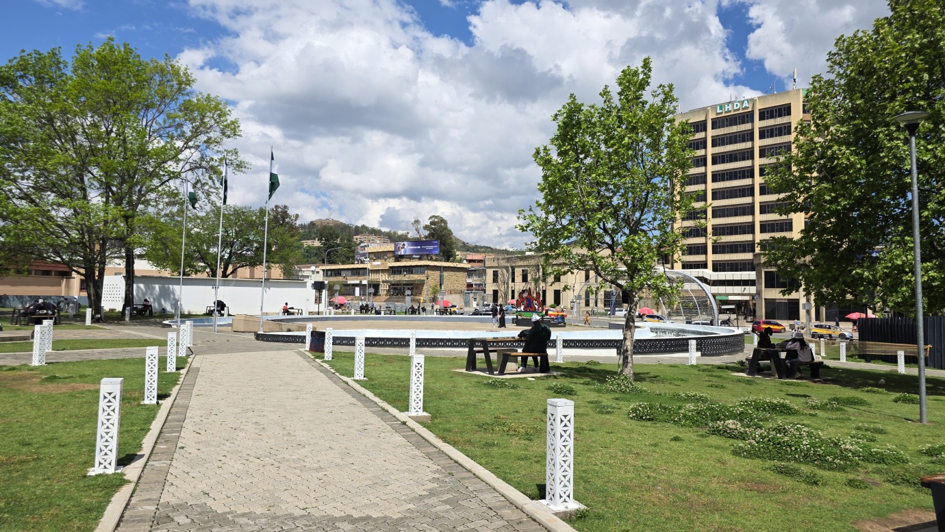
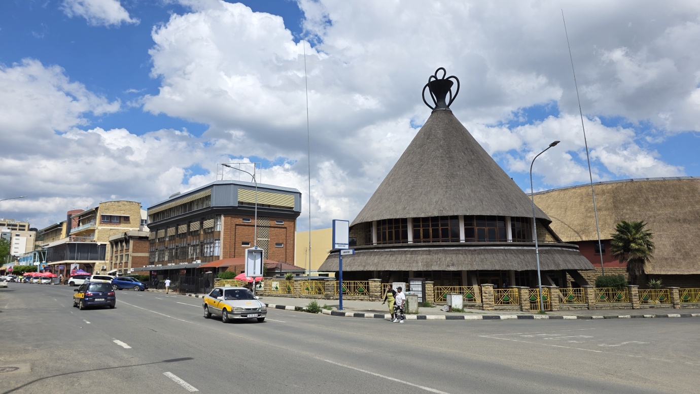
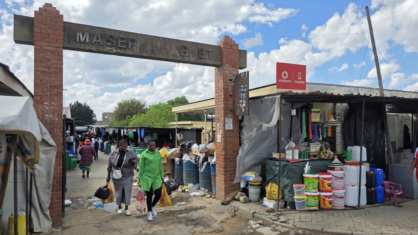
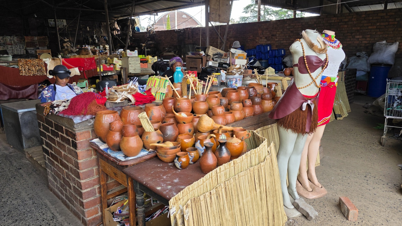
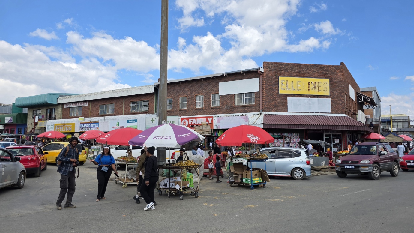
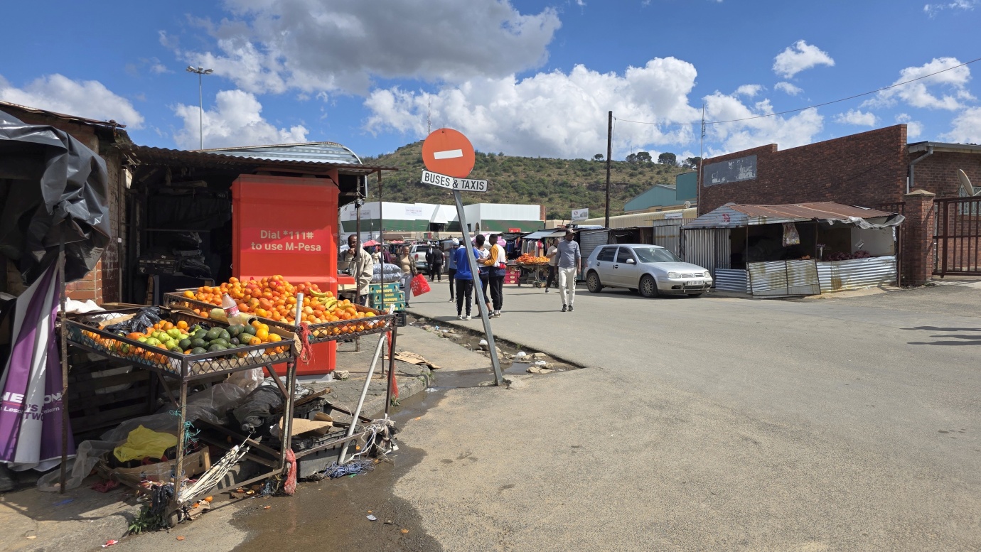
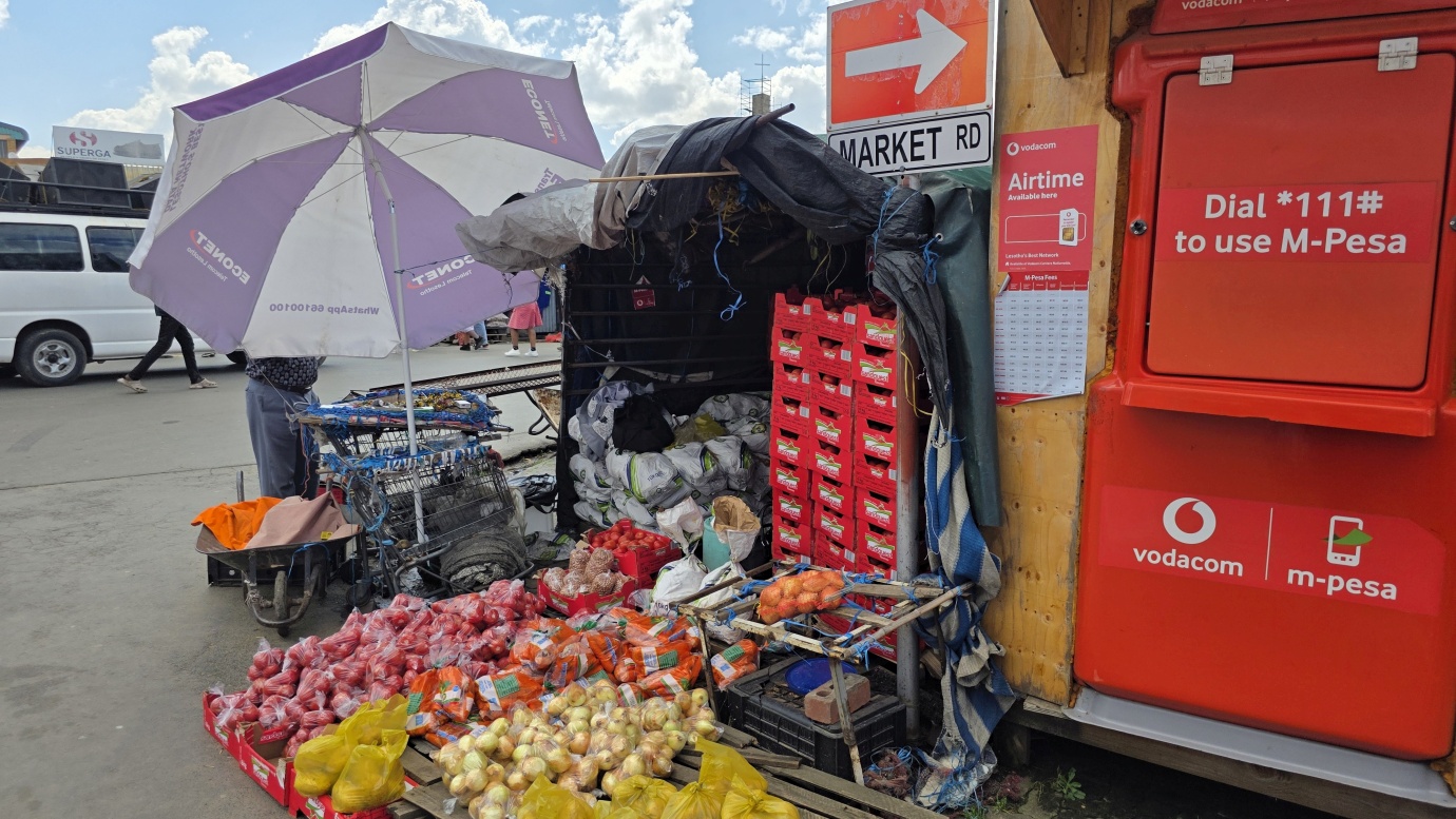
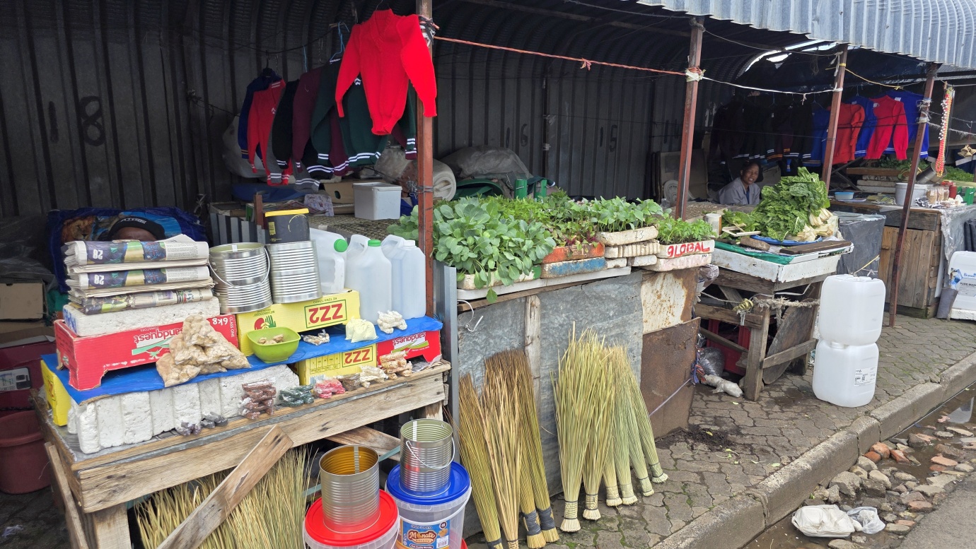
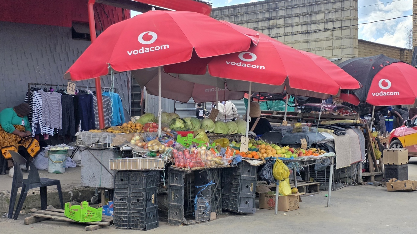
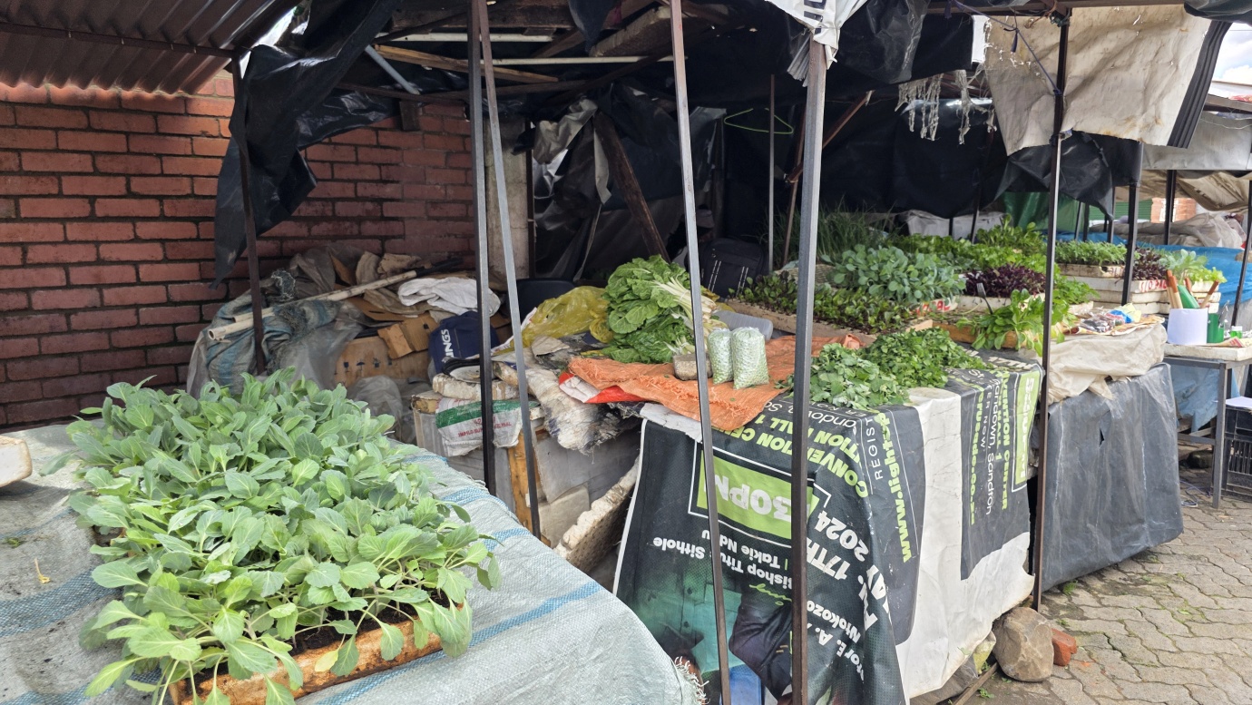
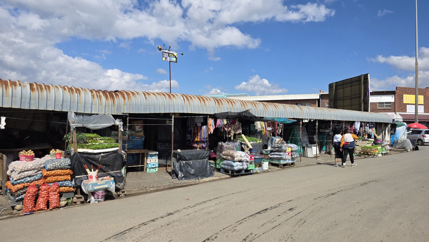
Our short sightseeing walk took us from the Basotho Hat to Central Park, then past Parliament and the Royal Palace, the Cathedral of Our Lady of Victories, Makoanyane Square and finally through Maseru Market — a simple introduction to the capital and everyday life in Lesotho.
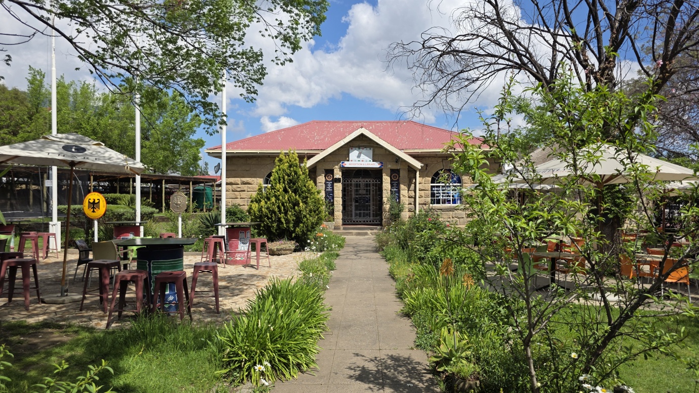
Parking location – Maseru: 29.2966627S 27.5073000E (🚻,🚿,💦,🔌,🅿️150 ZAR/pax)