

Kruger National Park is South Africa’s flagship wildlife sanctuary and one of Africa’s largest game reserves. Spanning nearly 20,000 square kilometres, it forms a vast strip of wilderness along the country’s northeastern border. While the southern and central sections are famous for their high wildlife density, frequent predator sightings, and heavier tourist traffic, the northern part of Kruger offers a radically different experience—characterised by rugged, remote landscapes, distinctive plant communities, rich archaeological history, and a more exclusive, truly wild atmosphere.
The park contains more than 300 archaeological sites. In the northern reaches, researchers have found evidence of Homo erectus dating back around 500,000 years, along with Late Stone Age tools and ancient San rock art. The far north was also home to the thriving Thulamela culture, which flourished between the 13th and 17th centuries. Archaeologists have uncovered gold, copper, Chinese porcelain, and Indian glass beads in the Limpopo Valley, demonstrating that this region was an important part of a vast historical trade network stretching across the Indian Ocean.
The reserve’s origins date back to a motion by Jakob Louis van Wyk in 1895, which eventually led President Paul Kruger to proclaim the Sabi Game Reserve in 1898. The reserve was established to halt the unchecked destruction of wildlife in the Lowveld. It later merged with surrounding protected areas and officially became South Africa’s first national park in 1926, opening to the public the following year.
During the 1960s and 1970s, the South African government faced considerable pressure to open the northern part of Kruger to coal mining. Conservationists successfully resisted these plans, permanently protecting the region from large-scale mining. Today, Kruger also forms part of the Great Limpopo Transfrontier Park, an international conservation area linking it with protected areas in Mozambique and Zimbabwe.
The northern region stretches from the Olifants River to the Limpopo River, which forms the natural northern border between South Africa and Zimbabwe. Its eastern edge follows the rugged Lebombo Mountains along the Mozambican border. Far northern Kruger lies within the Limpopo Mobile Belt, a major geological zone formed where ancient continental crusts meet. This complex geology has contributed to the region’s natural subterranean hot springs.
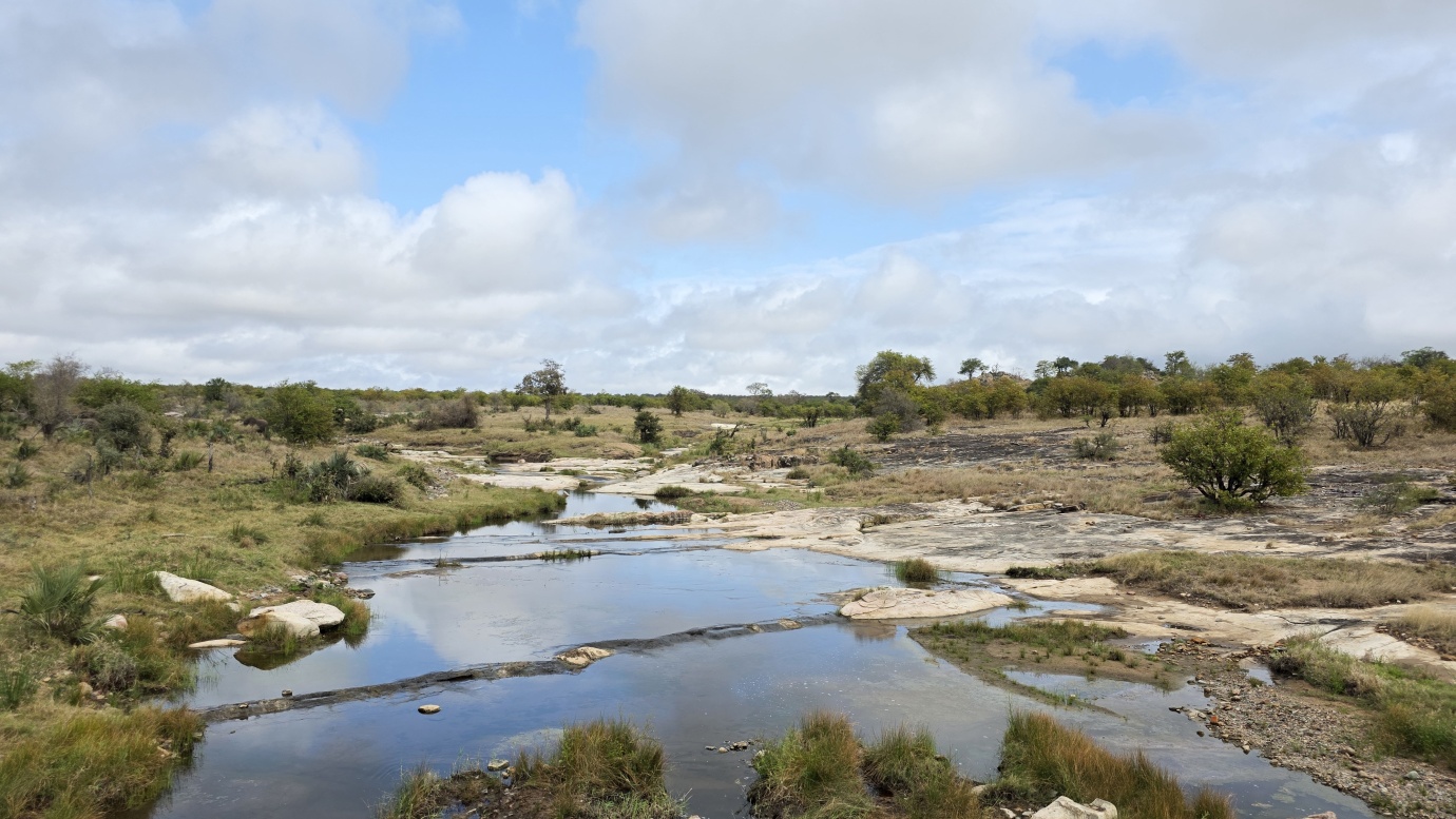
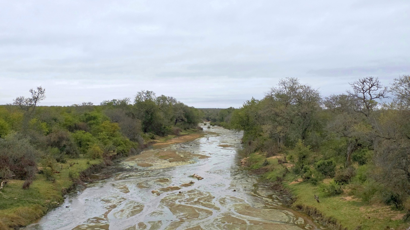
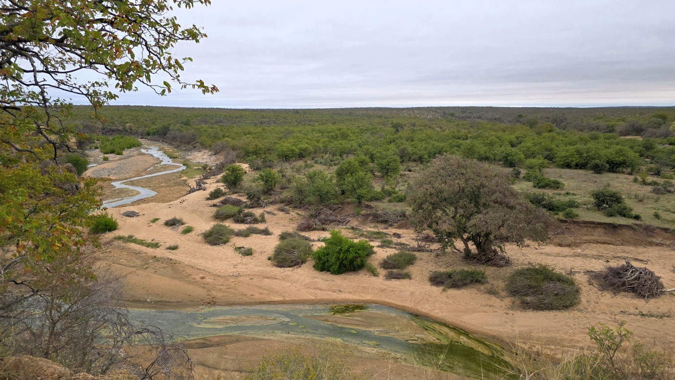
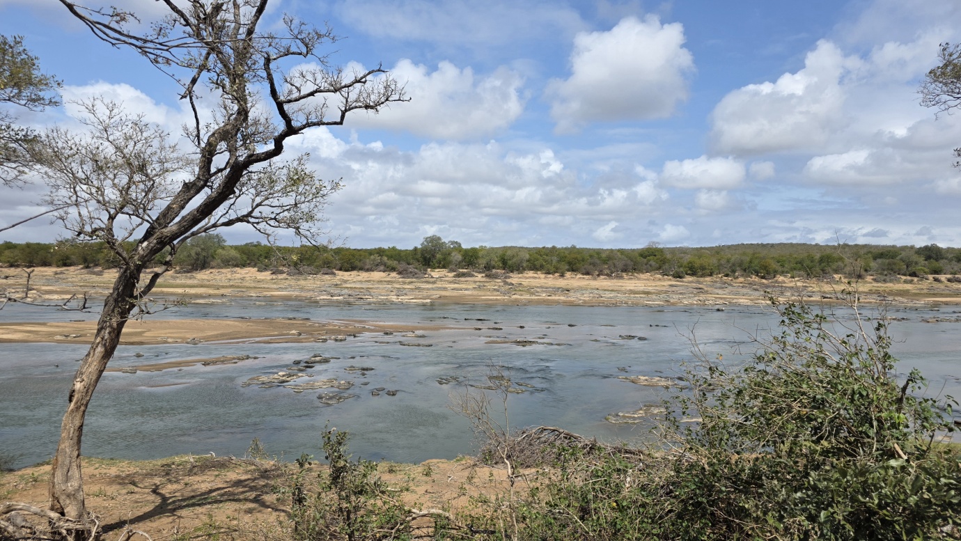
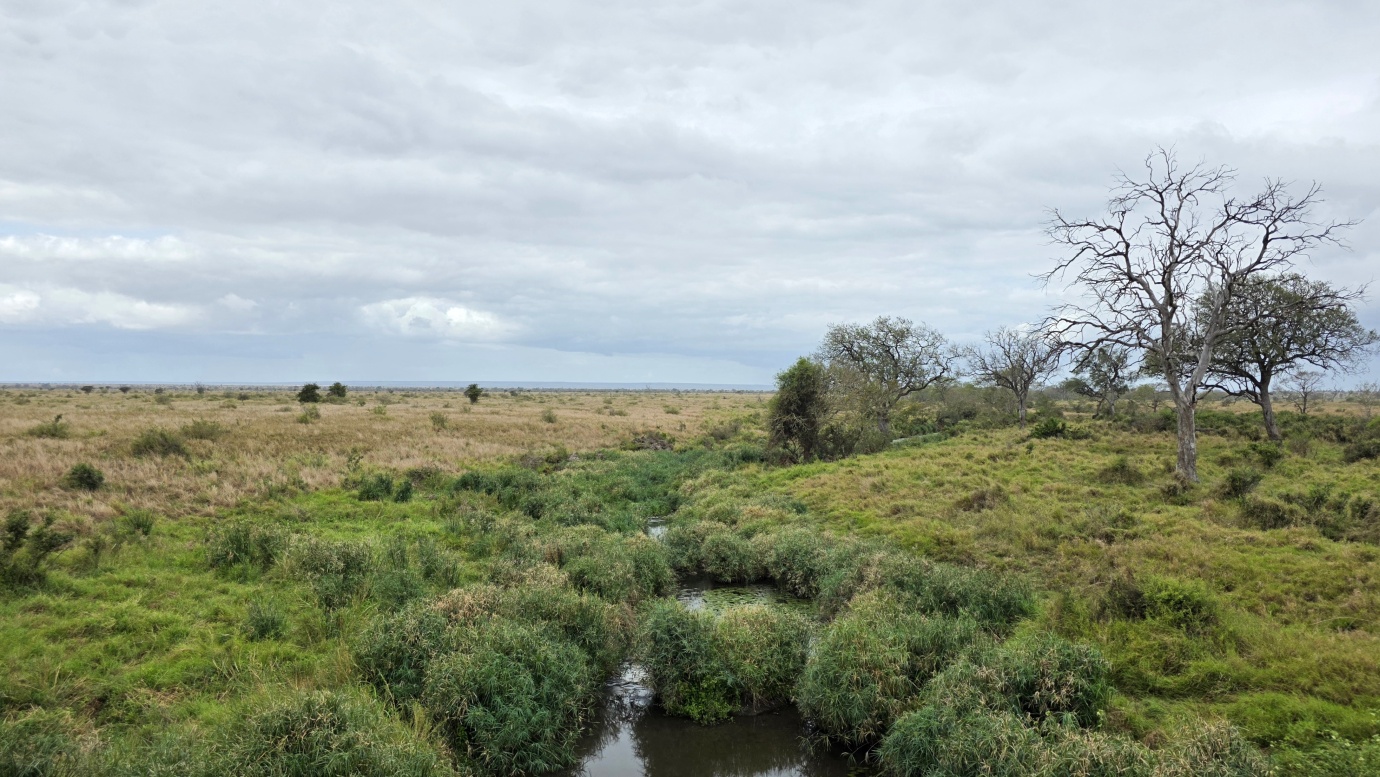
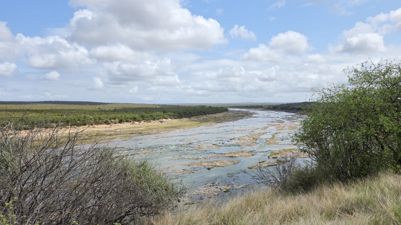
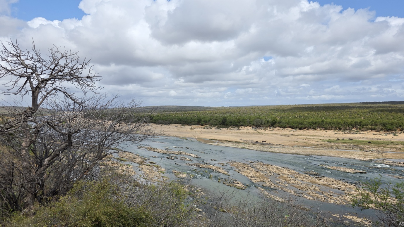
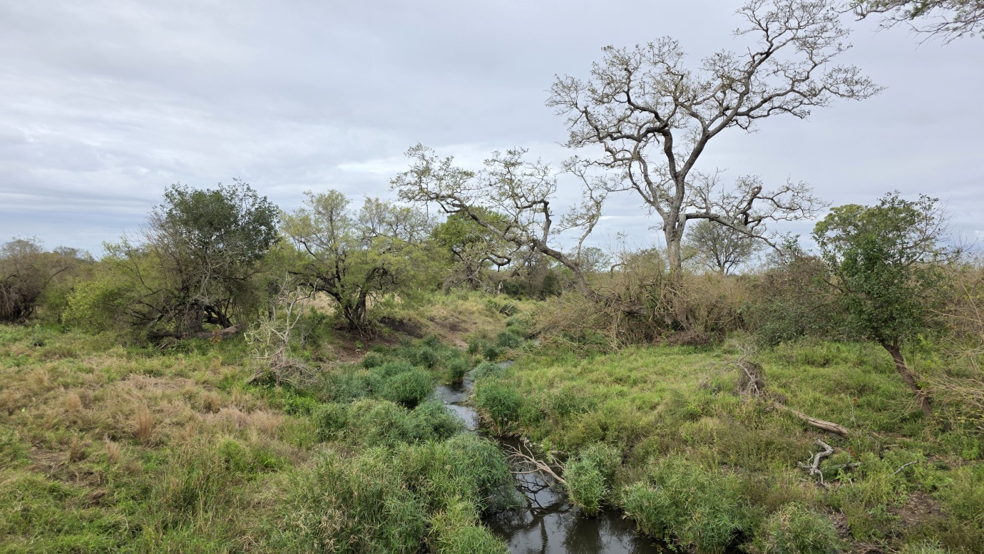
Compared with the greener and wetter south, northern Kruger is the hottest and most arid part of the park. The landscape gradually transitions into dry savanna, characterised by vast open plains, rugged sandstone hills, and dramatic river valleys carved by the Letaba, Shingwedzi, and Luvuvhu rivers.
The northern ecosystem also contains several highly specialised habitats that are markedly different from those found elsewhere in the park. The interior is dominated by mopane woodland and shrubland, replacing much of the acacia and marula vegetation more common in the southern sections. In the extreme northwest lies the highly distinctive Sandveld ecosystem, rooted in ancient sands that were blown into the region from the Kalahari millions of years ago. These nutrient-poor sands support surprisingly complex and diverse plant communities.
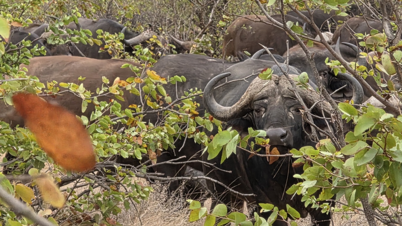
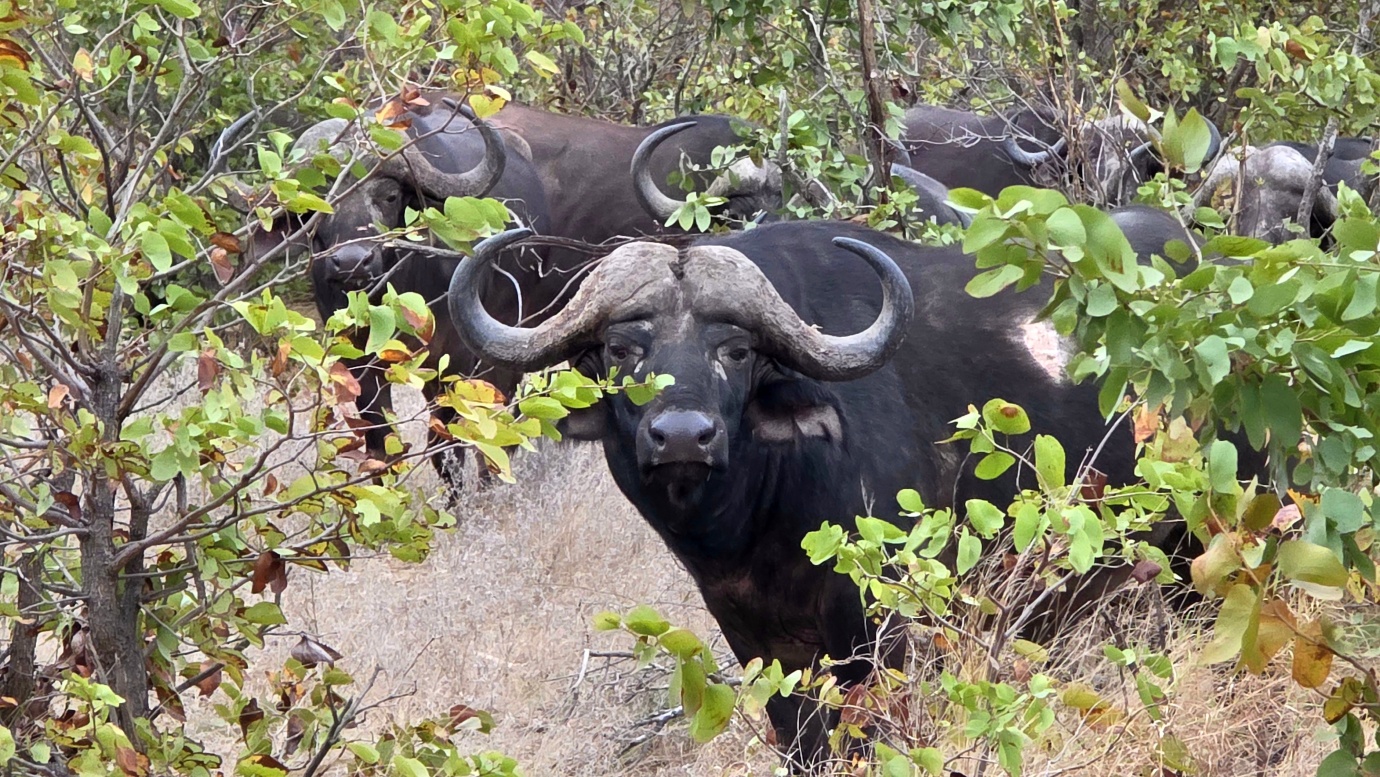
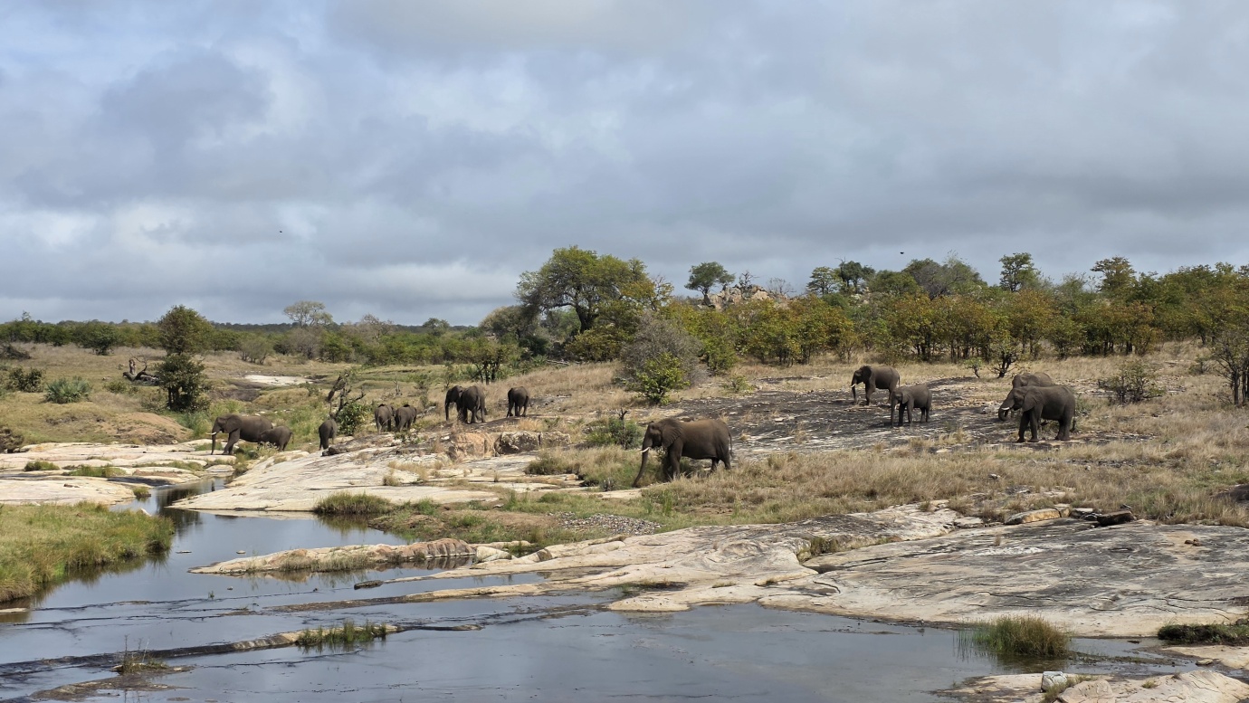
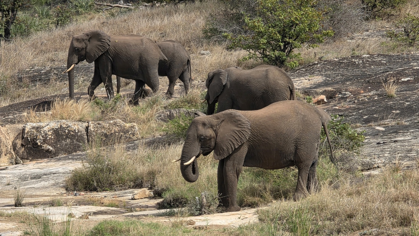
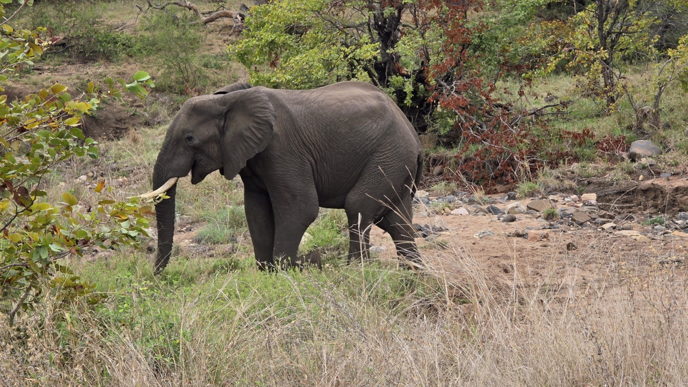
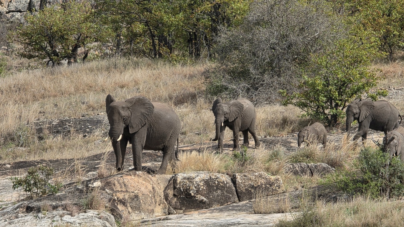
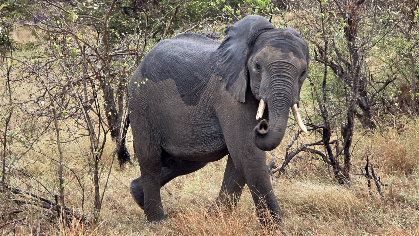
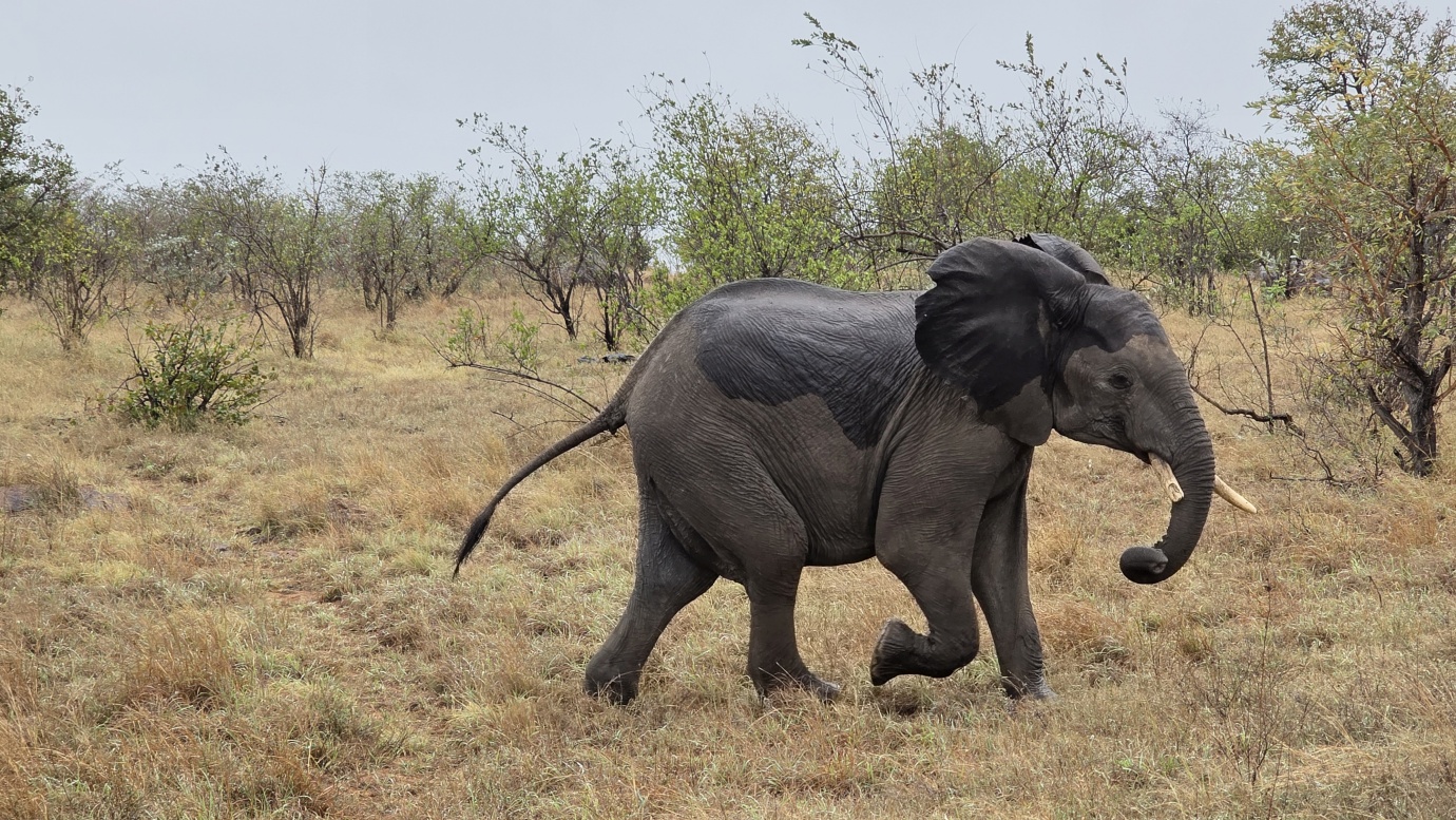
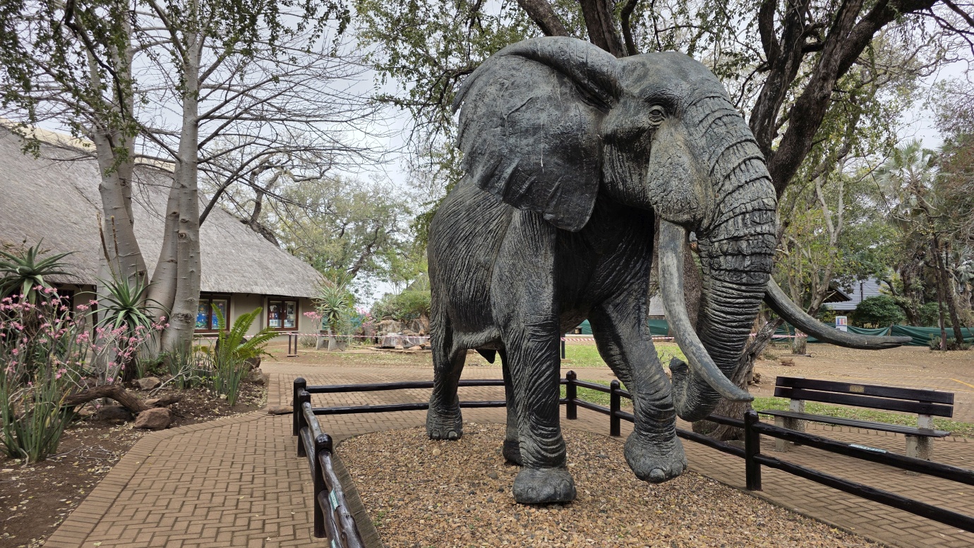
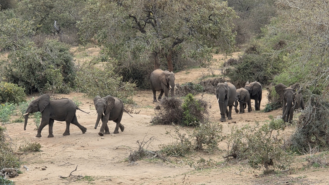
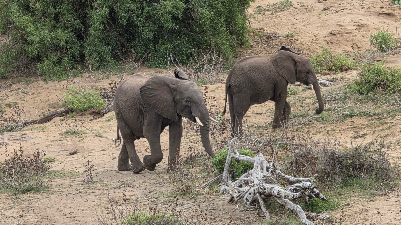
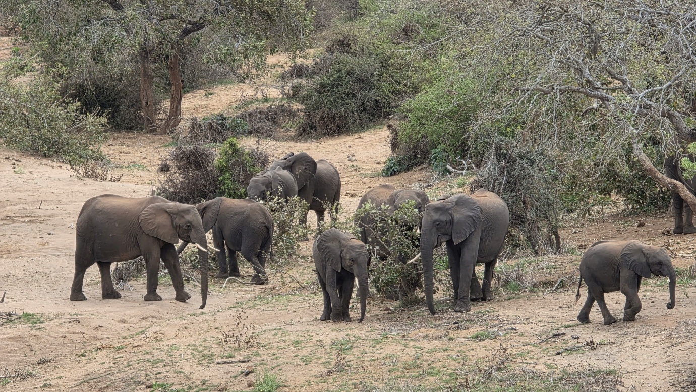
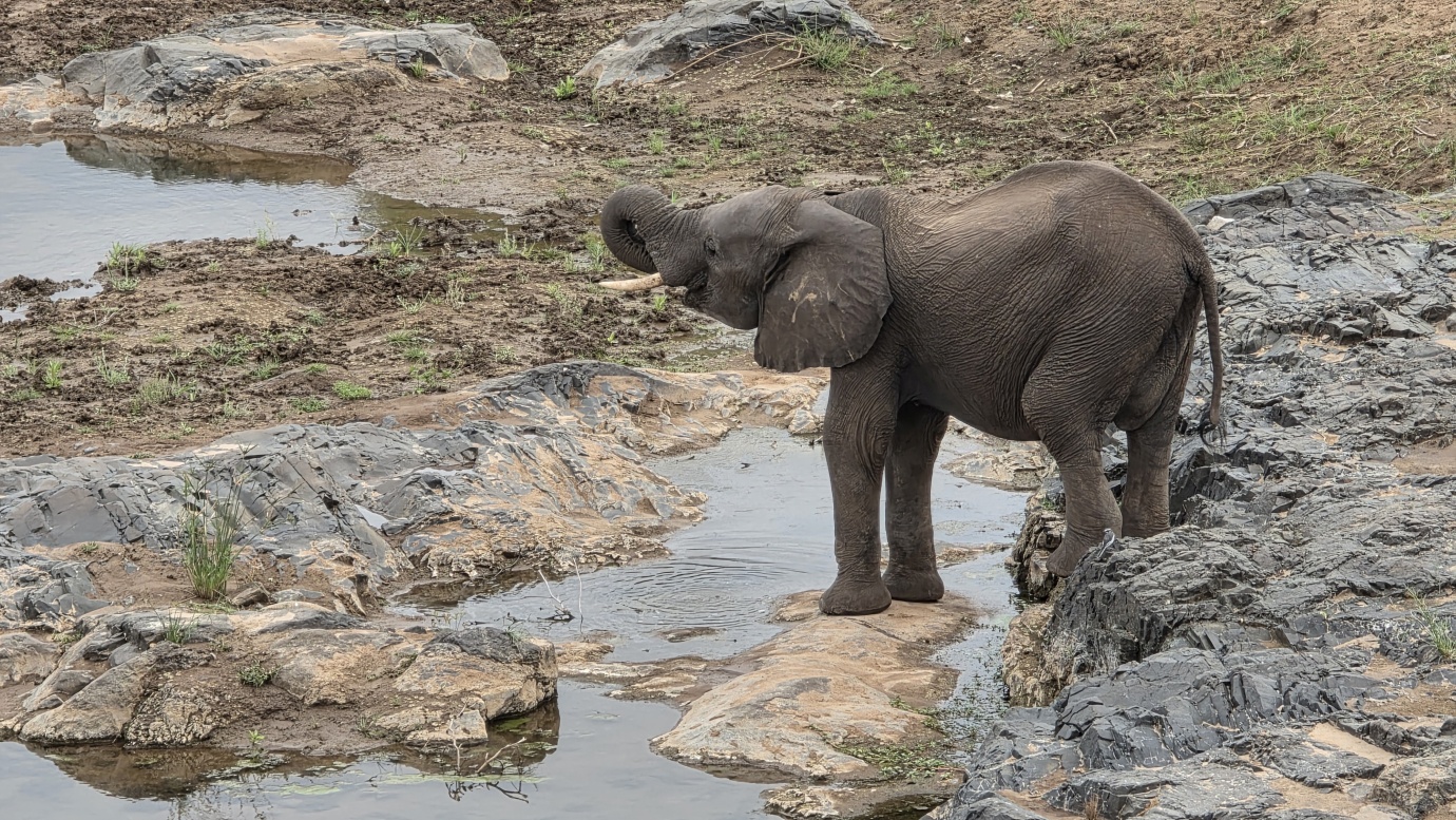
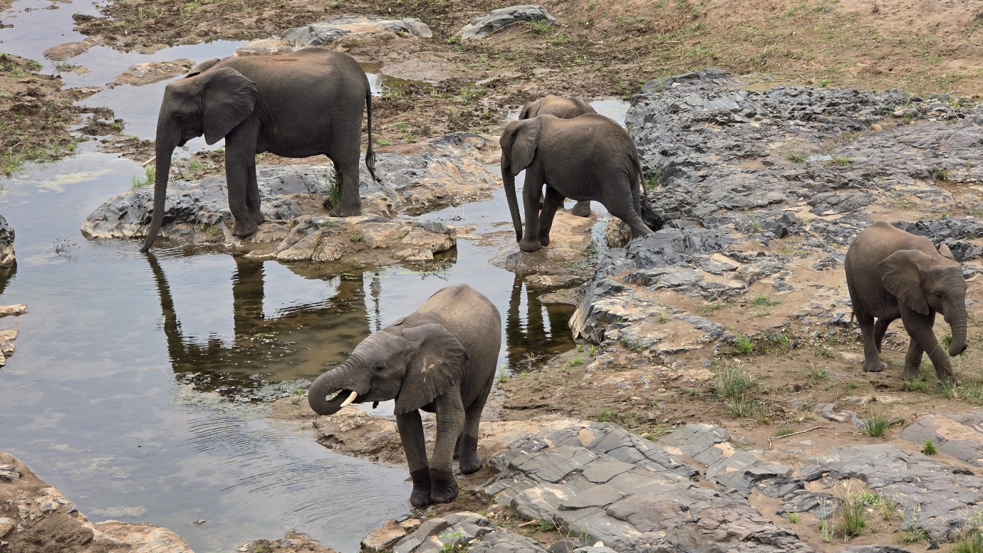
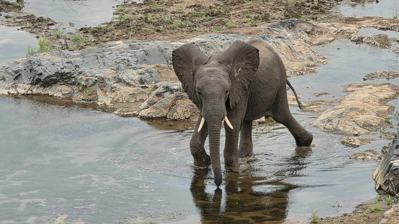
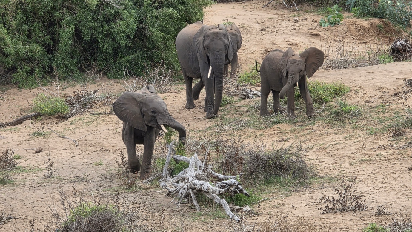
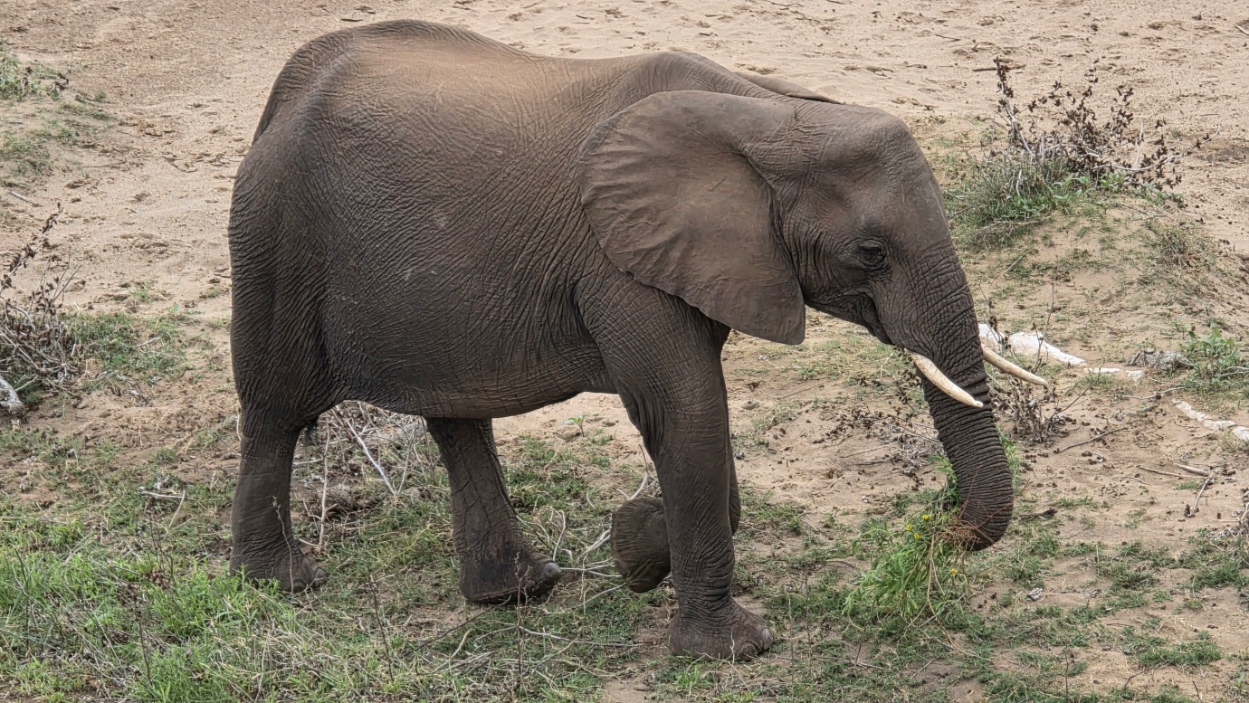
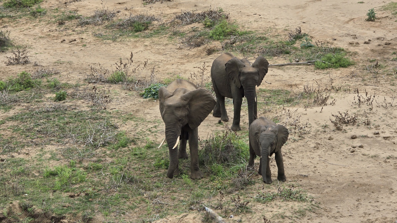
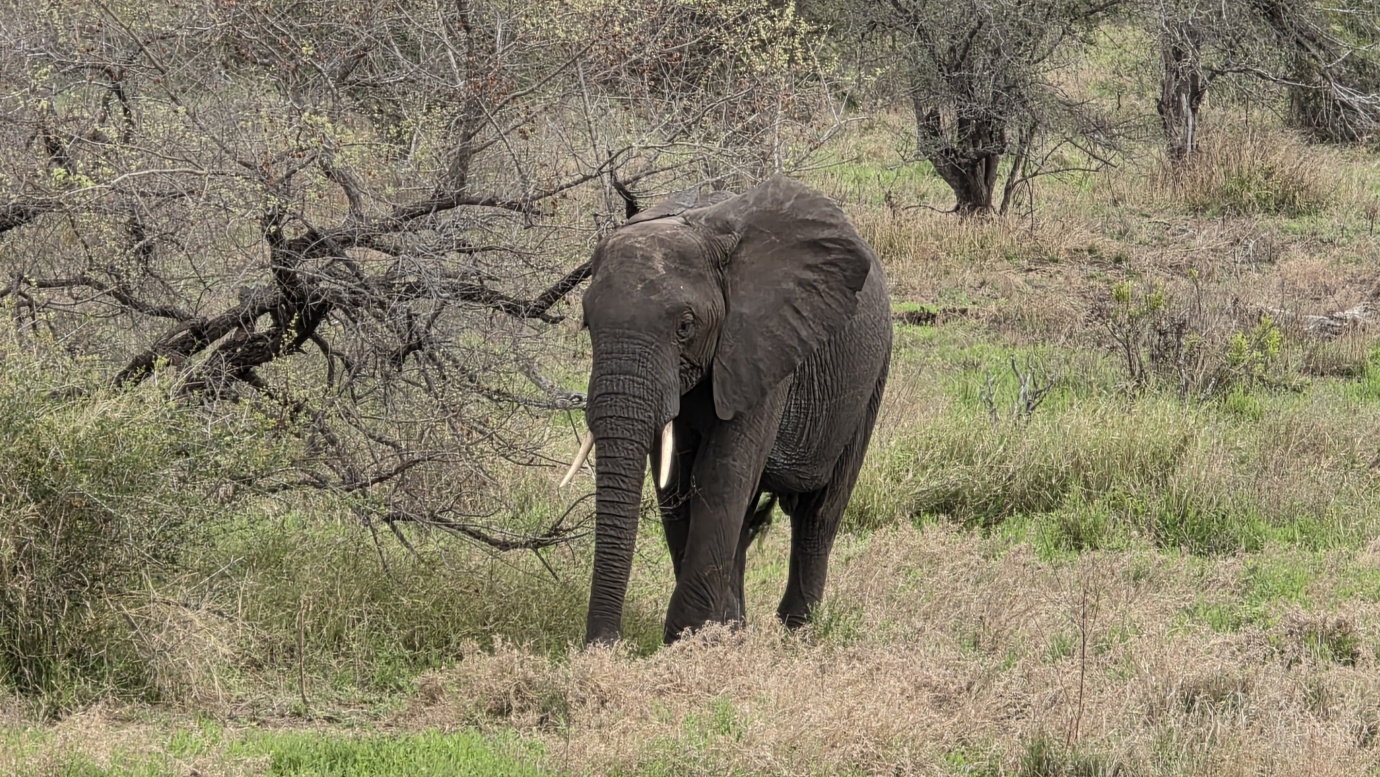
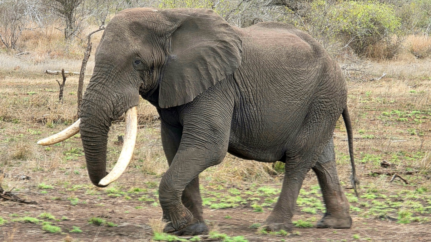
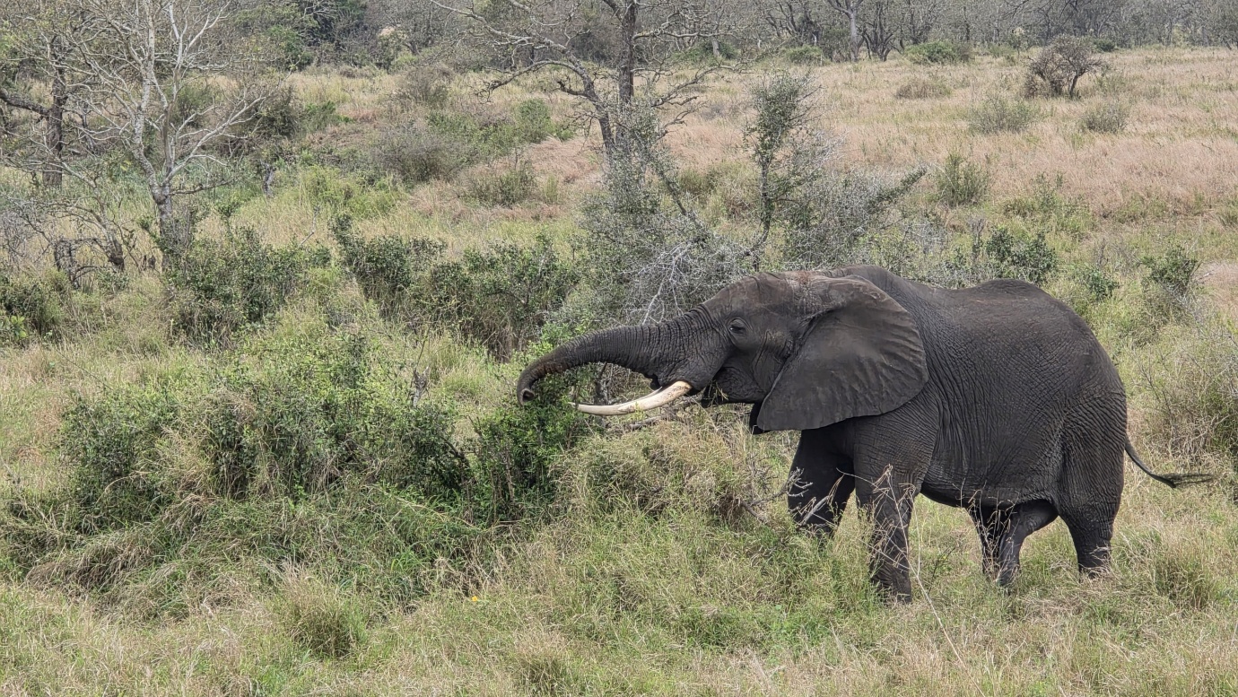
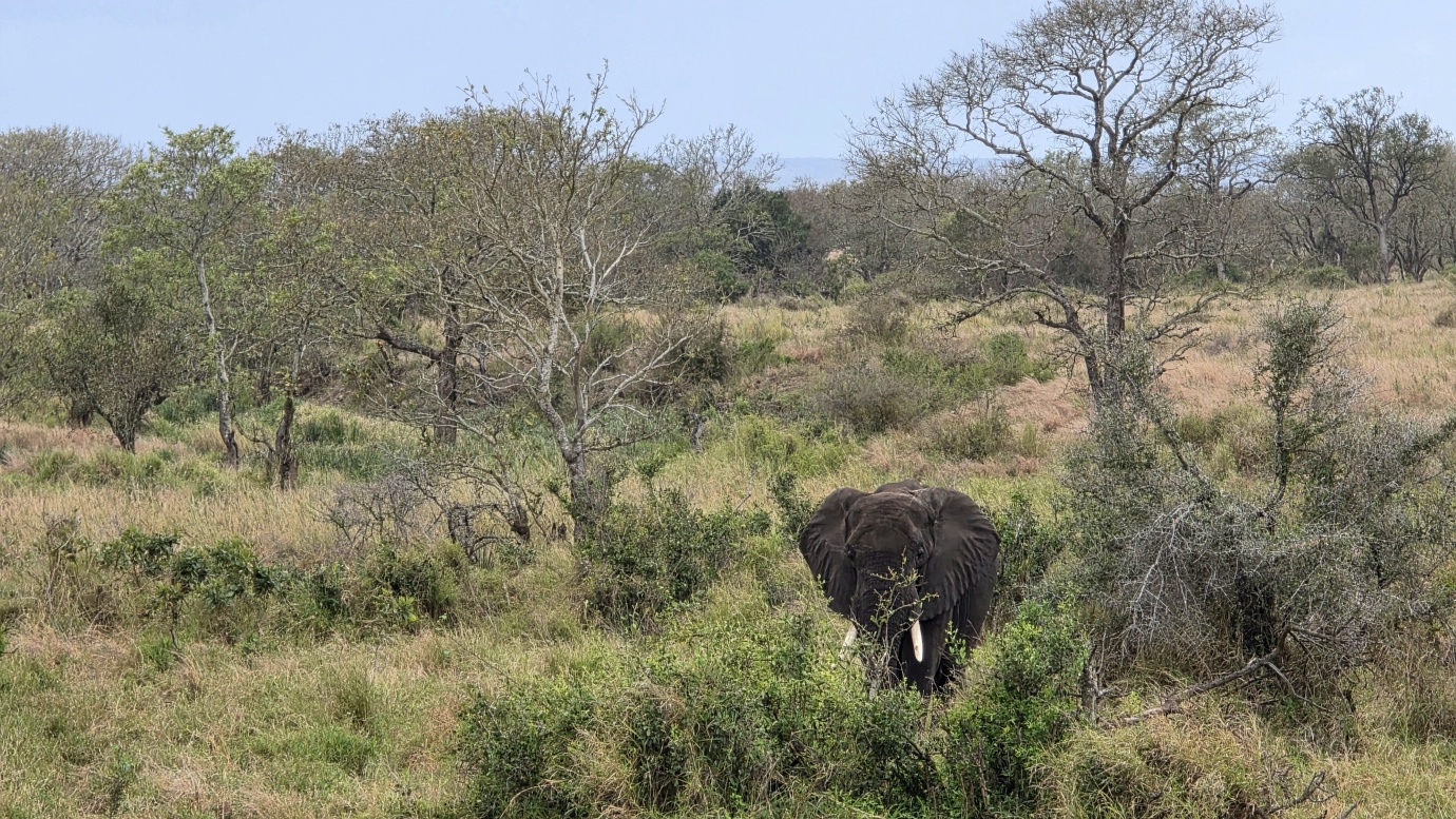
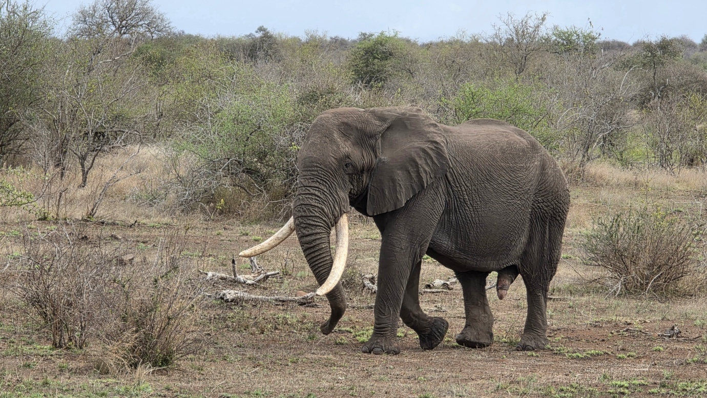
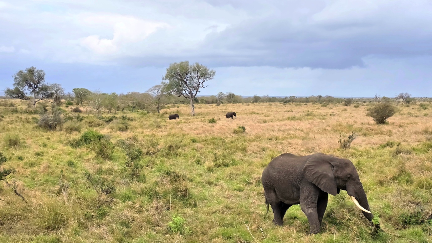
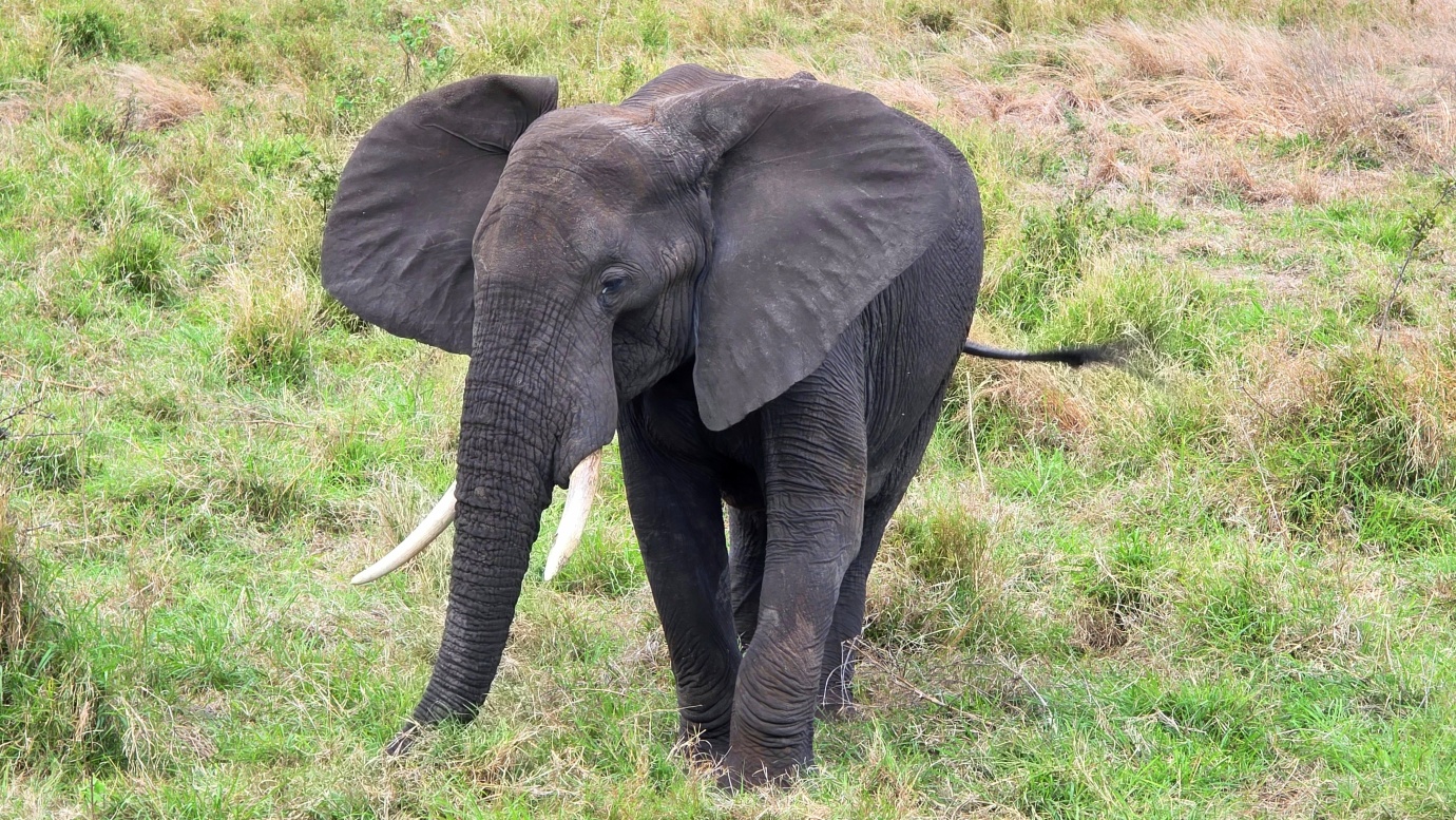
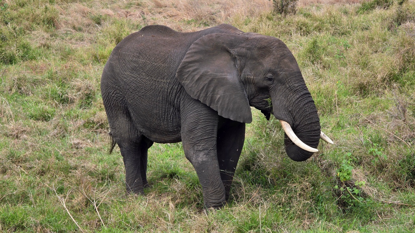
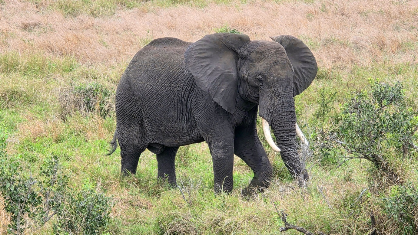
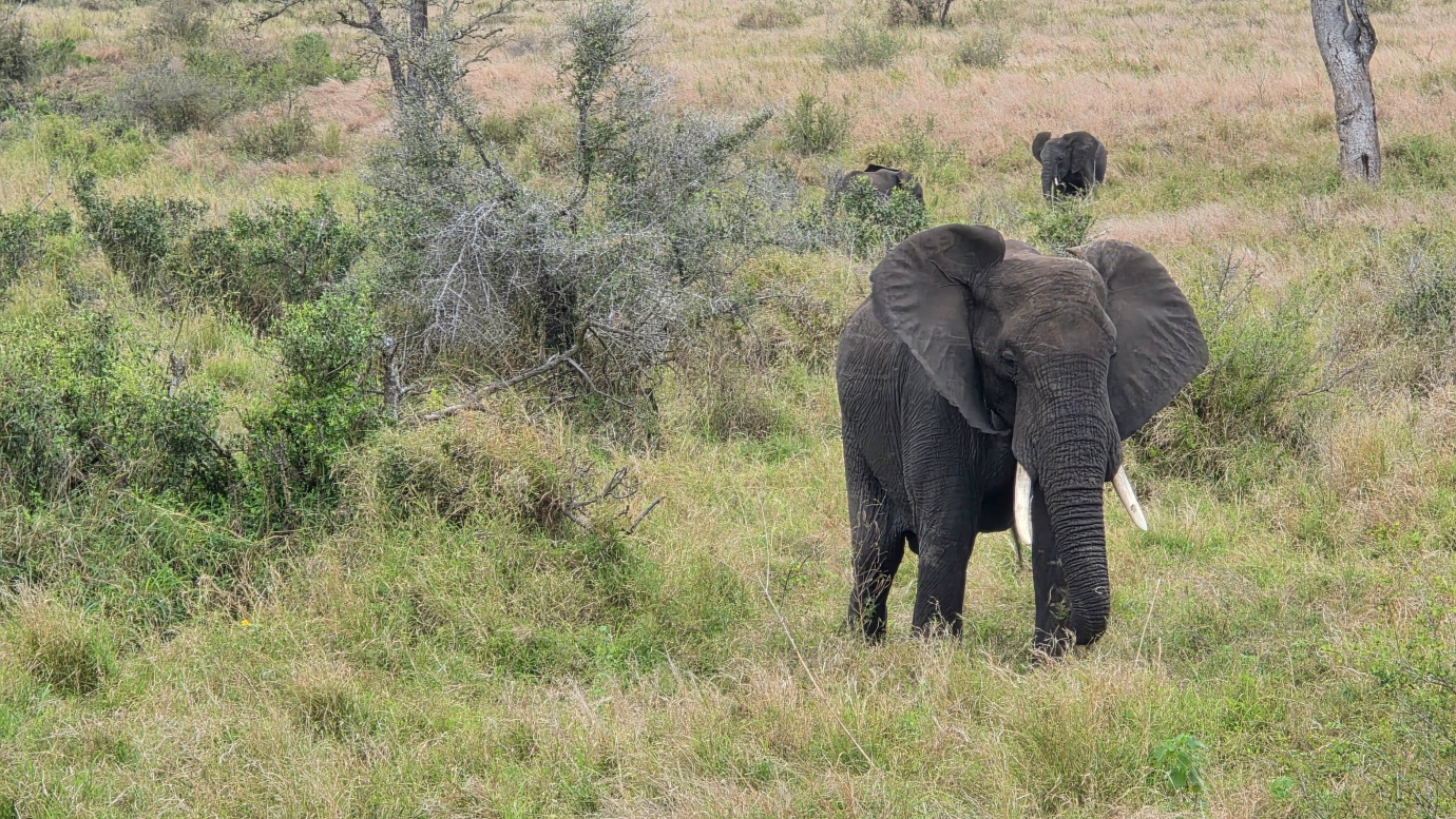
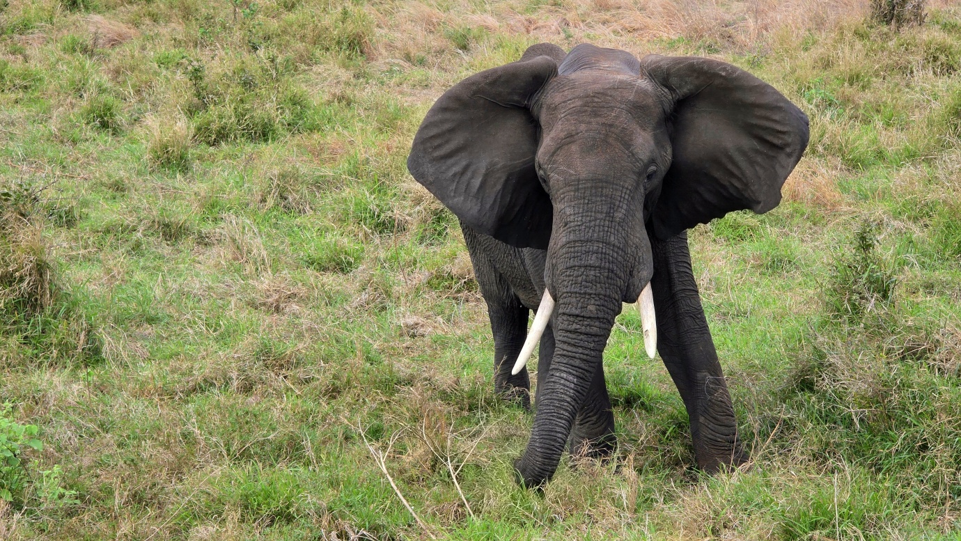
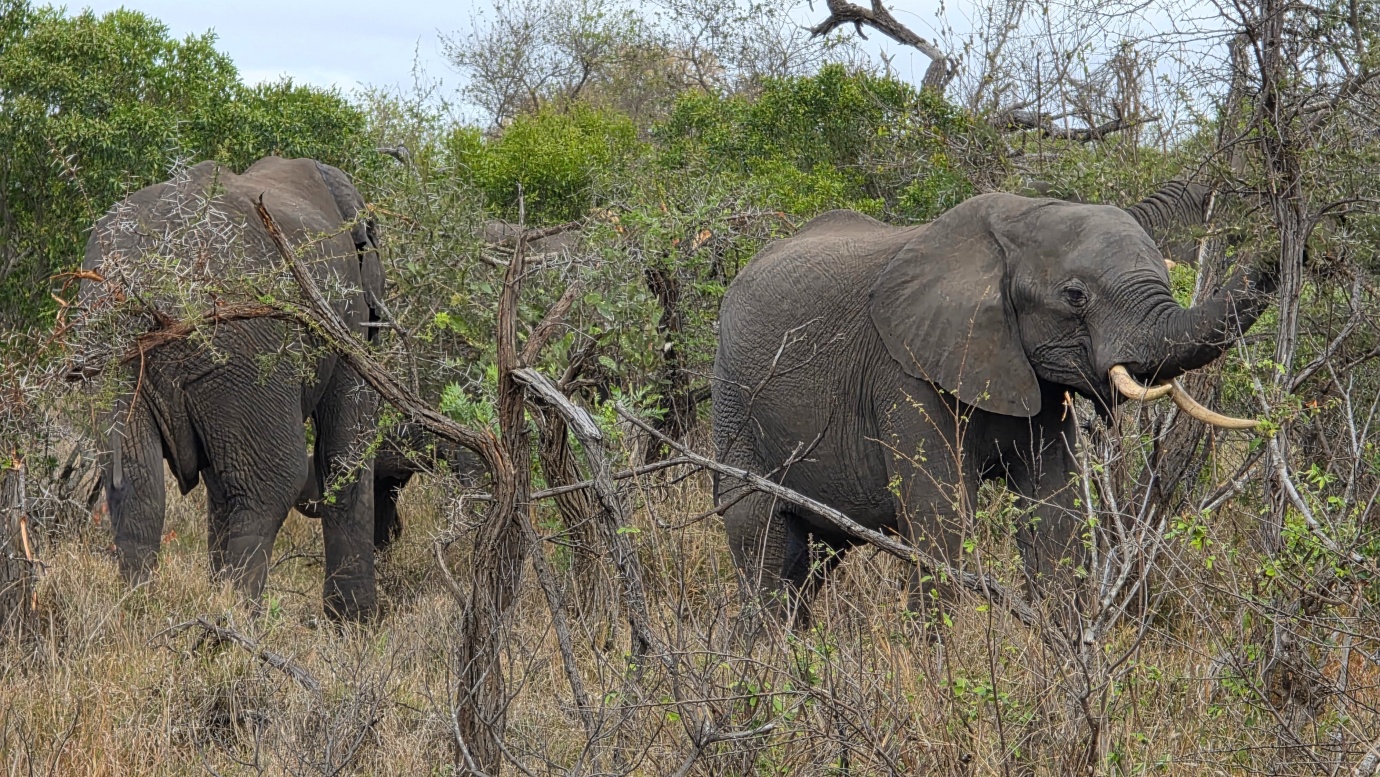
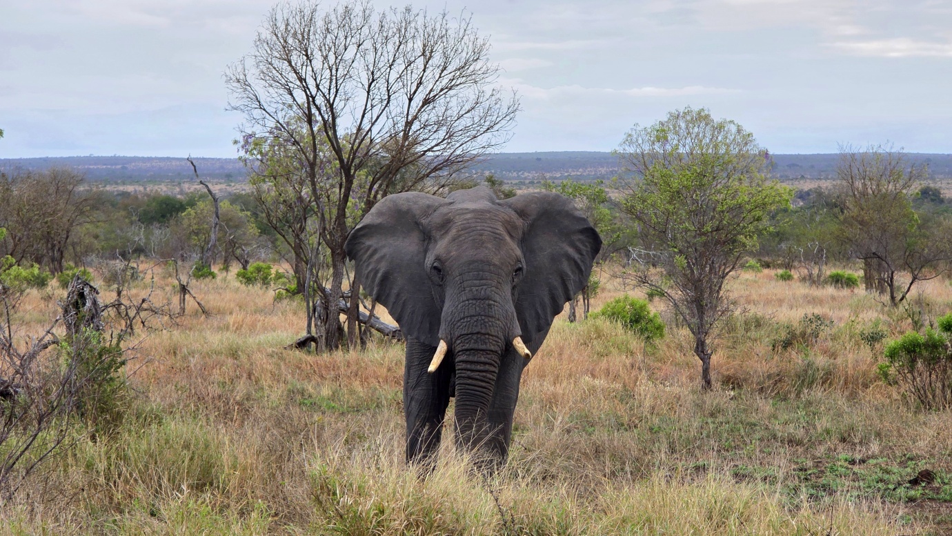
Northern Kruger is also famous for its iconic, towering baobab trees, dramatic candelabra-like vegetation, and surreal greenish-yellow fever tree forests that line the riverine floodplains. The region supports roughly half of Kruger’s total elephant population, with enormous breeding herds and large buffalo herds relying on the life-giving northern river systems. It is also an important habitat for the elegant, spiral-horned nyala, as well as rarer and highly sought-after antelope species such as sable and roan.
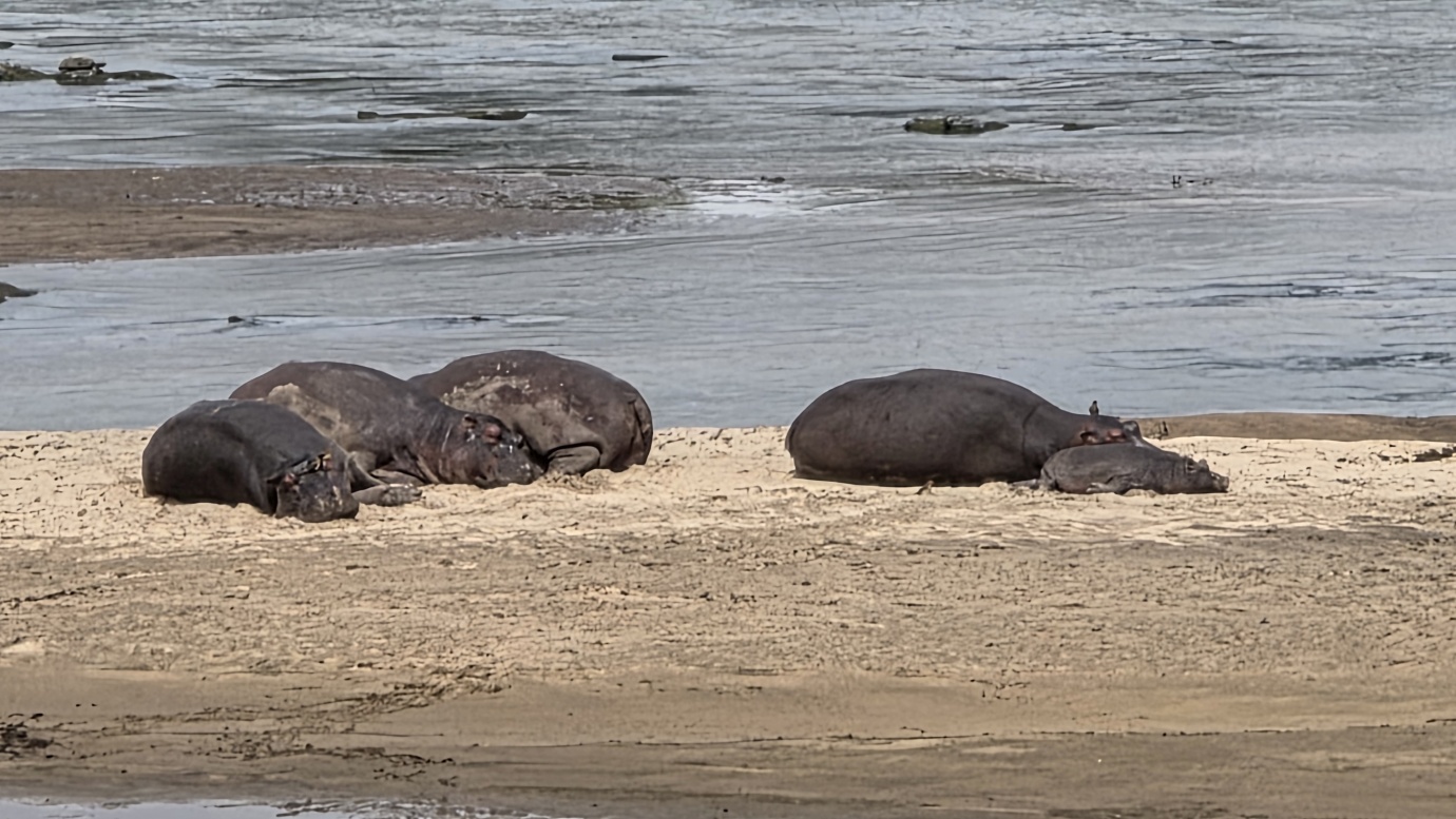
The Pafuri area in the far north is widely regarded as one of South Africa’s premier birdwatching destinations. Its tropical influence creates remarkable birdlife diversity, with species such as the Mottled Spinetail and Narina Trogon adding to the region’s appeal. At the park’s northernmost tip lies Crooks’ Corner, the spectacular meeting point of the Luvuvhu and Limpopo rivers, where the borders of South Africa, Zimbabwe, and Mozambique converge. The area is particularly famous for its large populations of hippos and enormous crocodiles.
Our visit, however, did not go quite as planned. Unusually cold, rainy weather, with frequent storms, kept us stuck around Phalaborwa for several days. Eventually, we ran out of time and decided to enter the park anyway.
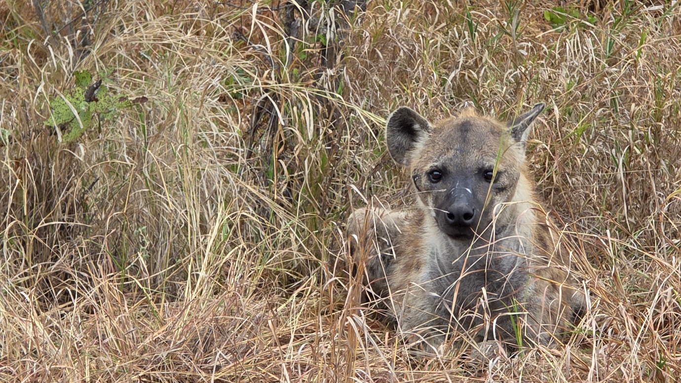
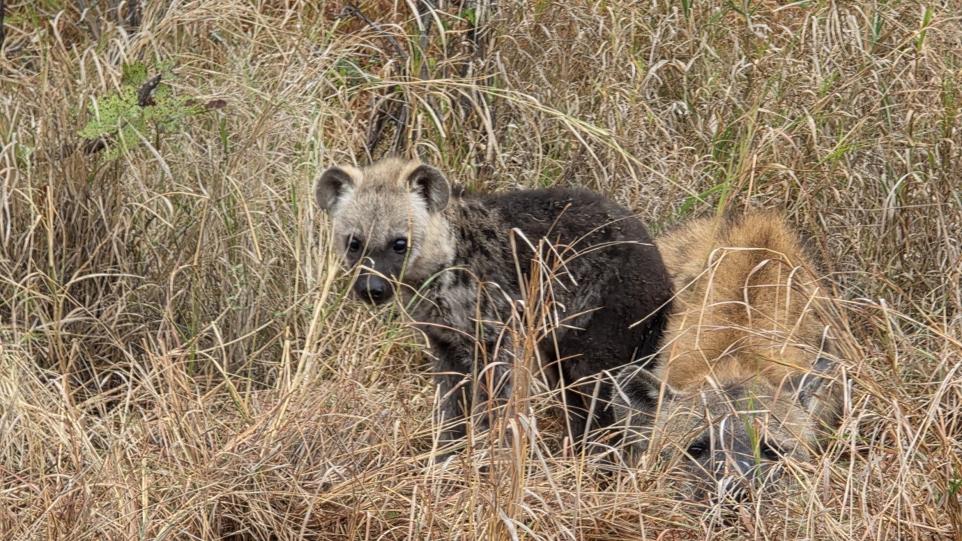
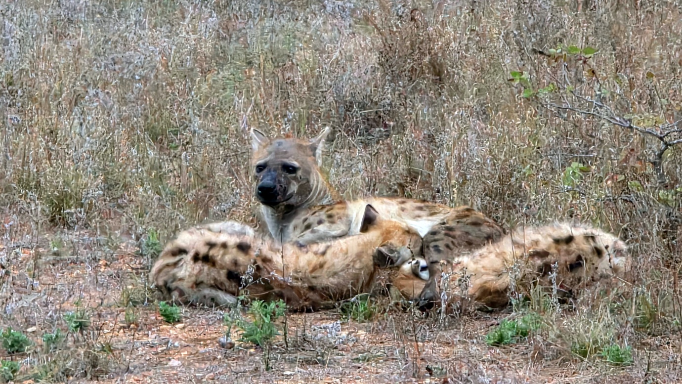
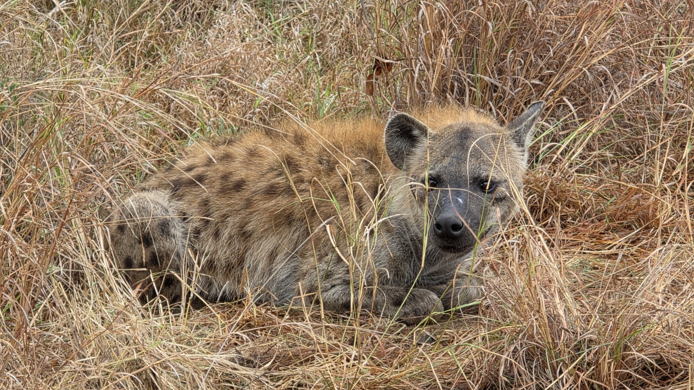
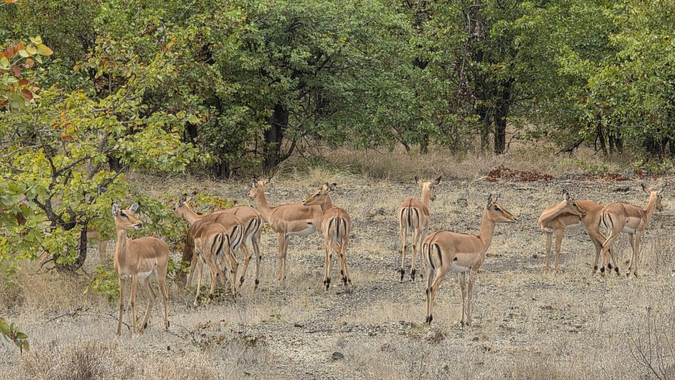
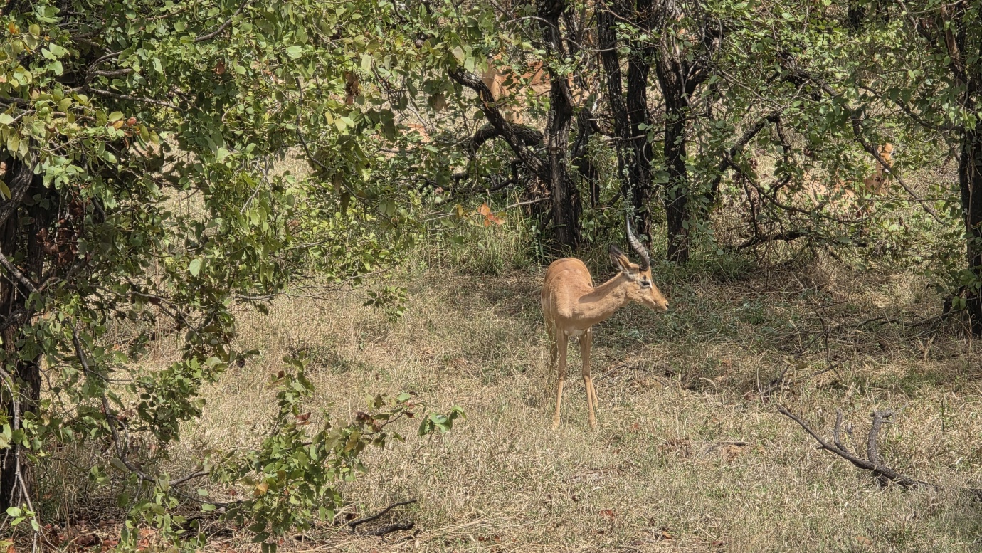
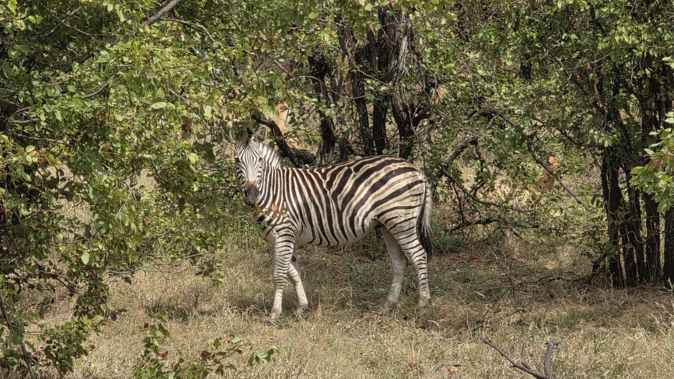
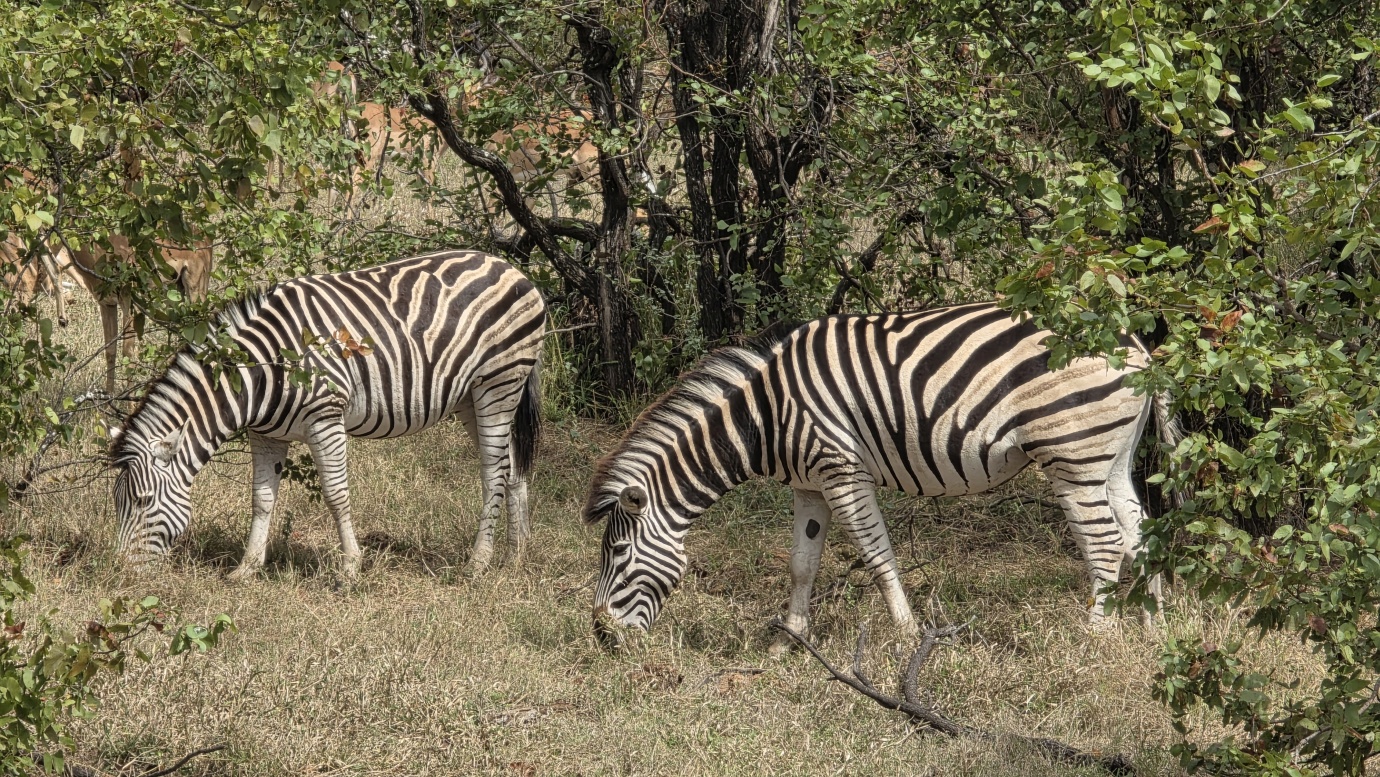
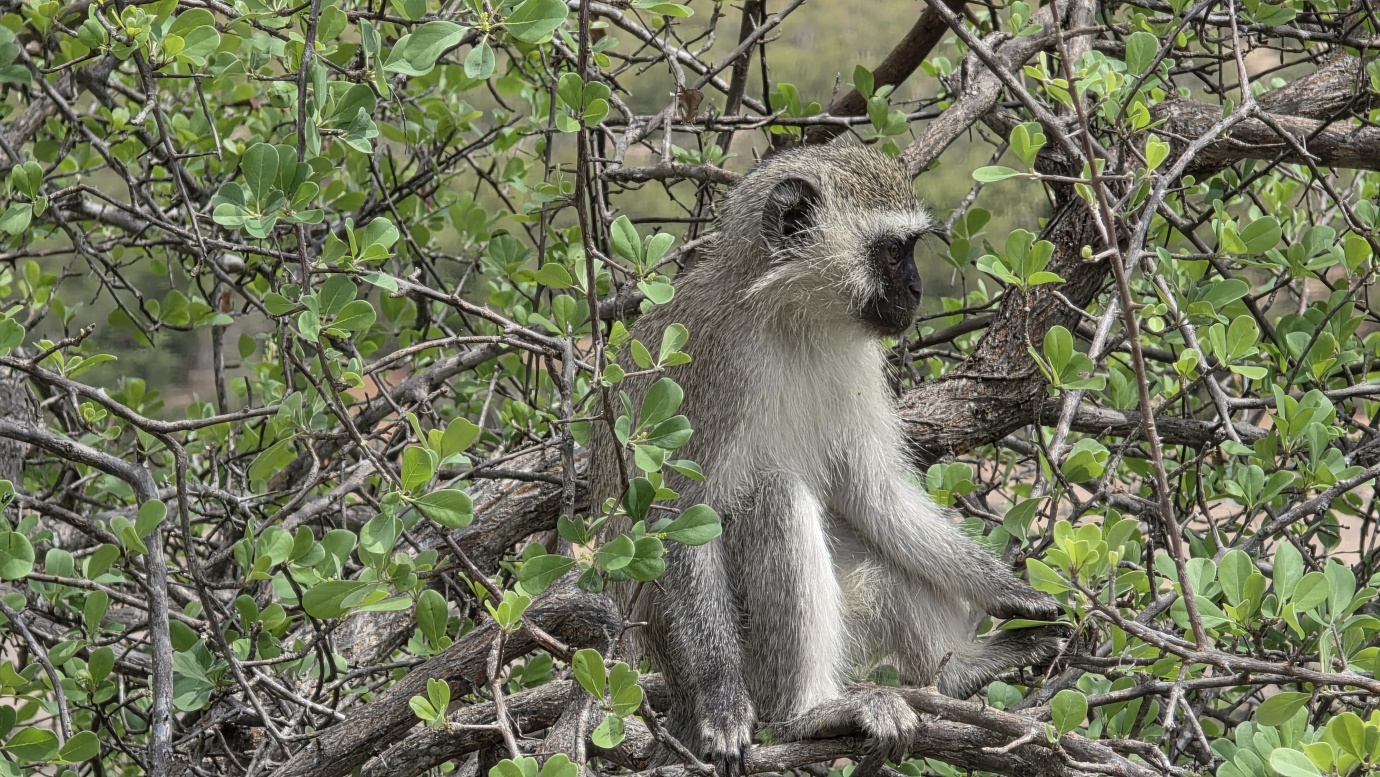
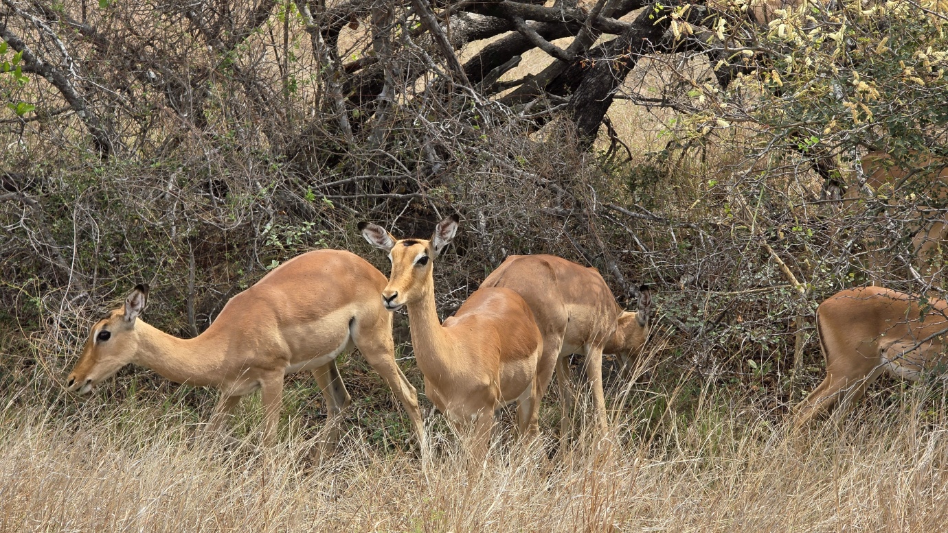
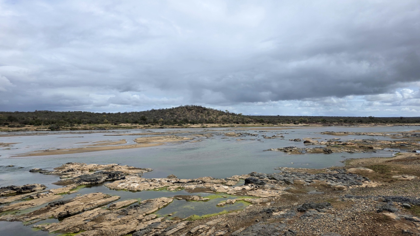
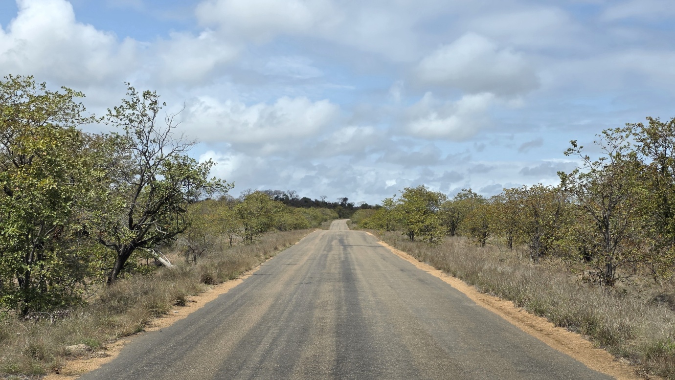
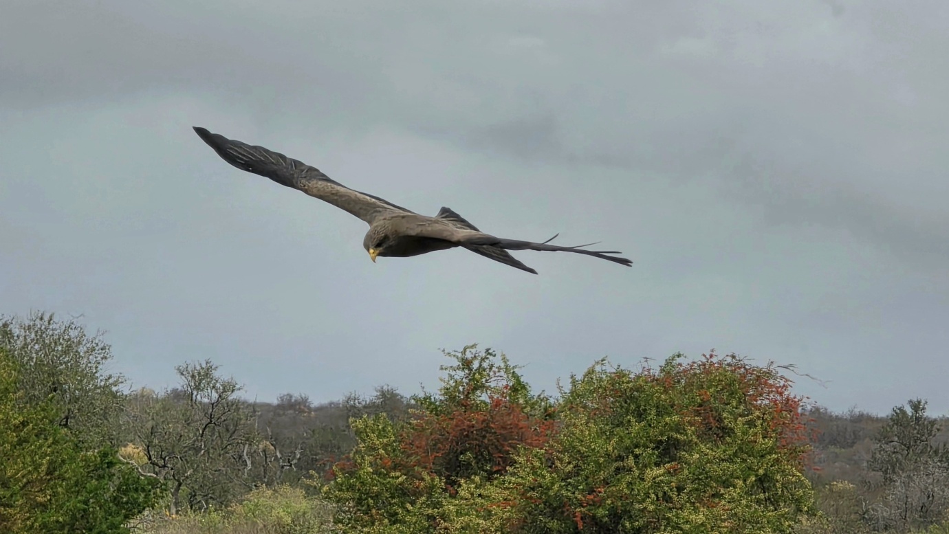
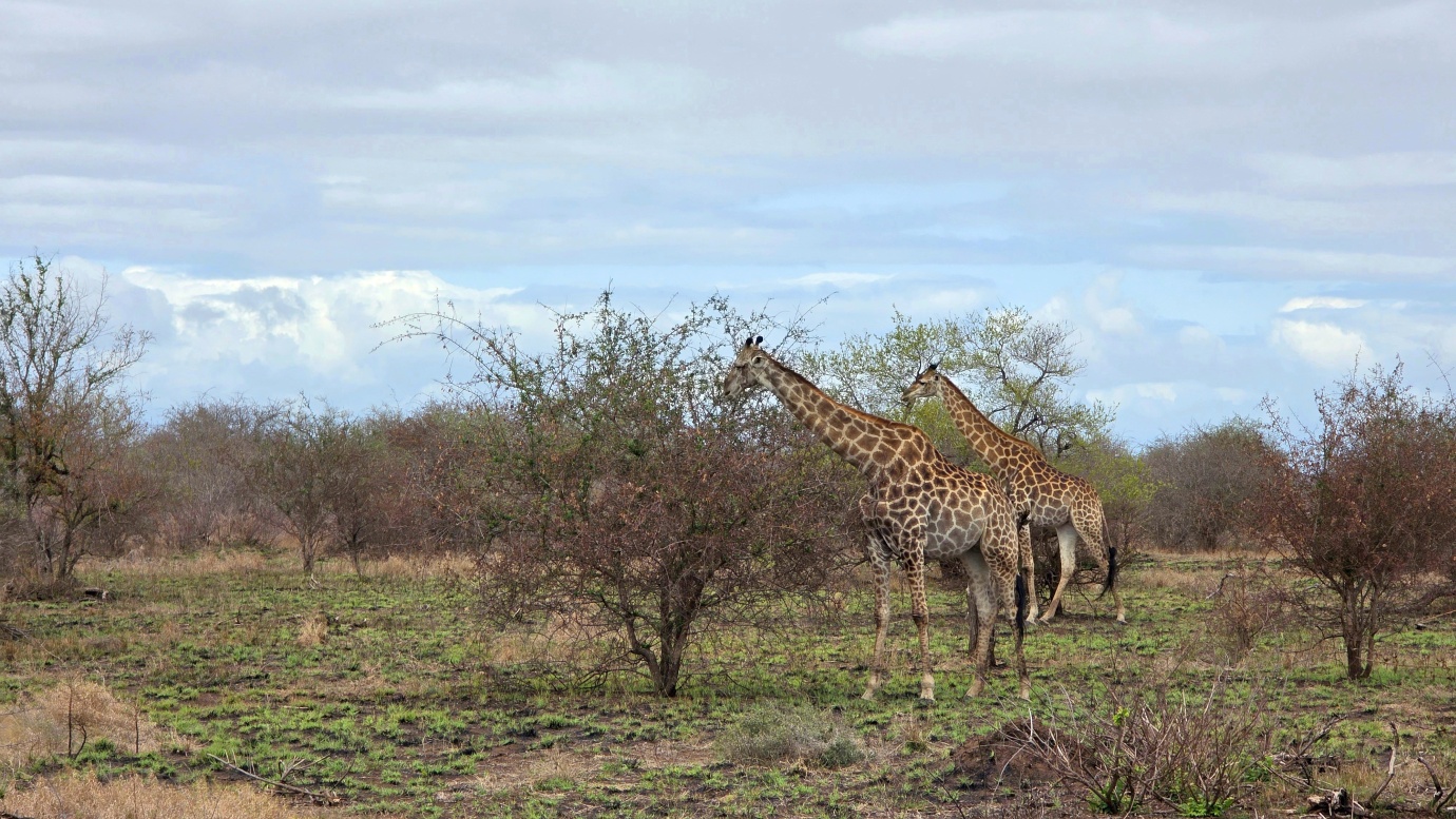
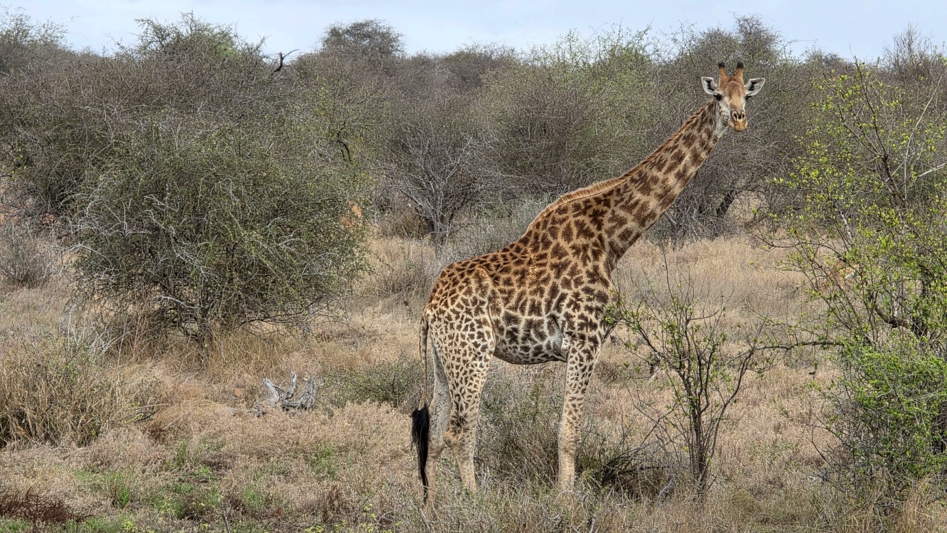
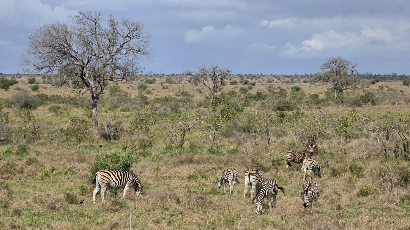
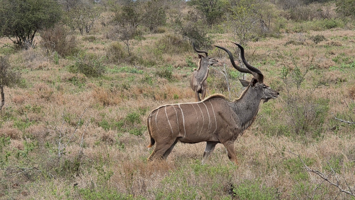
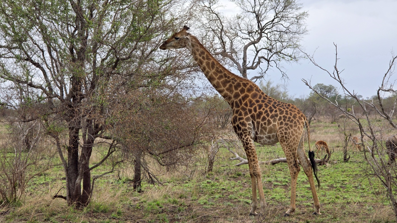
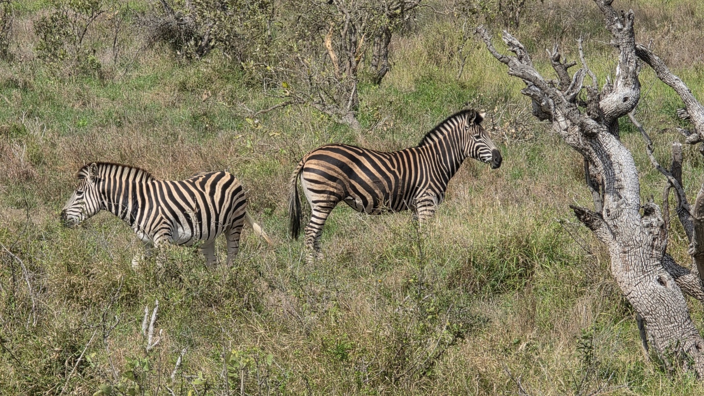
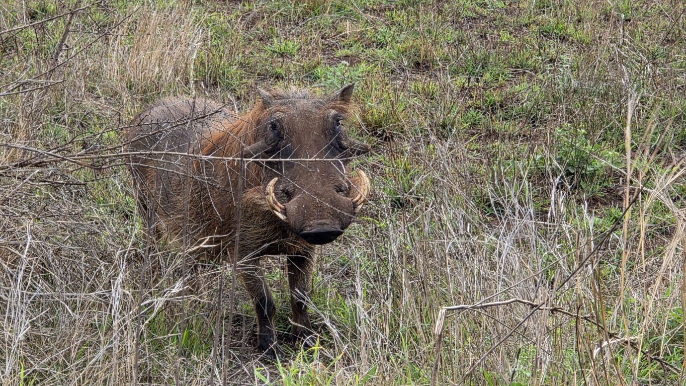
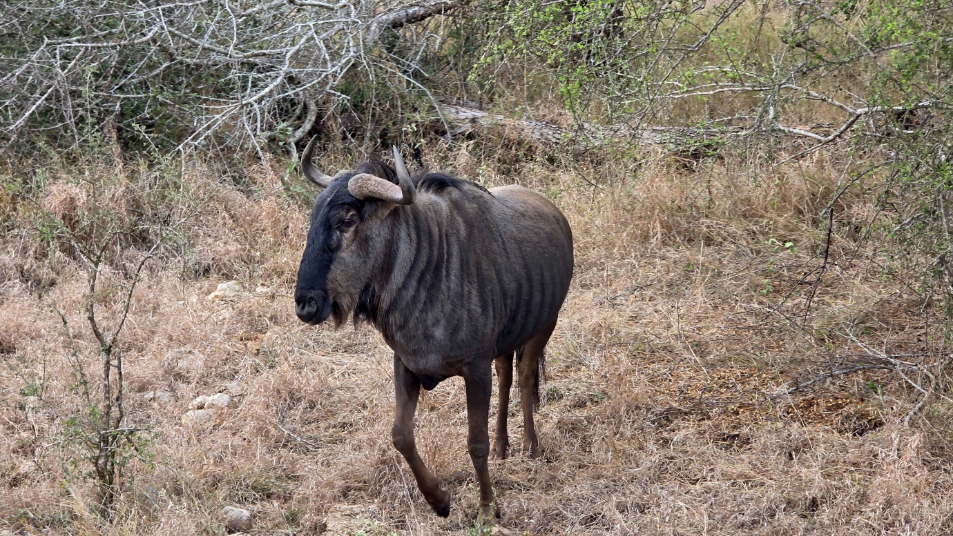
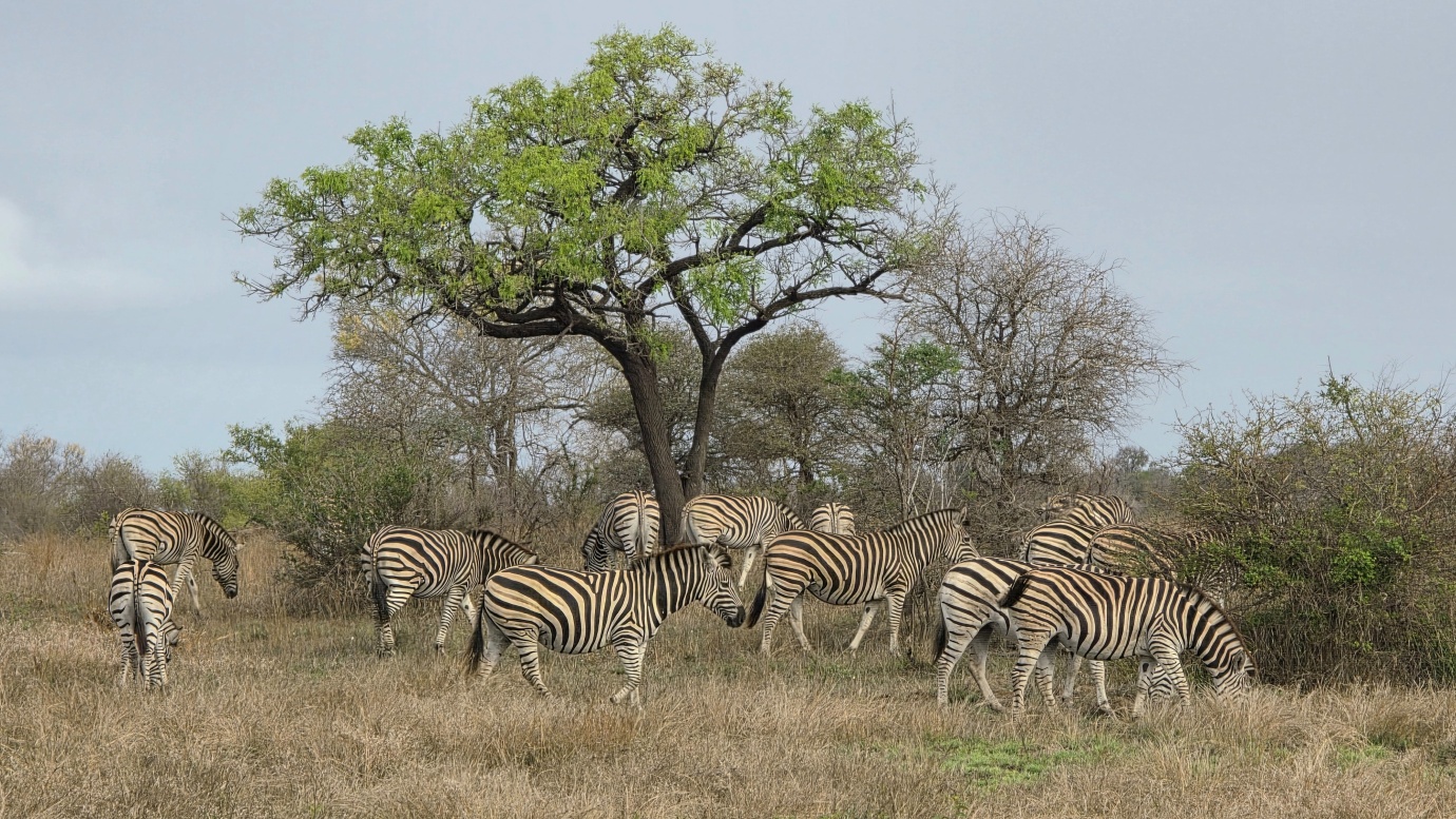
We paid 🎟️602 ZAR per person for entry and drove through central Kruger, passing Letaba and Satara rest camps before continuing toward Orpen Gate. With numerous photography stops, game-viewing loops, and viewpoints along the way, covering the 248-kilometre route took us the entire day.
We finally reached the exit just a few minutes before 18:00, when our daily permit expired. It was a long day behind the wheel, but even with the poor weather and limited time, Kruger gave us a great first taste of its enormous wilderness.
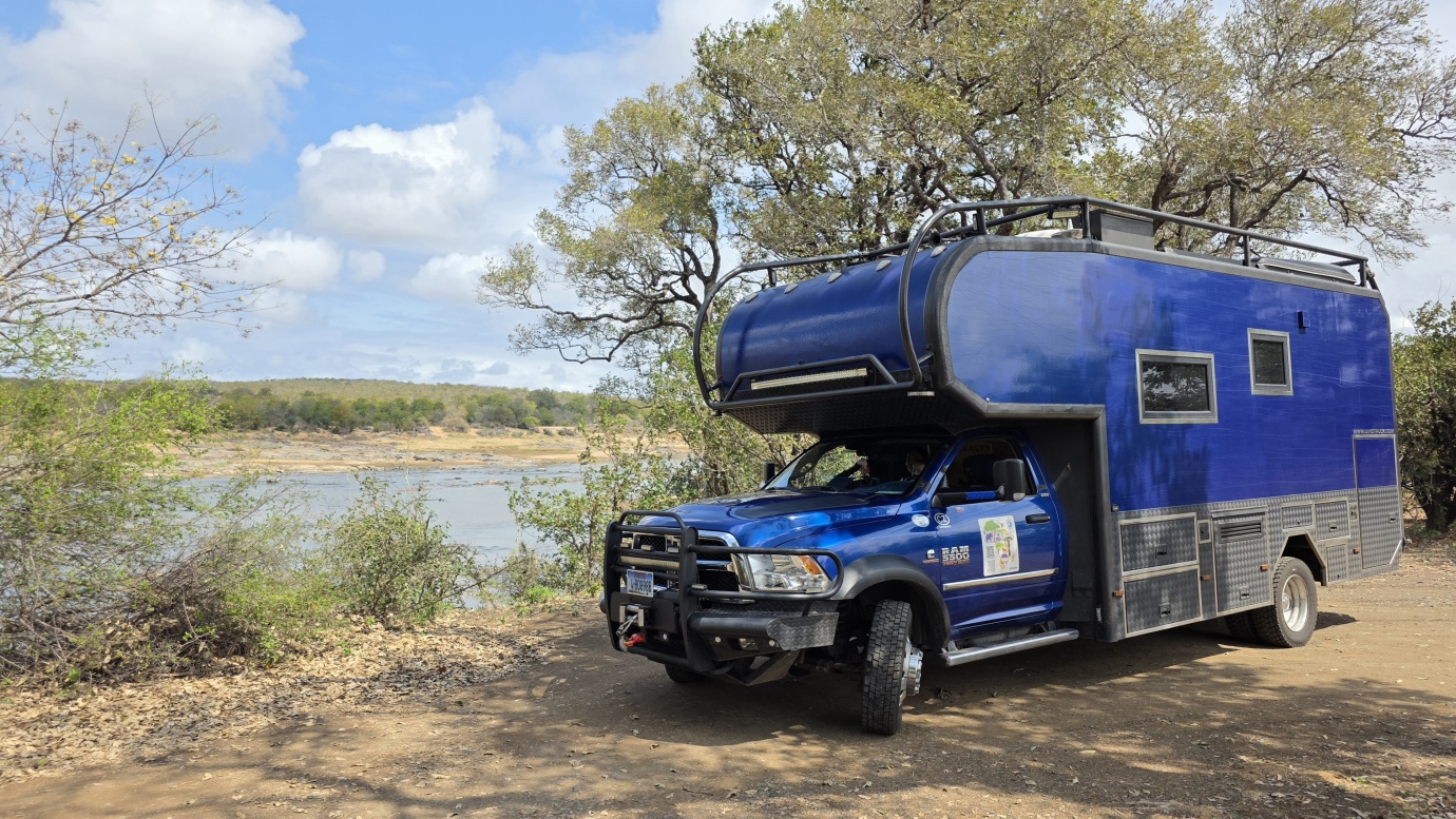
Parking location – Phalaborwa Gate: 23.947673S 31.162582E (🚻,🚿,🏊,💦,🔌,🅿️300 ZAR)