Tag - Mountains

YEMREHANNA KRISTOS CHURCH

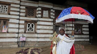
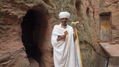
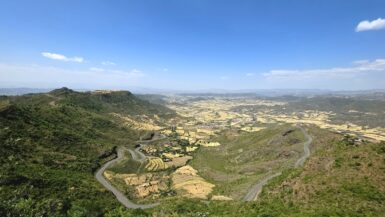
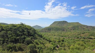
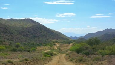
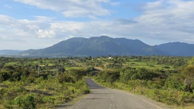
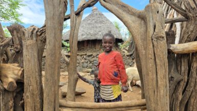
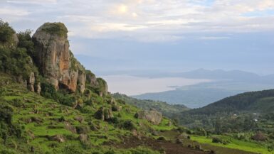
For centuries, the church was extremely remote, requiring a long and arduous journey on foot or by mule. We had no mule, so we took a car and drove through villages controlled by the Fano militia to reach the parking area, from which we still had to hike for 30 minutes up a steep path to...

ROCK-HEWN CHURCHES

In the morning, we paid a pretty adventurous entrance fee (๐ŸŽŸ๏ธ 100 USD / 15,000 ETB) to see the Lalibela rock churches. The complex was built in the late 12th and early 13th centuries under King Gebre Meskel Lalibela of the Zagwe dynasty to create a “New Jerusalem” in Ethiopia...

LALIBELA (แˆ‹แˆŠแ‰ แˆ‹)

We took a short flight from Gondar to Lalibela due to the situation in the Amhara region, where the ethno-nationalist Amhara Fano militia controls the road between the two cities. Before it was known as Lalibela, the town was called Roha (or Warwar) and served as the capital of the Zagwe...

GONDAR (แŒŽแŠ•แ‹ฐแˆญ)

Emperor Fasilides established Gondar as the permanent capital of the Ethiopian Empire in 1636, and it served as Ethiopia’s capital until 1855, a period marked by the construction of magnificent castles and a flourishing culture, and ending with the Zemene Mesafint (Era of the...

DRIVE TO KONSO

After the visit of the Arbore tribe, we continued our drive from Turmi to Konso through southern Ethiopia’s varied landscape with a mix of paved and unpaved sections. The journey took us through the land of the Hamer people and then towards the distinct, terraced highlands of Konso...

WEYTO

Early in the morning, we set off on an off-road drive from Turmi to Konso, following a rough gravel road with most sections under construction. We followed the dry Weyto River through the Weyto Valley, which is part of the Rift Valley. The river is prone to seasonal flooding and flows...

ARI TRIBE

The Ari tribe is an indigenous agricultural and skilled craft-producing group in Ethiopia’s Omo Valley region, known for their fertile land, extensive livestock herds, and unique cultural practices like body painting and scarification. They are the largest tribe in the area, with a...

DRIVE TO JINKA

We continued our drive from Konso to Jinka, which is an approximately 245 km scenic, tarred route, passing through the Rift Valley and crossing the Weyto River. The road goes through Konso, Tsamai, Banna, and Ari areas and is a gateway to the Omo Valley. We made our coffee break in Woito...

KONSO TRIBE

First, we stopped in town to pay our entrance fee to the village (1,700 ETB) and hire a local guide (1,000 ETB). Then, we slowly drove to the village, where we usually paid 20 to 100 ETB for a photo of adults, and the children received a lollipop. The Konso are a Cushitic-speaking ethnic...

GUGHE MOUNTAINS

The Gughe Mountains are a mountain range located near the city of Arba Minch and Abaya Lake. Mount Gughe, a prominent peak, is approximately 4,200 meters high. They are part of the Gamo Highlands, known for their spectacular scenery and terraced views of the Rift Valley. It is home to the...