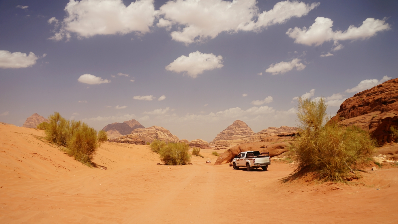
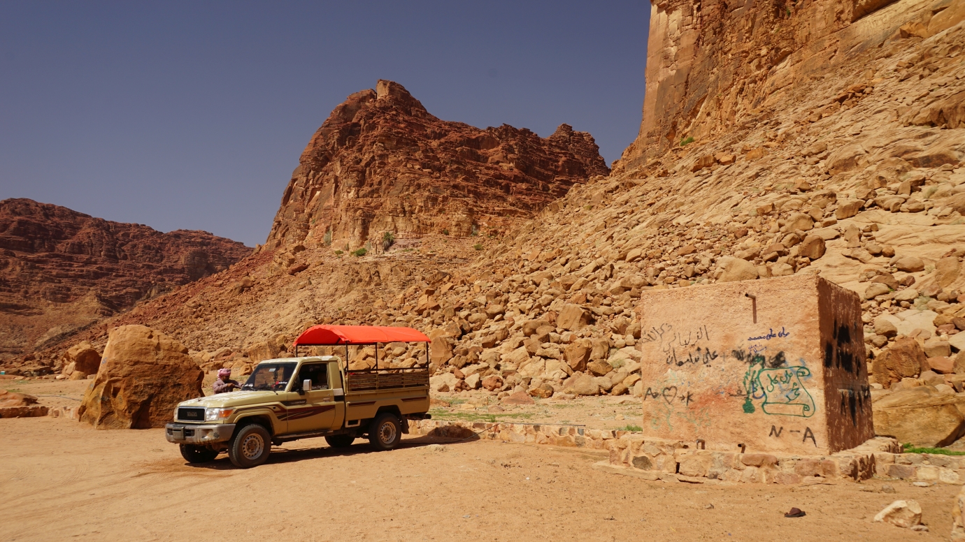
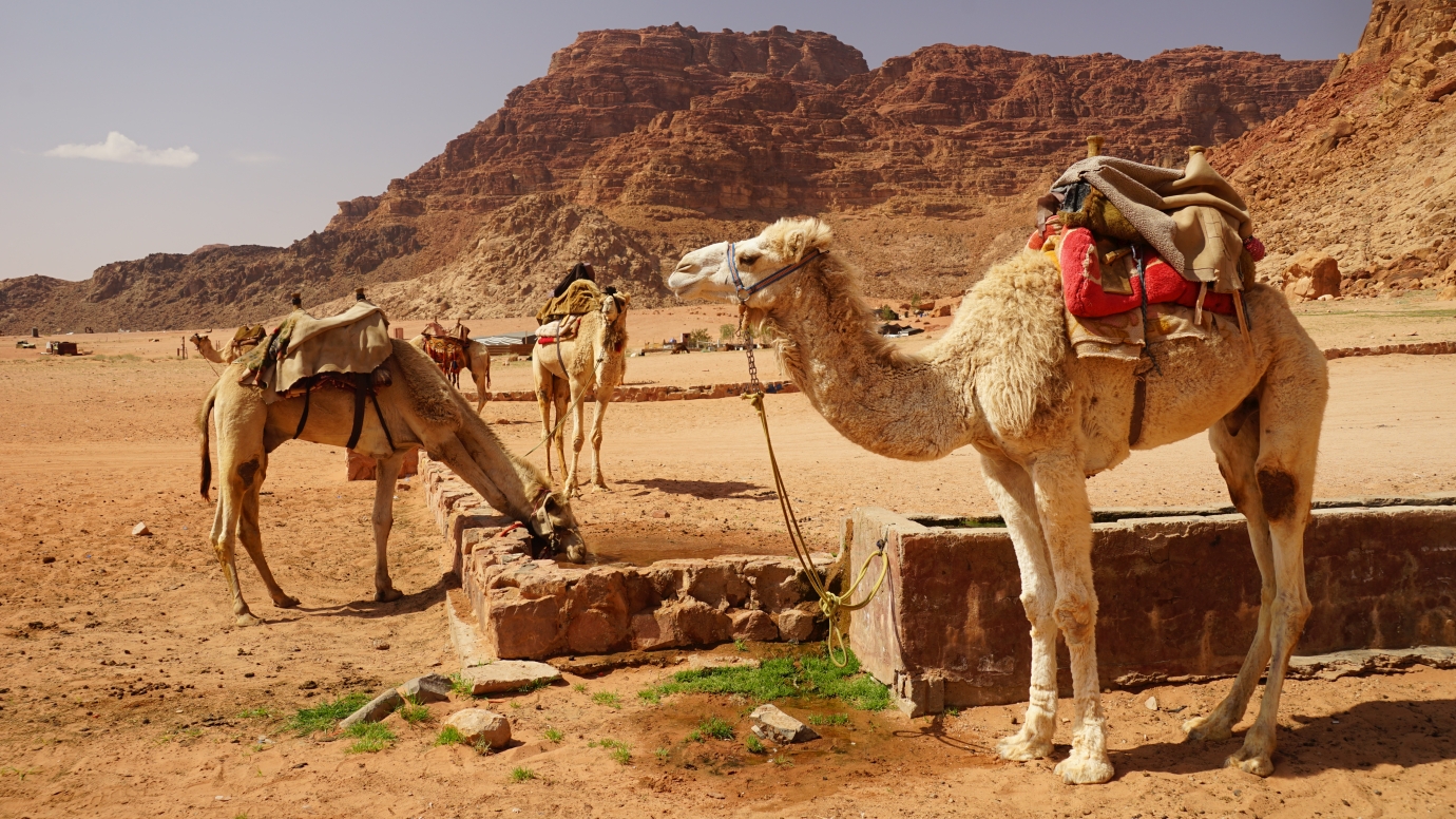
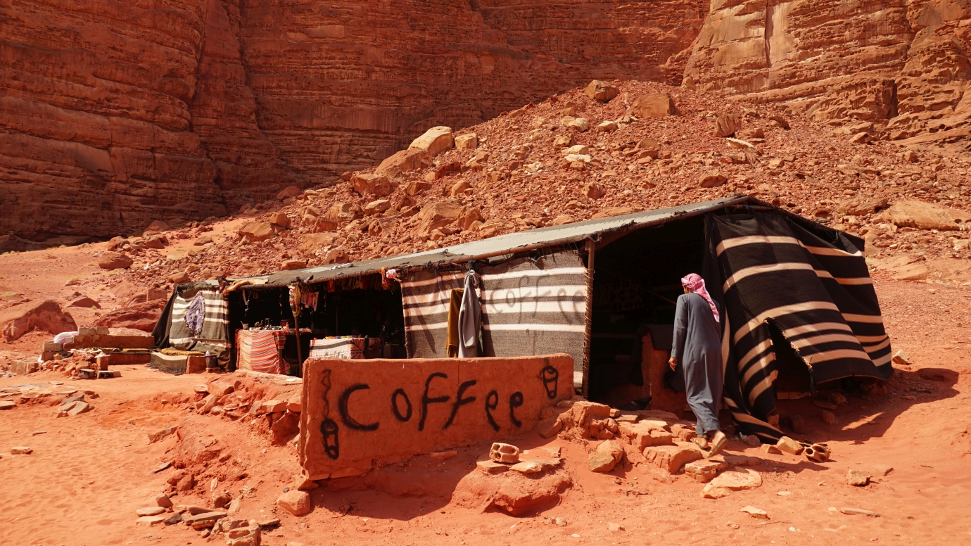
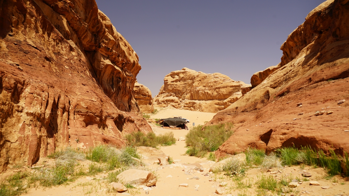
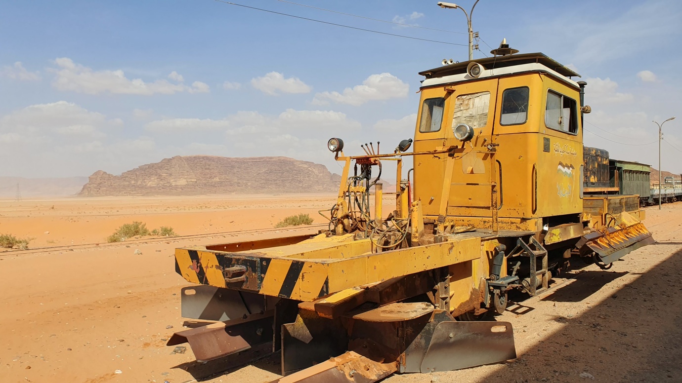
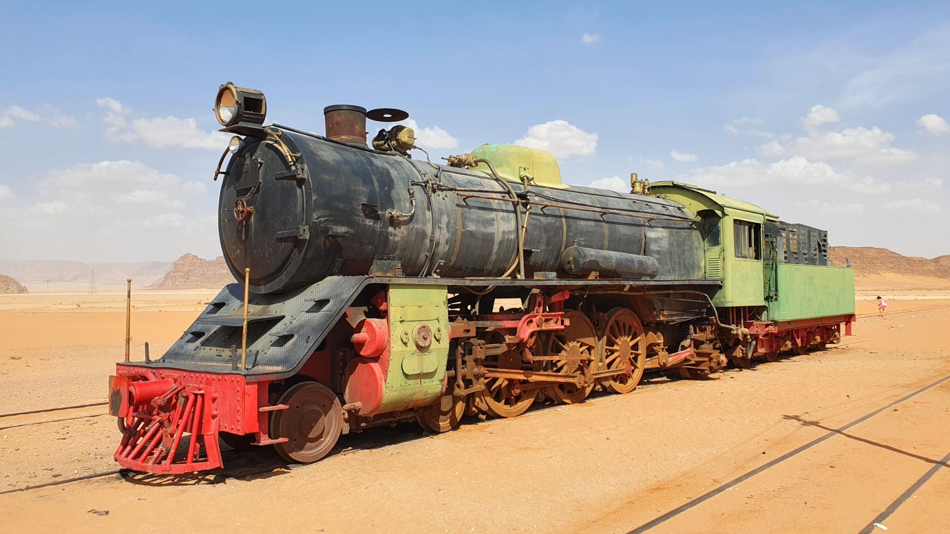
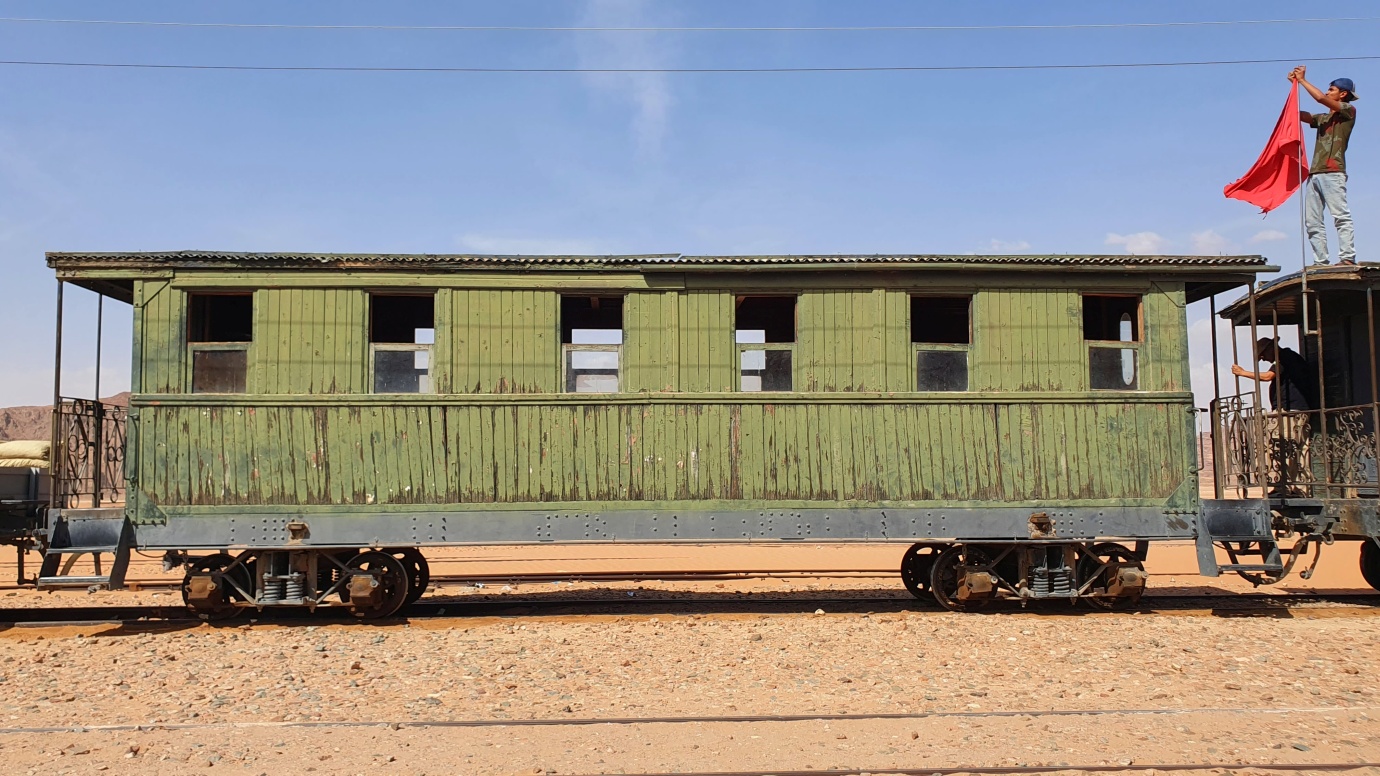
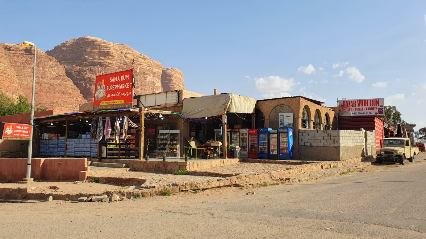
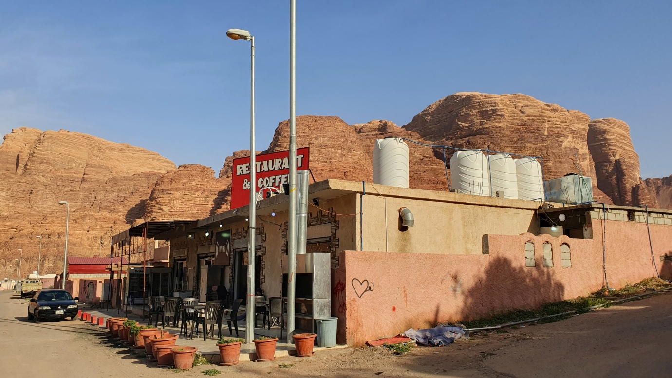
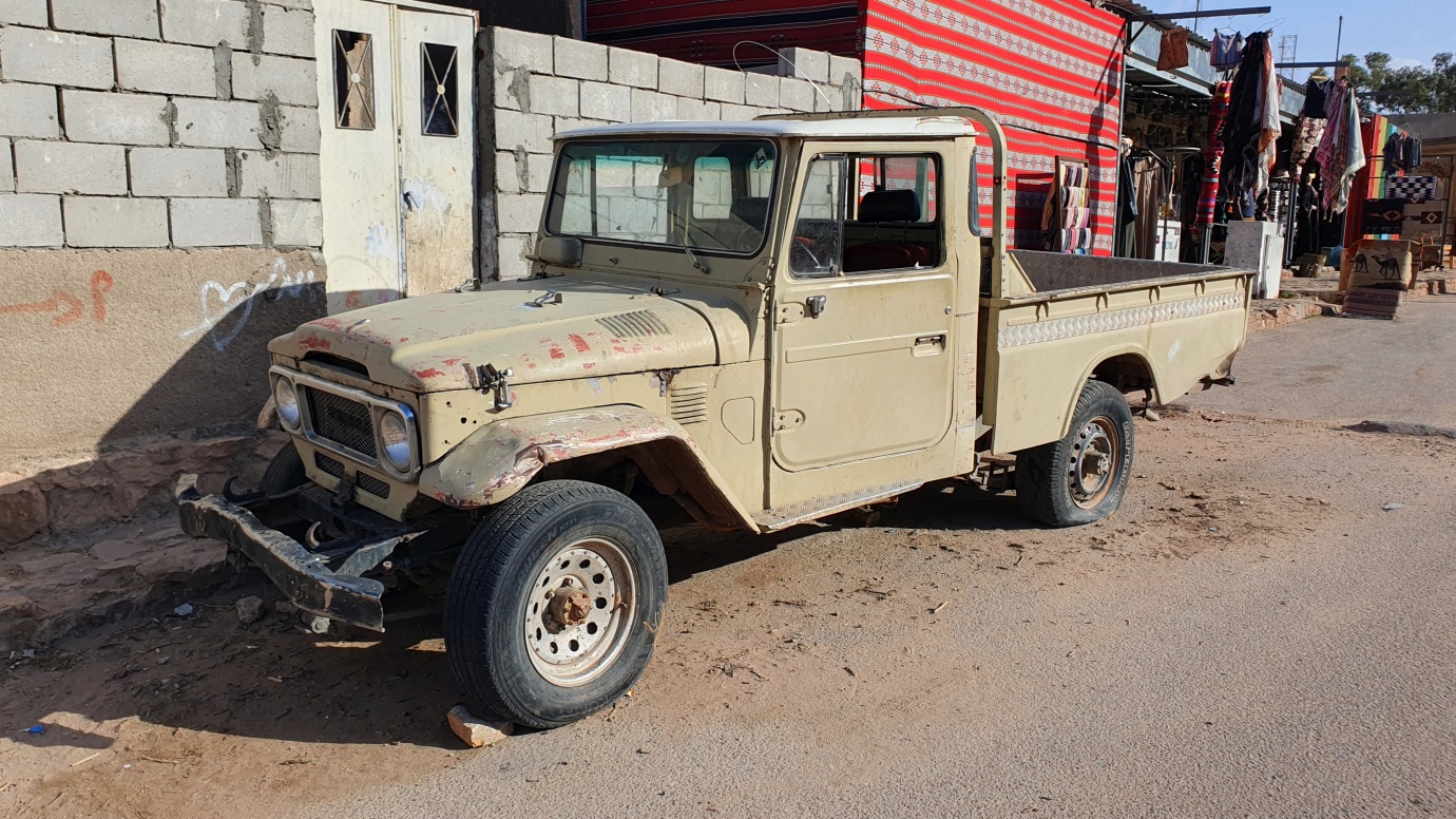
We drove to the Wadi Rum Protected Area (included in Jordan Pass) to the village of Rum, where the paved road ends. And, like in other destinations in Jordan, forget what is written in the books; most establishments also went bankrupt due to COVID-19. So, some private drivers of old pick-ups who can drive you around, two mini markets, one souvenir shop, and a few surviving desert camps remain. If you want to put credit on your phone to get more data (40 GB / 13 JOD / 30 days with Orange), change money, or get some groceries, driving to the nearest JoPetrol (diesel 0,73 JOD / l) station is better, on the way is Hejaz Railway station with one old train and one old steam locomotive.
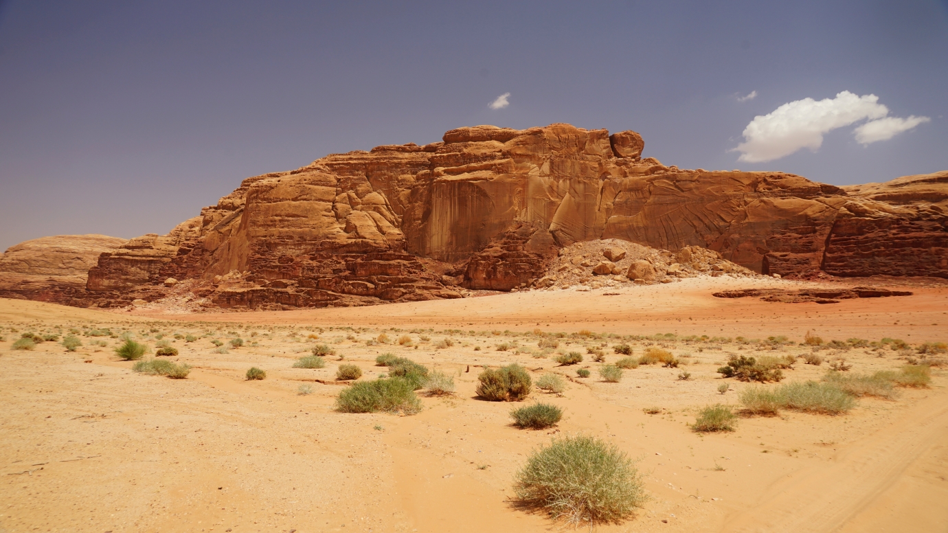
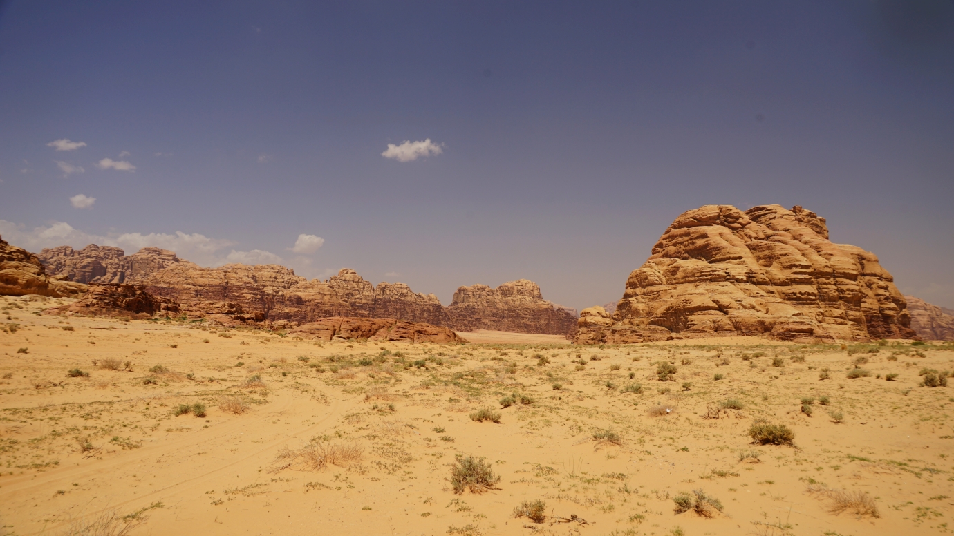
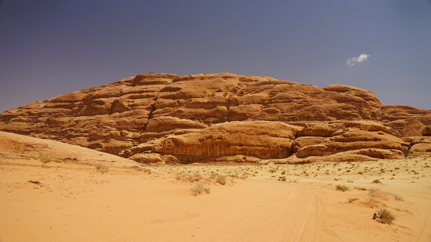
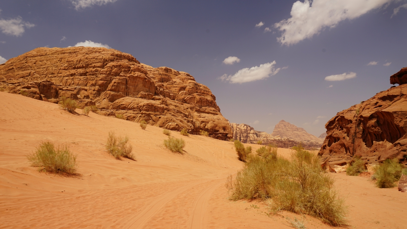
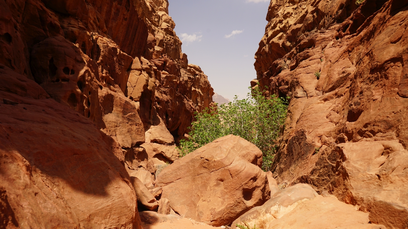
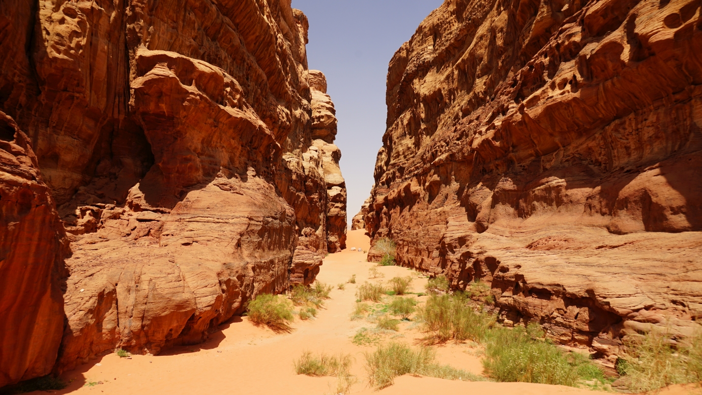
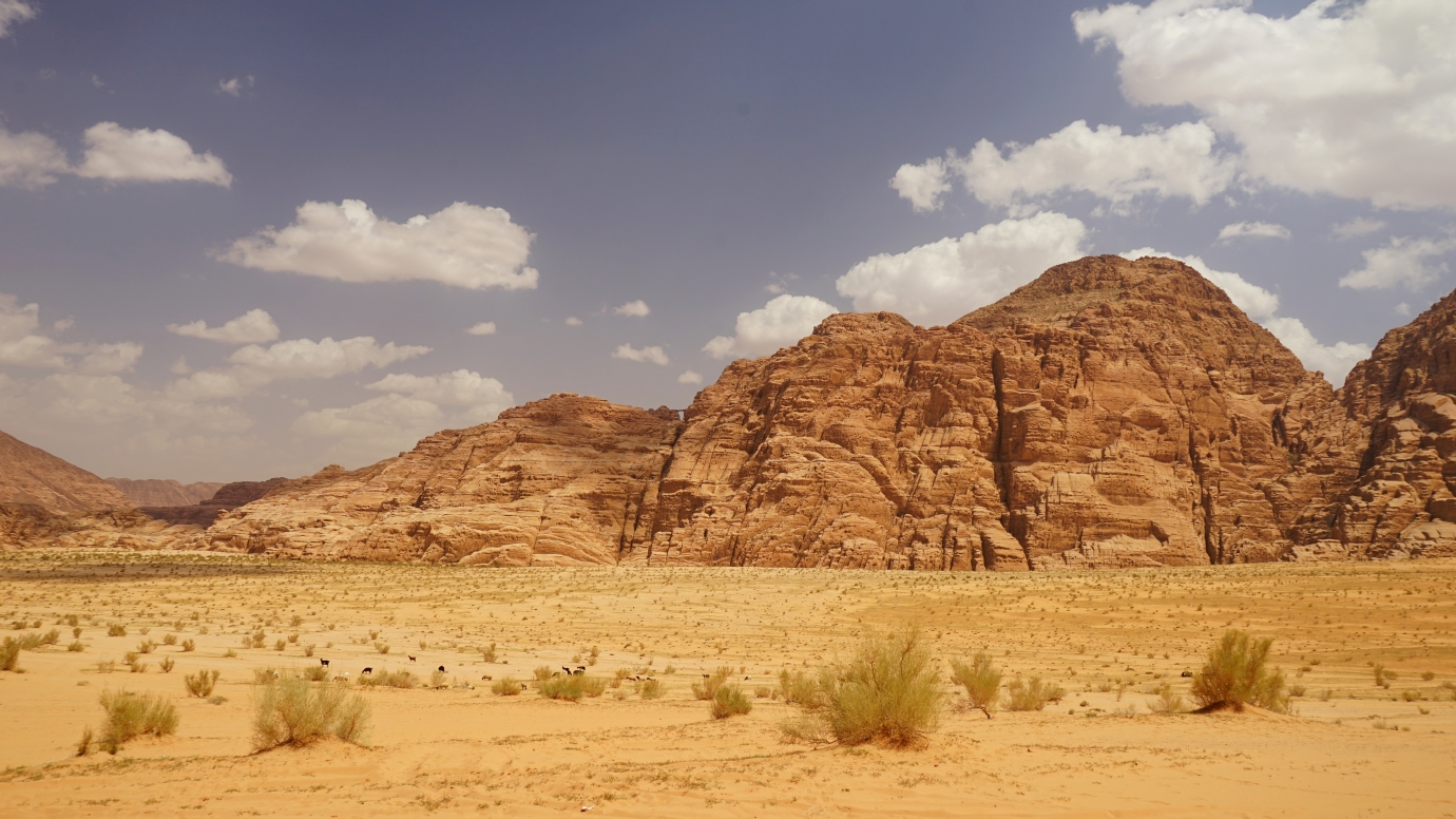
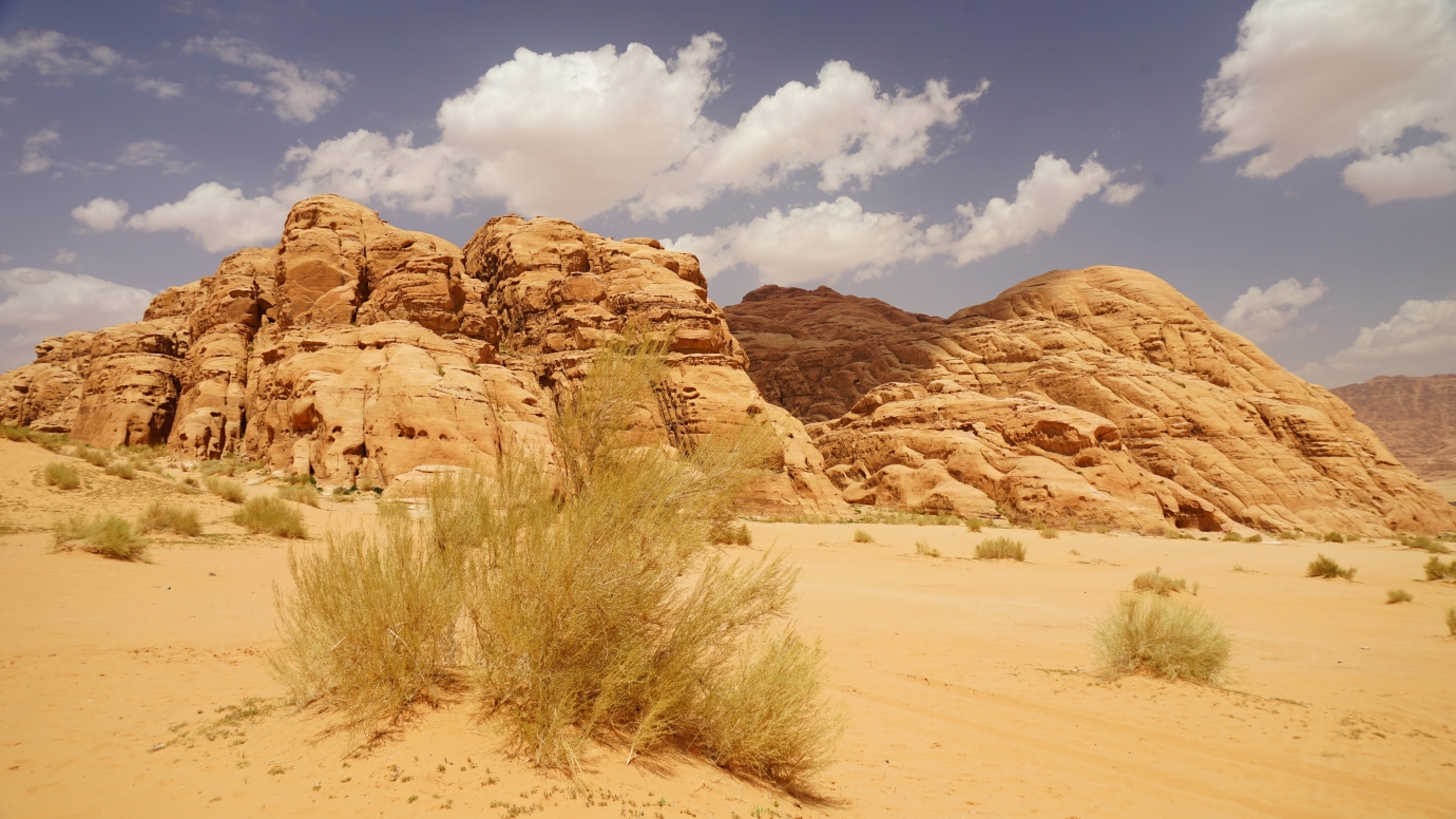
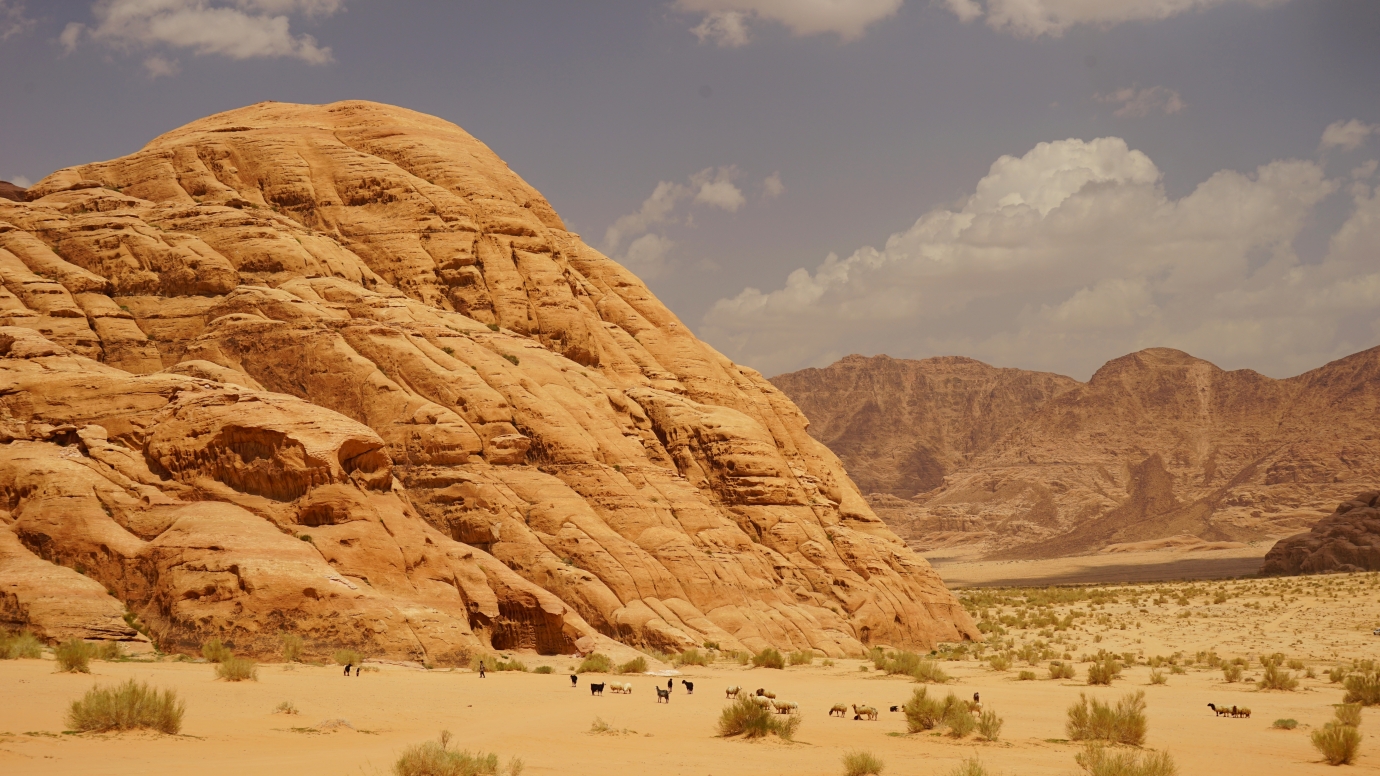
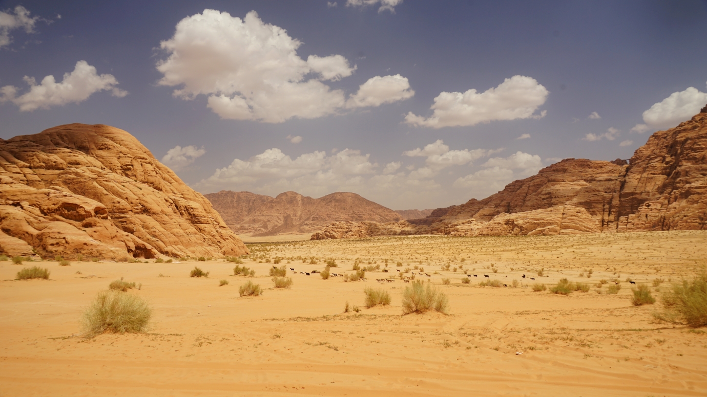
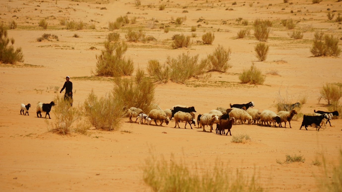
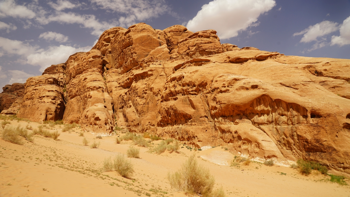
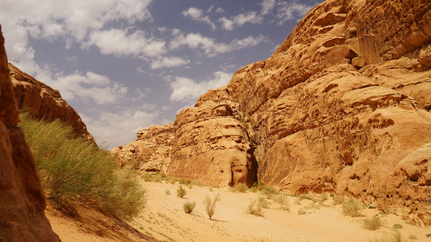
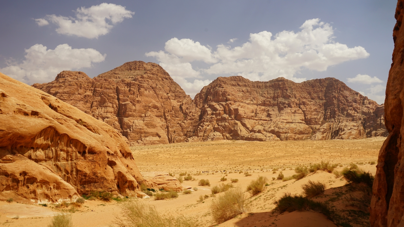
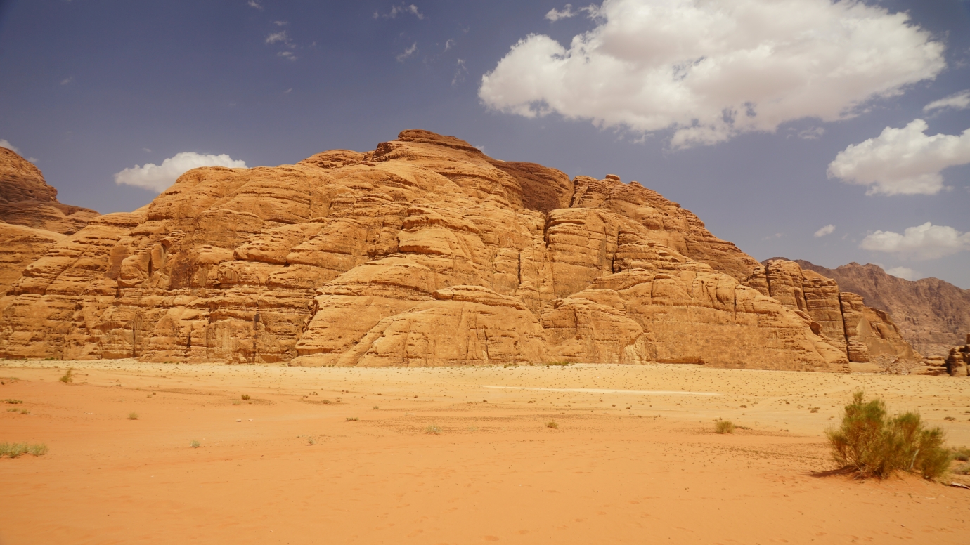
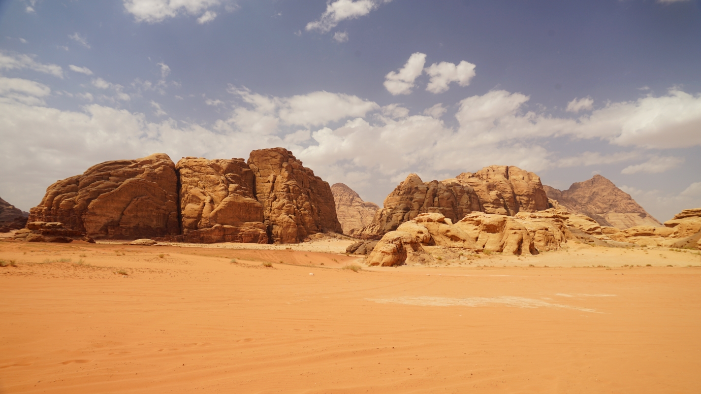
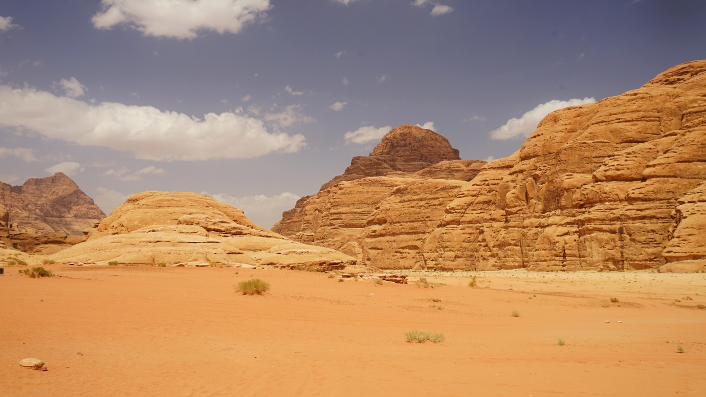
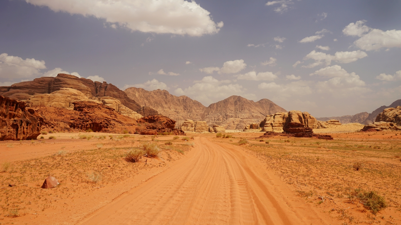
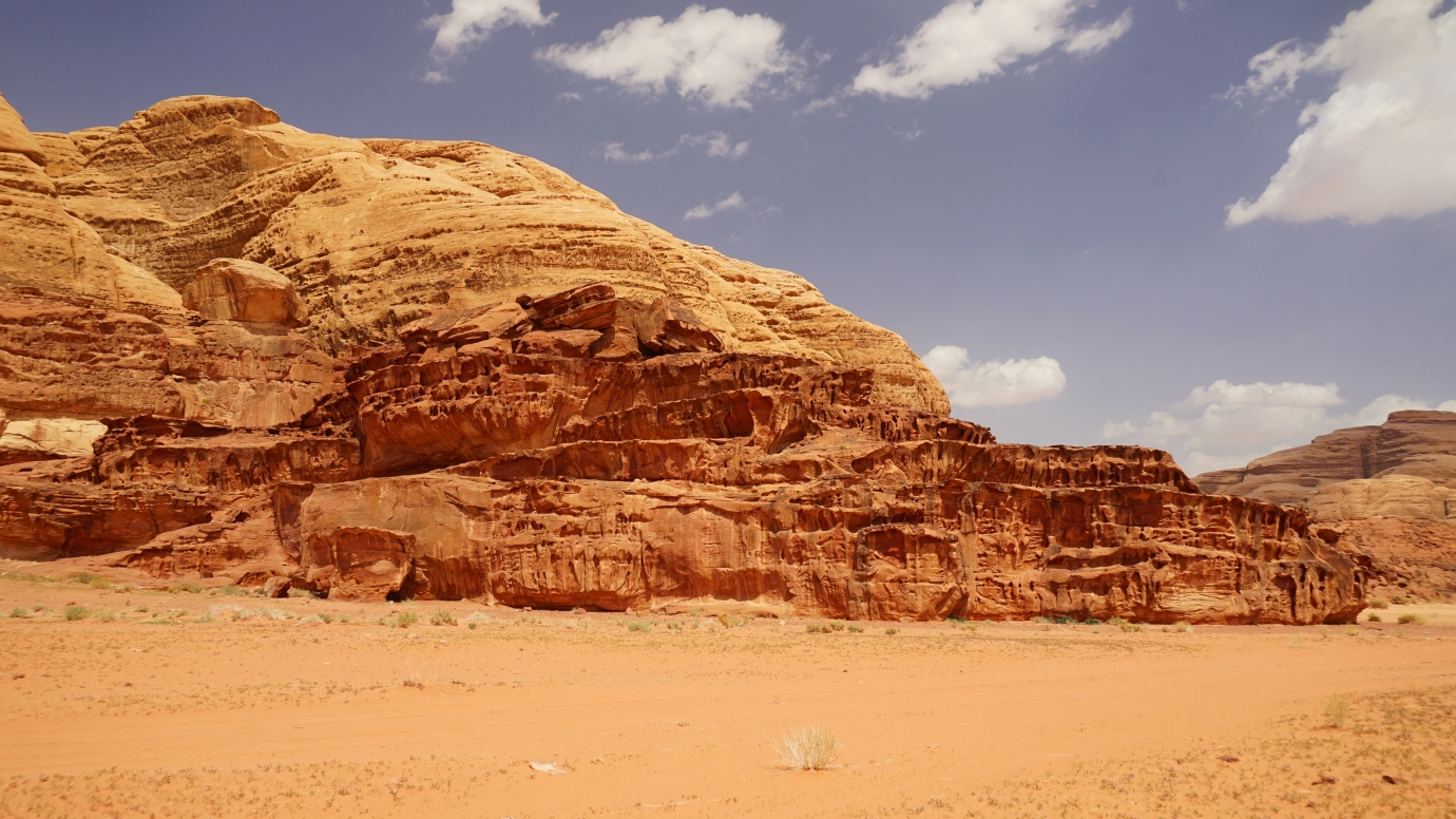
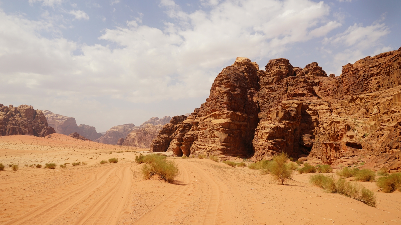
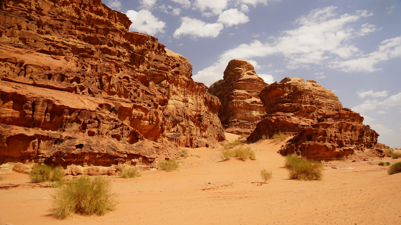
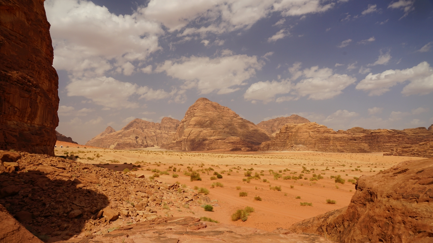
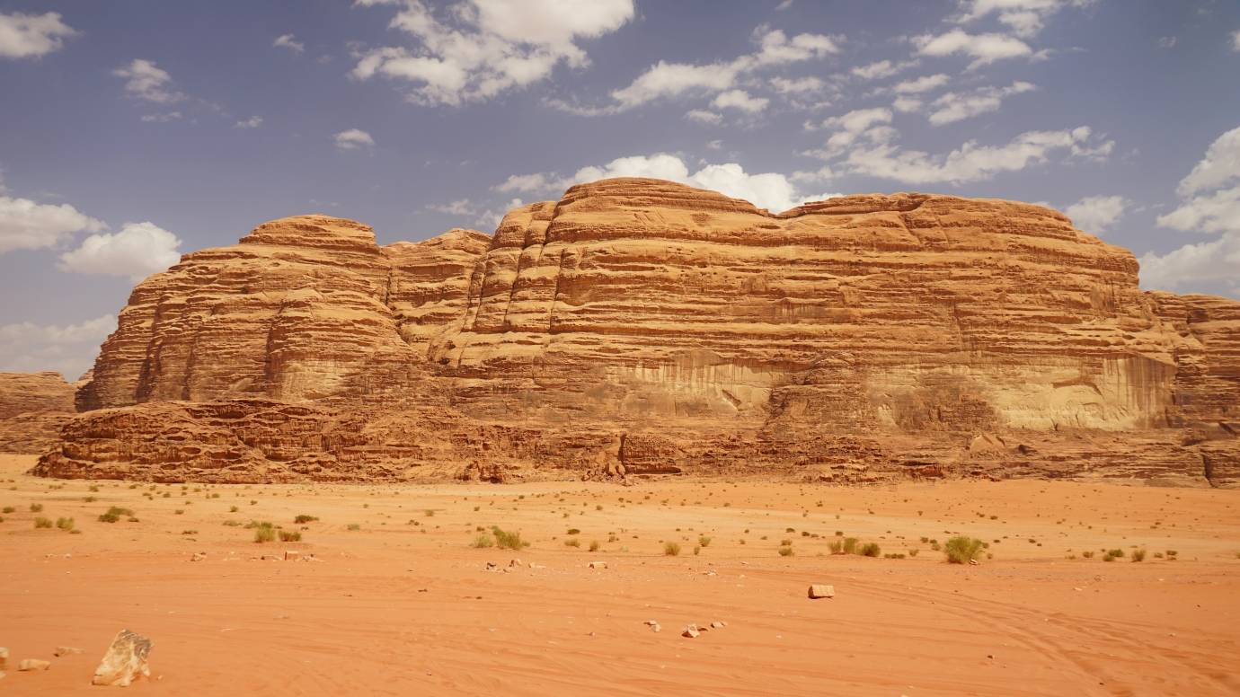
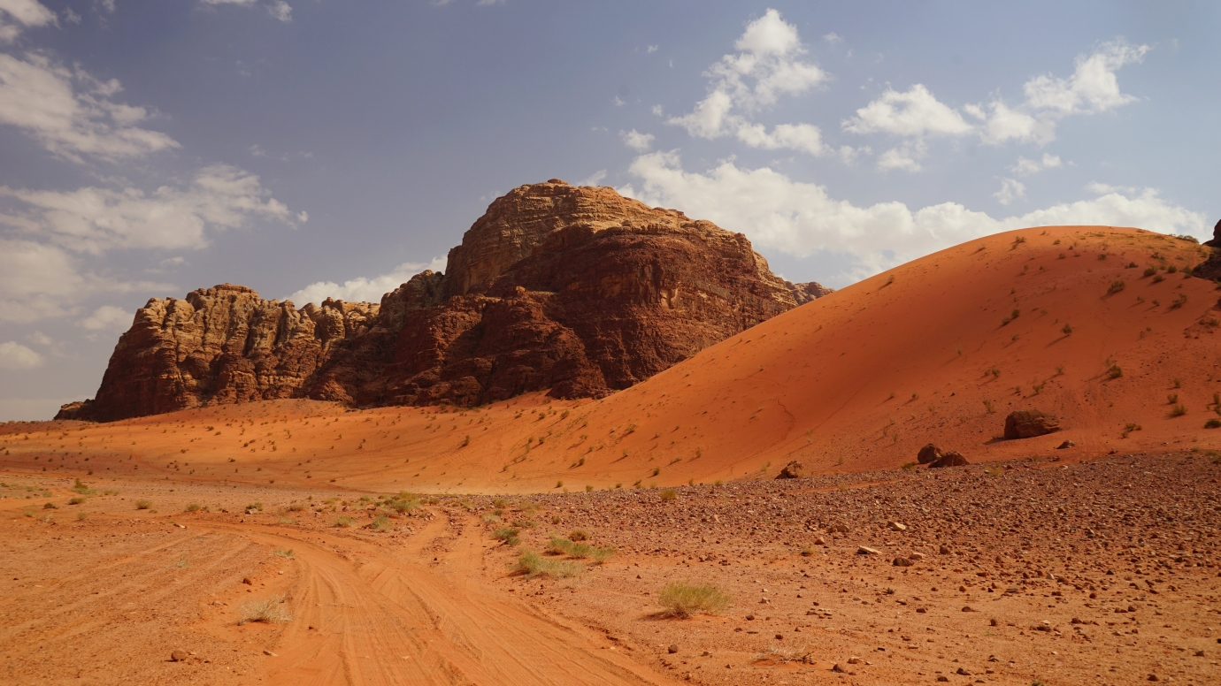
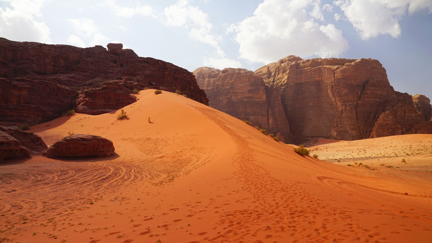
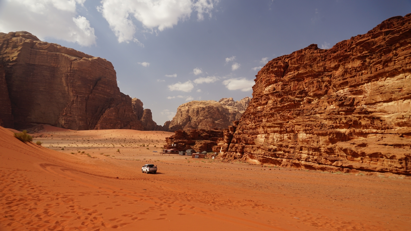
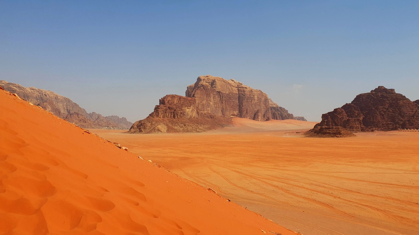
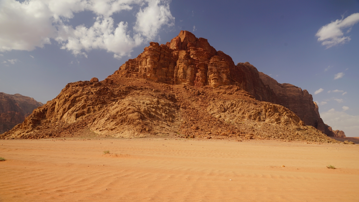
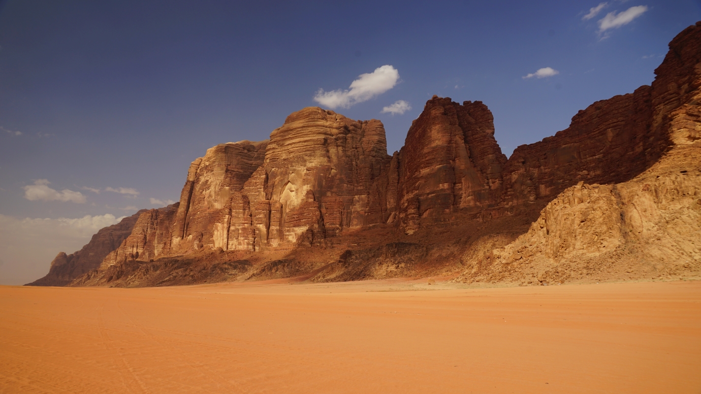
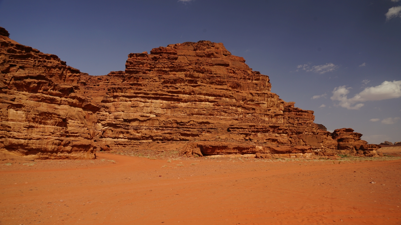
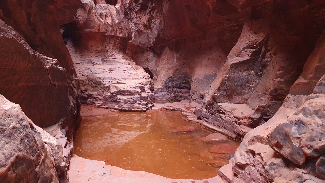
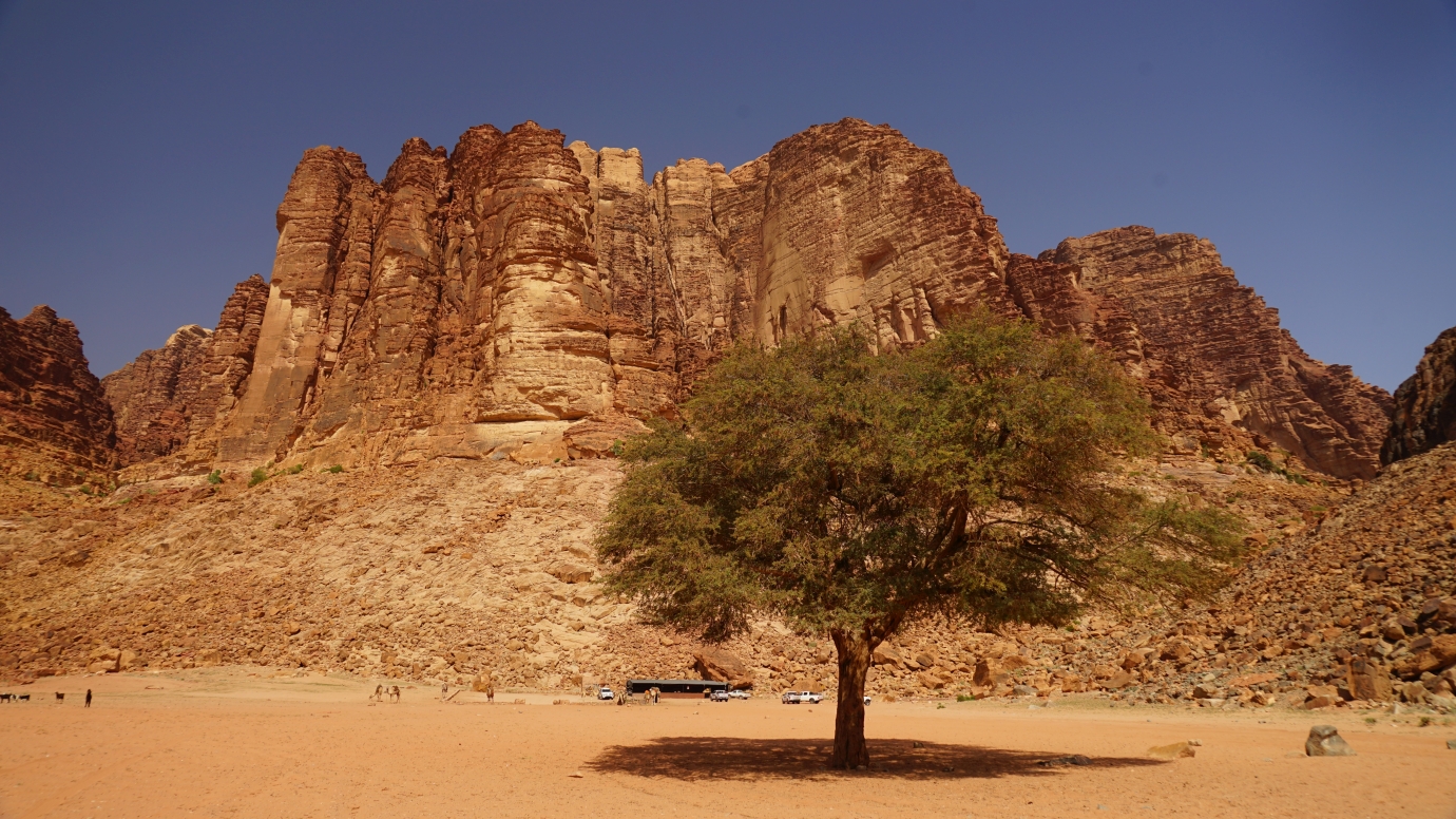
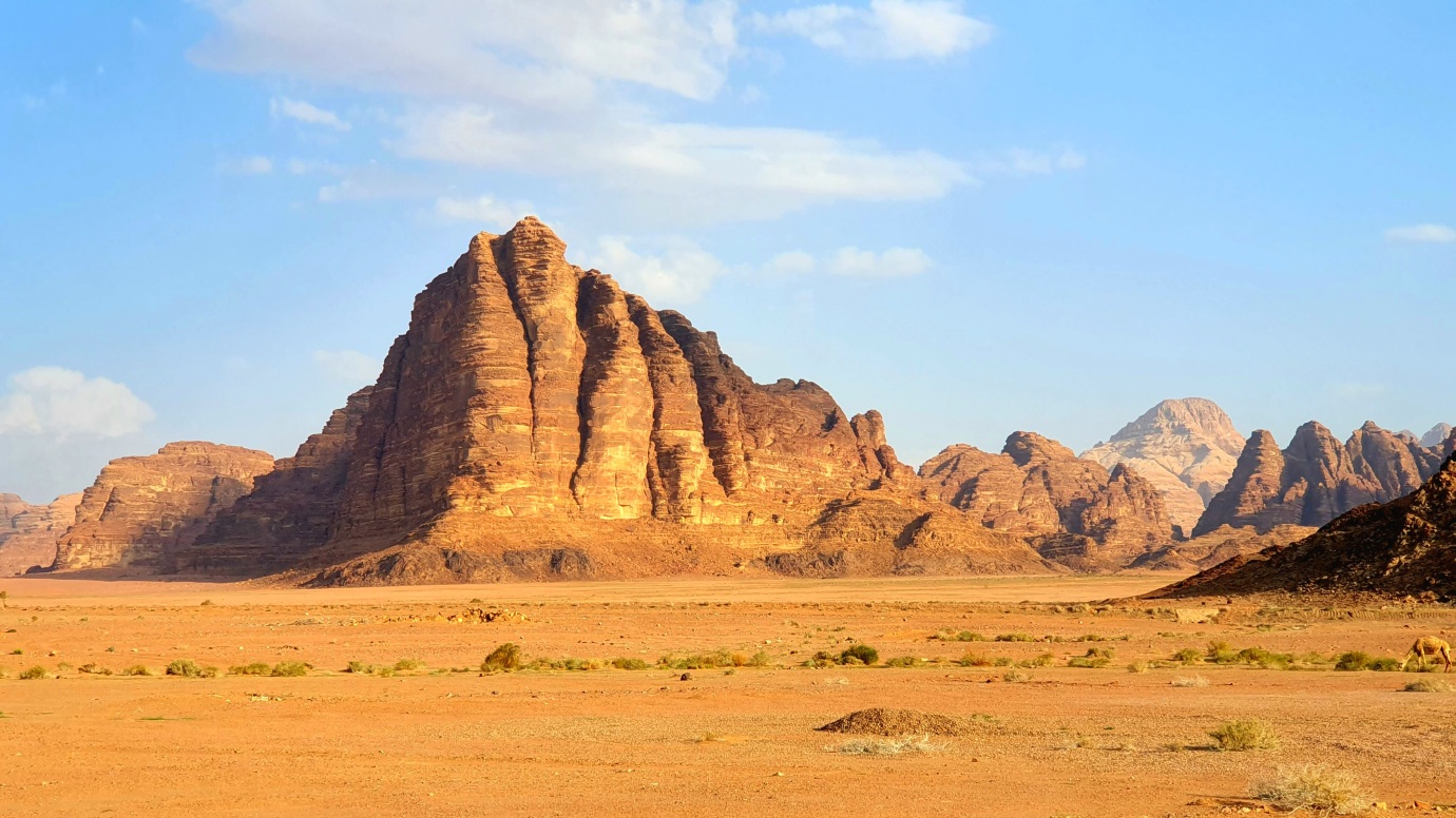
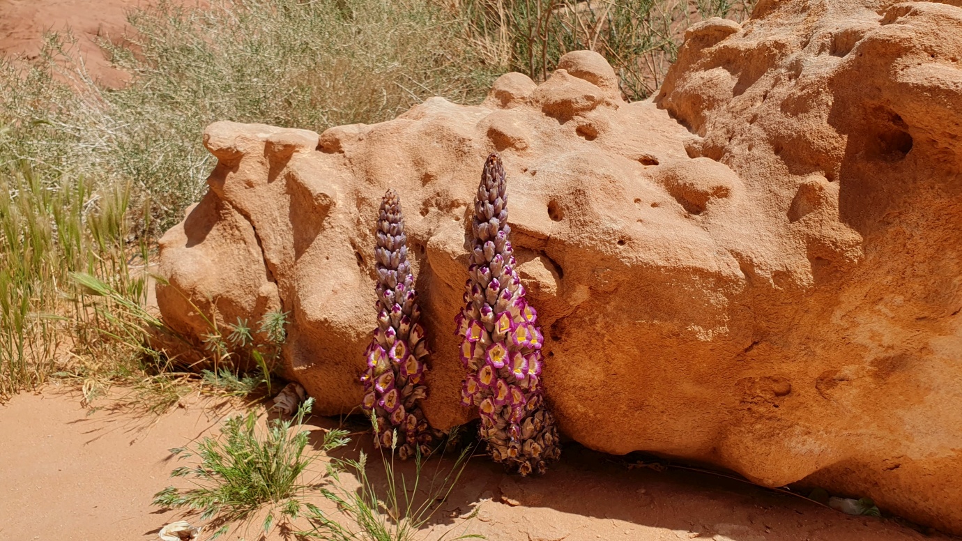
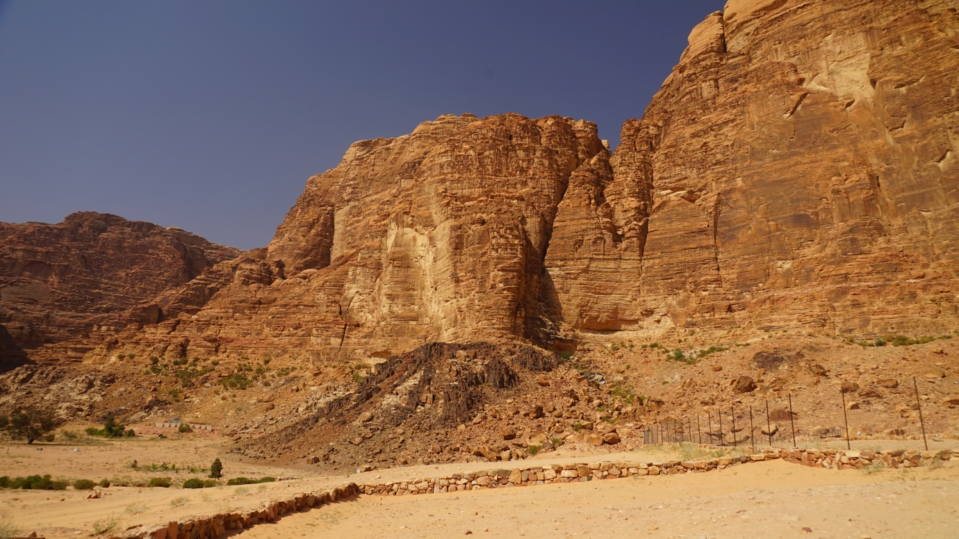
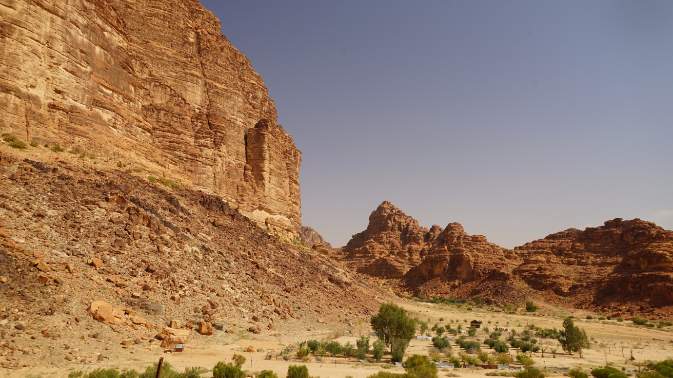
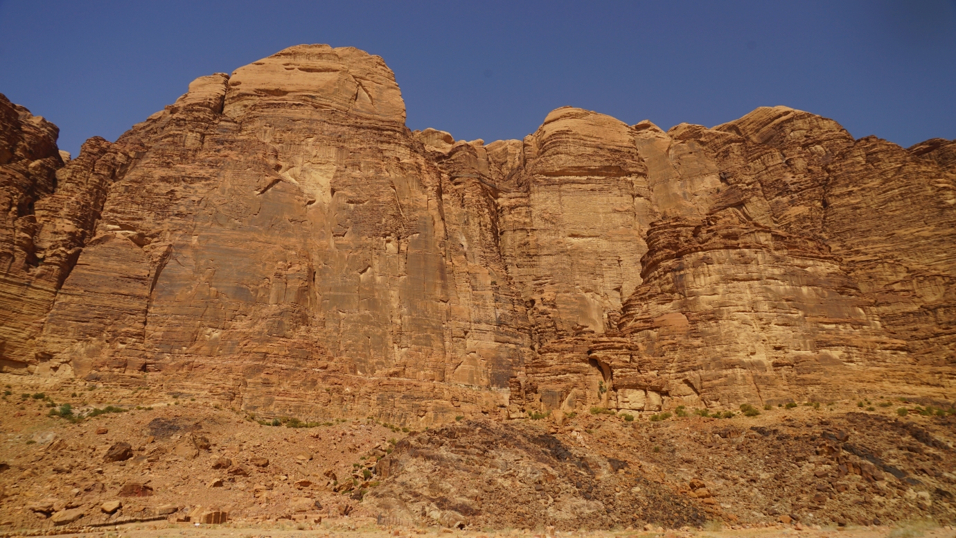
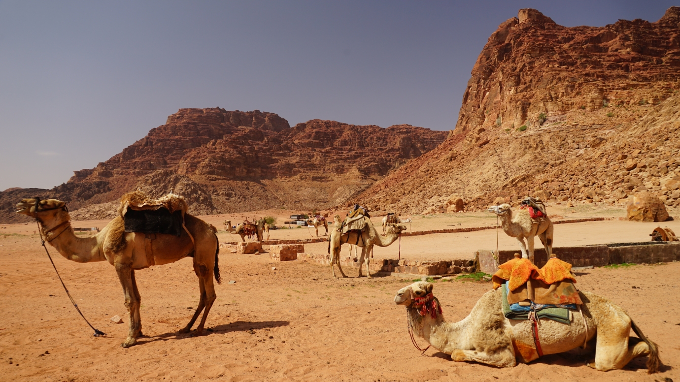
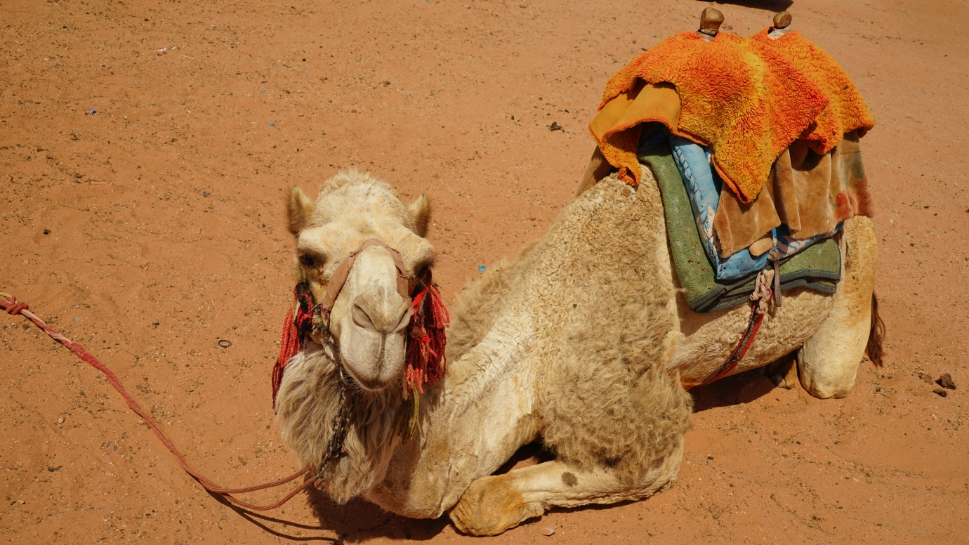
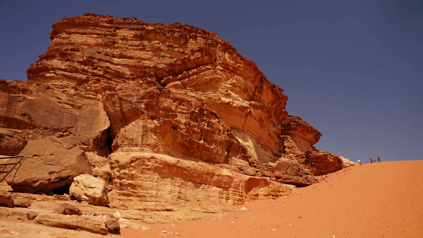
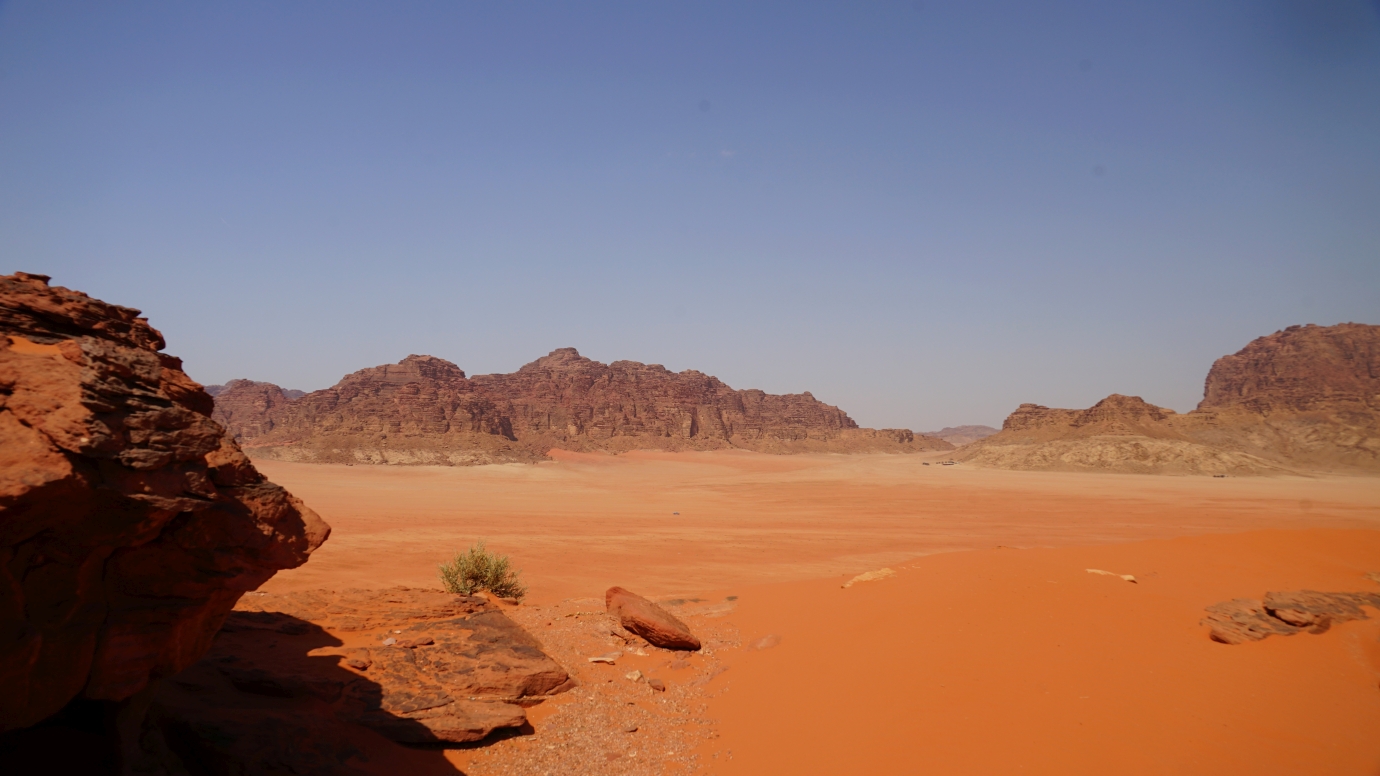
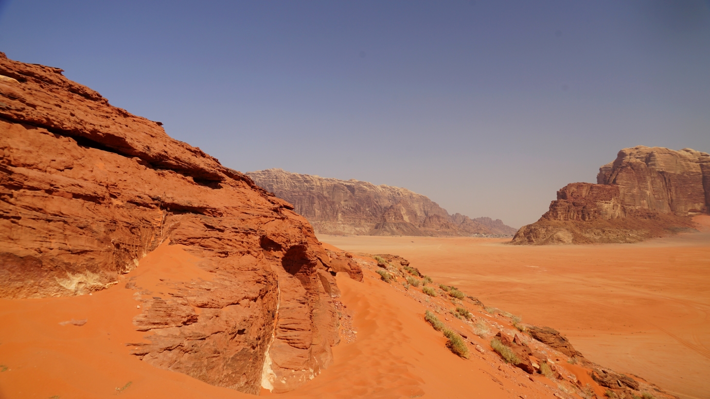
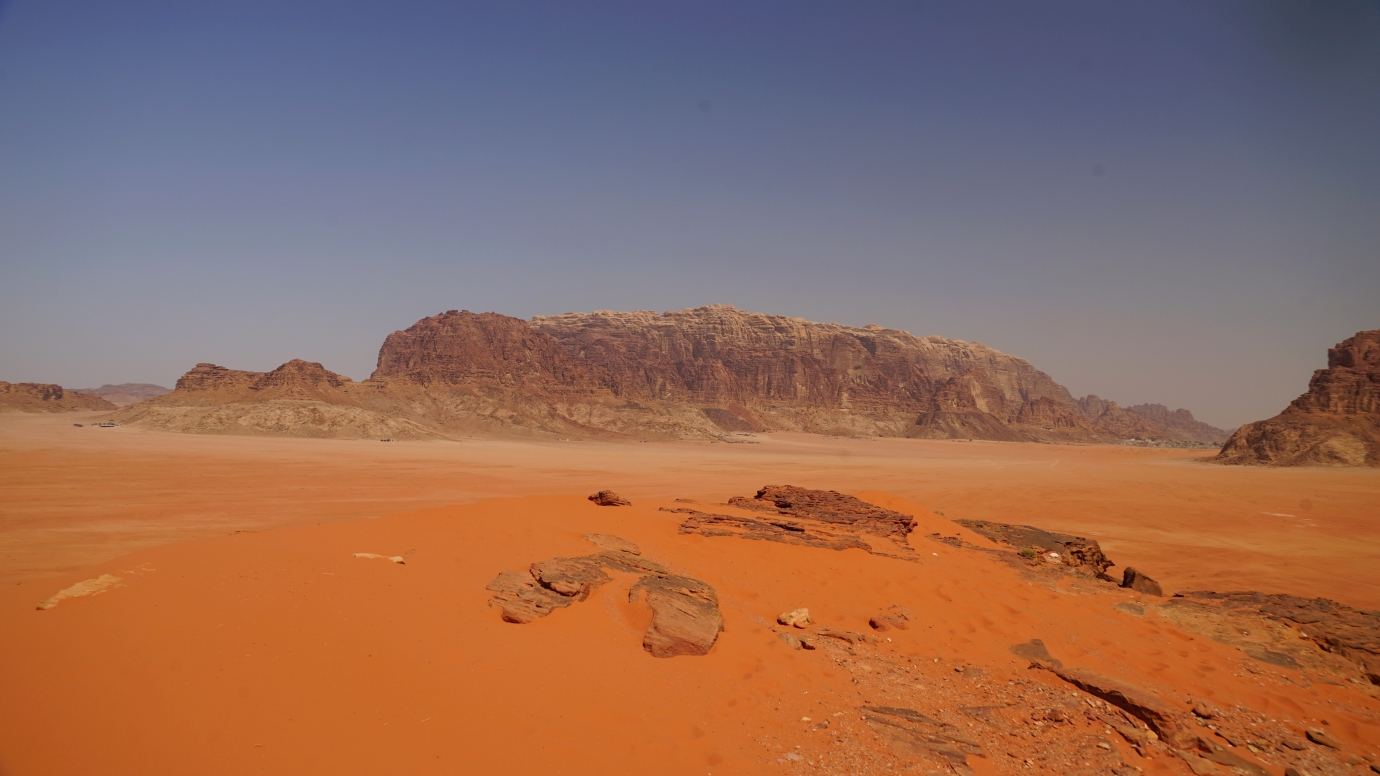
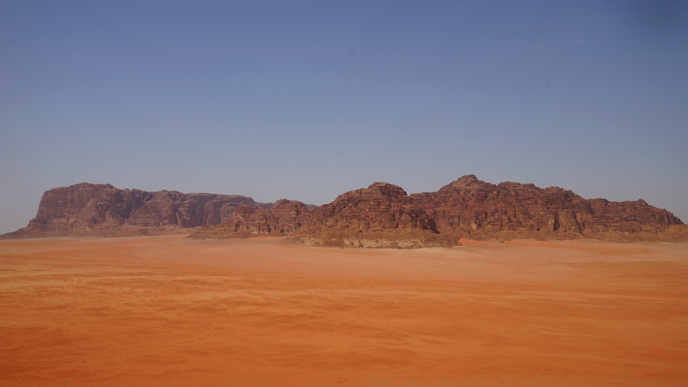
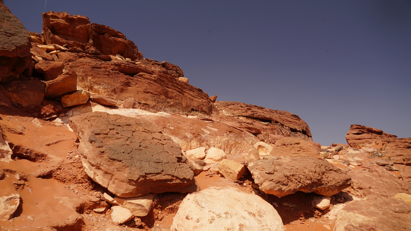
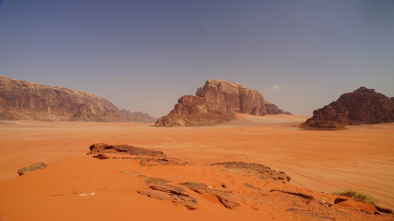
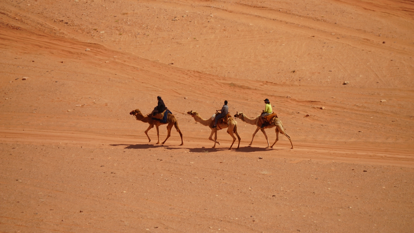
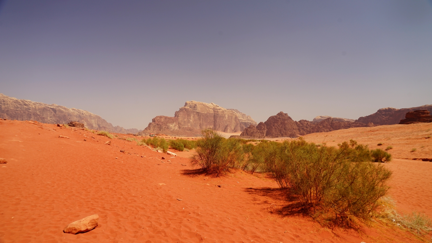
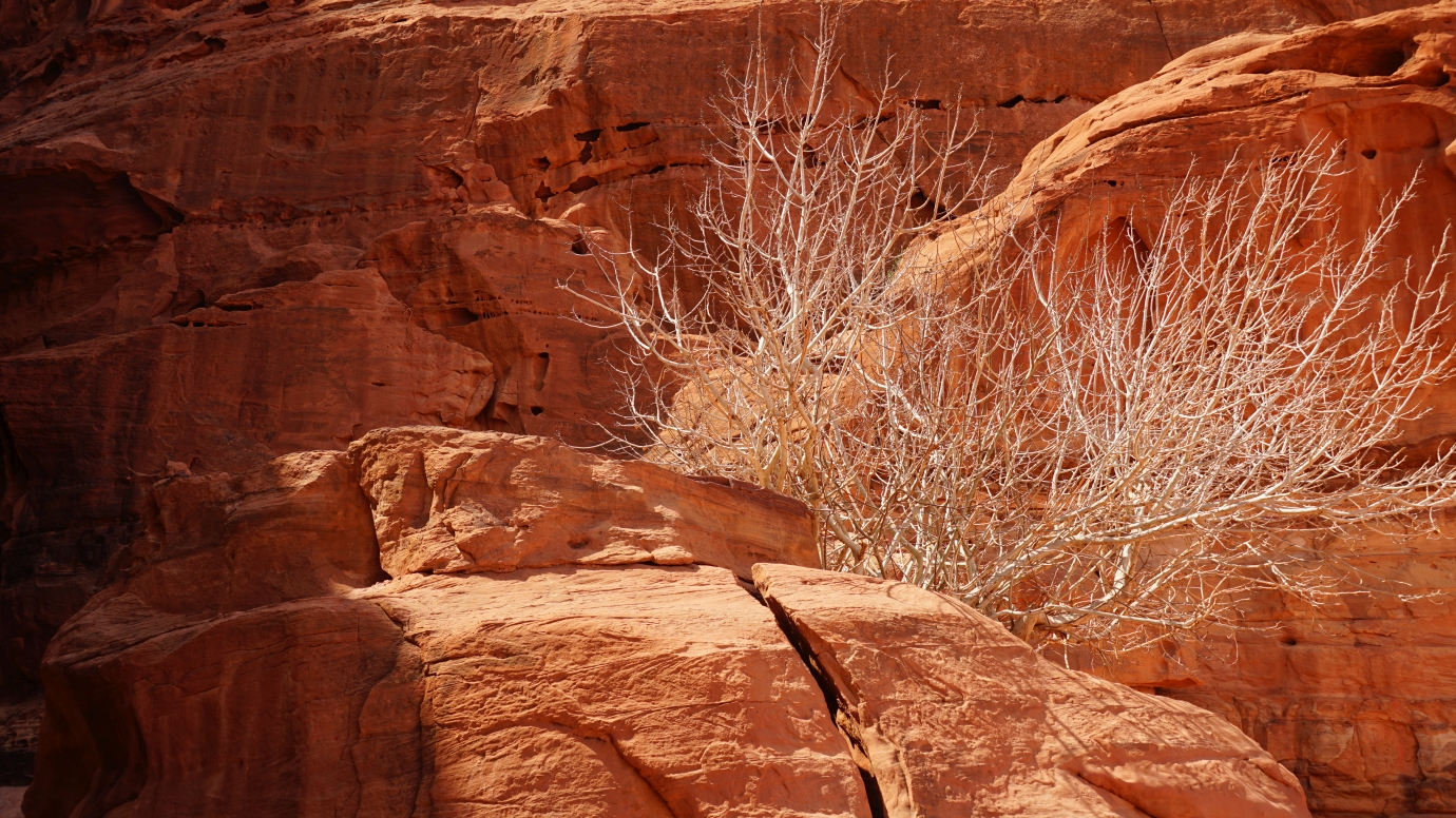
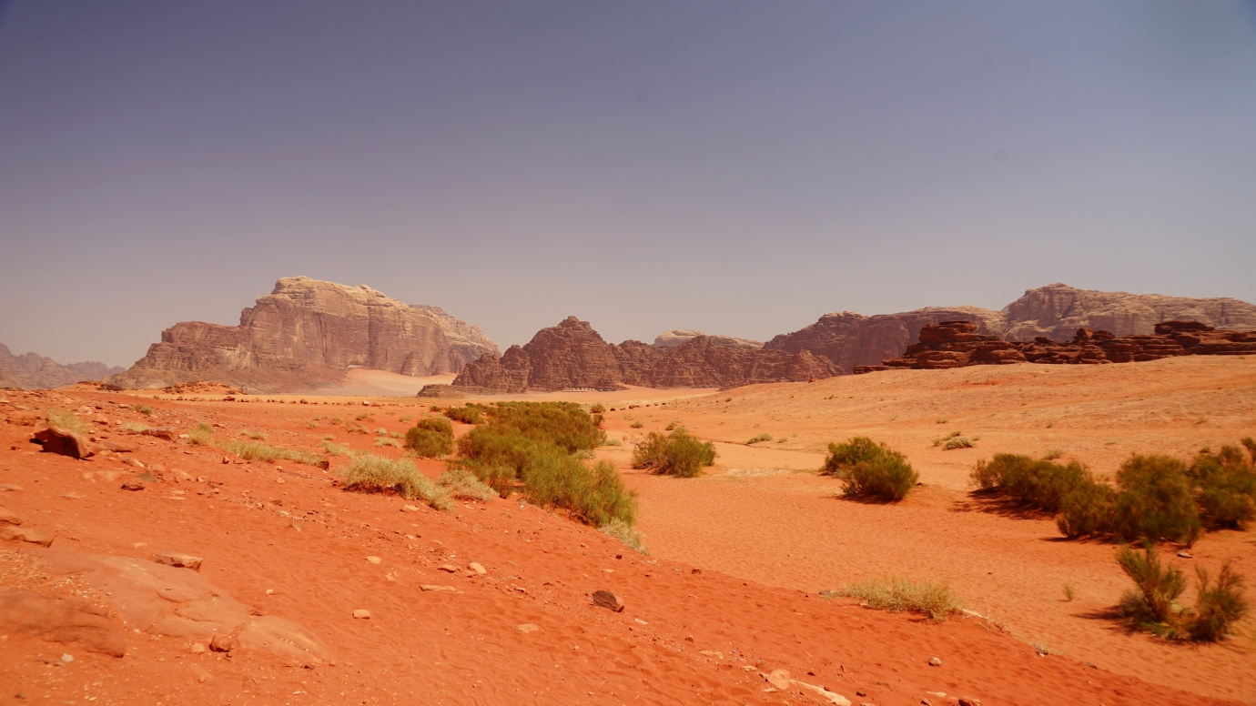
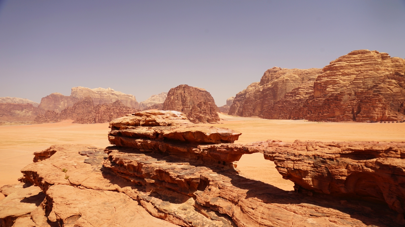
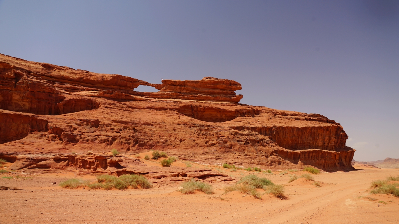
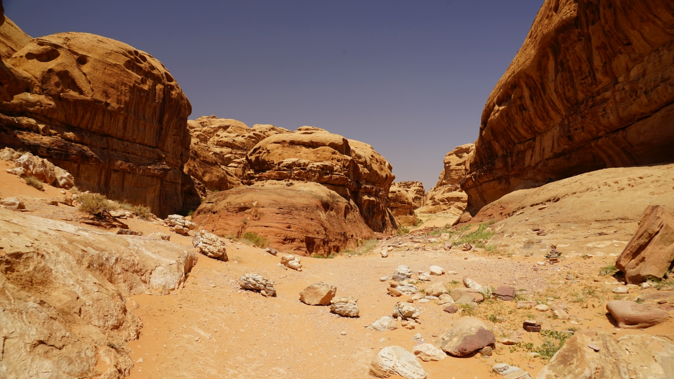
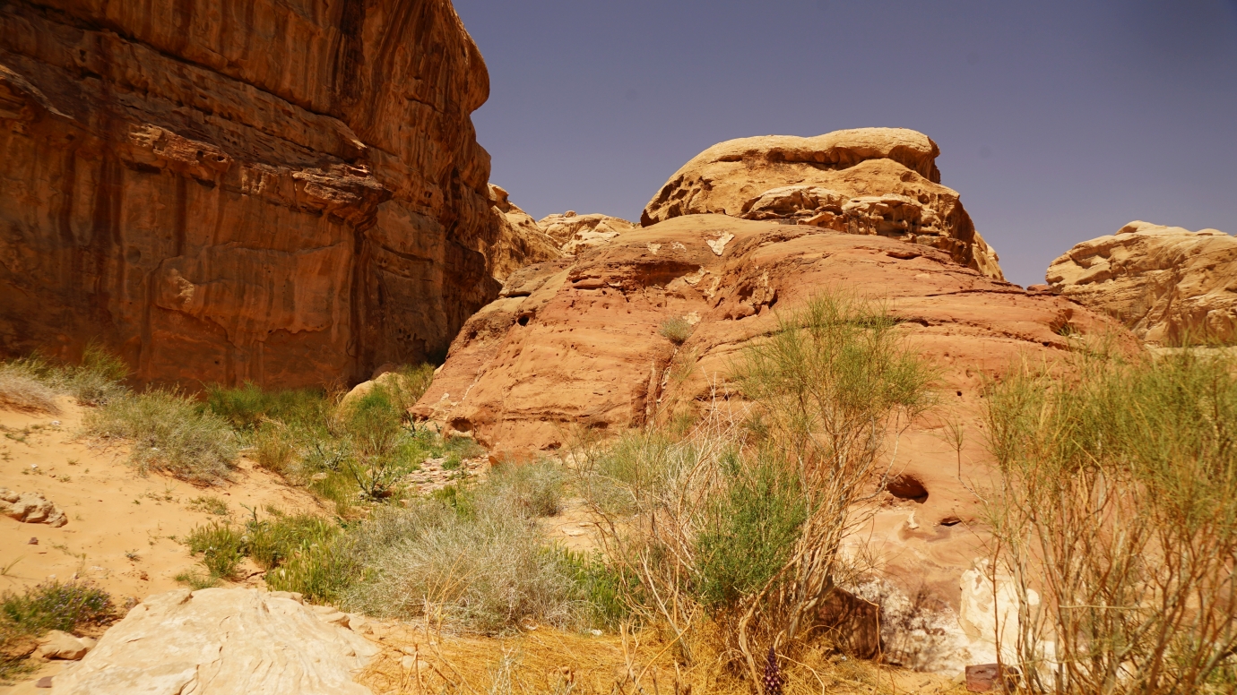
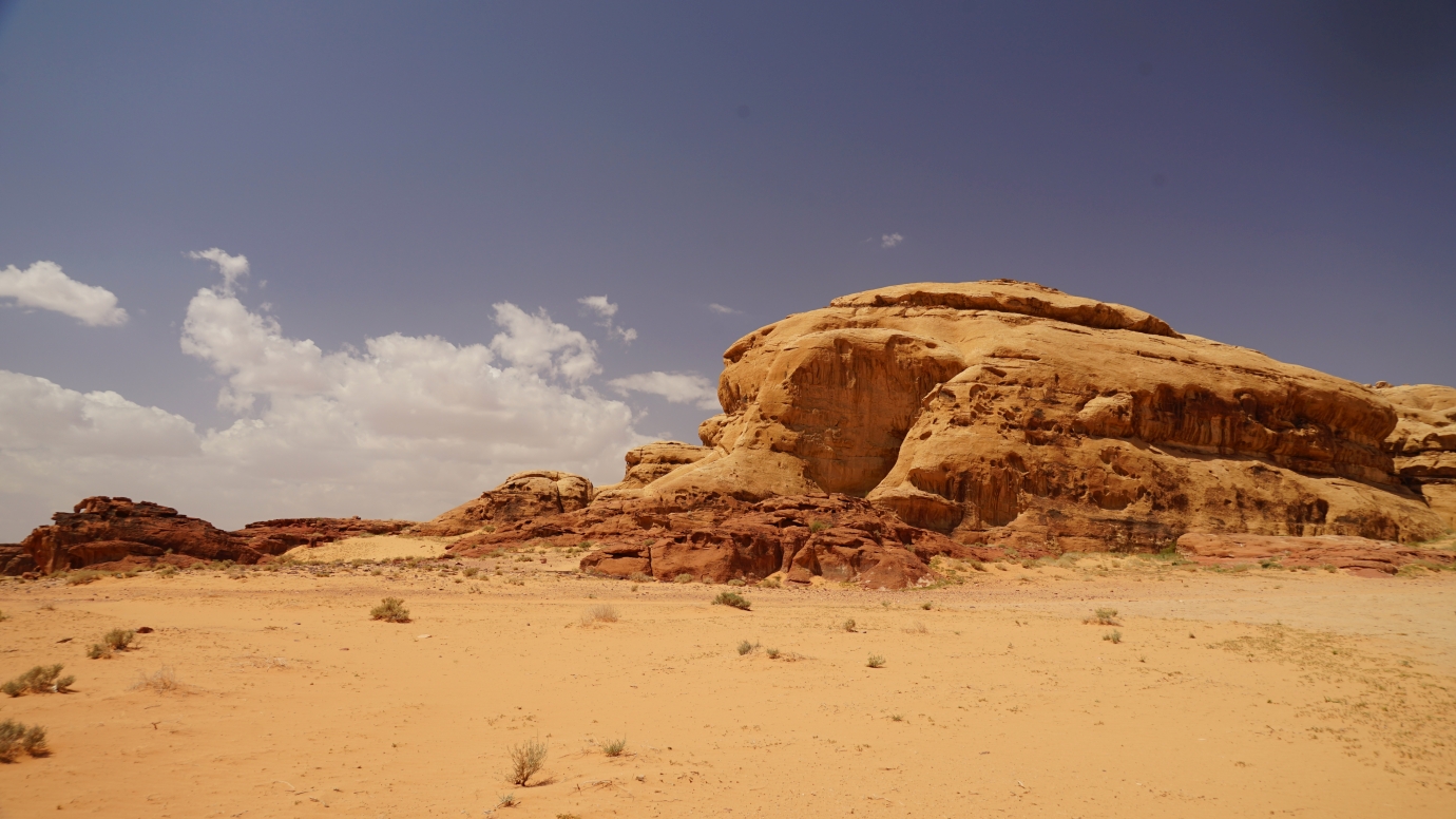
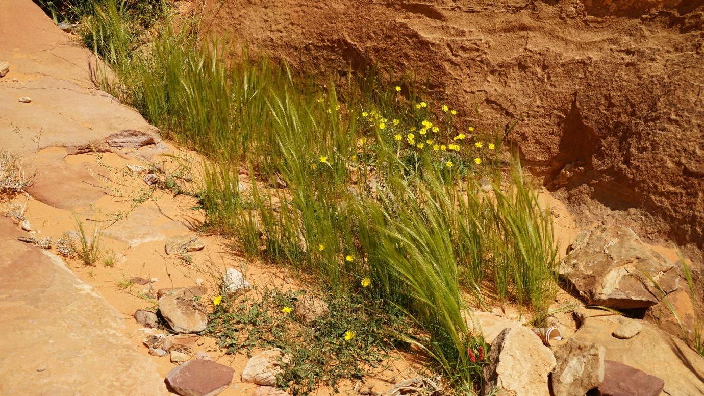
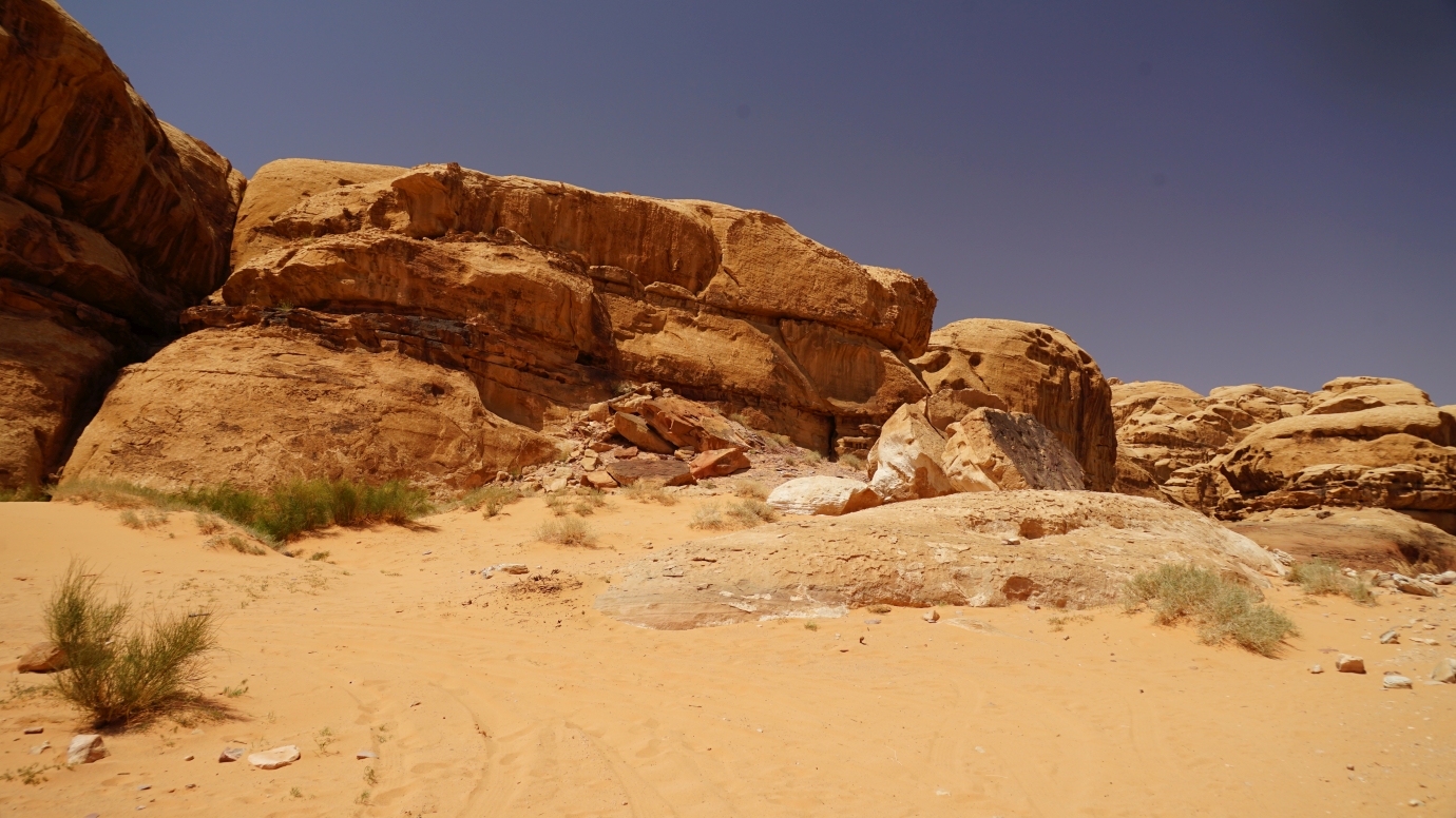
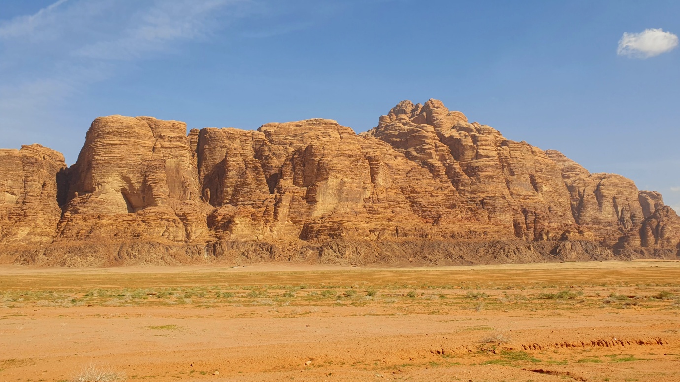
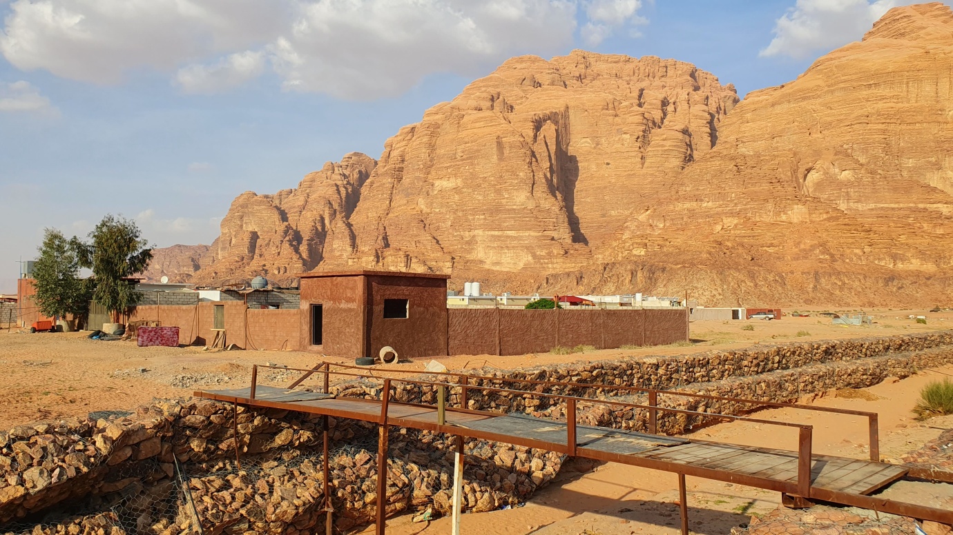
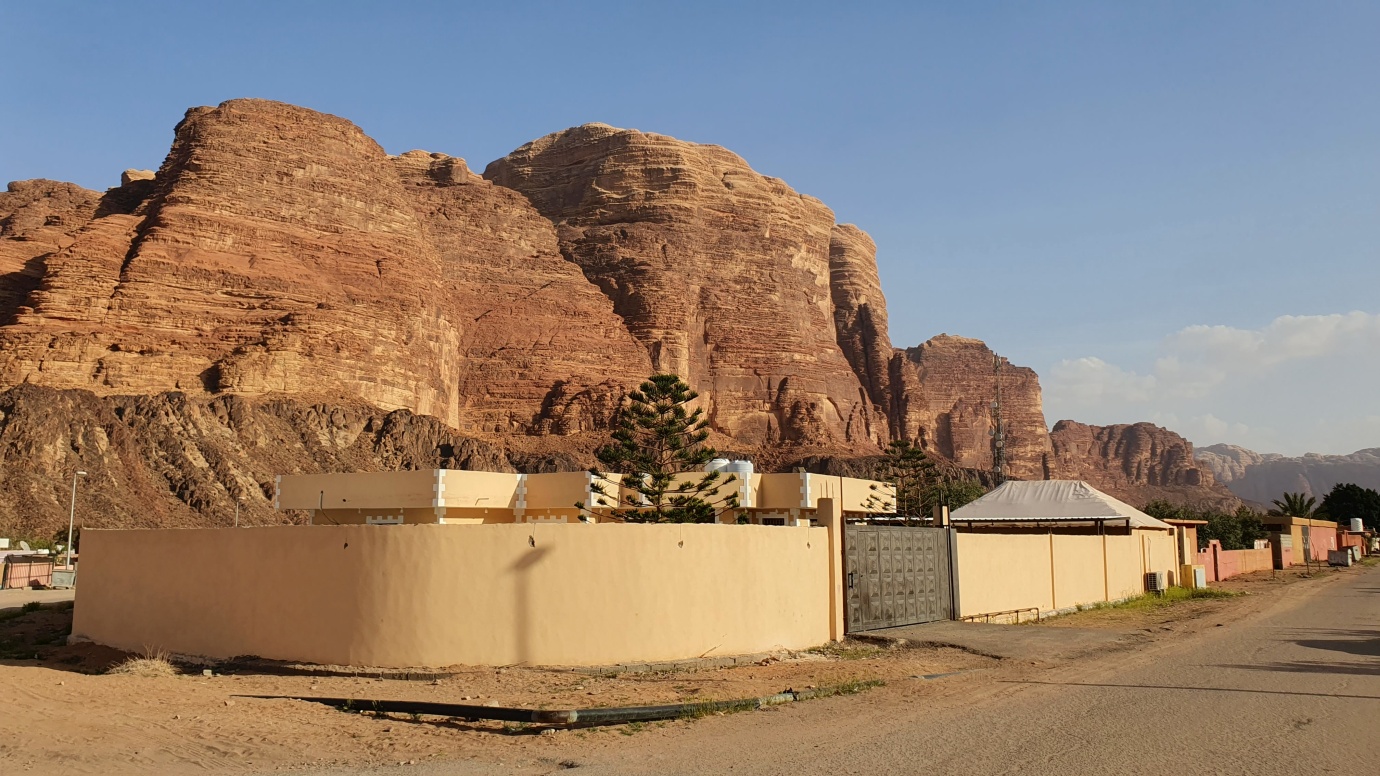
Wadi Rum offers one of the easiest and safest glimpses of Earth’s most spectacular desert landscapes. It is the largest ‘wadi’ dry valley in Jordan. It is a diverse desert area, with tough rocky outcrops of red rock and flat areas covered in sand or salt. Today, only a handful of Bedouin tribes live in the area, mainly in the Rum Village.
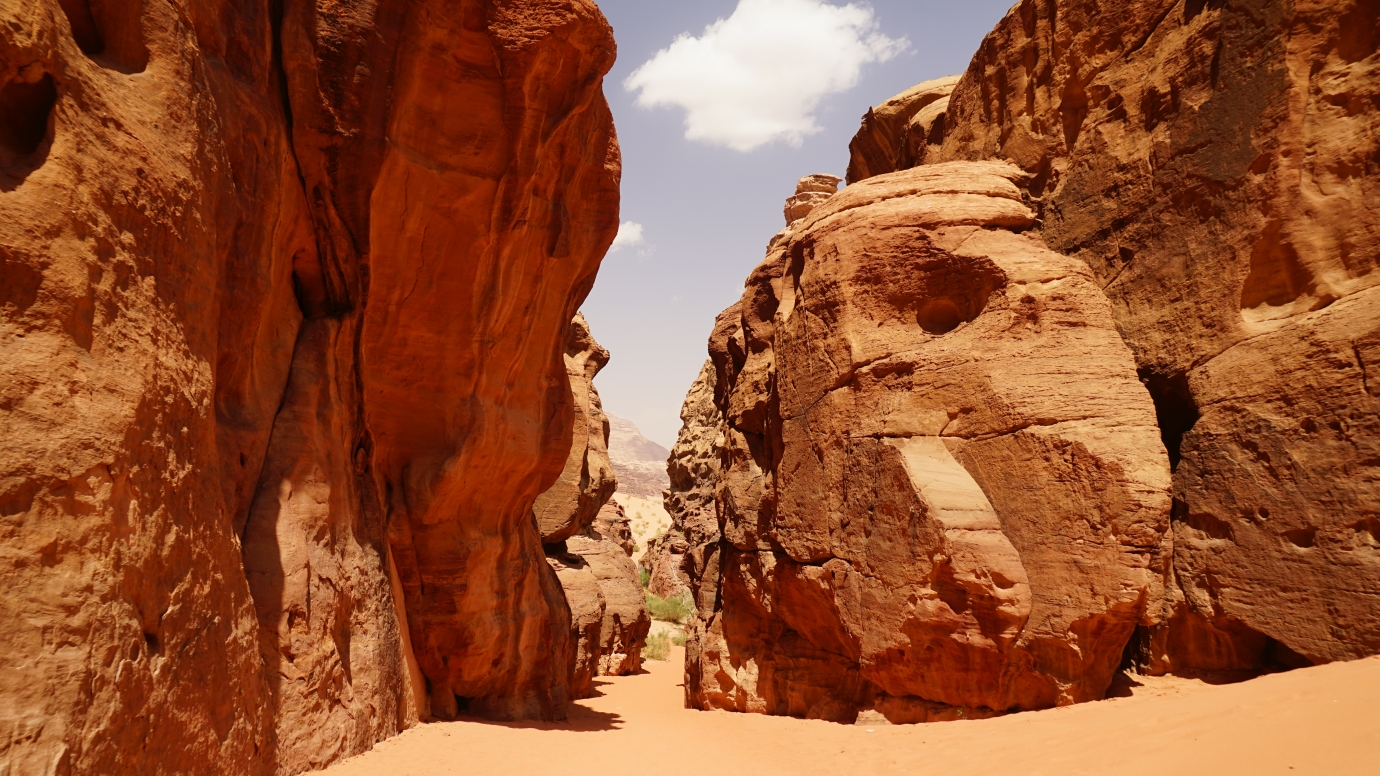
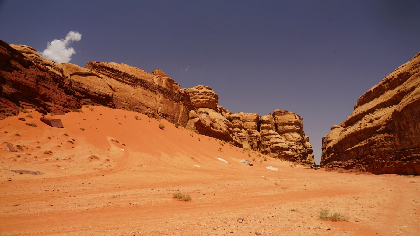
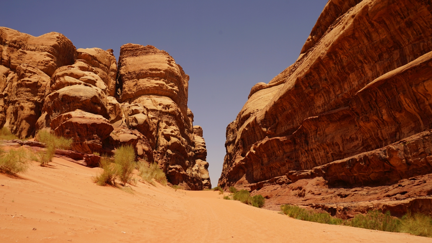
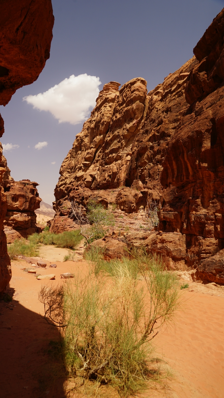
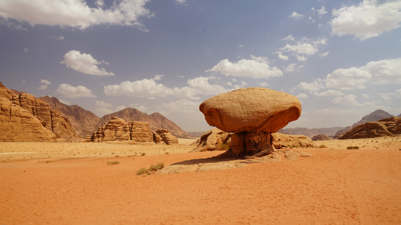
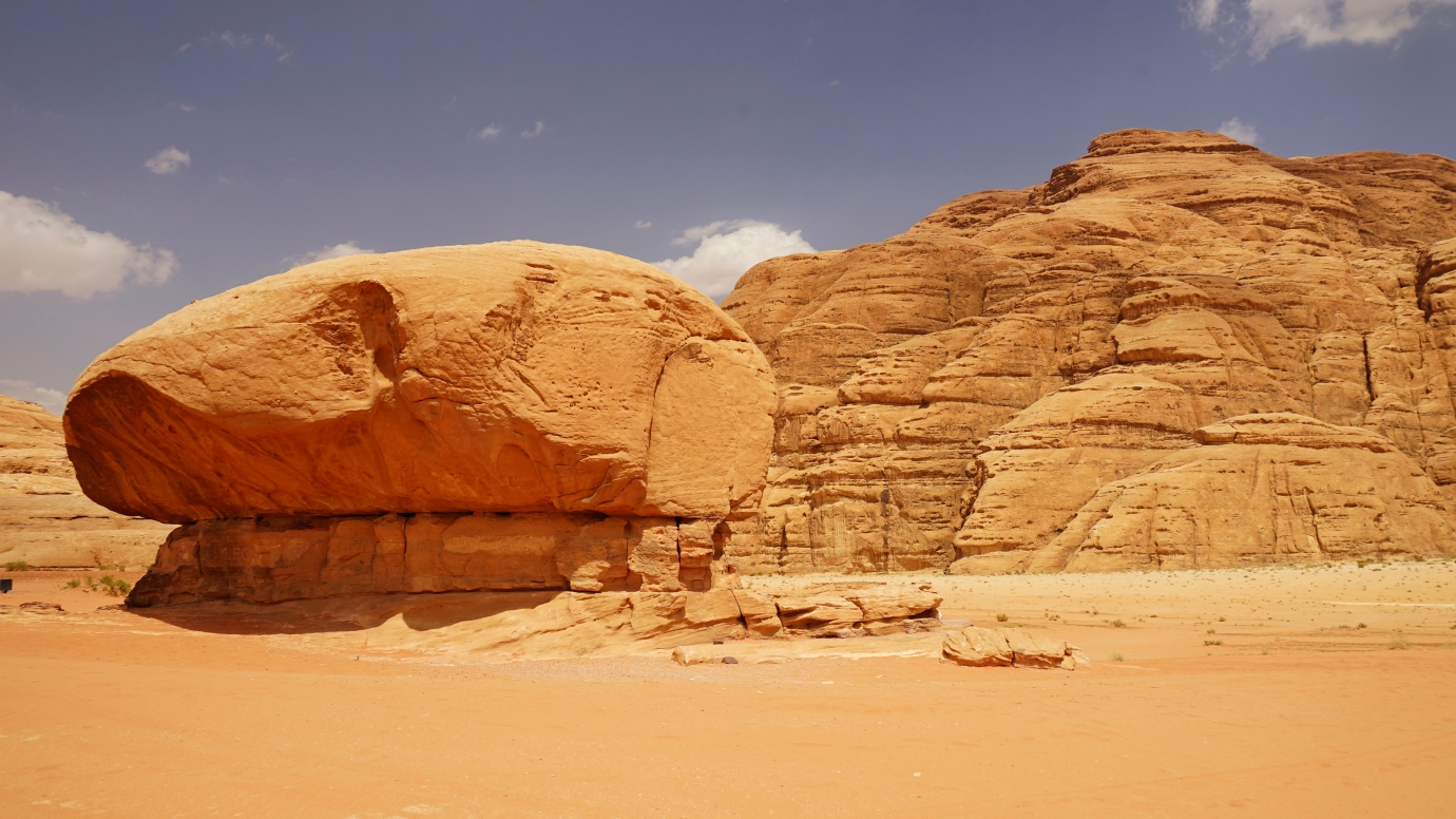
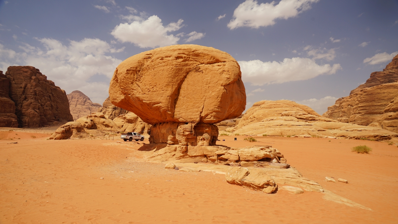
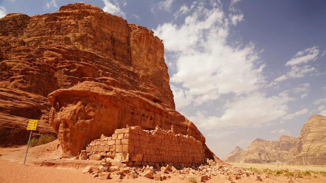
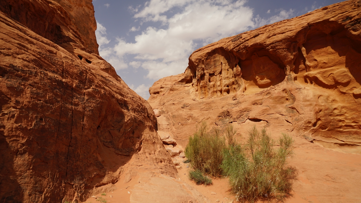
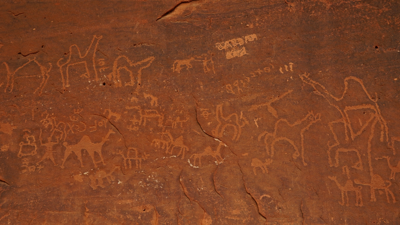
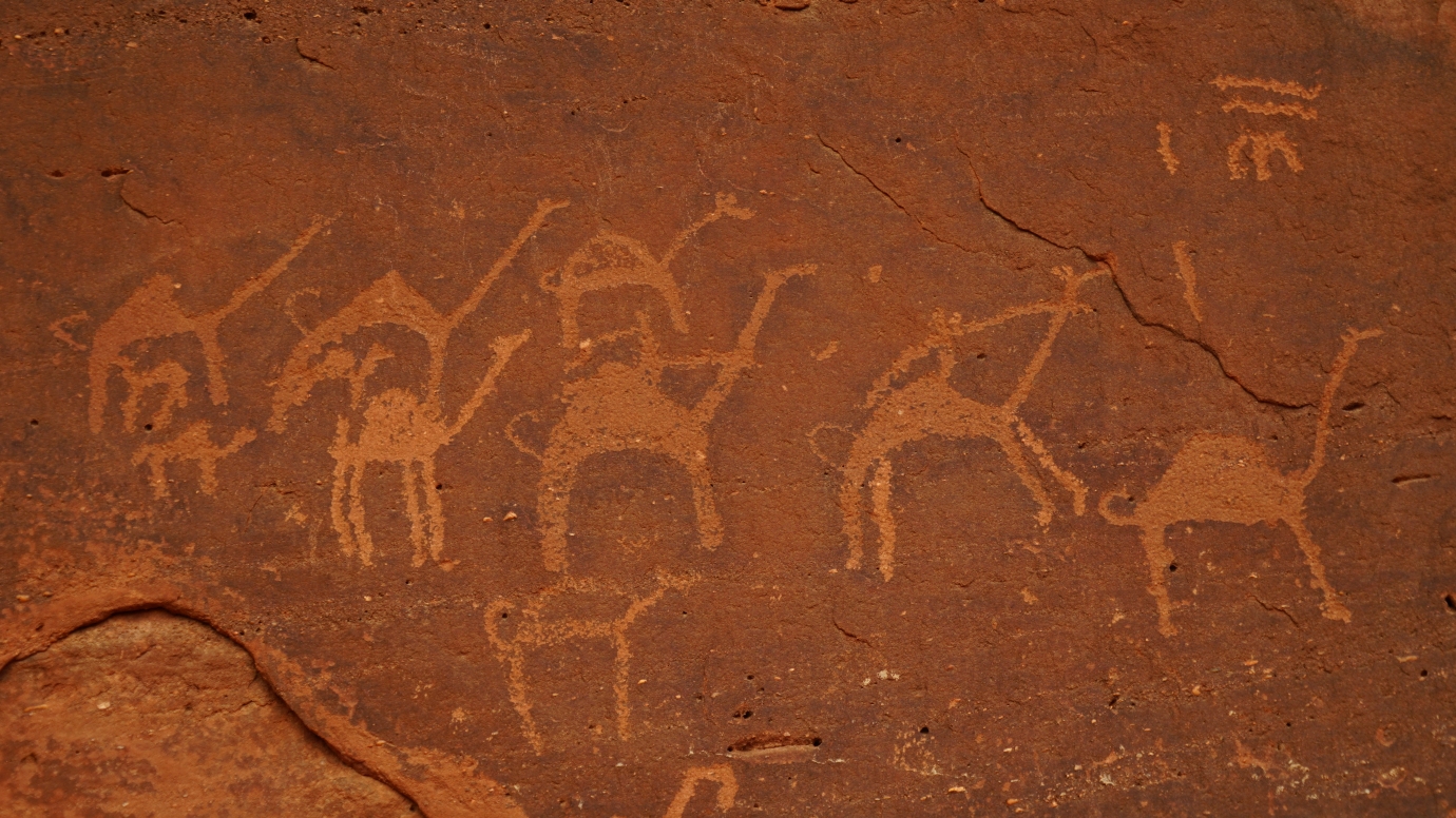
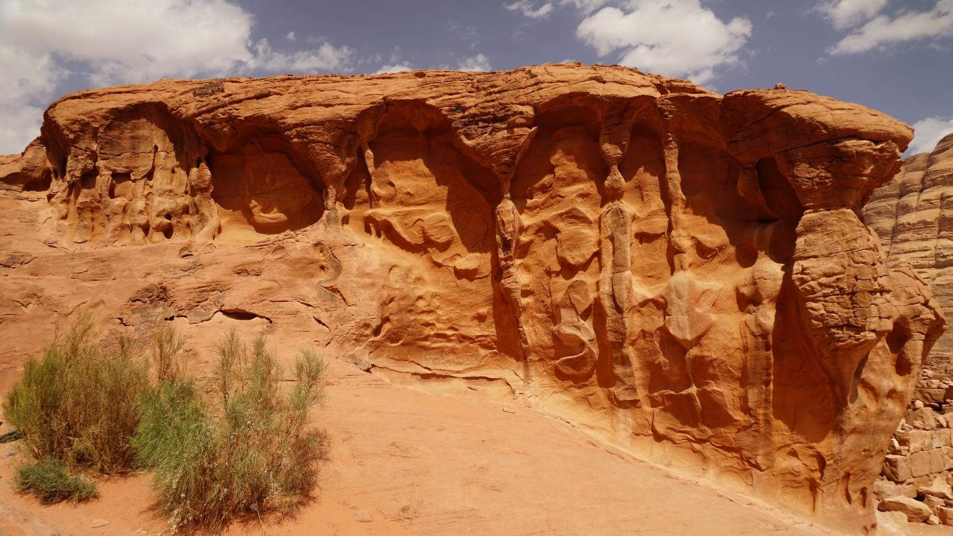
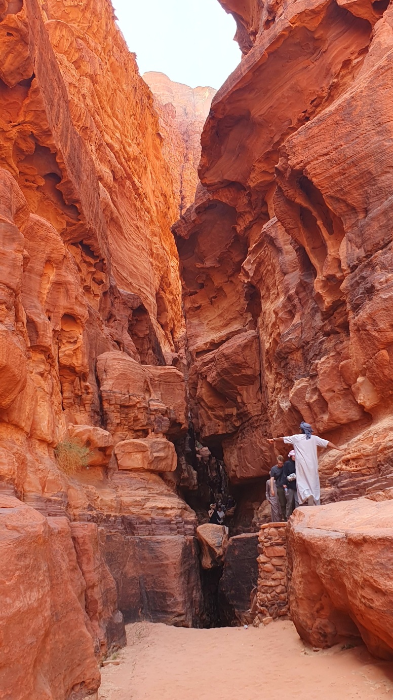
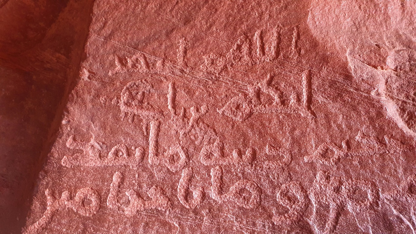
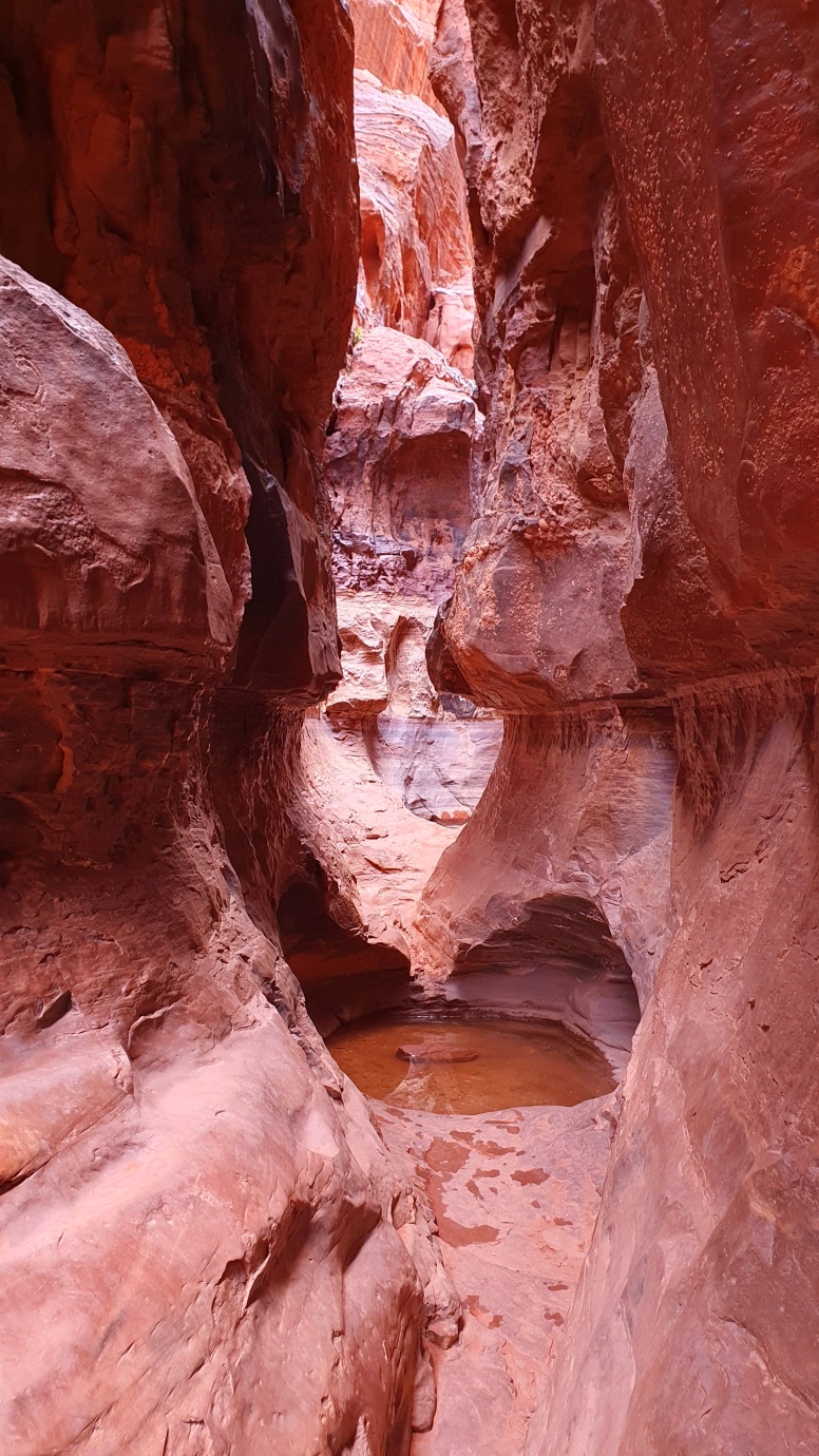
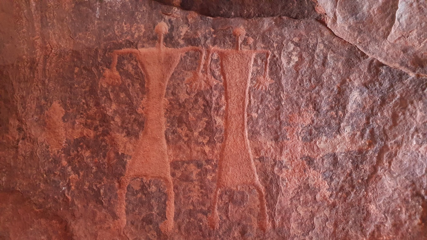
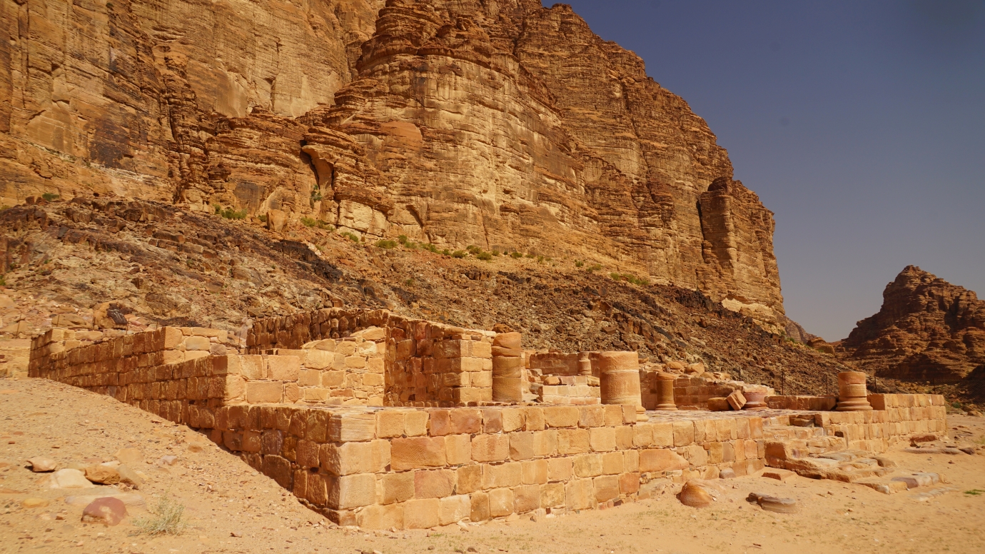
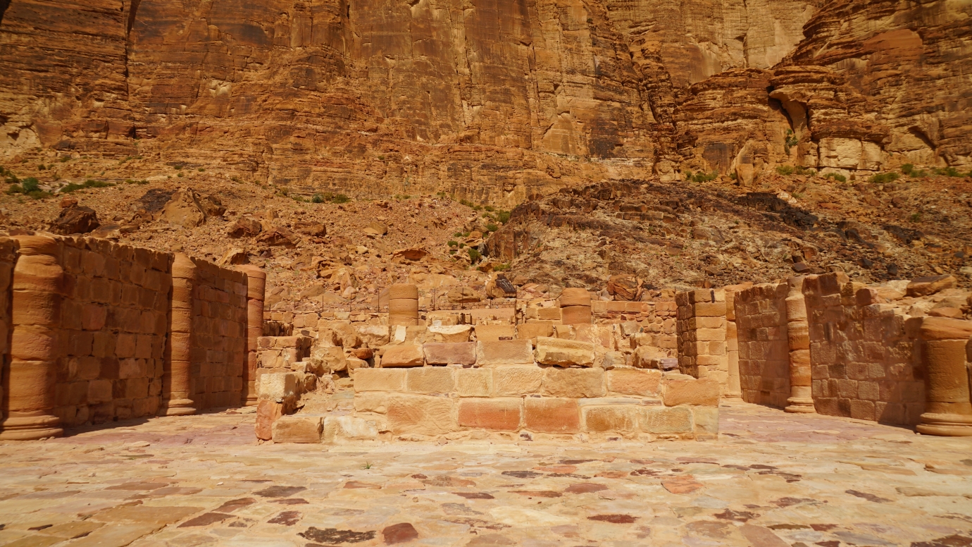
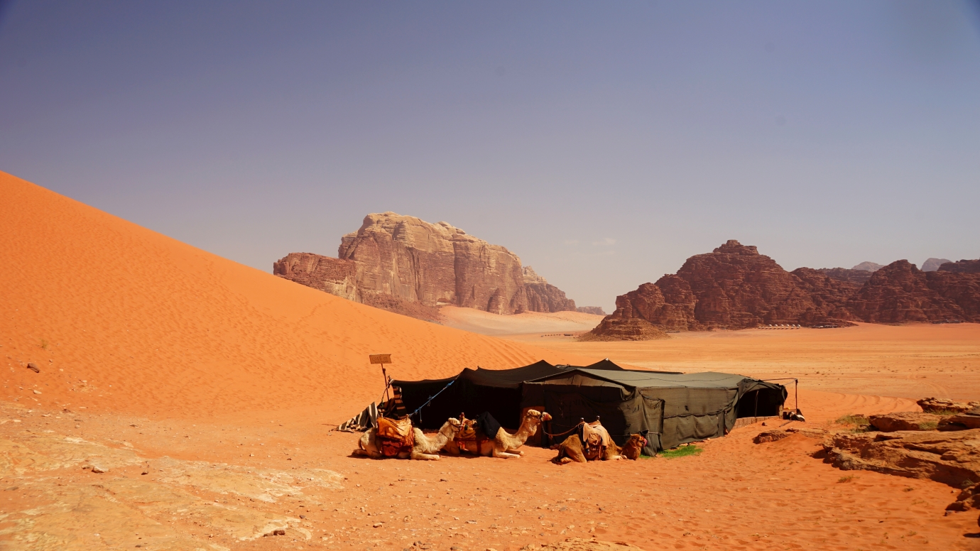
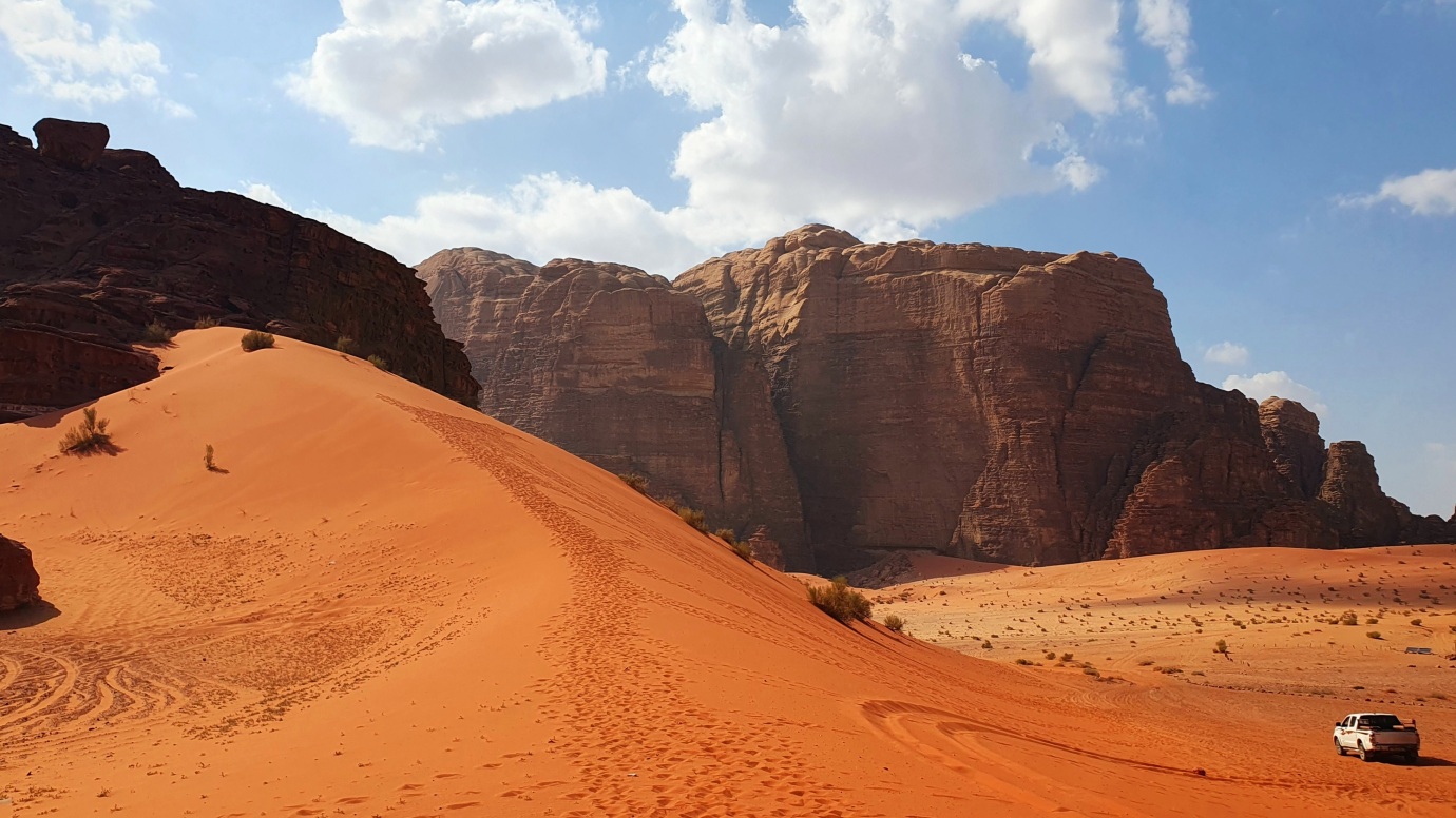
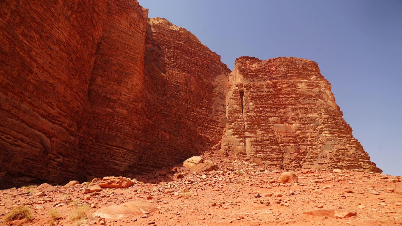
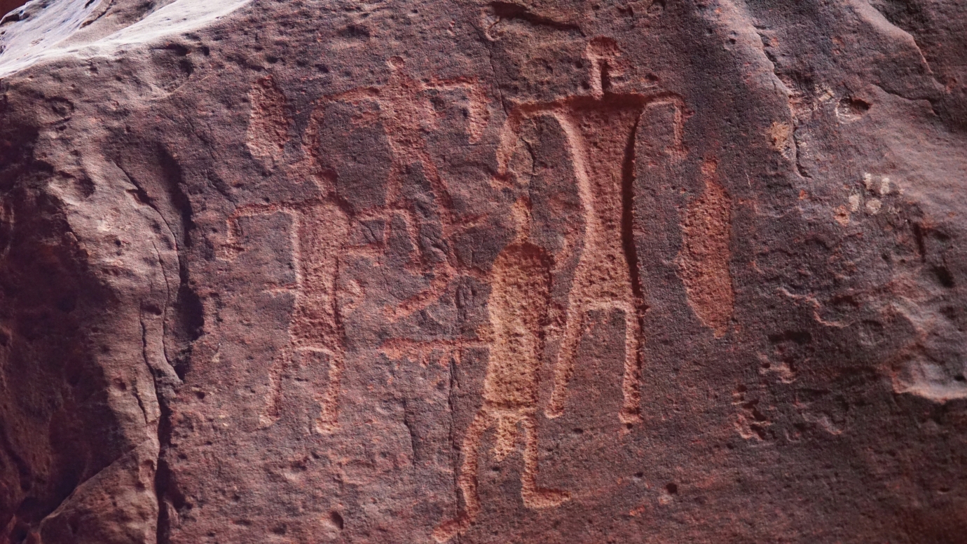
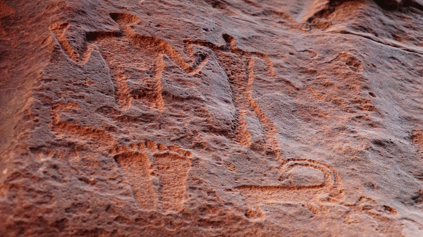
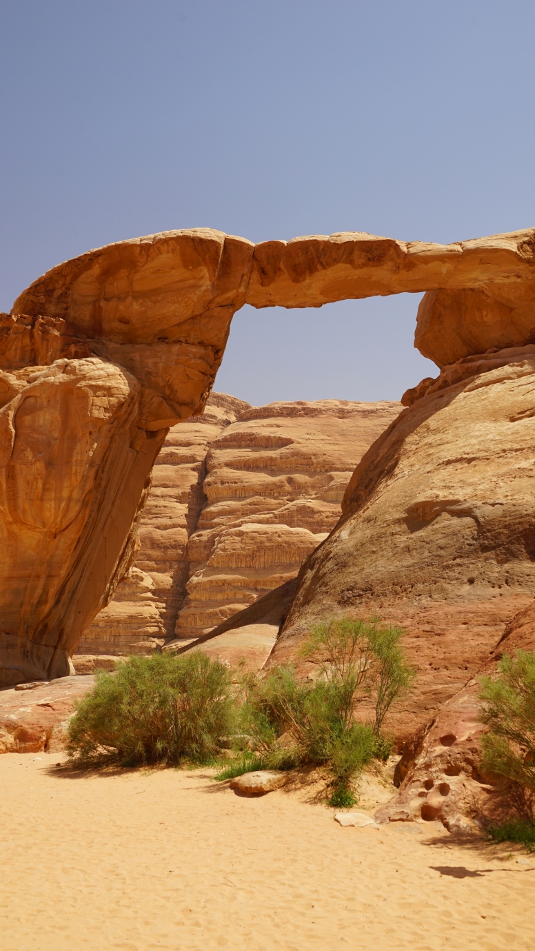
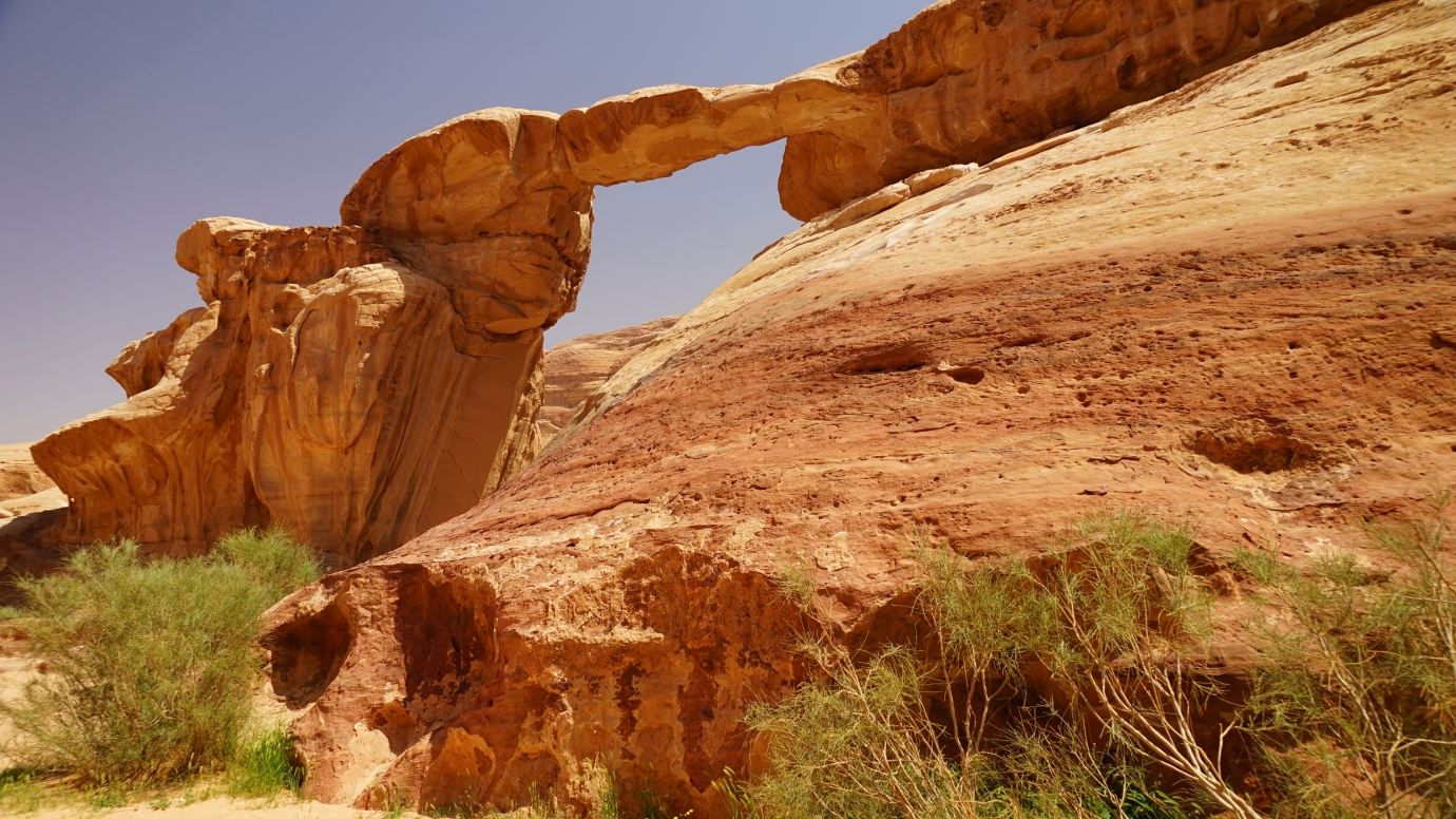
We created our itinerary, which we leisurely completed in 6 hours but paid for 8 hours (80 JOD) as agreed with Ahmed before. We followed this route: Nabataean Temple ➡ Ain Abu Aineh (Lawrence’s Spring) ➡ Al Hasany Dunes ➡ Khazali Siq ➡ Little Rock Bridge ➡ Umm Fruth Rock Bridge ➡ Barrah Canyon ➡ Burdah Rock Bridge ➡ Mushroom Rock ➡ Lawrence’s House ➡ Anfaishiyya Inscriptions ➡ Red Dunes ➡ Jebel Rum ➡ Seven Pillars of Wisdom. We didn’t visit the Alameleh Inscriptions and Siq Umm Tawaqi because drivers from Rum Village can’t go there; it should be the driver from Diseh Village 🤪😱.


Parking location – Wadi Rum: 29.578132N 35.419371E